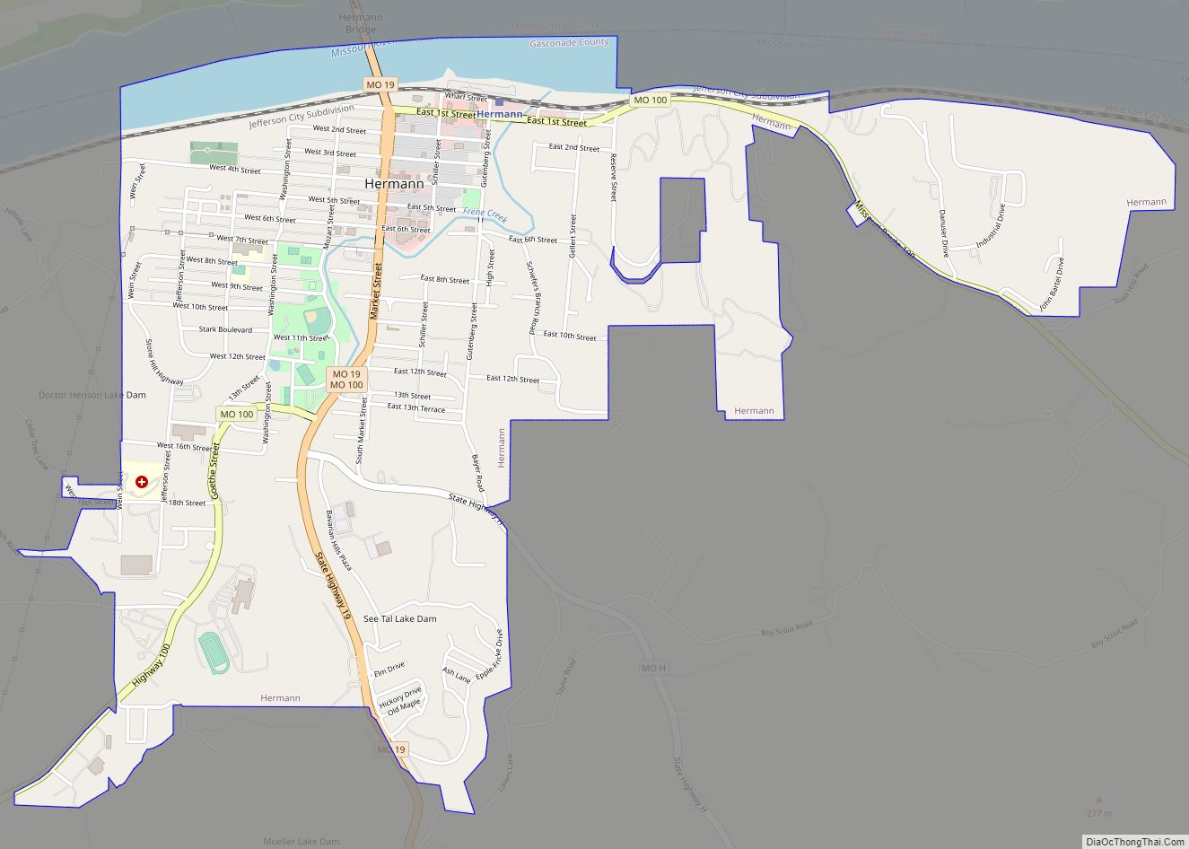
Hermann is a city in and the county seat of Gasconade County, Missouri, United States. It has been the county seat since 1842. It is near the center of the Missouri Rhineland and south of the Missouri River. The population was 2,185 at the 2020 census.
The city is the commercial center of the Hermann American Viticultural Area, whose seven wineries produce about one-third of the state’s wine. Designated in 1983, it is one of the first federally recognized American Viticultural Areas. The designation recognized the renaissance of an area of vineyards and wineries established by German immigrants during the mid-19th century. Shut down by Prohibition, it began to revive in the 1960s.
Hermann holds a Maifest during the third weekend in May and an Oktoberfest the first four weekends in October. Hermann also calls itself the sausage-making capital of Missouri.
Hermann High School holds the state record for the most girls high school volleyball championships in Missouri.
| Name: | Hermann city |
|---|---|
| LSAD Code: | 25 |
| LSAD Description: | city (suffix) |
| State: | Missouri |
| County: | Gasconade County |
| Elevation: | 528 ft (161 m) |
| Total Area: | 2.71 sq mi (7.01 km²) |
| Land Area: | 2.53 sq mi (6.54 km²) |
| Water Area: | 0.18 sq mi (0.47 km²) |
| Total Population: | 2,185 |
| Population Density: | 864.66/sq mi (333.85/km²) |
| ZIP code: | 65041 |
| Area code: | 573 |
| FIPS code: | 2931762 |
| GNISfeature ID: | 0719397 |
| Website: | www.hermannmo.com#&www.visithermann.com |
Online Interactive Map
Click on ![]() to view map in "full screen" mode.
to view map in "full screen" mode.
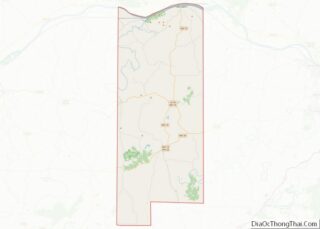
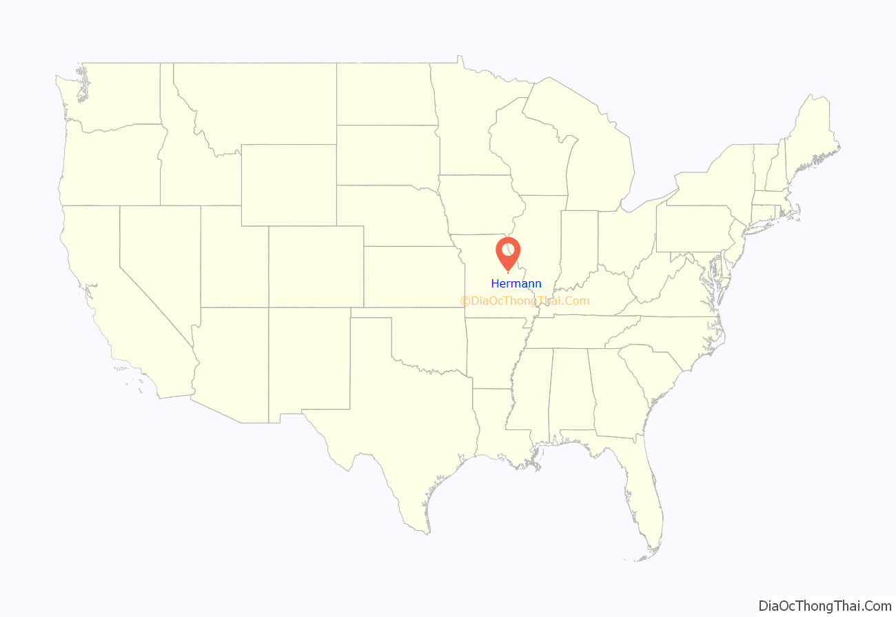
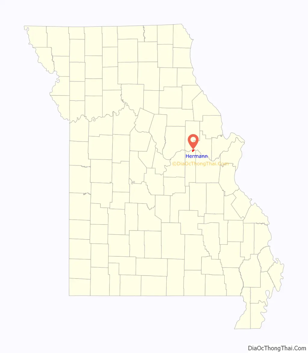
Hermann location map. Where is Hermann city?
History
The city was founded by the Deutsche Ansiedlungs-Gesellschaft zu Philadelphia (German Settlement Society of Philadelphia) in 1837. It was promoted by Gottfried Duden, who wrote about the area in his Bericht über eine Reise nach den westlichen Staaten Nord Amerikas (Report of a Journey to the Western States of Northern America). In November 1837, an early group of settlers was led by George Bayer, who bought the land on the behalf of the Society. However, George was waylaid in Pittsburgh due to illness and arrived in Hermann in the spring of 1838 leading another group of families. The town was platted after the society sold shares in the 11,300 acres (4,600 ha) of Gasconade River valley land it had purchased.
The society had almost utopian goals of a “heart of German-America” where it could perpetuate traditional German culture and establish a self-supporting colony built around farming, commerce, and industry. The town is named after Hermann der Cherusker, a Germanic leader who defeated the Romans in the Battle of the Teutoburg Forest in the year 9 AD. In 2009, Hermann celebrated the 2000th anniversary of the battle, in which the Germanic warrior Hermann defeated three Roman legions.
A bronze statue of the city’s namesake was dedicated in the Hermann Park.
Hermann was the nearest town after the Gasconade Bridge train disaster, November 1, 1855. The Leimer Hotel in Hermann was used as a temporary hospital to treat the wounded.
In the 1960s, people began to rebuild the wine industry in the Hermann area.
Today, the vineyards and wineries contribute to the agricultural and heritage tourism economies, with winery tours and wine tastings. Stone Hill Winery, the largest winemaking business in the state and Hermannhof Winery are in the town. 2 miles (3.2 km) south of town off Missouri Highway 100 West is Adam Puchta Winery, the oldest continuously family-owned winery in the nation, under direct family ownership since 1855. Bias Vineyards is less than 8 miles (13 km) east near Berger on Missouri Highway 100. Also included in the Hermann AVA are Oakglenn Vineyards and Winery, 2.5 miles (4.0 km) east of Hermann; Bommarito Estate Almond Tree Winery; and Röbbler Vineyards and Winery near New Haven.
The Katy Trail, a 225-mile (362 km)-long bike path, passes through McKittrick, a town on the northern side of the Missouri River across from Hermann.
The Hermann Historic District, Kotthoff-Weeks Farm Complex, Old Stone Hill Historic District, William Poeschel House, The Rotunda, and Vallet-Danuser House are listed on the National Register of Historic Places.
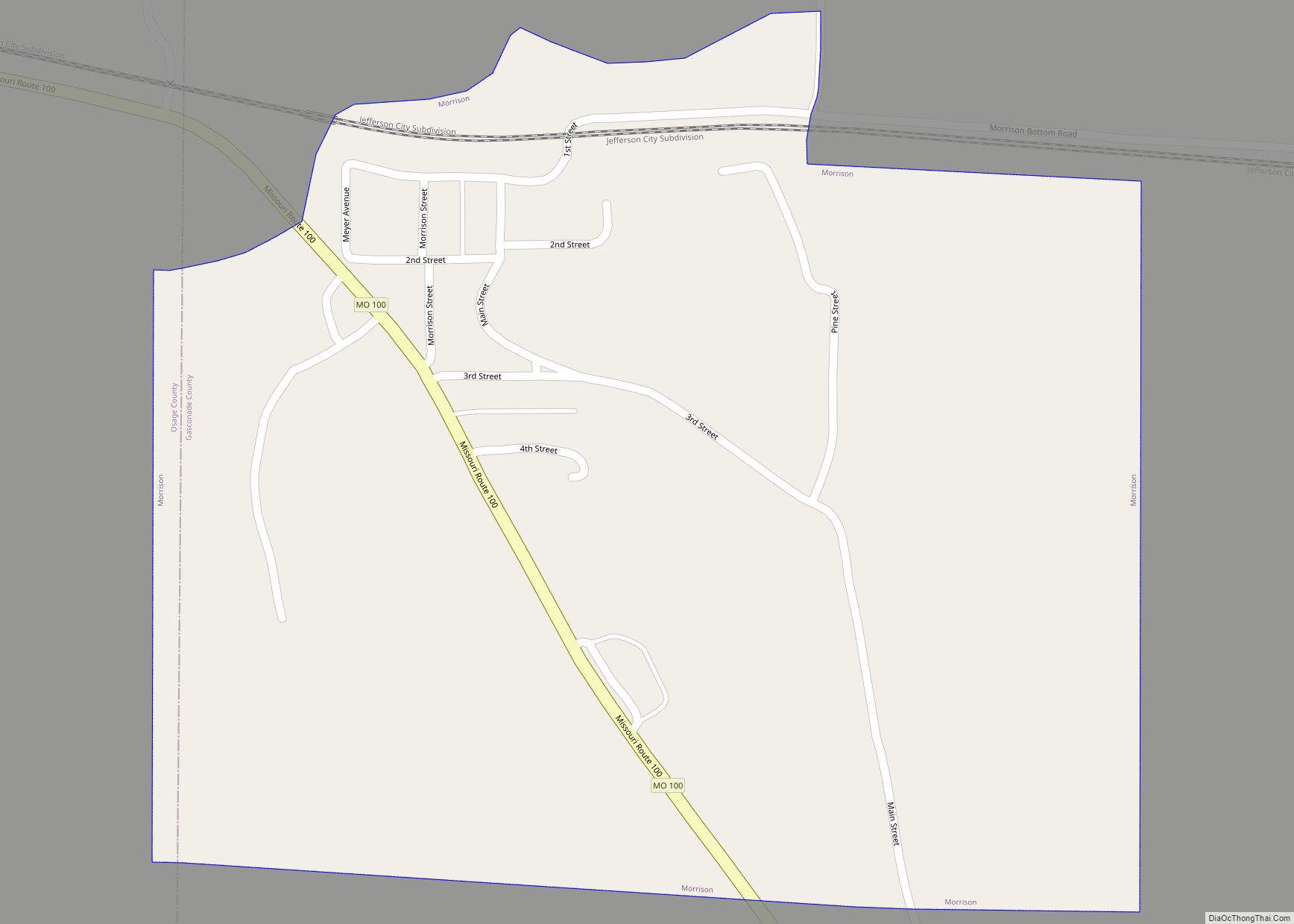
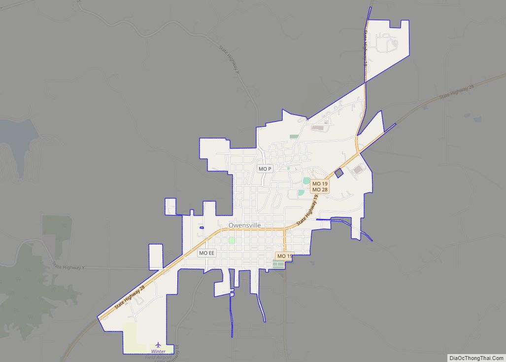
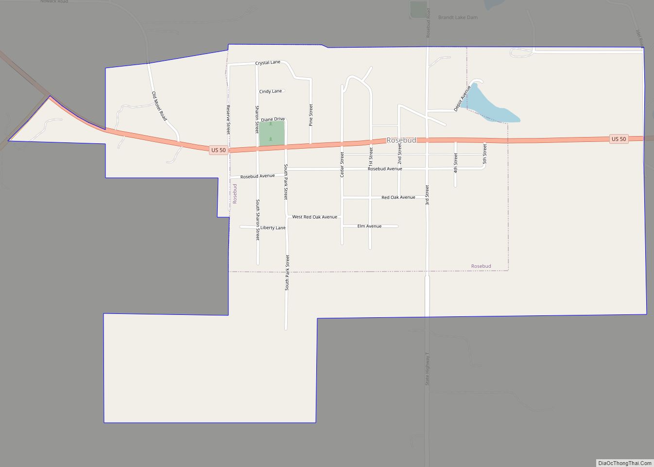
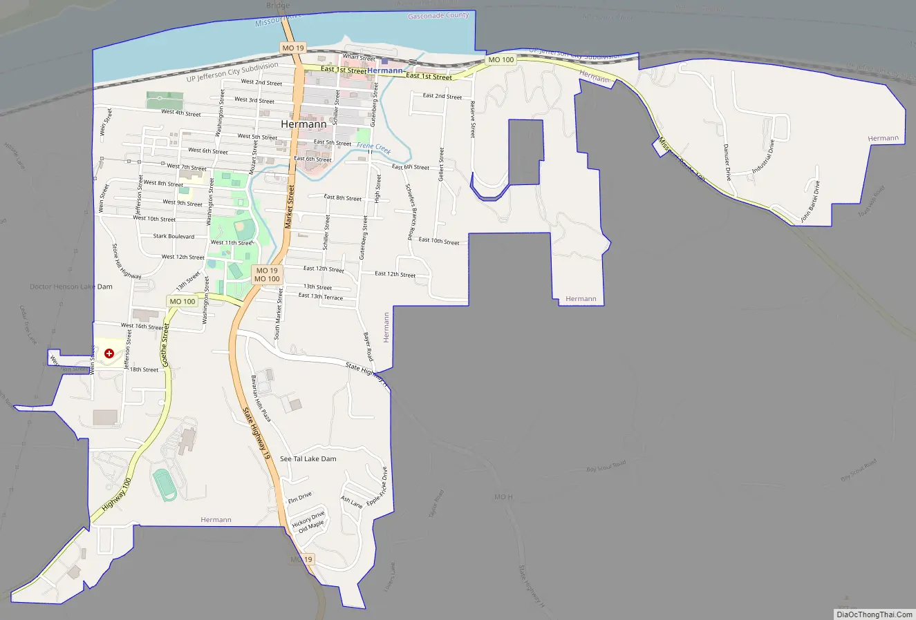
Hermann Road Map
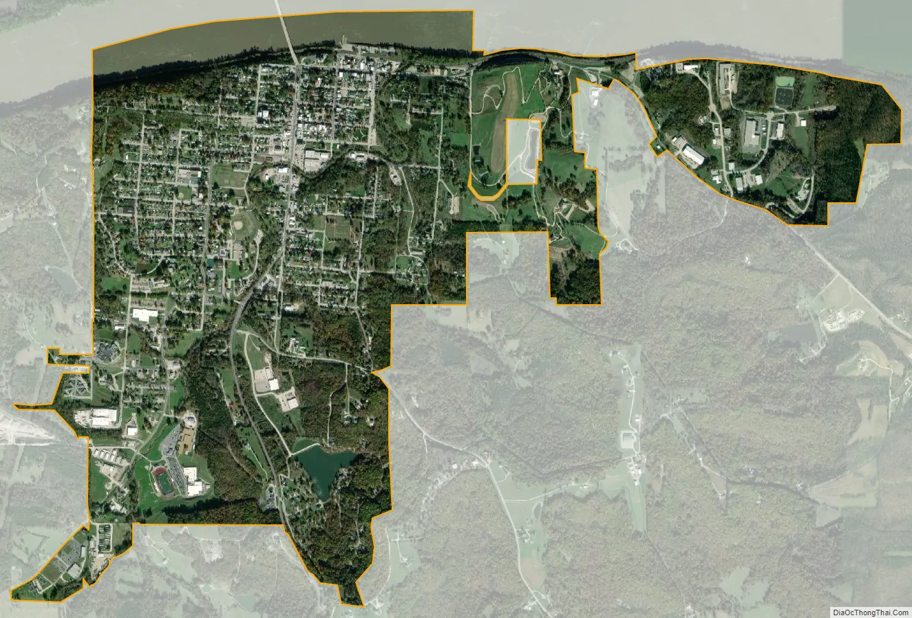
Hermann city Satellite Map
See also
Map of Missouri State and its subdivision:- Adair
- Andrew
- Atchison
- Audrain
- Barry
- Barton
- Bates
- Benton
- Bollinger
- Boone
- Buchanan
- Butler
- Caldwell
- Callaway
- Camden
- Cape Girardeau
- Carroll
- Carter
- Cass
- Cedar
- Chariton
- Christian
- Clark
- Clay
- Clinton
- Cole
- Cooper
- Crawford
- Dade
- Dallas
- Daviess
- De Kalb
- Dent
- Douglas
- Dunklin
- Franklin
- Gasconade
- Gentry
- Greene
- Grundy
- Harrison
- Henry
- Hickory
- Holt
- Howard
- Howell
- Iron
- Jackson
- Jasper
- Jefferson
- Johnson
- Knox
- Laclede
- Lafayette
- Lawrence
- Lewis
- Lincoln
- Linn
- Livingston
- Macon
- Madison
- Maries
- Marion
- McDonald
- Mercer
- Miller
- Mississippi
- Moniteau
- Monroe
- Montgomery
- Morgan
- New Madrid
- Newton
- Nodaway
- Oregon
- Osage
- Ozark
- Pemiscot
- Perry
- Pettis
- Phelps
- Pike
- Platte
- Polk
- Pulaski
- Putnam
- Ralls
- Randolph
- Ray
- Reynolds
- Ripley
- Saint Charles
- Saint Clair
- Saint Francois
- Saint Louis
- Sainte Genevieve
- Saline
- Schuyler
- Scotland
- Scott
- Shannon
- Shelby
- Stoddard
- Stone
- Sullivan
- Taney
- Texas
- Vernon
- Warren
- Washington
- Wayne
- Webster
- Worth
- Wright
- Alabama
- Alaska
- Arizona
- Arkansas
- California
- Colorado
- Connecticut
- Delaware
- District of Columbia
- Florida
- Georgia
- Hawaii
- Idaho
- Illinois
- Indiana
- Iowa
- Kansas
- Kentucky
- Louisiana
- Maine
- Maryland
- Massachusetts
- Michigan
- Minnesota
- Mississippi
- Missouri
- Montana
- Nebraska
- Nevada
- New Hampshire
- New Jersey
- New Mexico
- New York
- North Carolina
- North Dakota
- Ohio
- Oklahoma
- Oregon
- Pennsylvania
- Rhode Island
- South Carolina
- South Dakota
- Tennessee
- Texas
- Utah
- Vermont
- Virginia
- Washington
- West Virginia
- Wisconsin
- Wyoming