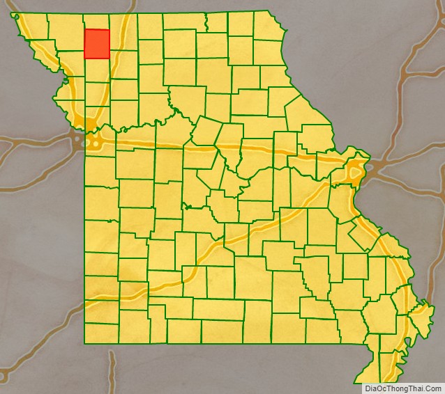
Gentry County is a county located in the northwestern portion of the U.S. state of Missouri. As of the 2020 census, the population was 6,162. Its county seat is Albany. The county was organized February 14, 1841 and named for Colonel Richard Gentry of Boone County, who fell in the Seminole War in 1837.
| Name: | Gentry County |
|---|---|
| FIPS code: | 29-075 |
| State: | Missouri |
| Founded: | February 14, 1841 |
| Named for: | Richard Gentry |
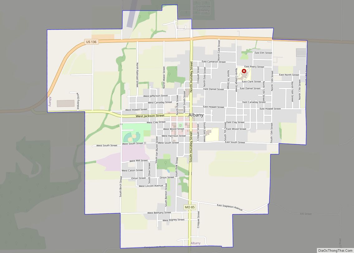
| Seat: | Albany |
| Largest city: | Albany |
| Total Area: | 492 sq mi (1,270 km²) |
| Land Area: | 491 sq mi (1,270 km²) |
| Total Population: | 6,162 |
| Population Density: | 13/sq mi (4.8/km²) |
| Time zone: | UTC−6 (Central) |
| Summer Time Zone (DST): | UTC−5 (CDT) |
| Website: | gentrycounty.net |
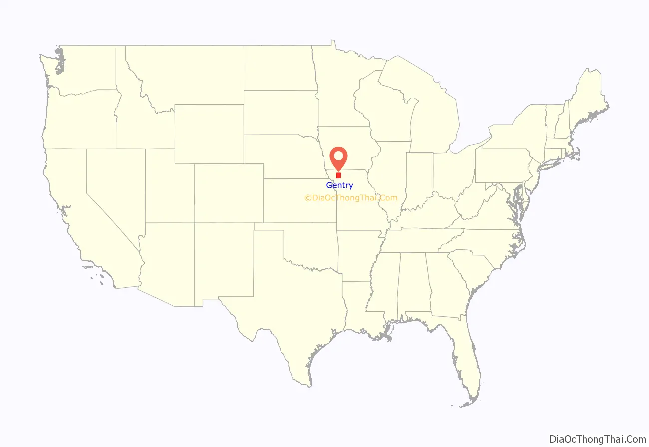
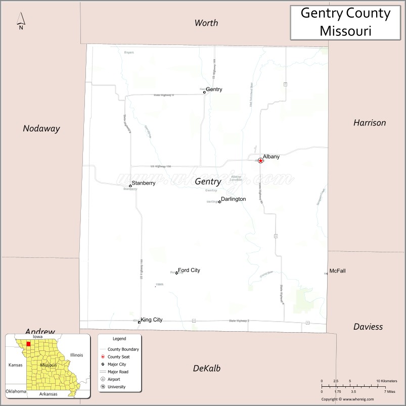
Gentry County location map. Where is Gentry County?
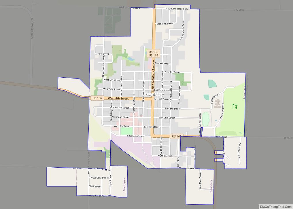
Gentry County Road Map

Geography
According to the U.S. Census Bureau, the county has a total area of 492 square miles (1,270 km), of which 491 square miles (1,270 km) is land and 0.3 square miles (0.78 km) (0.06%) is water.
Adjacent counties
- Worth County (north)
- Harrison County (east)
- Daviess County (southeast)
- DeKalb County (south)
- Andrew County (southwest)
- Nodaway County (west)
Major highways
- U.S. Route 136
- U.S. Route 169
- Route 48
- Route 85
Gentry County Topographic Map

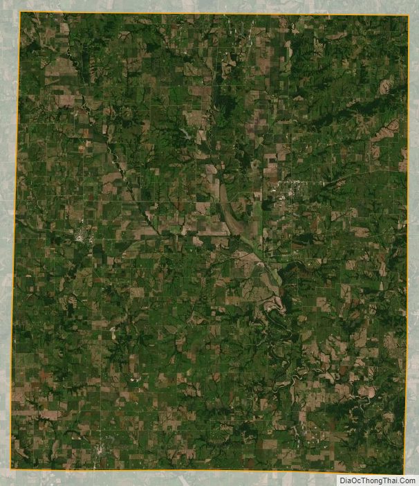
Gentry County Satellite Map
Gentry County Outline Map