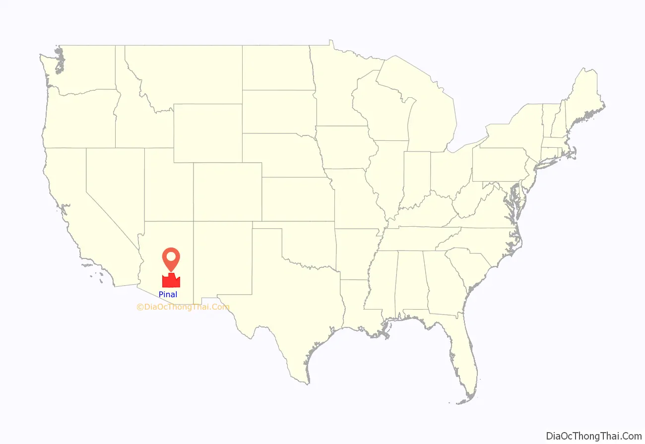
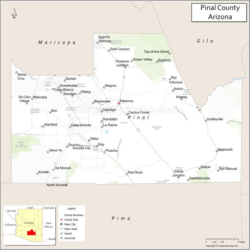
Pinal County is in the central part of the U.S. state of Arizona. According to the 2020 census, the population of the county was 425,264, making it Arizona’s third-most populous county. The county seat is Florence. The county was founded in 1875.
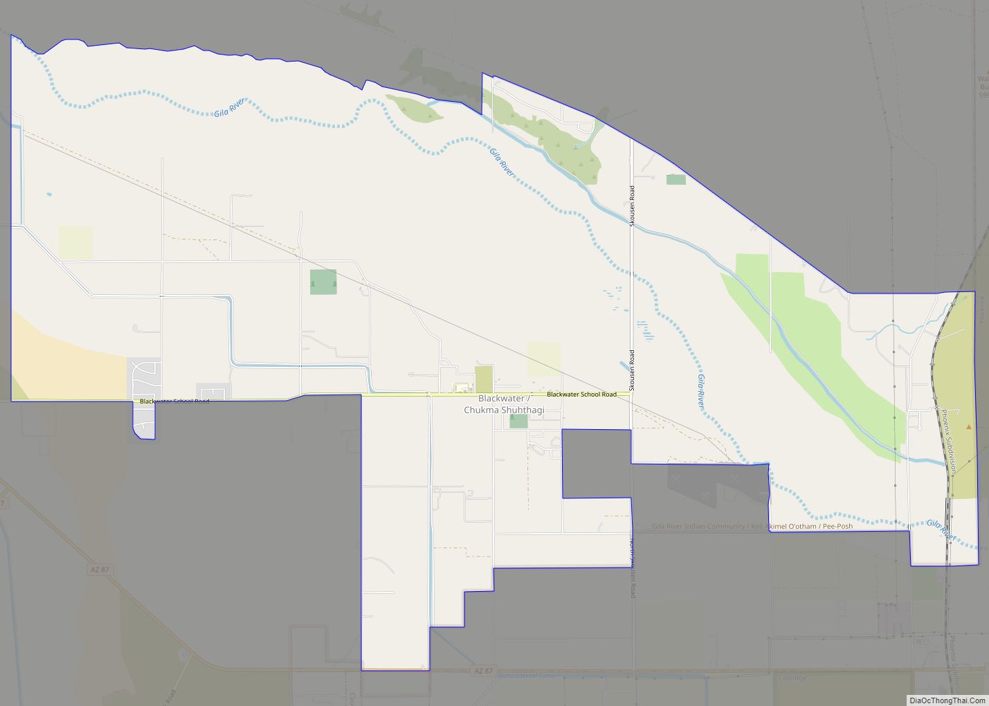
Pinal County contains parts of the Tohono Oʼodham Nation, the Gila River Indian Community and the San Carlos Apache Indian Reservation, as well as all of the Ak-Chin Indian Community.
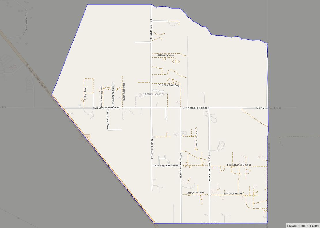
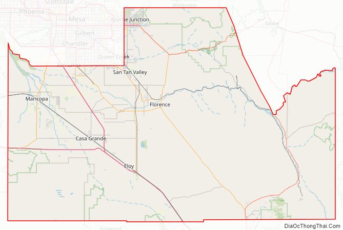
Pinal County is included in the Phoenix–Mesa–Scottsdale, Arizona Metropolitan Statistical Area. Suburban growth southward from greater Phoenix has begun to spread into the county’s northern parts; similarly, growth northward from Tucson is spreading into the county’s southern portions. Pinal County has five cities: Maricopa, Casa Grande, Apache Junction, Eloy, and Coolidge. There are also many unincorporated areas, which have shown accelerated growth patterns in recent years; such suburban development is likely to continue for the foreseeable future.
| Name: | Pinal County |
|---|---|
| FIPS code: | 04-021 |
| State: | Arizona |
| Founded: | February 1, 1875 |
| Named for: | Pinal Peak |
| Seat: | Florence |
| Total Area: | 5,374 sq mi (13,920 km²) |
| Land Area: | 5,366 sq mi (13,900 km²) |
| Total Population: | 425,264 |
| Population Density: | 79/sq mi (31/km²) |
| Time zone: | UTC−7 (Mountain) |
| Website: | www.pinalcountyaz.gov |
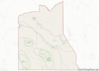
Pinal County location map. Where is Pinal County?
History
Pinal County was carved out of neighboring Maricopa County and Pima County on February 1, 1875, during the Eighth Legislature. In the August 18, 1899, issue of The Arizona Magazine, the name “Pinal” is said to come from the pine-clad Pinal Mountains. Pinal County was the second-fastest-growing county in the U.S. between 2000 and 2010.
In 2010, CNN Money named Pinal County as the second fastest growing county in the USA.
Pinal County Road Map
Geography
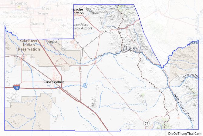
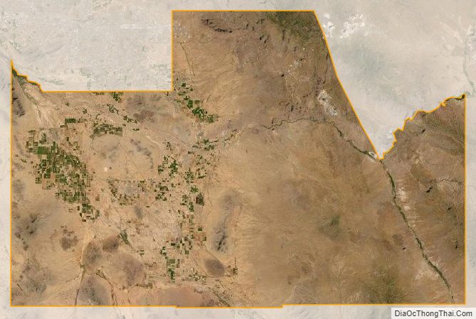
According to the United States Census Bureau, the county has a total area of 5,374 square miles (13,920 km), of which 5,366 square miles (13,900 km) is land and 8.6 square miles (22 km) (0.2%) is water.
Mountain ranges
- Mineral Mountains
- Sacaton Mountains
- Superstition Mountains
- Waterman Mountains
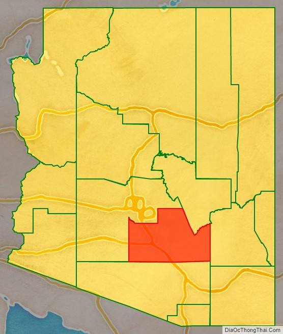
Adjacent counties
- Maricopa County – west, north
- Gila County – north
- Graham County – east
- Pima County – south
Major highways
- Interstate 8
- Interstate 10
- U.S. Route 60
- Historic U.S. Route 80
- State Route 24
- State Route 77
- State Route 79
- State Route 84
- State Route 87
- State Route 177
- State Route 187
- State Route 238
- State Route 287
- State Route 347
- State Route 387
- State Route 587
National protected areas
- Casa Grande Ruins National Monument
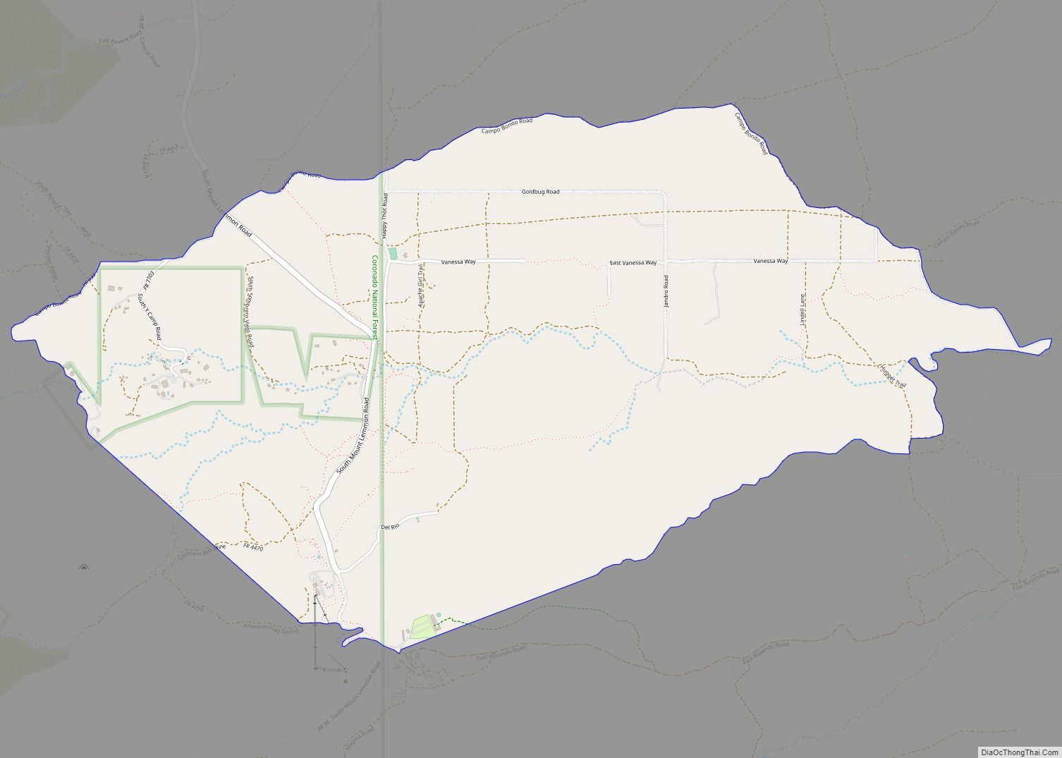
- Coronado National Forest (part)
- Hohokam Pima National Monument
- Ironwood Forest National Monument (part)
- Sonoran Desert National Monument (part)
- Tonto National Forest (part)
Pinal County Topographic Map
Pinal County Satellite Map
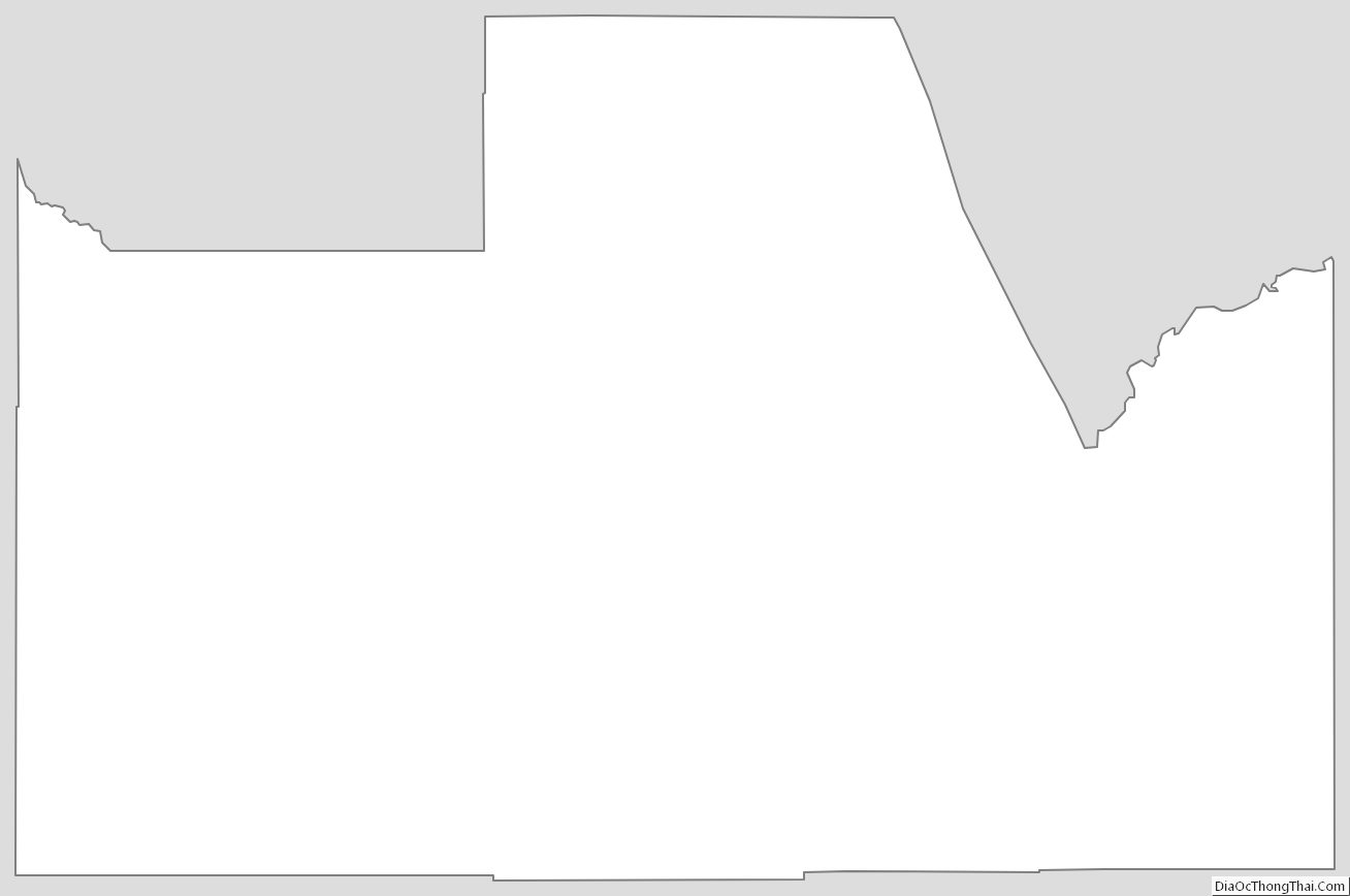
Pinal County Outline Map