Grant County is a county in the U.S. state of South Dakota. As of the 2020 United States Census, the population was 7,556. The county seat is Milbank. The county was founded in 1873 and organized in 1878. It is named for Ulysses S. Grant, 18th President of the United States.
| Name: | Grant County |
|---|---|
| FIPS code: | 46-051 |
| State: | South Dakota |
| Founded: | 1873 |
| Named for: | Ulysses S. Grant |
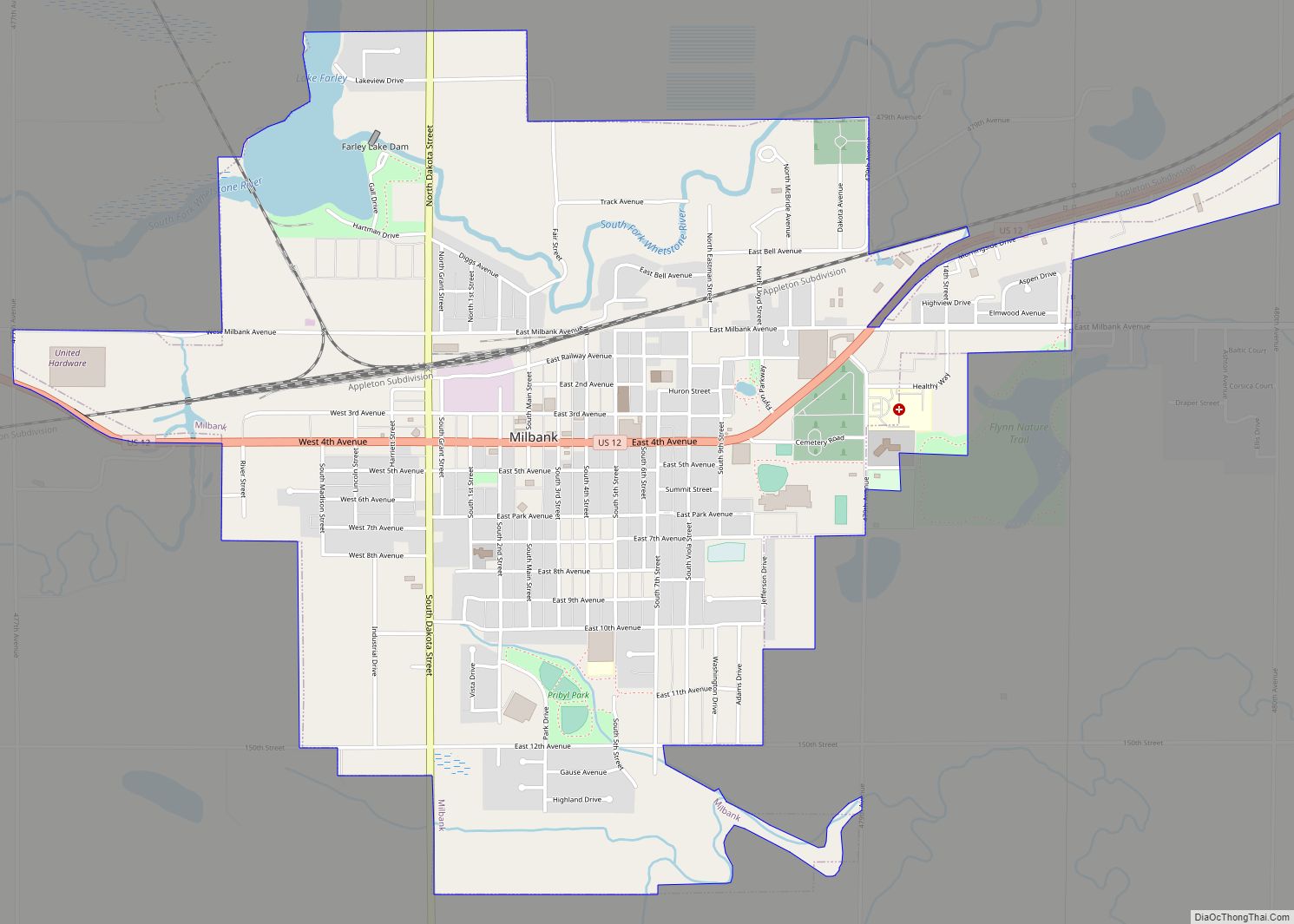
| Seat: | Milbank |
| Largest city: | Milbank |
| Total Area: | 688 sq mi (1,780 km²) |
| Land Area: | 681 sq mi (1,760 km²) |
| Total Population: | 7,556 |
| Population Density: | 11/sq mi (4.2/km²) |
| Time zone: | UTC−6 (Central) |
| Summer Time Zone (DST): | UTC−5 (CDT) |
| Website: | grantcounty.sd.gov |
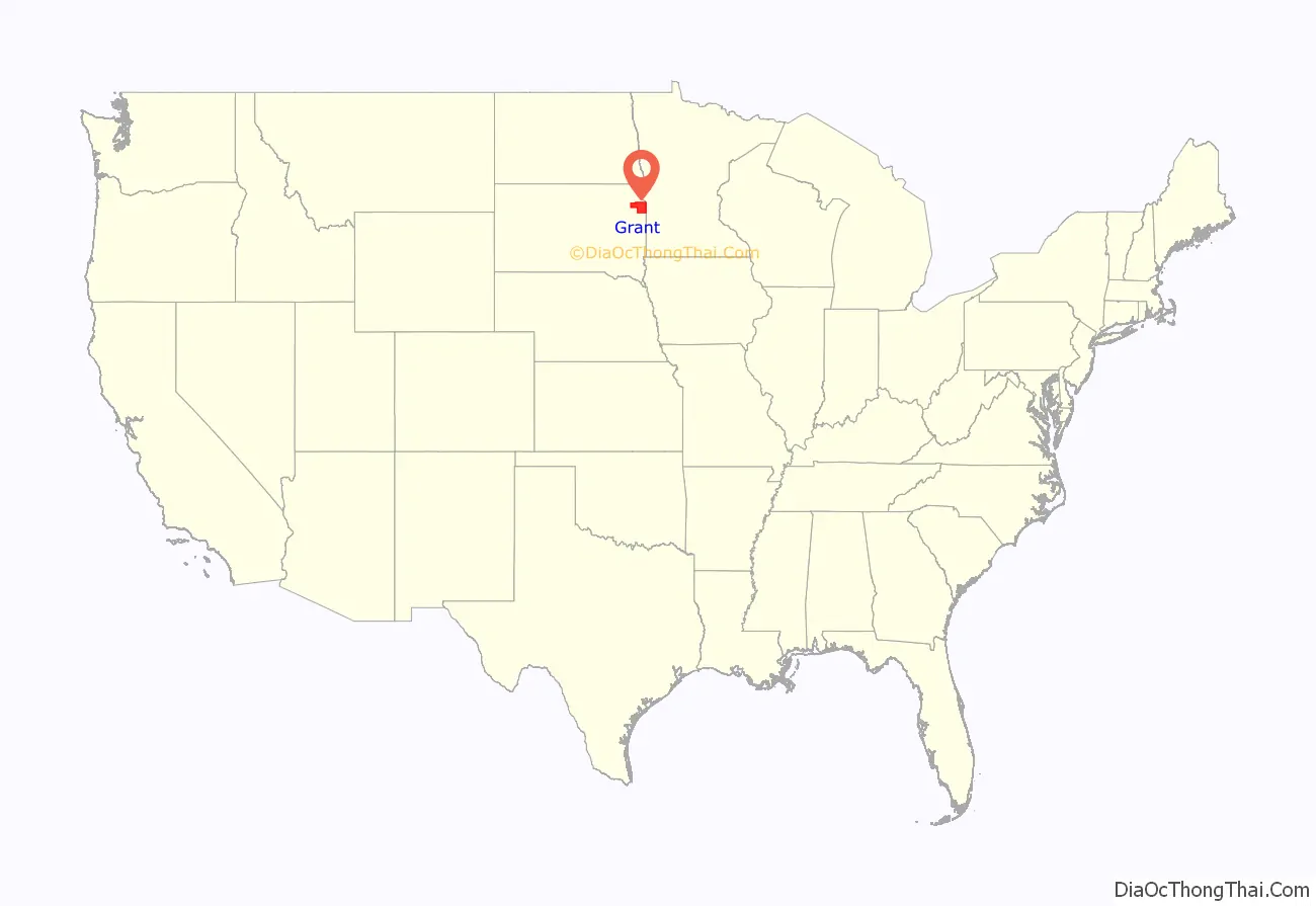
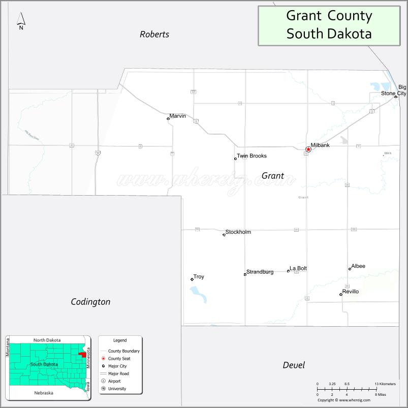
Grant County location map. Where is Grant County?
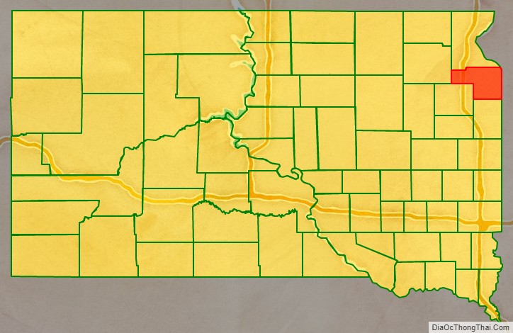
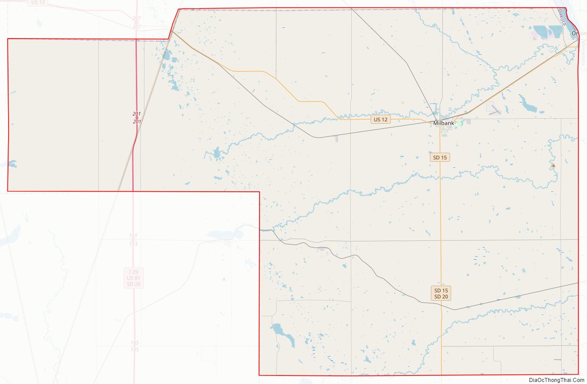
Grant County Road Map
Geography
Grant County lies on the east side of South Dakota. Its east boundary line abuts the west boundary line of the state of Minnesota. The terrain consists of rolling hills, sloping to the northeast. The area is largely devoted to agriculture. The highest point of the terrain is on the county’s south boundary line, towards its southwest corner, at 2,014′ (614m) ASL.
Grant County has a total area of 688 square miles (1,780 km), of which 681 square miles (1,760 km) is land and 6.1 square miles (16 km) (0.9%) is water.
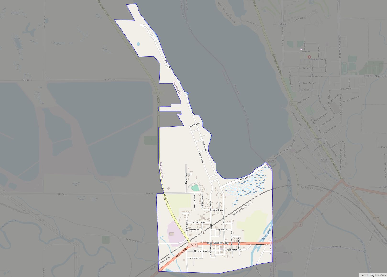
The lowest point in the state of South Dakota is located on Big Stone Lake at Big Stone City in Grant County, adjacent to Ortonville, Minnesota, where the lake flows into the Minnesota River.
Major highways
- Interstate 29
- U.S. Route 12
- U.S. Route 81
- South Dakota Highway 15
- South Dakota Highway 20
- South Dakota Highway 109
- South Dakota Highway 123
- South Dakota Highway 158
Adjacent counties
- Roberts County—north
- Big Stone County, Minnesota—northeast
- Lac qui Parle County, Minnesota—east
- Deuel County—south
- Codington County—southwest
- Day County—west
Protected areas
- Mazeppa State Public Shooting Area
- Mud Lake State Public Shooting Area
Lakes
- Big Stone Lake (adjacent)
- Crooked Lake
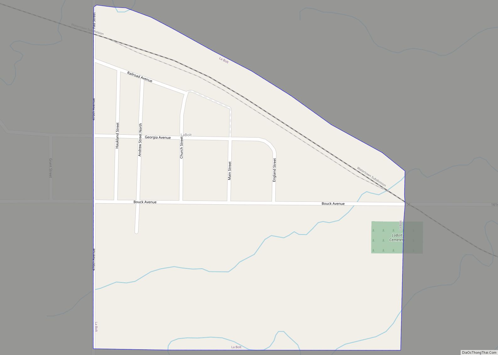
- LaBolt Lake
- Lake Albert
- Lake Farley
- Lonesome Lake (partial)
- Mud Lake
- Myers Lake
- Summit Lake
- Twin Lakes
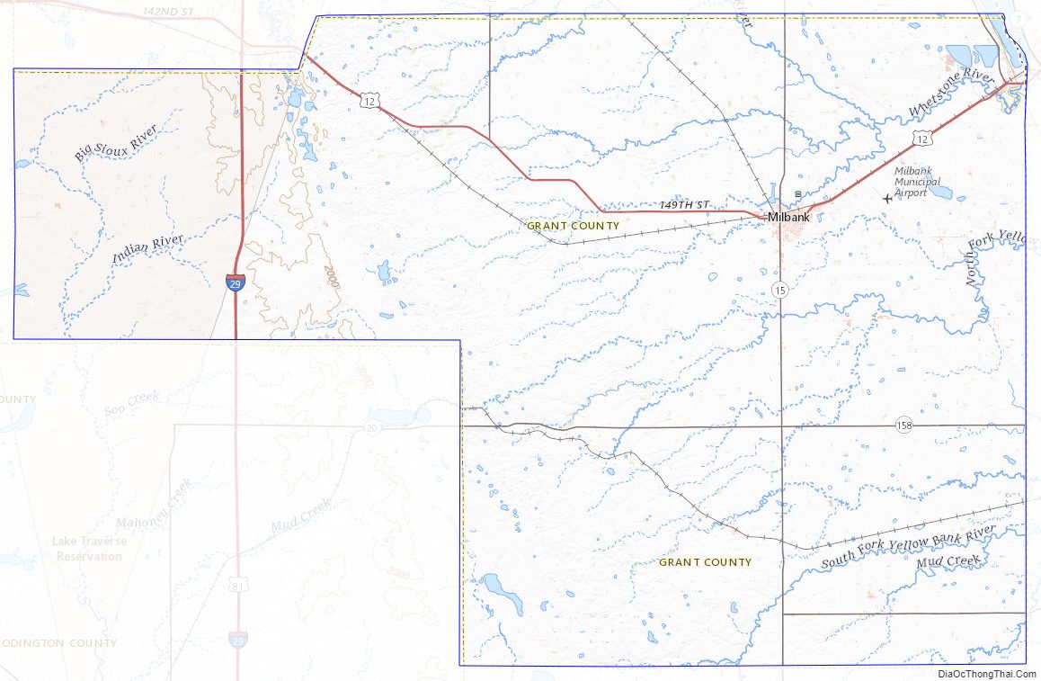
Grant County Topographic Map
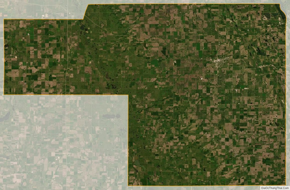
Grant County Satellite Map
Grant County Outline Map