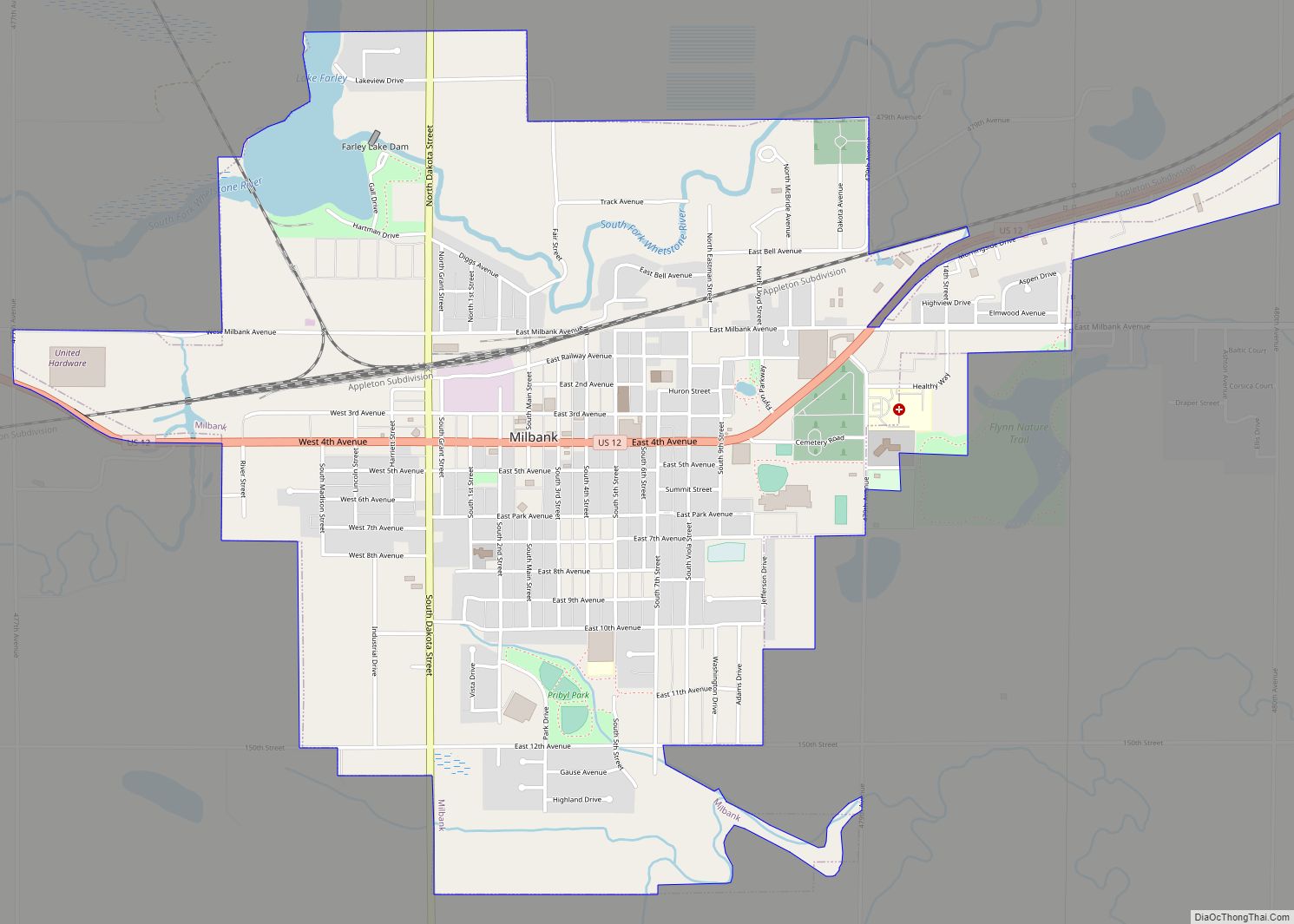
Milbank is a city in Grant County, South Dakota, United States, located along the South Fork of the Whetstone River. The population was 3,544 at the 2020 census. It is the county seat of Grant County. Milbank is the birthplace of American Legion Baseball. The program was created in Milbank in 1925 and is now enjoyed by high school aged youth on more than five thousand teams in all fifty states.
| Name: | Milbank city |
|---|---|
| LSAD Code: | 25 |
| LSAD Description: | city (suffix) |
| State: | South Dakota |
| County: | Grant County |
| Incorporated: | 1881 |
| Elevation: | 1,152 ft (351 m) |
| Total Area: | 2.86 sq mi (7.40 km²) |
| Land Area: | 2.77 sq mi (7.19 km²) |
| Water Area: | 0.08 sq mi (0.22 km²) |
| Total Population: | 3,544 |
| Population Density: | 1,277.58/sq mi (493.20/km²) |
| ZIP code: | 57252-57253 |
| Area code: | 605 |
| FIPS code: | 4642260 |
| GNISfeature ID: | 1256459 |
| Website: | www.milbanksd.com |
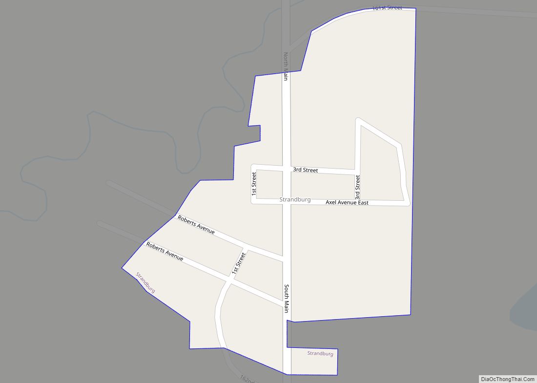
Online Interactive Map
Click on ![]() to view map in "full screen" mode.
to view map in "full screen" mode.
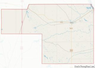
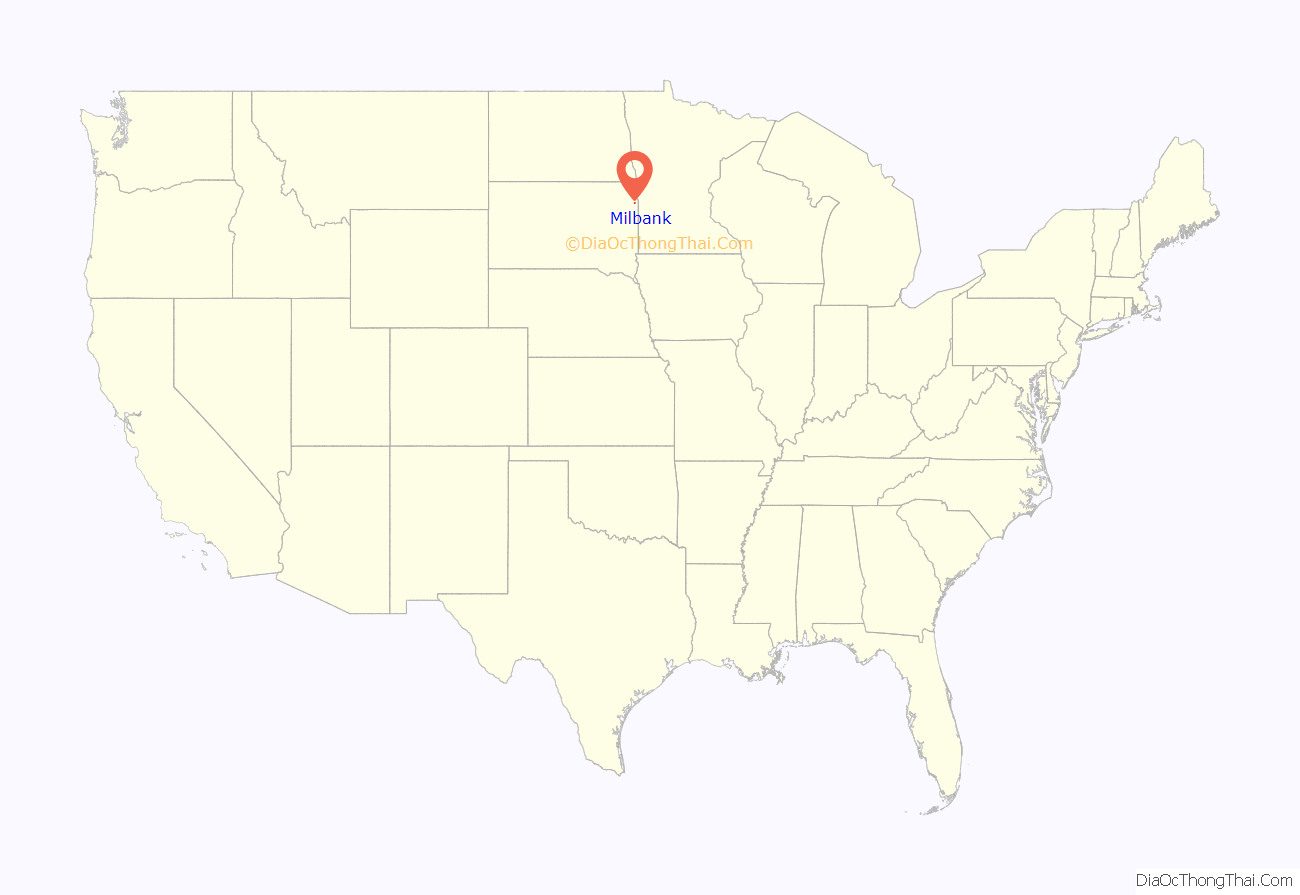
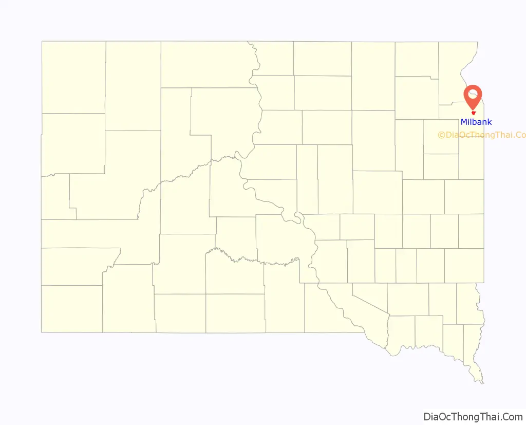
Milbank location map. Where is Milbank city?
History
The city was founded in 1880 when the Chicago, Milwaukee and St. Paul Railway first laid rails into South Dakota, and was named in honor of railroad director Jeremiah Milbank. The city was incorporated in 1881.
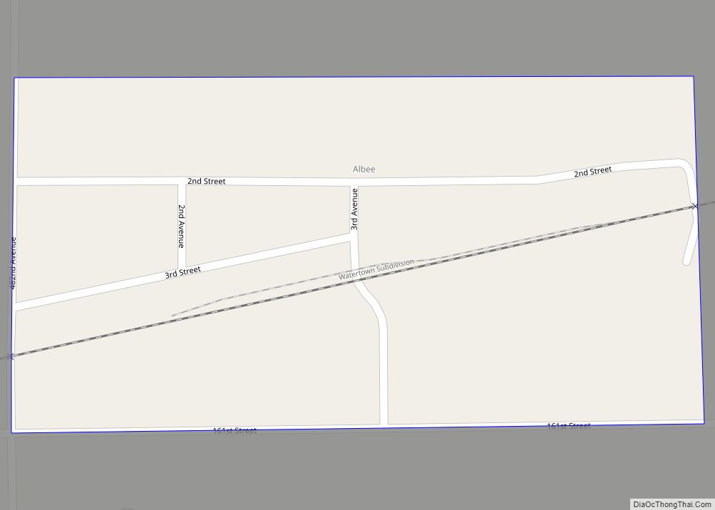
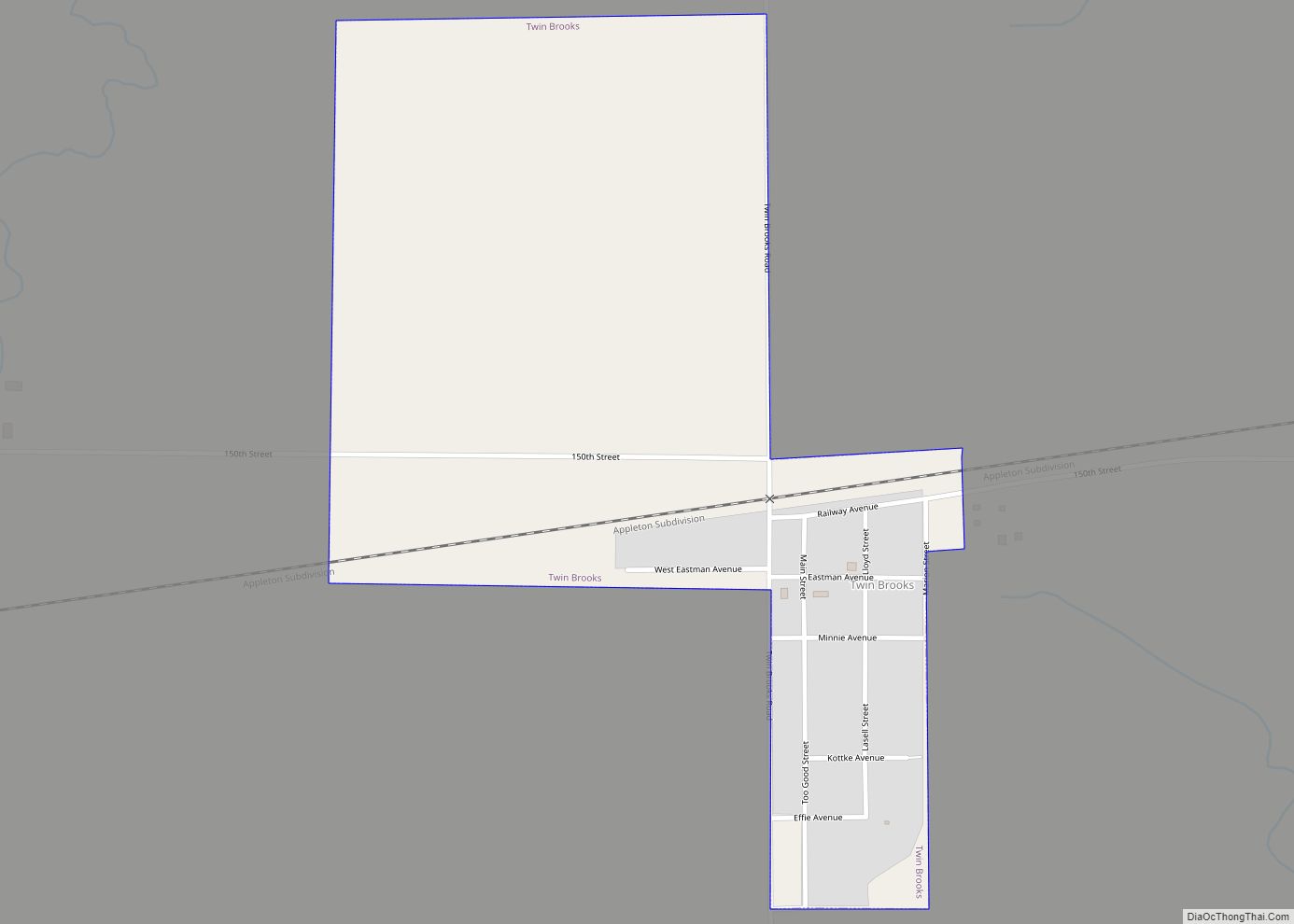
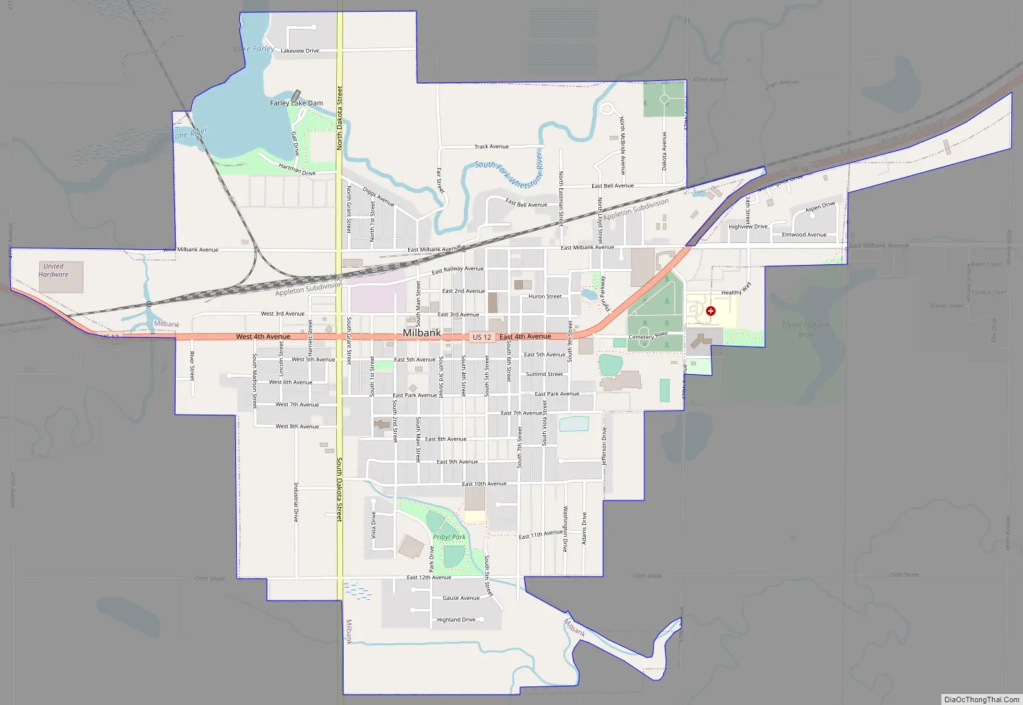
Milbank Road Map
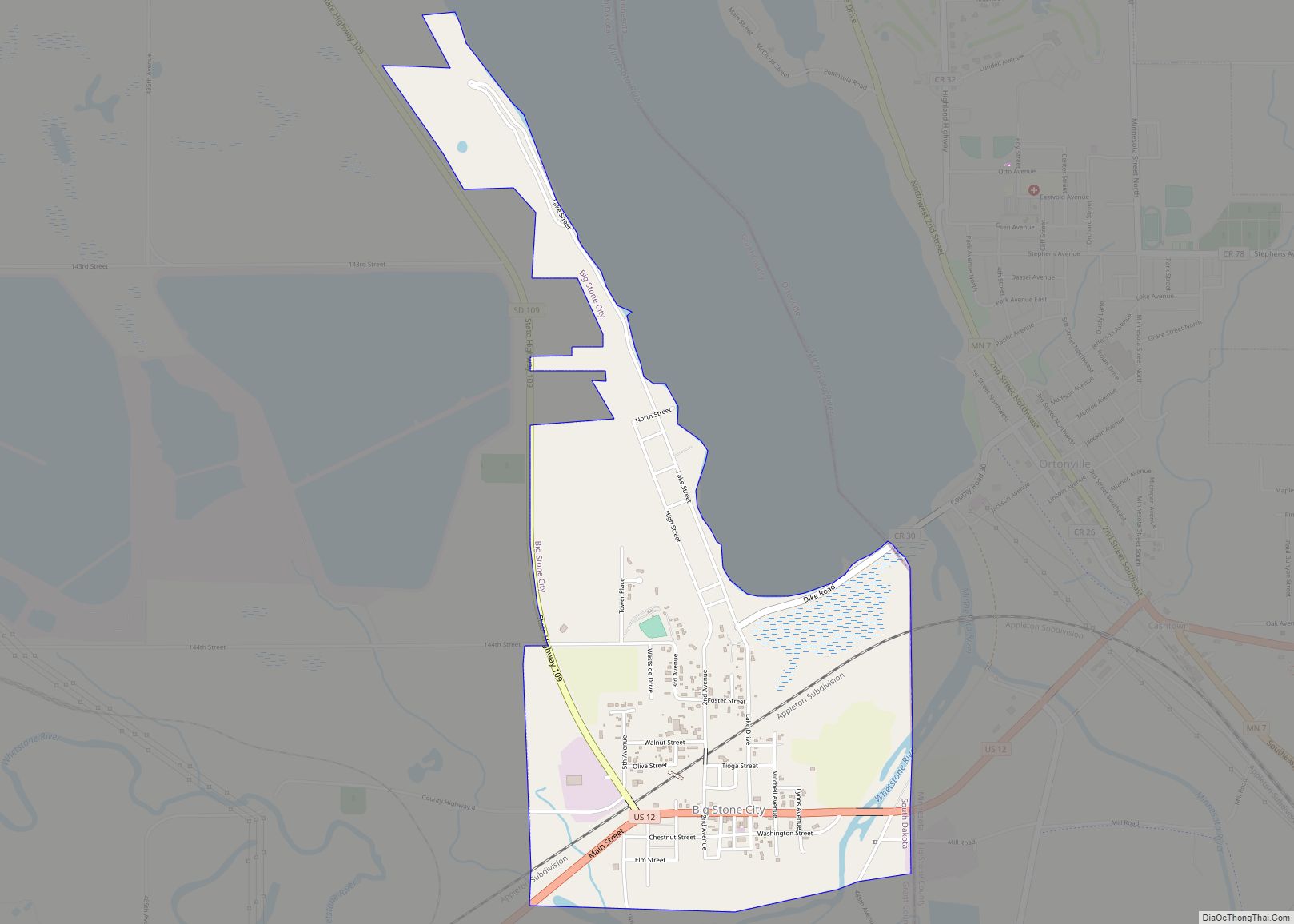
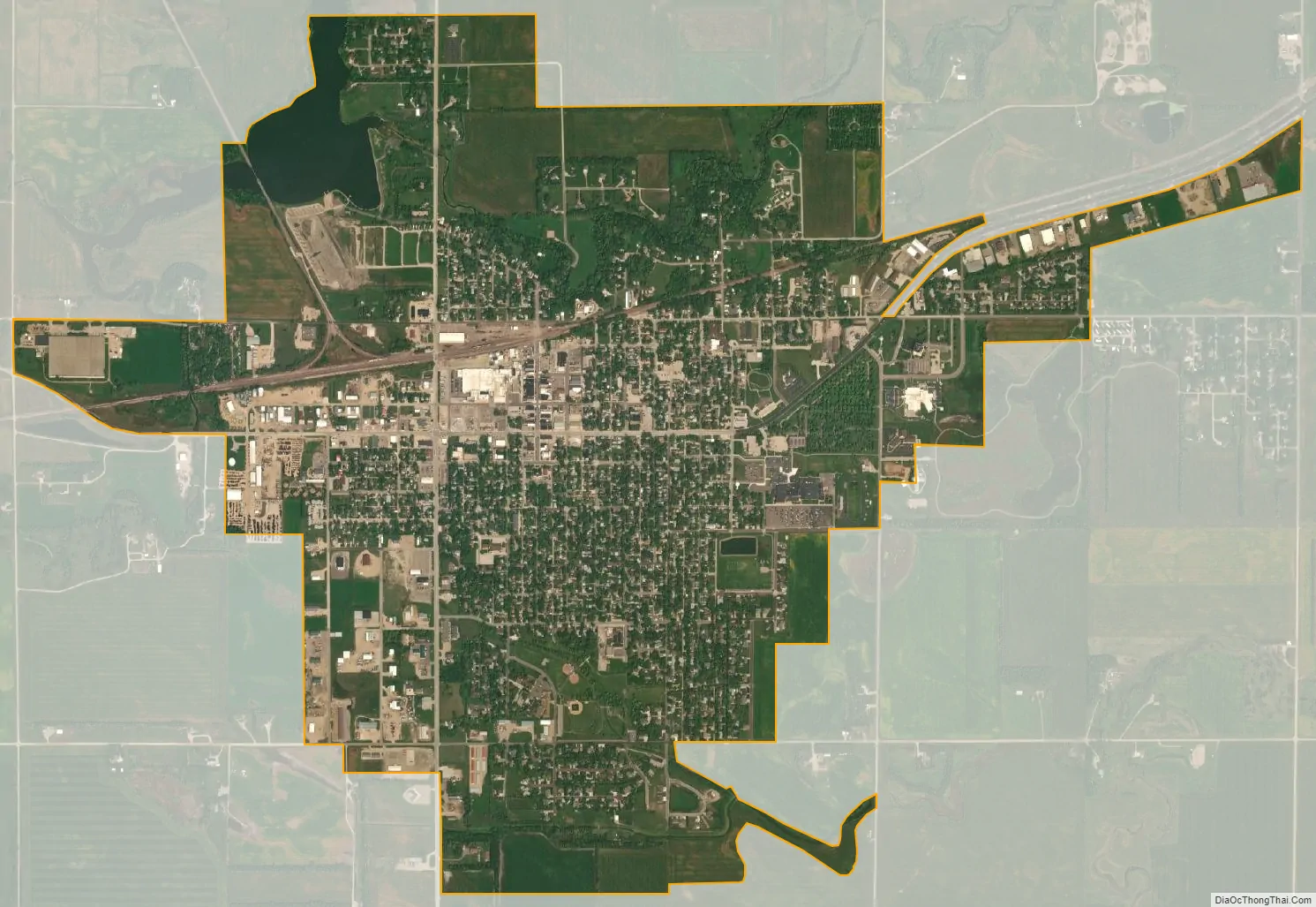
Milbank city Satellite Map
Geography
Milbank is located at 45°13′7″N 96°38′1″W / 45.21861°N 96.63361°W / 45.21861; -96.63361 (45.218583, -96.633721).
According to the United States Census Bureau, the city has a total area of 2.84 square miles (7.36 km), of which 2.76 square miles (7.15 km) is land and 0.08 square miles (0.21 km) is water.
Milbank has been assigned the ZIP code range 57252-57253 and the FIPS place code 42260.
See also
Map of South Dakota State and its subdivision:- Aurora
- Beadle
- Bennett
- Bon Homme
- Brookings
- Brown
- Brule
- Buffalo
- Butte
- Campbell
- Charles Mix
- Clark
- Clay
- Codington
- Corson
- Custer
- Davison
- Day
- Deuel
- Dewey
- Douglas
- Edmunds
- Fall River
- Faulk
- Grant
- Gregory
- Haakon
- Hamlin
- Hand
- Hanson
- Harding
- Hughes
- Hutchinson
- Hyde
- Jackson
- Jerauld
- Jones
- Kingsbury
- Lake
- Lawrence
- Lincoln
- Lyman
- Marshall
- McCook
- McPherson
- Meade
- Mellette
- Miner
- Minnehaha
- Moody
- Pennington
- Perkins
- Potter
- Roberts
- Sanborn
- Shannon
- Spink
- Stanley
- Sully
- Todd
- Tripp
- Turner
- Union
- Walworth
- Yankton
- Ziebach
- Alabama
- Alaska
- Arizona
- Arkansas
- California
- Colorado
- Connecticut
- Delaware
- District of Columbia
- Florida
- Georgia
- Hawaii
- Idaho
- Illinois
- Indiana
- Iowa
- Kansas
- Kentucky
- Louisiana
- Maine
- Maryland
- Massachusetts
- Michigan
- Minnesota
- Mississippi
- Missouri
- Montana
- Nebraska
- Nevada
- New Hampshire
- New Jersey
- New Mexico
- New York
- North Carolina
- North Dakota
- Ohio
- Oklahoma
- Oregon
- Pennsylvania
- Rhode Island
- South Carolina
- South Dakota
- Tennessee
- Texas
- Utah
- Vermont
- Virginia
- Washington
- West Virginia
- Wisconsin
- Wyoming