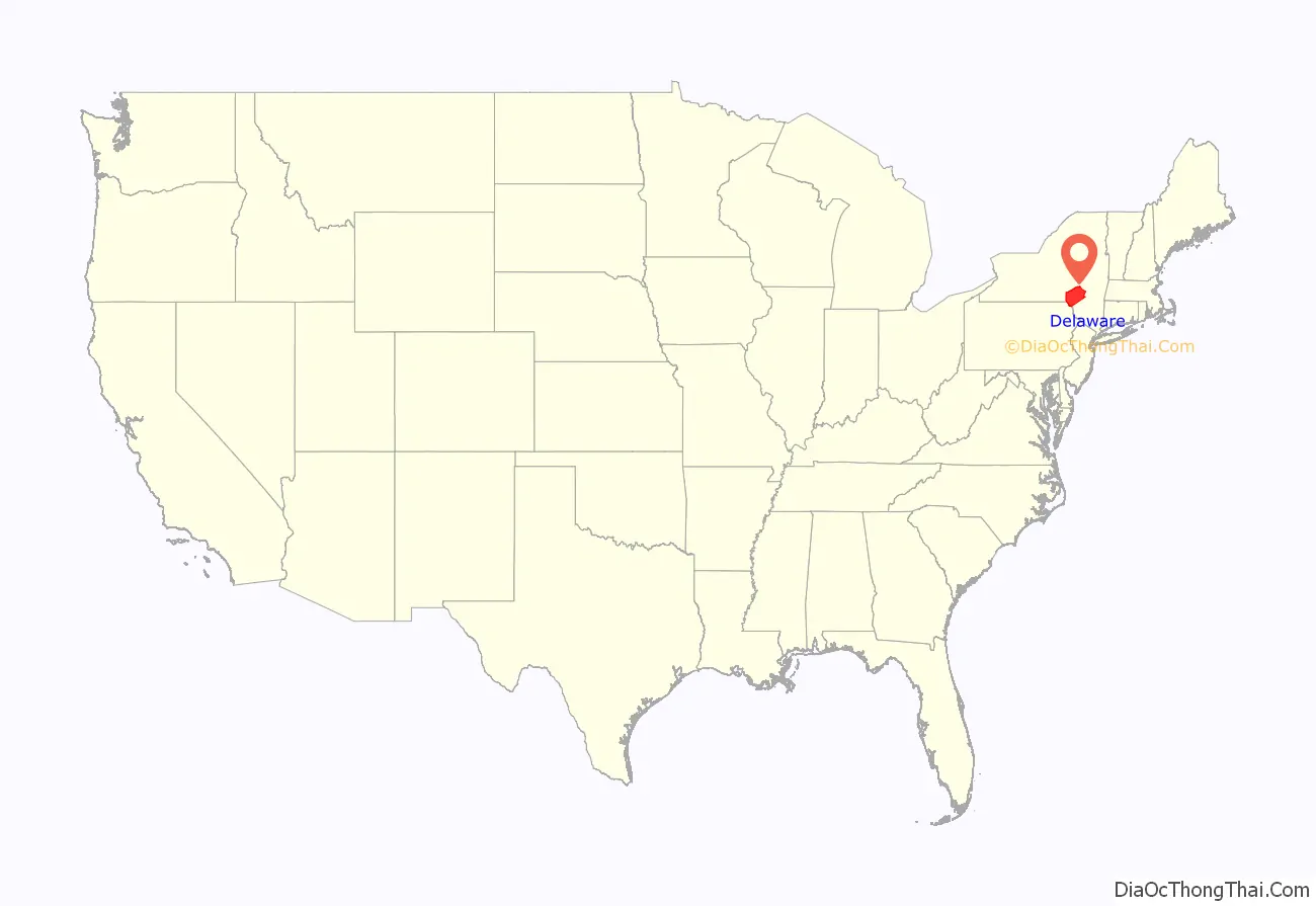
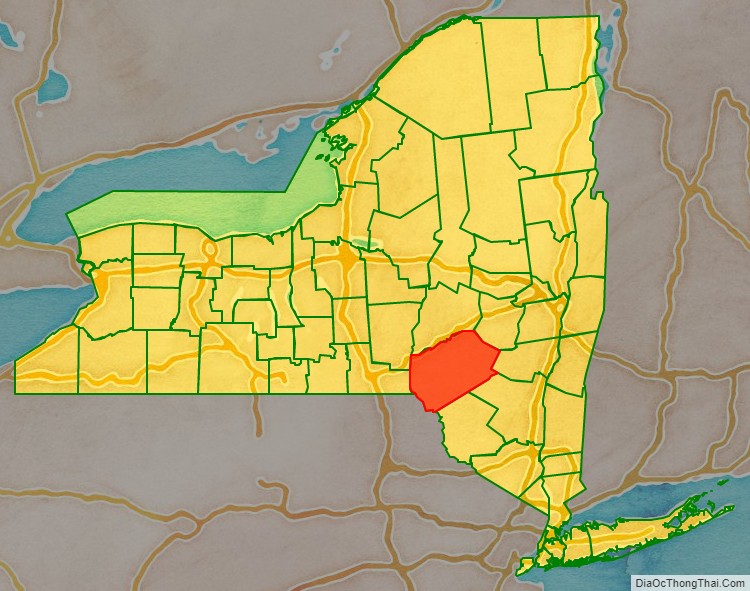
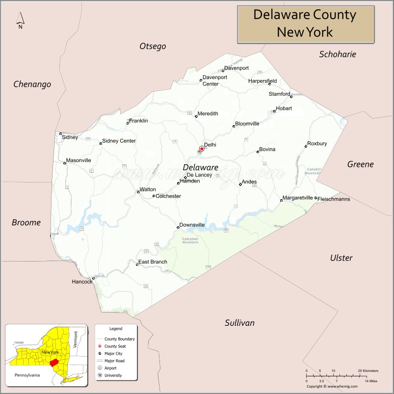
Delaware County is a county located in the US state of New York. As of the 2020 United States census, the population was 44,308. The county seat is Delhi. The county is named after the Delaware River, which was named in honor of Thomas West, 3rd Baron De La Warr, appointed governor of Virginia in 1609.
| Name: | Delaware County |
|---|---|
| FIPS code: | 36-025 |
| State: | New York |
| Founded: | 1797 |
| Named for: | Delaware River |
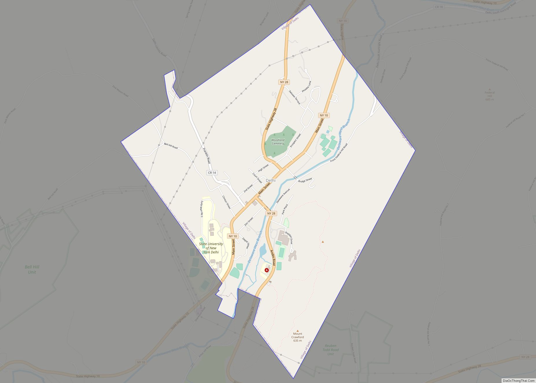
| Seat: | Delhi |
| Total Area: | 1,467 sq mi (3,800 km²) |
| Land Area: | 1,442 sq mi (3,730 km²) |
| Total Population: | 44,308 |
| Population Density: | 30.7/sq mi (11.9/km²) |
| Time zone: | UTC−5 (Eastern) |
| Summer Time Zone (DST): | UTC−4 (EDT) |
| Website: | www.co.delaware.ny.us |
Delaware County location map. Where is Delaware County?
History
When counties were established in New York State in 1683, the present area of Delaware County was divided between Albany and Ulster Counties.
Albany County was an enormous county, including the northern part of New York State as well as all of the present State of Vermont and, in theory, extending westward to the Pacific Ocean. This county was reduced in size on July 3, 1766, by the creation of Cumberland County, and further on March 16, 1770, by the creation of Gloucester County, both containing territory now in Vermont. On March 12, 1772, what was left of Albany County was split into three parts, one remaining under the name Albany County. One of the other pieces, Tryon County, contained the western portion (and thus, since no western boundary was specified, theoretically still extended west to the Pacific). The eastern boundary of Tryon County was approximately five miles west of the present city of Schenectady, and the county included the western part of the Adirondack Mountains and the area west of the West Branch of the Delaware River. The area then designated as Tryon County now includes 37 counties of New York State. The county was named for William Tryon, British colonial governor of New York.
In the years prior to 1776, most of the Loyalists in Tryon County fled to Canada. In 1784, following the peace treaty that ended the American Revolutionary War, the name of Tryon County was changed to Montgomery County to honor the general, Richard Montgomery, who had captured several places in Canada and died attempting to capture the city of Quebec, replacing the name of Tryon.
In 1789, Montgomery County was reduced in size by the splitting off of Ontario County. The actual area split off from Montgomery County was much larger than the present county, also including the present Allegany, Cattaraugus, Chautauqua, Erie, Genesee, Livingston, Monroe, Niagara, Orleans, Steuben, Wyoming, Yates, and part of Schuyler and Wayne Counties.
In 1791, Otsego was one of three counties that were split off from Montgomery (the other two being Herkimer and Tioga Counties).
Ulster County was an original county of New York State, considerably larger than the present Ulster County, and at the time that Delaware County was created it still contained most of its original area.
Delaware County was formed in 1797 by combining portions of Otsego and Ulster counties.
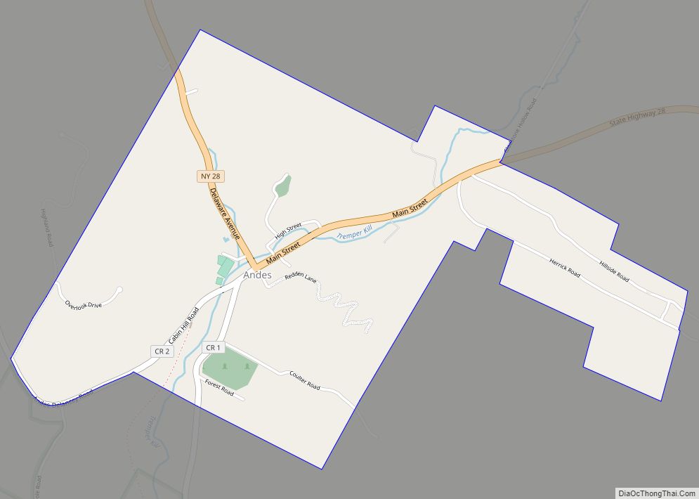
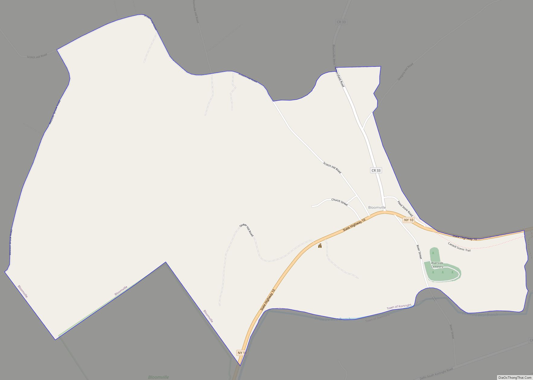
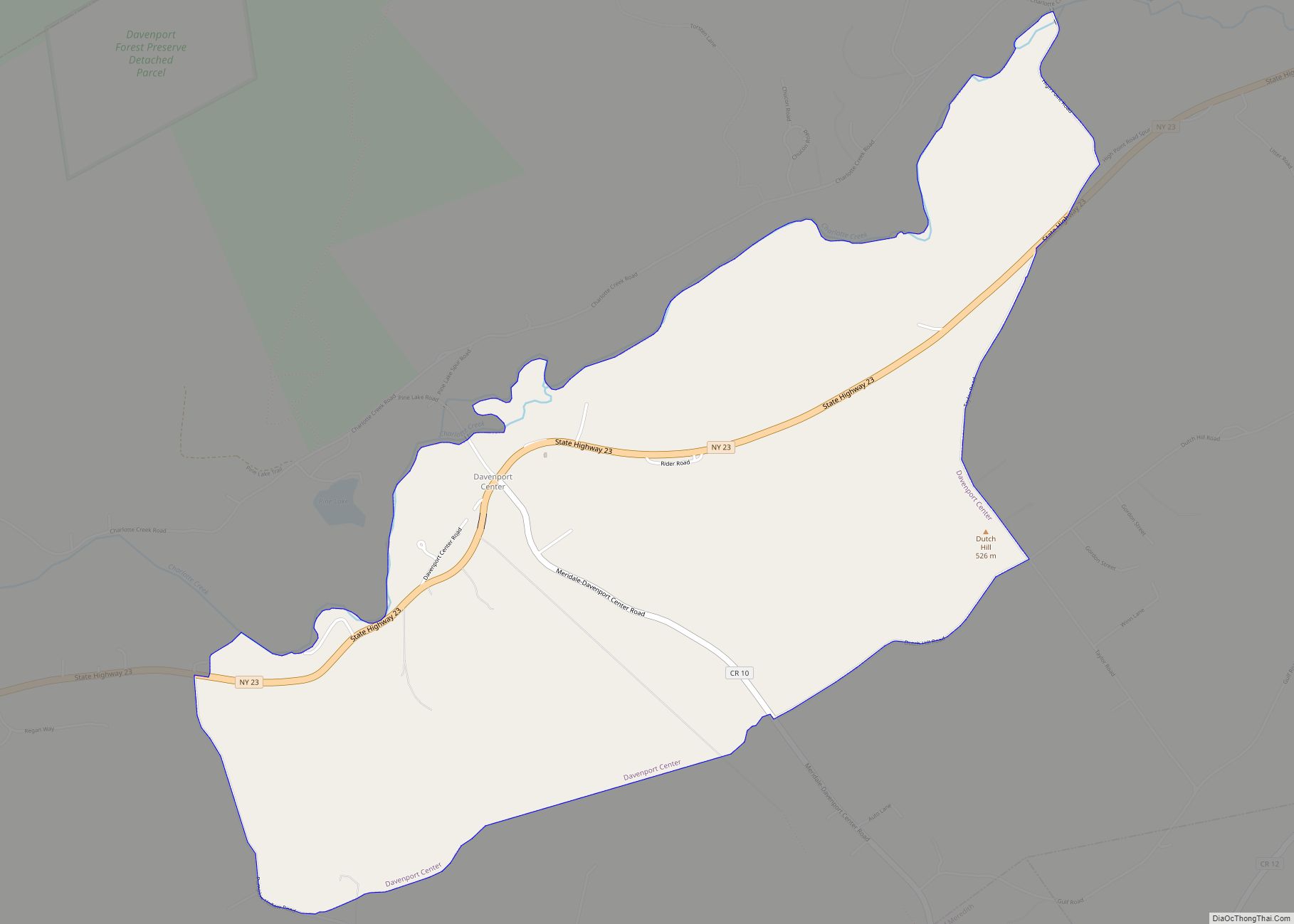
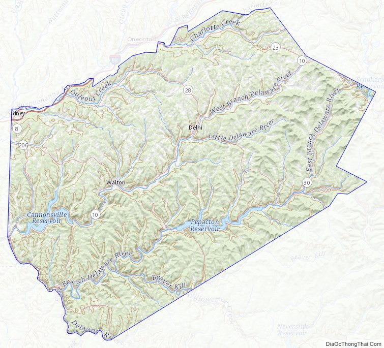
Delaware County Road Map
Geography
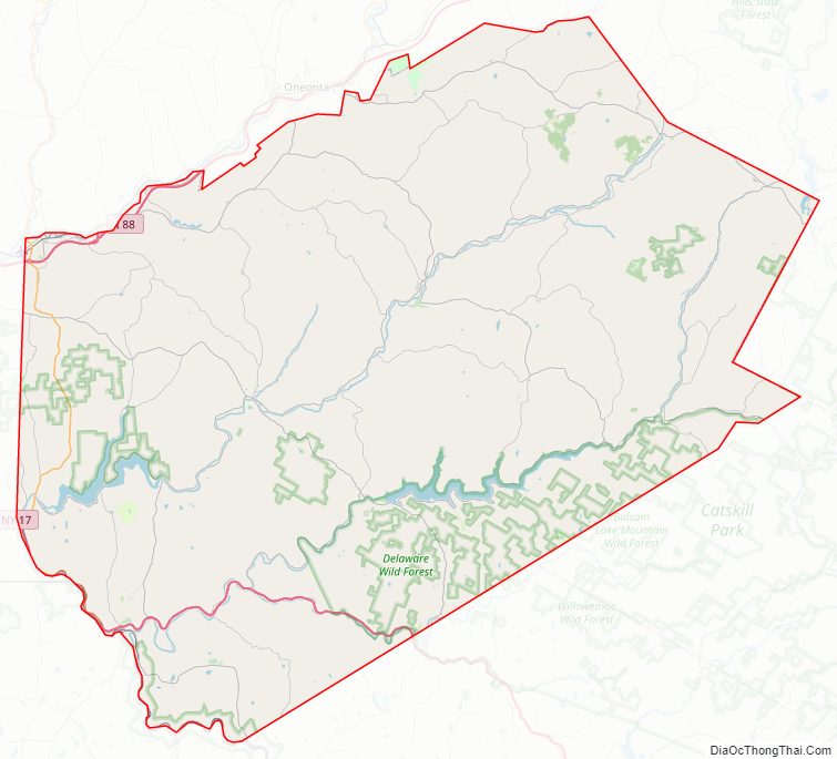
According to the U.S. Census Bureau, the county has a total area of 1,467 square miles (3,800 km), of which 1,442 square miles (3,730 km) is land and 25 square miles (65 km) (1.7%) is water. It is the fifth-largest county in New York by land area.
Delaware County is located in the southern part of the state, separated from the state of Pennsylvania by the Delaware River. It is east of Binghamton and southwest of Albany. The county contains part of the Catskill Mountains. The county is within a region called the Southern Tier of New York State.
The highest point is an approximately 3,520-foot (1,073 m) summit of Bearpen Mountain along the Greene County line. The lowest point is along the Delaware River. The county is drained by the headwaters of the Delaware. It has a hilly surface, and the soil in the valleys is exceedingly fertile. The Delaware and Susquehanna rivers are here navigable by boats.
Adjacent counties
- Otsego County – north
- Schoharie County – northeast
- Greene County – east
- Ulster County – southeast
- Sullivan County – south
- Wayne County, Pennsylvania – southwest
- Broome County – west
- Chenango County – northwest
National protected area
- Upper Delaware Scenic and Recreational River, (part)
Delaware County Topographic Map
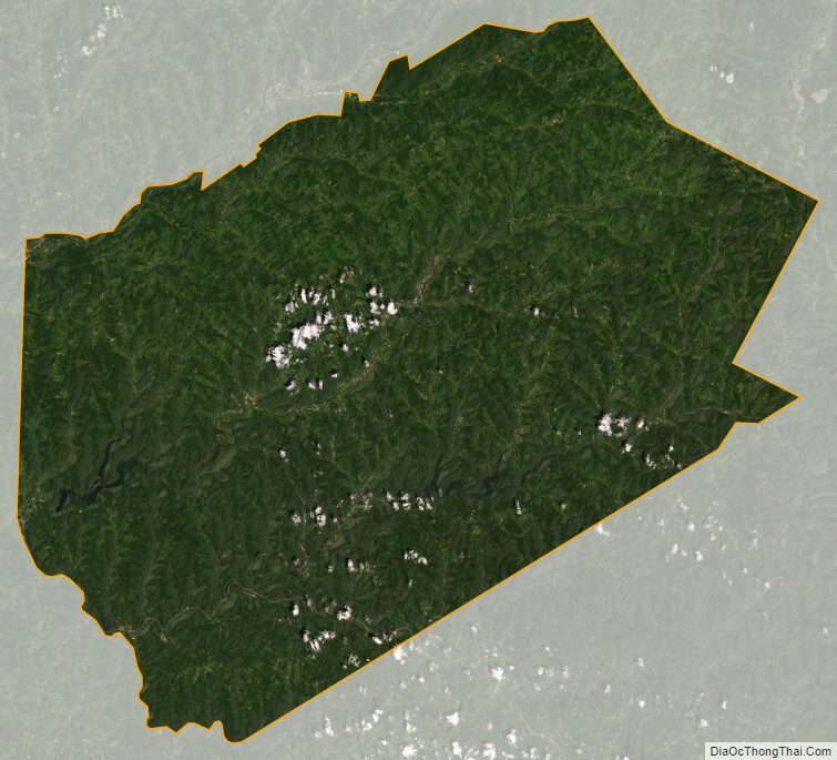
Delaware County Satellite Map
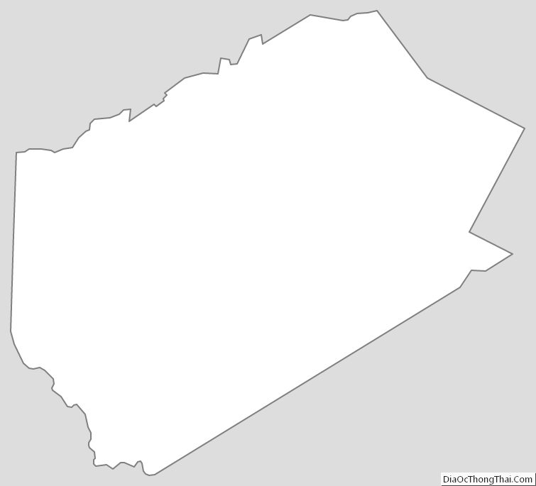
Delaware County Outline Map