Catskill is a village and county seat of Greene County, New York, United States. The population was 4,081 at the 2010 census, down from 4,392 in 2000. The village is in the northeastern part of the town of Catskill.
| Name: | Catskill village |
|---|---|
| LSAD Code: | 47 |
| LSAD Description: | village (suffix) |
| State: | New York |
| County: | Greene County |
| Elevation: | 43 ft (13 m) |
| Total Area: | 2.86 sq mi (7.40 km²) |
| Land Area: | 2.28 sq mi (5.90 km²) |
| Water Area: | 0.58 sq mi (1.50 km²) |
| Total Population: | 3,745 |
| Population Density: | 1,642.54/sq mi (634.31/km²) |
| ZIP code: | 12414 |
| Area code: | 518 |
| FIPS code: | 3613002 |
| GNISfeature ID: | 0946061 |
| Website: | www.villageofcatskill.net |
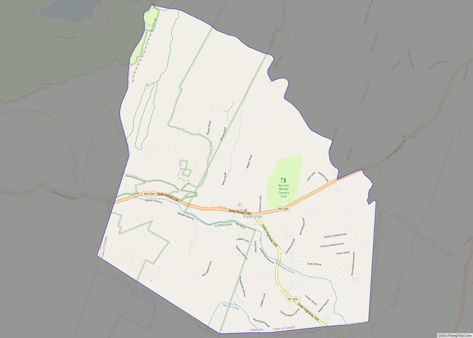
Online Interactive Map
Click on ![]() to view map in "full screen" mode.
to view map in "full screen" mode.
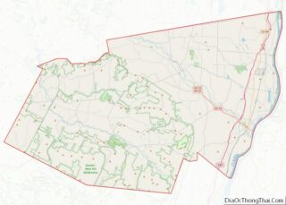
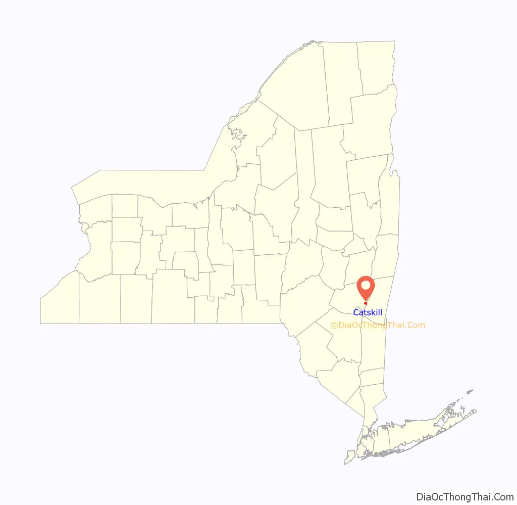
Catskill location map. Where is Catskill village?

History
Most of the village land was purchased from the natives in 1684. At the end of the American Revolution there were only ten houses in the community.
The village was incorporated in 1806. Catskill is one of only twelve villages in New York still incorporated under a charter, the other villages having been incorporated or reincorporated under the provisions of state village law.
Martin van Buren was married in the village. John Adams, congressman from New York, died here.
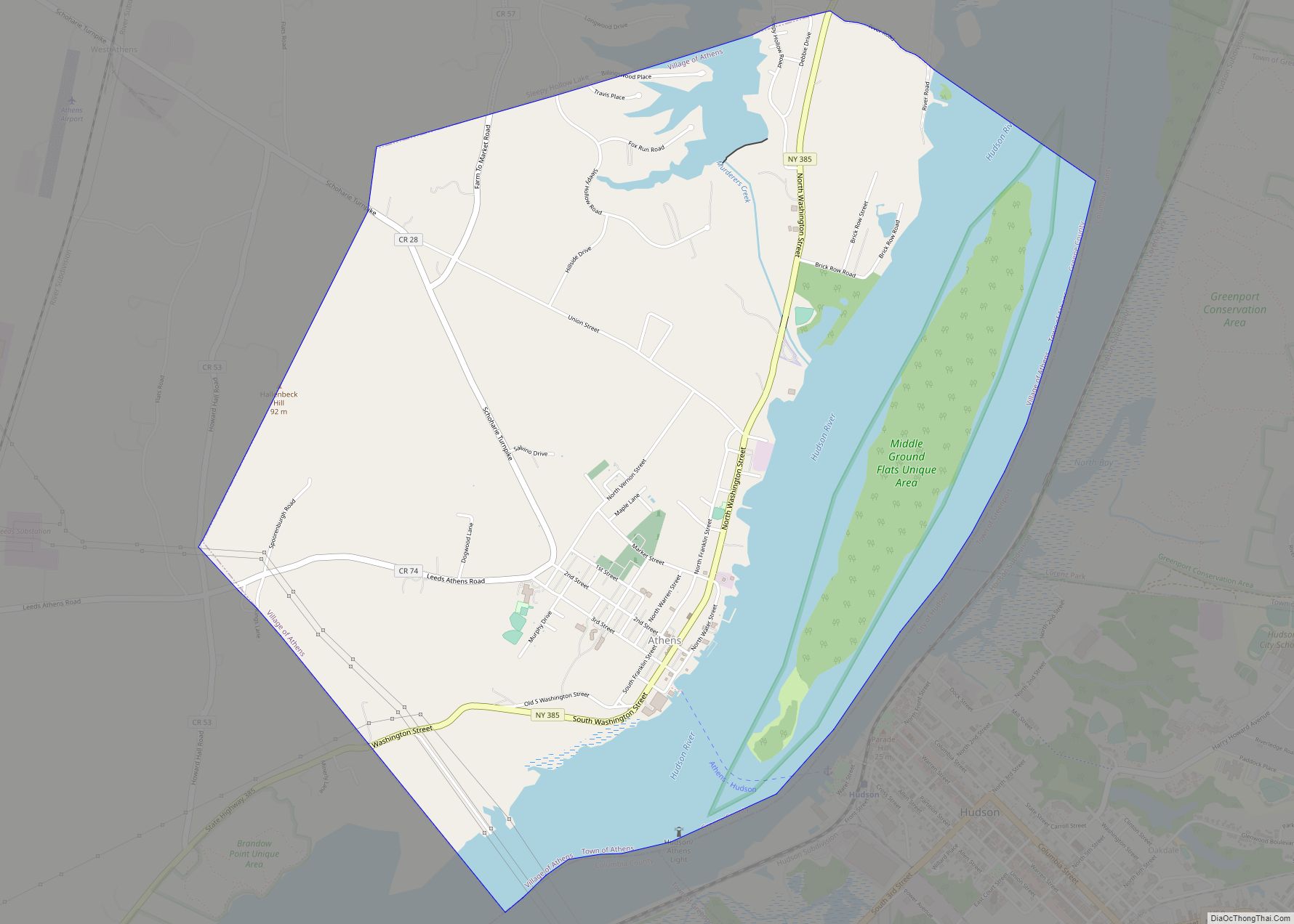
Catskill Road Map

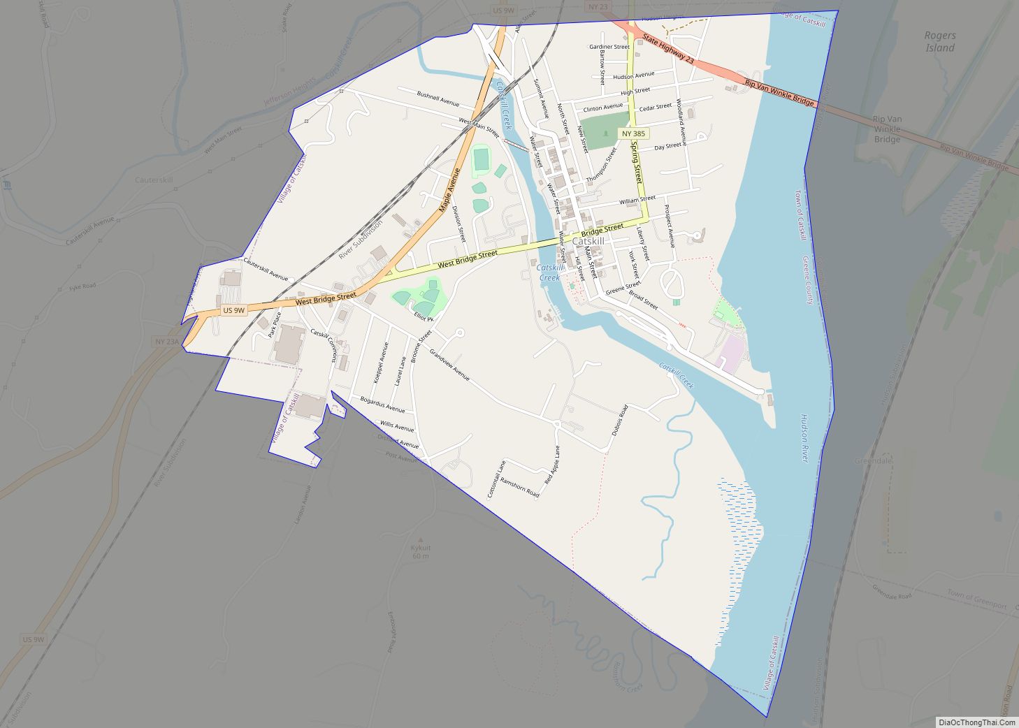
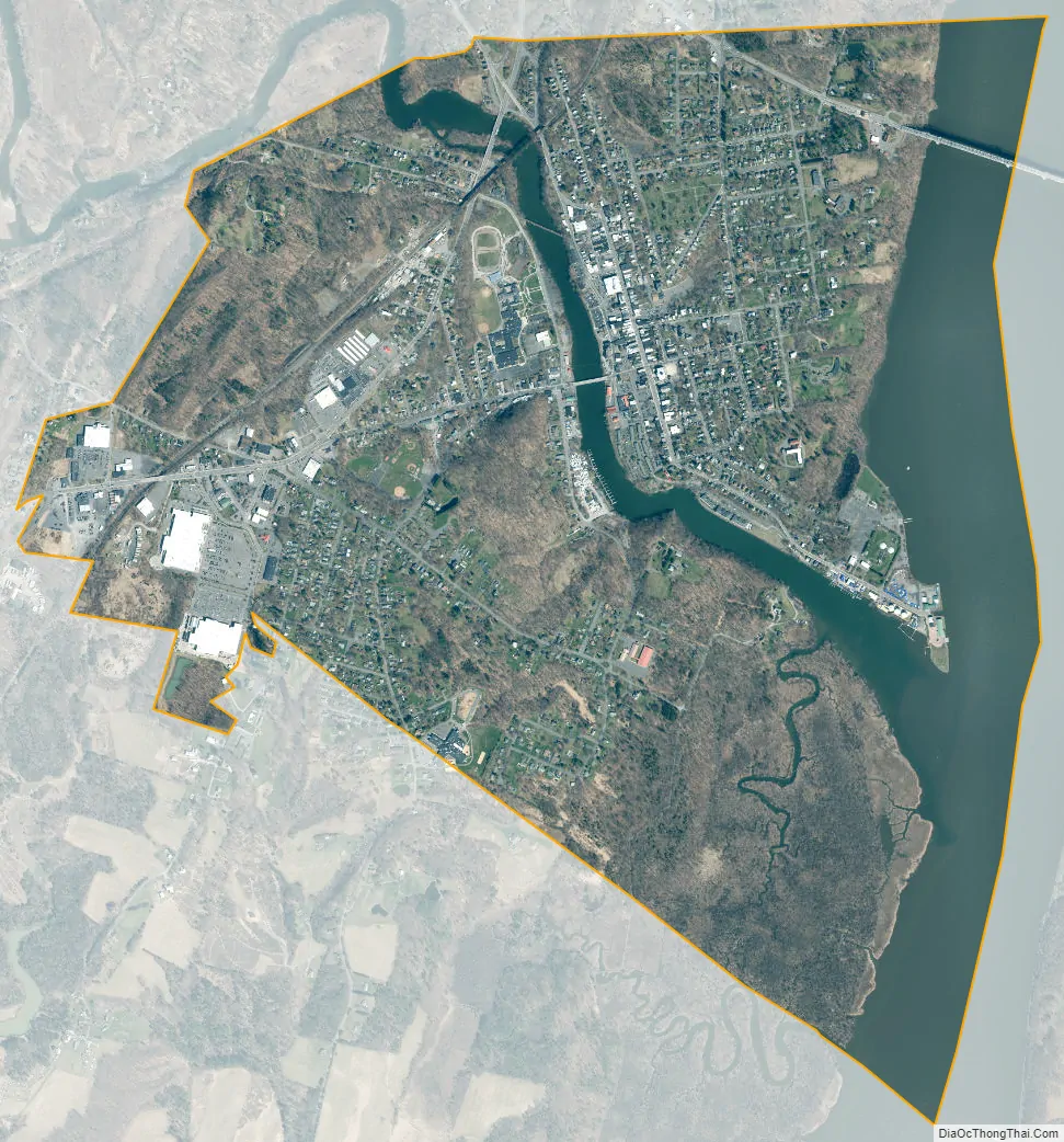
Catskill city Satellite Map
Geography
Catskill is located in eastern Greene County at 42°13′N 73°52′W (42.2187, -73.8668), in the northeastern part of the town of Catskill. The village is on the west side of the Hudson River, where Catskill Creek joins it.
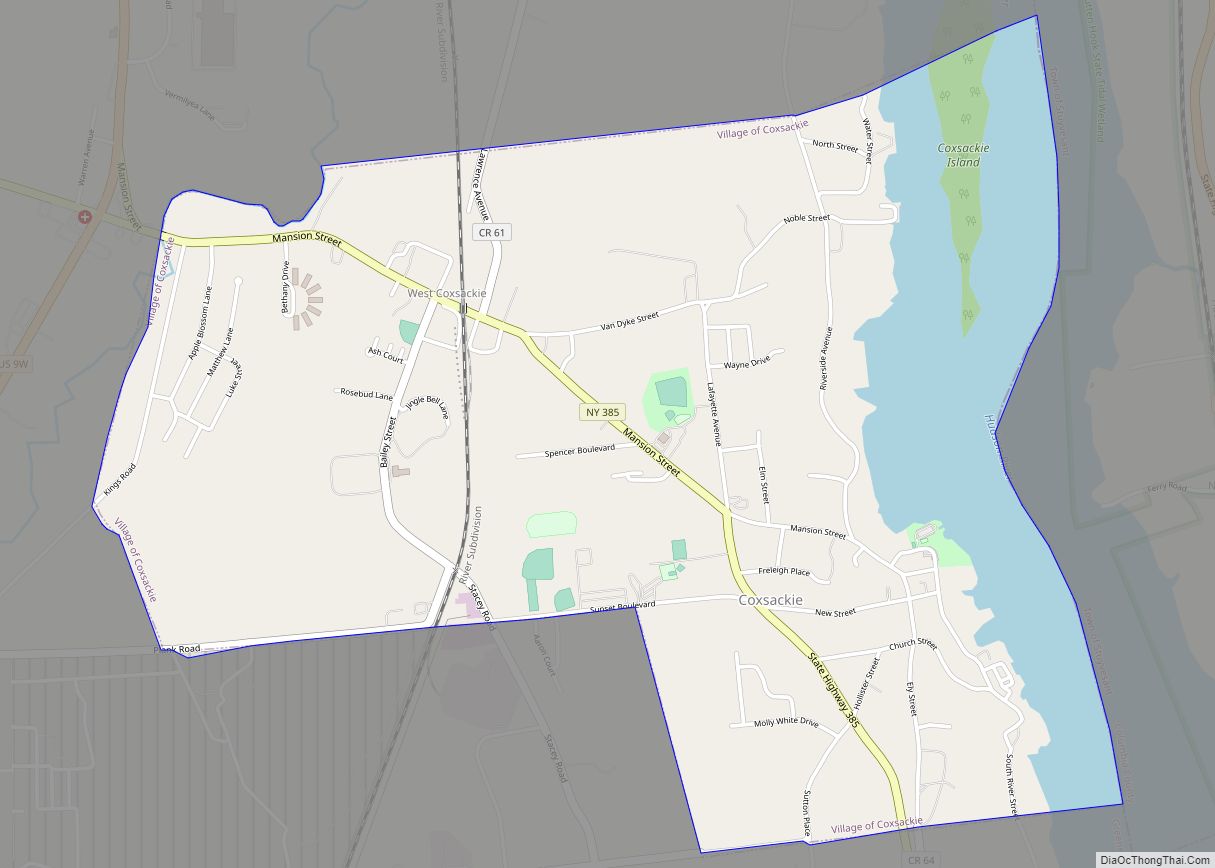
New York State Route 385 passes through the center of the village as Bridge Street and Spring Street, ending in the western part of the village at an intersection with U.S. Route 9W. Route 385 crosses Route 23 at the northern border of the village and continues northeast 4 miles (6 km) to Athens and 10 miles (16 km) to Coxsackie. US 9W passes through the western part of Catskill village as Maple Avenue, leading north 17 miles (27 km) to Ravena and south 11 miles (18 km) to Saugerties. NY Route 23 crosses the northern corner of Catskill village, crossing the Hudson on the Rip Van Winkle Bridge into the town of Greenport, and leading west 2 miles (3 km) to Interstate 87 (the New York State Thruway) at Exit 21.
According to the United States Census Bureau, the village has a total area of 2.9 square miles (7.4 km), of which 2.3 square miles (5.9 km) is land and 0.58 square miles (1.5 km), or 20.26%, is water.
See also
Map of New York State and its subdivision:- Albany
- Allegany
- Bronx
- Broome
- Cattaraugus
- Cayuga
- Chautauqua
- Chemung
- Chenango
- Clinton
- Columbia
- Cortland
- Delaware
- Dutchess
- Erie
- Essex
- Franklin
- Fulton
- Genesee
- Greene
- Hamilton
- Herkimer
- Jefferson
- Kings
- Lake Ontario
- Lewis
- Livingston
- Madison
- Monroe
- Montgomery
- Nassau
- New York
- Niagara
- Oneida
- Onondaga
- Ontario
- Orange
- Orleans
- Oswego
- Otsego
- Putnam
- Queens
- Rensselaer
- Richmond
- Rockland
- Saint Lawrence
- Saratoga
- Schenectady
- Schoharie
- Schuyler
- Seneca
- Steuben
- Suffolk
- Sullivan
- Tioga
- Tompkins
- Ulster
- Warren
- Washington
- Wayne
- Westchester
- Wyoming
- Yates
- Alabama
- Alaska
- Arizona
- Arkansas
- California
- Colorado
- Connecticut
- Delaware
- District of Columbia
- Florida
- Georgia
- Hawaii
- Idaho
- Illinois
- Indiana
- Iowa
- Kansas
- Kentucky
- Louisiana
- Maine
- Maryland
- Massachusetts
- Michigan
- Minnesota
- Mississippi
- Missouri
- Montana
- Nebraska
- Nevada
- New Hampshire
- New Jersey
- New Mexico
- New York
- North Carolina
- North Dakota
- Ohio
- Oklahoma
- Oregon
- Pennsylvania
- Rhode Island
- South Carolina
- South Dakota
- Tennessee
- Texas
- Utah
- Vermont
- Virginia
- Washington
- West Virginia
- Wisconsin
- Wyoming