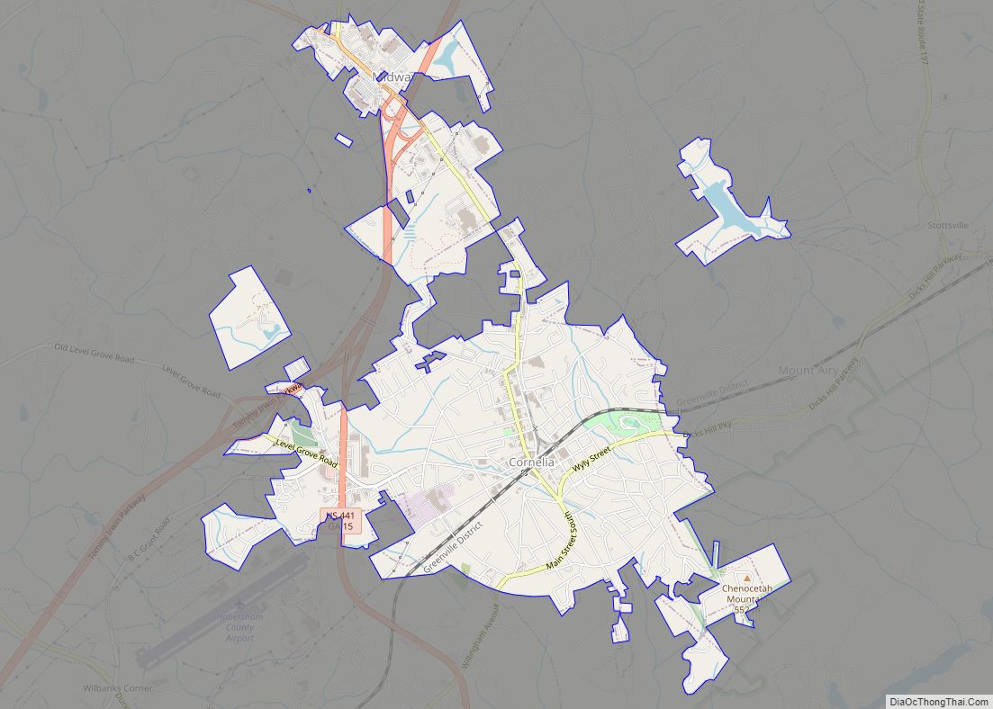
Cornelia is a city in Habersham County, Georgia, United States. The population was 4,160 at the 2010 census, up from 3,674 at the 2000 census. It is home to one of the world’s largest apple sculptures, which is displayed on top of an obelisk-shaped monument. Cornelia was the retirement home of baseball legend Ty Cobb who was born nearby, and was a base of operation for production of the 1956 Disney film The Great Locomotive Chase that was filmed along the Tallulah Falls Railway that ran from Cornelia northward along the rim of Tallulah Gorge to Franklin, North Carolina.
| Name: | Cornelia city |
|---|---|
| LSAD Code: | 25 |
| LSAD Description: | city (suffix) |
| State: | Georgia |
| County: | Habersham County |
| Elevation: | 1,486 ft (453 m) |
| Total Area: | 4.20 sq mi (10.87 km²) |
| Land Area: | 4.15 sq mi (10.75 km²) |
| Water Area: | 0.05 sq mi (0.12 km²) |
| Total Population: | 4,503 |
| Population Density: | 1,085.06/sq mi (418.95/km²) |
| ZIP code: | 30531 |
| Area code: | 706 |
| FIPS code: | 1319728 |
| GNISfeature ID: | 2404133 |
| Website: | corneliageorgia.org |
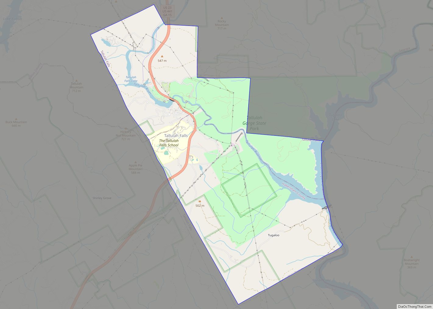
Online Interactive Map
Click on ![]() to view map in "full screen" mode.
to view map in "full screen" mode.
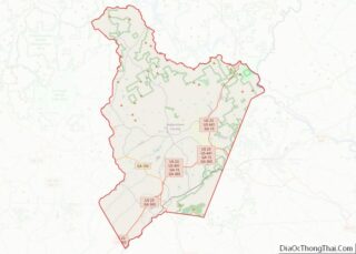
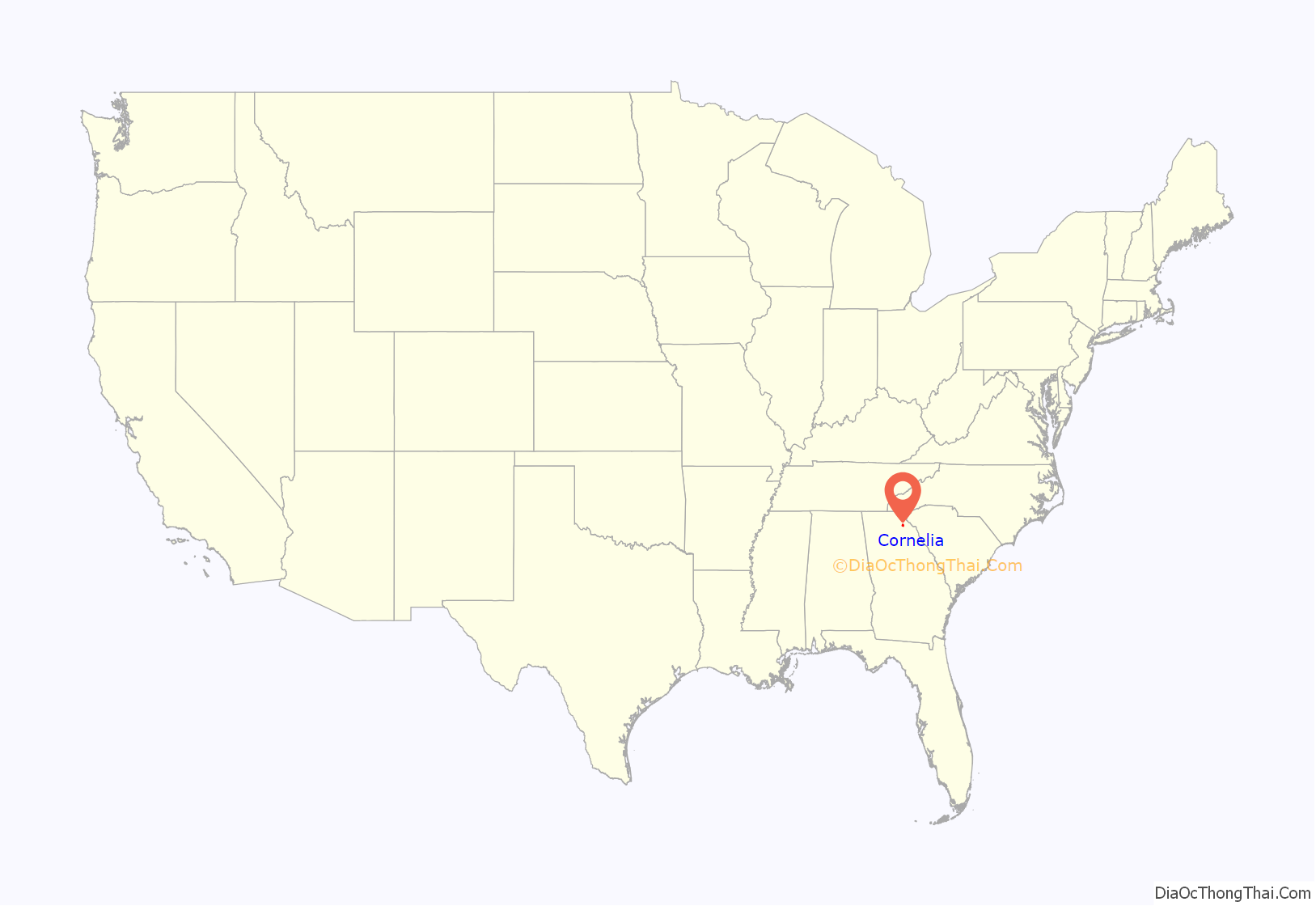
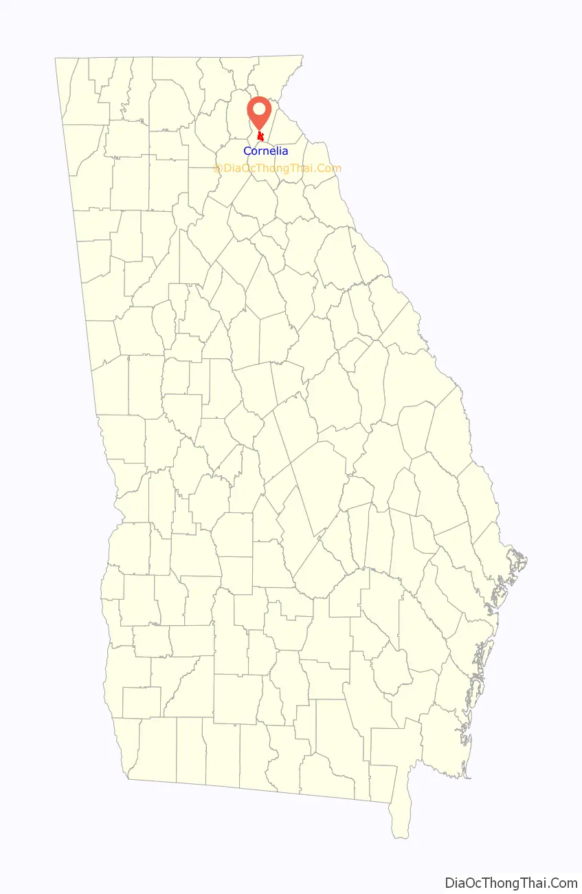
Cornelia location map. Where is Cornelia city?
History
Cornelia was originally called “Blaine”, and under the latter name had its start in the early 1870s when the Charlotte Airline Railroad was extended to that point. The Georgia General Assembly incorporated the place in 1887 as the “Town of Cornelia”.
Lore
Cornelia abounds in historical lore. Near the city is the Wofford Trail, on which many stagecoach robberies occurred. The last railroad holdup in Georgia took place at Cagle’s Crossing, which is a few miles south of Cornelia. The whole of Habersham County was extremely loyal to the Confederacy and was known, along with the Shenandoah Valley of Virginia and countless other fertile, out-of-the-way places as the “breadbasket of the Confederacy”, as thousands of bushels of wheat and corn were supplied to the troops from this area alone. After the Fall of Atlanta, a detachment of William Tecumseh Sherman’s cavalry was sent to raid the county; but the Confederate Home Guard, made up of men too old for military duty, left the mountains on which Cornelia is situated and met the Union soldiers at a narrow pass about four miles east of the town. By making considerable noise and stirring up clouds of smoke, they scared off the Union soldiers and saved the area from complete devastation. Today this skirmish is remembered as “The Battle of the Narrows”.
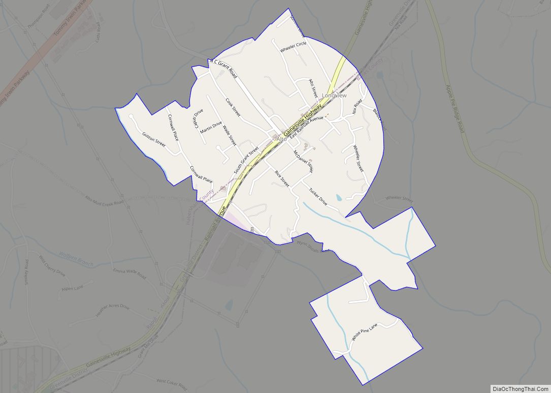
Cornelia Road Map
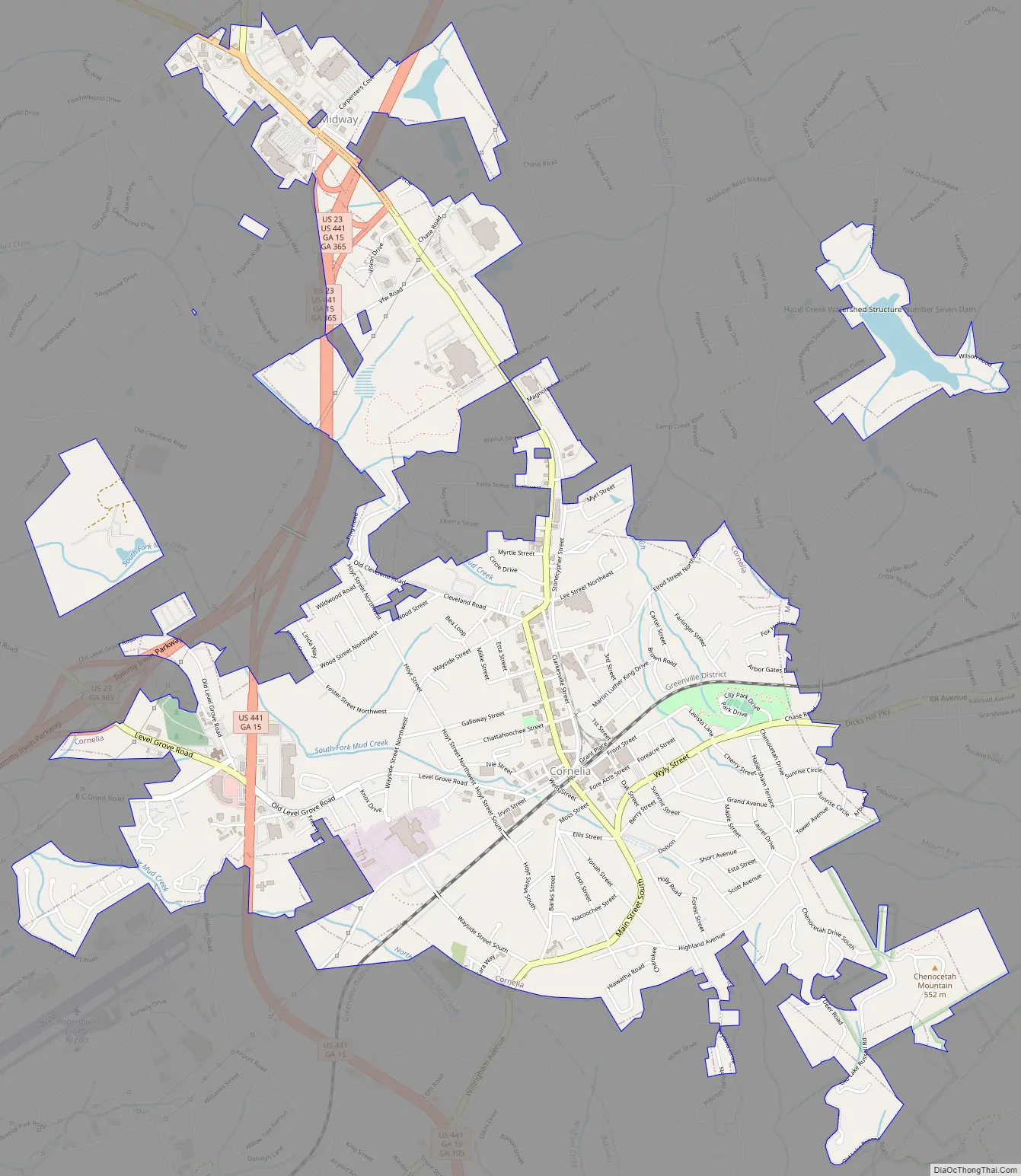
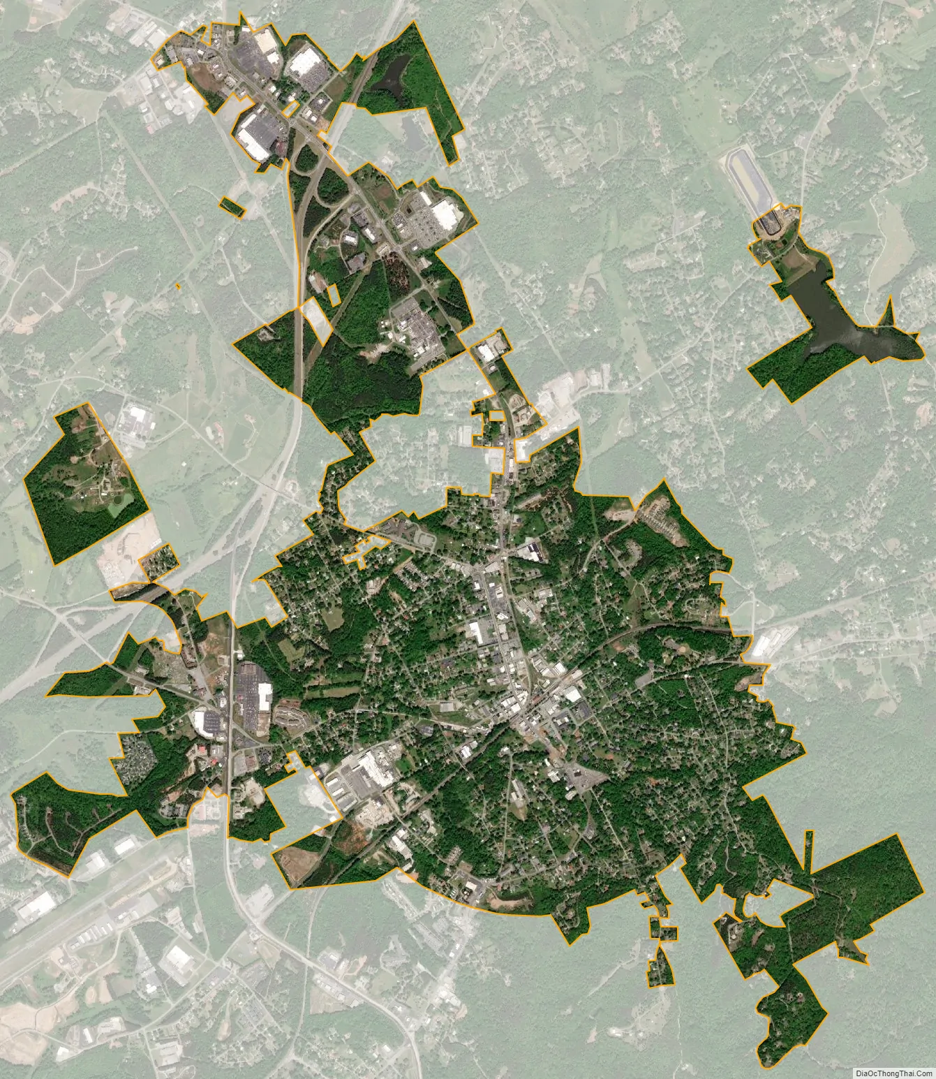
Cornelia city Satellite Map
Geography
Cornelia is located in southern Habersham County and is bordered to the east by Mount Airy and to the southwest by Baldwin.
According to the United States Census Bureau, the city has a total area of 4.0 square miles (10.3 km), of which 0.04 square miles (0.1 km), or 1.06%, are water.
Climate
See also
Map of Georgia State and its subdivision:- Appling
- Atkinson
- Bacon
- Baker
- Baldwin
- Banks
- Barrow
- Bartow
- Ben Hill
- Berrien
- Bibb
- Bleckley
- Brantley
- Brooks
- Bryan
- Bulloch
- Burke
- Butts
- Calhoun
- Camden
- Candler
- Carroll
- Catoosa
- Charlton
- Chatham
- Chattahoochee
- Chattooga
- Cherokee
- Clarke
- Clay
- Clayton
- Clinch
- Cobb
- Coffee
- Colquitt
- Columbia
- Cook
- Coweta
- Crawford
- Crisp
- Dade
- Dawson
- Decatur
- DeKalb
- Dodge
- Dooly
- Dougherty
- Douglas
- Early
- Echols
- Effingham
- Elbert
- Emanuel
- Evans
- Fannin
- Fayette
- Floyd
- Forsyth
- Franklin
- Fulton
- Gilmer
- Glascock
- Glynn
- Gordon
- Grady
- Greene
- Gwinnett
- Habersham
- Hall
- Hancock
- Haralson
- Harris
- Hart
- Heard
- Henry
- Houston
- Irwin
- Jackson
- Jasper
- Jeff Davis
- Jefferson
- Jenkins
- Johnson
- Jones
- Lamar
- Lanier
- Laurens
- Lee
- Liberty
- Lincoln
- Long
- Lowndes
- Lumpkin
- Macon
- Madison
- Marion
- McDuffie
- McIntosh
- Meriwether
- Miller
- Mitchell
- Monroe
- Montgomery
- Morgan
- Murray
- Muscogee
- Newton
- Oconee
- Oglethorpe
- Paulding
- Peach
- Pickens
- Pierce
- Pike
- Polk
- Pulaski
- Putnam
- Quitman
- Rabun
- Randolph
- Richmond
- Rockdale
- Schley
- Screven
- Seminole
- Spalding
- Stephens
- Stewart
- Sumter
- Talbot
- Taliaferro
- Tattnall
- Taylor
- Telfair
- Terrell
- Thomas
- Tift
- Toombs
- Towns
- Treutlen
- Troup
- Turner
- Twiggs
- Union
- Upson
- Walker
- Walton
- Ware
- Warren
- Washington
- Wayne
- Webster
- Wheeler
- White
- Whitfield
- Wilcox
- Wilkes
- Wilkinson
- Worth
- Alabama
- Alaska
- Arizona
- Arkansas
- California
- Colorado
- Connecticut
- Delaware
- District of Columbia
- Florida
- Georgia
- Hawaii
- Idaho
- Illinois
- Indiana
- Iowa
- Kansas
- Kentucky
- Louisiana
- Maine
- Maryland
- Massachusetts
- Michigan
- Minnesota
- Mississippi
- Missouri
- Montana
- Nebraska
- Nevada
- New Hampshire
- New Jersey
- New Mexico
- New York
- North Carolina
- North Dakota
- Ohio
- Oklahoma
- Oregon
- Pennsylvania
- Rhode Island
- South Carolina
- South Dakota
- Tennessee
- Texas
- Utah
- Vermont
- Virginia
- Washington
- West Virginia
- Wisconsin
- Wyoming