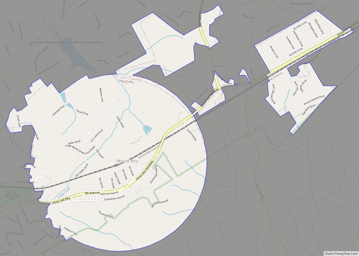
Mount Airy is a town in Habersham County, Georgia, United States. The population was 1,284 at the 2010 census, up from 604 at the 2000 census.
| Name: | Mount Airy town |
|---|---|
| LSAD Code: | 43 |
| LSAD Description: | town (suffix) |
| State: | Georgia |
| County: | Habersham County |
| Elevation: | 1,453 ft (443 m) |
| Total Area: | 2.42 sq mi (6.28 km²) |
| Land Area: | 2.42 sq mi (6.26 km²) |
| Water Area: | 0.01 sq mi (0.02 km²) |
| Total Population: | 1,391 |
| Population Density: | 575.98/sq mi (222.37/km²) |
| ZIP code: | 30563 |
| Area code: | 706 |
| FIPS code: | 1353284 |
| GNISfeature ID: | 2406203 |
| Website: | townofmtairy.com |
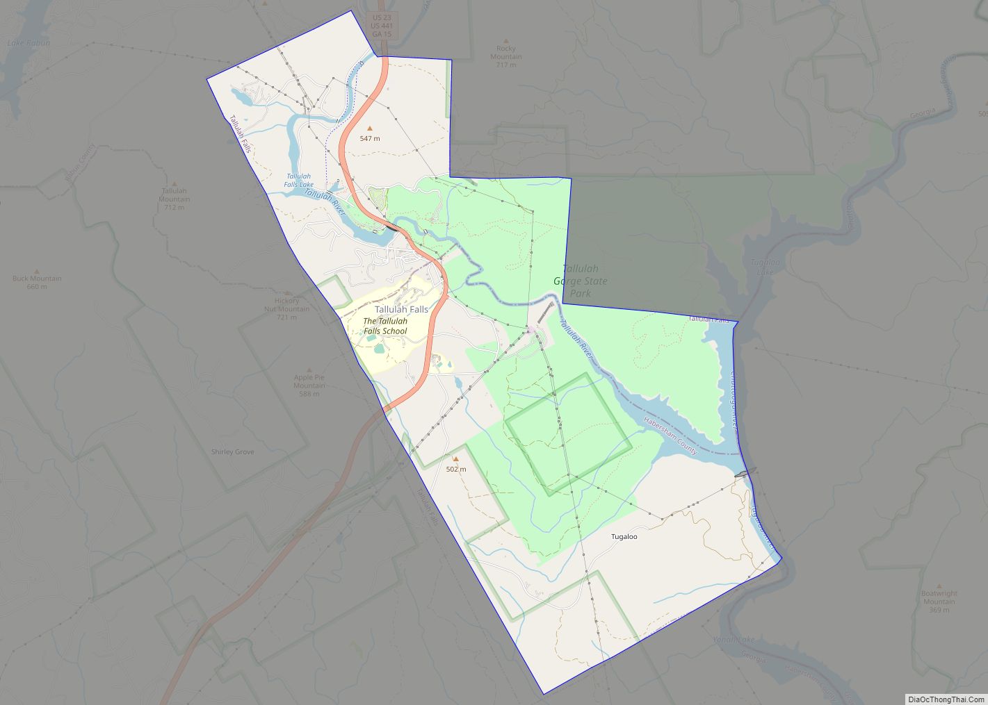
Online Interactive Map
Click on ![]() to view map in "full screen" mode.
to view map in "full screen" mode.
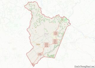
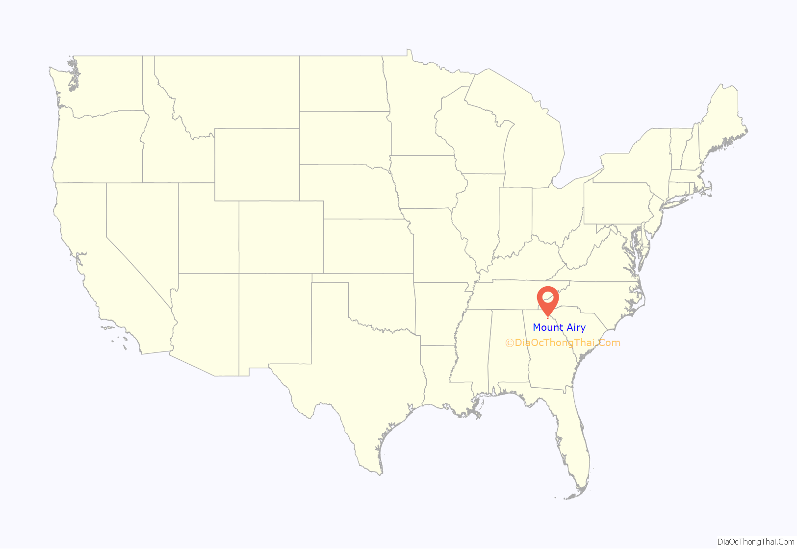
Mount Airy location map. Where is Mount Airy town?

History
The Georgia General Assembly incorporated Mount Airy as a town in 1874. The town’s name may be descriptive or a transfer from Mount Airy, North Carolina.
Lawton Place, a historic house once lived in by Ty Cobb, is listed on the National Register of Historic Places.
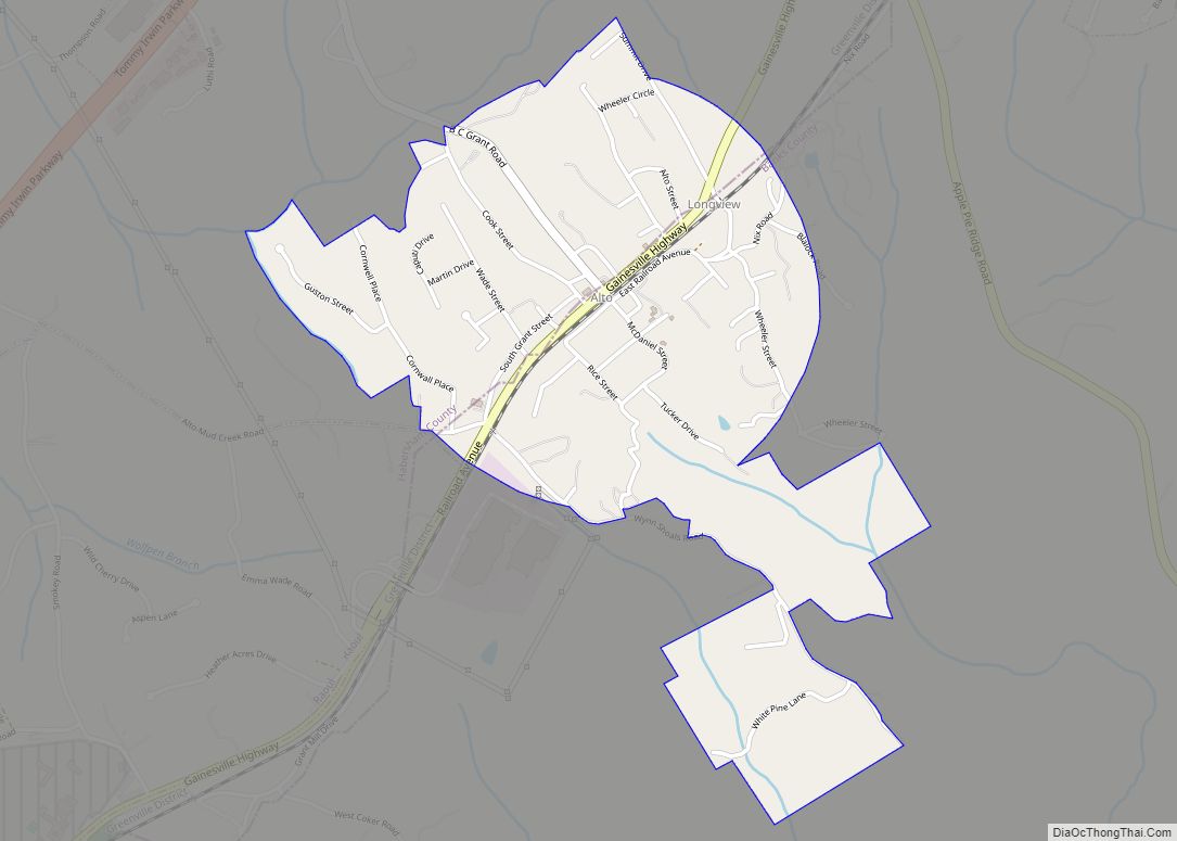
Mount Airy Road Map

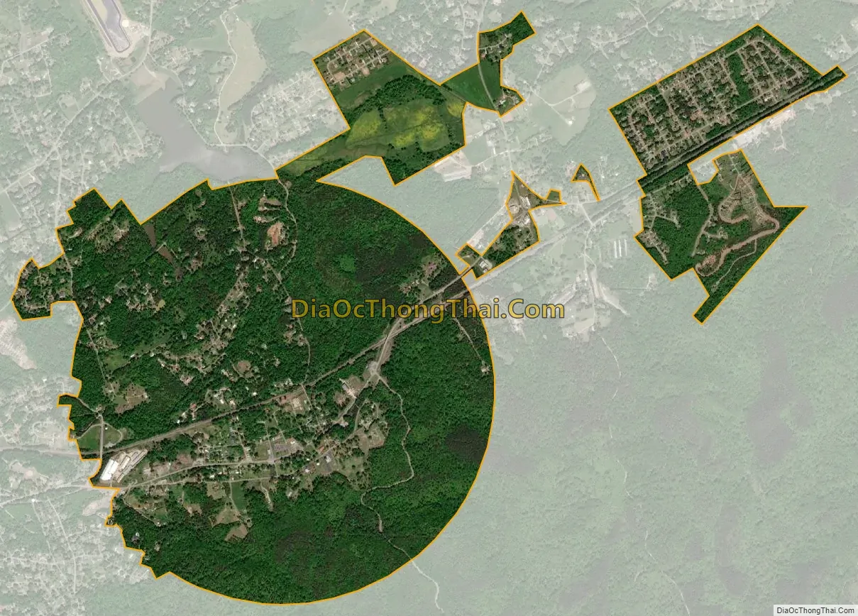
Mount Airy city Satellite Map
Geography
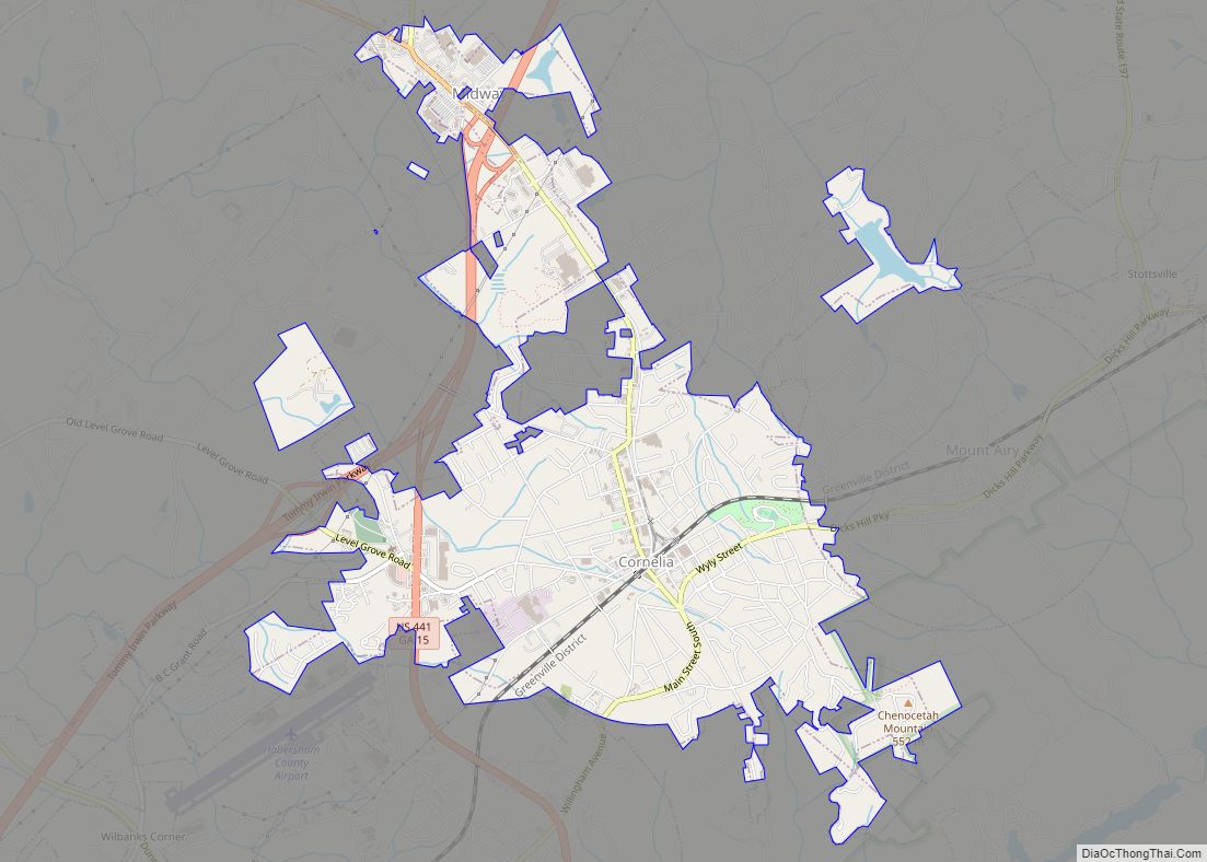
Mount Airy is located in southern Habersham County and is bordered to the west by the city of Cornelia and to the south by Chattahoochee National Forest. The town sits on top of the Eastern Continental Divide, with Camp Creek, draining the northern half of town, flowing north to Hazel Creek and the Soquee River, a tributary of the Chattahoochee River, and ultimately the Gulf of Mexico, while the southern half of town drains to Nancy Town Creek, then the Middle Fork of the Broad River and eventually the Savannah River, which flows to the Atlantic Ocean.
According to the United States Census Bureau, the town has a total area of 2.6 square miles (6.7 km), of which 0.01 square miles (0.02 km), or 0.31%, are water.
At 1,539 feet (469 m) above sea level, Mount Airy is the highest point on the Southern Railway line between New Orleans and Washington, D.C. This is confirmed by a US Geological survey marker located on the tracks just behind the City Hall.
See also
Map of Georgia State and its subdivision:- Appling
- Atkinson
- Bacon
- Baker
- Baldwin
- Banks
- Barrow
- Bartow
- Ben Hill
- Berrien
- Bibb
- Bleckley
- Brantley
- Brooks
- Bryan
- Bulloch
- Burke
- Butts
- Calhoun
- Camden
- Candler
- Carroll
- Catoosa
- Charlton
- Chatham
- Chattahoochee
- Chattooga
- Cherokee
- Clarke
- Clay
- Clayton
- Clinch
- Cobb
- Coffee
- Colquitt
- Columbia
- Cook
- Coweta
- Crawford
- Crisp
- Dade
- Dawson
- Decatur
- DeKalb
- Dodge
- Dooly
- Dougherty
- Douglas
- Early
- Echols
- Effingham
- Elbert
- Emanuel
- Evans
- Fannin
- Fayette
- Floyd
- Forsyth
- Franklin
- Fulton
- Gilmer
- Glascock
- Glynn
- Gordon
- Grady
- Greene
- Gwinnett
- Habersham
- Hall
- Hancock
- Haralson
- Harris
- Hart
- Heard
- Henry
- Houston
- Irwin
- Jackson
- Jasper
- Jeff Davis
- Jefferson
- Jenkins
- Johnson
- Jones
- Lamar
- Lanier
- Laurens
- Lee
- Liberty
- Lincoln
- Long
- Lowndes
- Lumpkin
- Macon
- Madison
- Marion
- McDuffie
- McIntosh
- Meriwether
- Miller
- Mitchell
- Monroe
- Montgomery
- Morgan
- Murray
- Muscogee
- Newton
- Oconee
- Oglethorpe
- Paulding
- Peach
- Pickens
- Pierce
- Pike
- Polk
- Pulaski
- Putnam
- Quitman
- Rabun
- Randolph
- Richmond
- Rockdale
- Schley
- Screven
- Seminole
- Spalding
- Stephens
- Stewart
- Sumter
- Talbot
- Taliaferro
- Tattnall
- Taylor
- Telfair
- Terrell
- Thomas
- Tift
- Toombs
- Towns
- Treutlen
- Troup
- Turner
- Twiggs
- Union
- Upson
- Walker
- Walton
- Ware
- Warren
- Washington
- Wayne
- Webster
- Wheeler
- White
- Whitfield
- Wilcox
- Wilkes
- Wilkinson
- Worth
- Alabama
- Alaska
- Arizona
- Arkansas
- California
- Colorado
- Connecticut
- Delaware
- District of Columbia
- Florida
- Georgia
- Hawaii
- Idaho
- Illinois
- Indiana
- Iowa
- Kansas
- Kentucky
- Louisiana
- Maine
- Maryland
- Massachusetts
- Michigan
- Minnesota
- Mississippi
- Missouri
- Montana
- Nebraska
- Nevada
- New Hampshire
- New Jersey
- New Mexico
- New York
- North Carolina
- North Dakota
- Ohio
- Oklahoma
- Oregon
- Pennsylvania
- Rhode Island
- South Carolina
- South Dakota
- Tennessee
- Texas
- Utah
- Vermont
- Virginia
- Washington
- West Virginia
- Wisconsin
- Wyoming