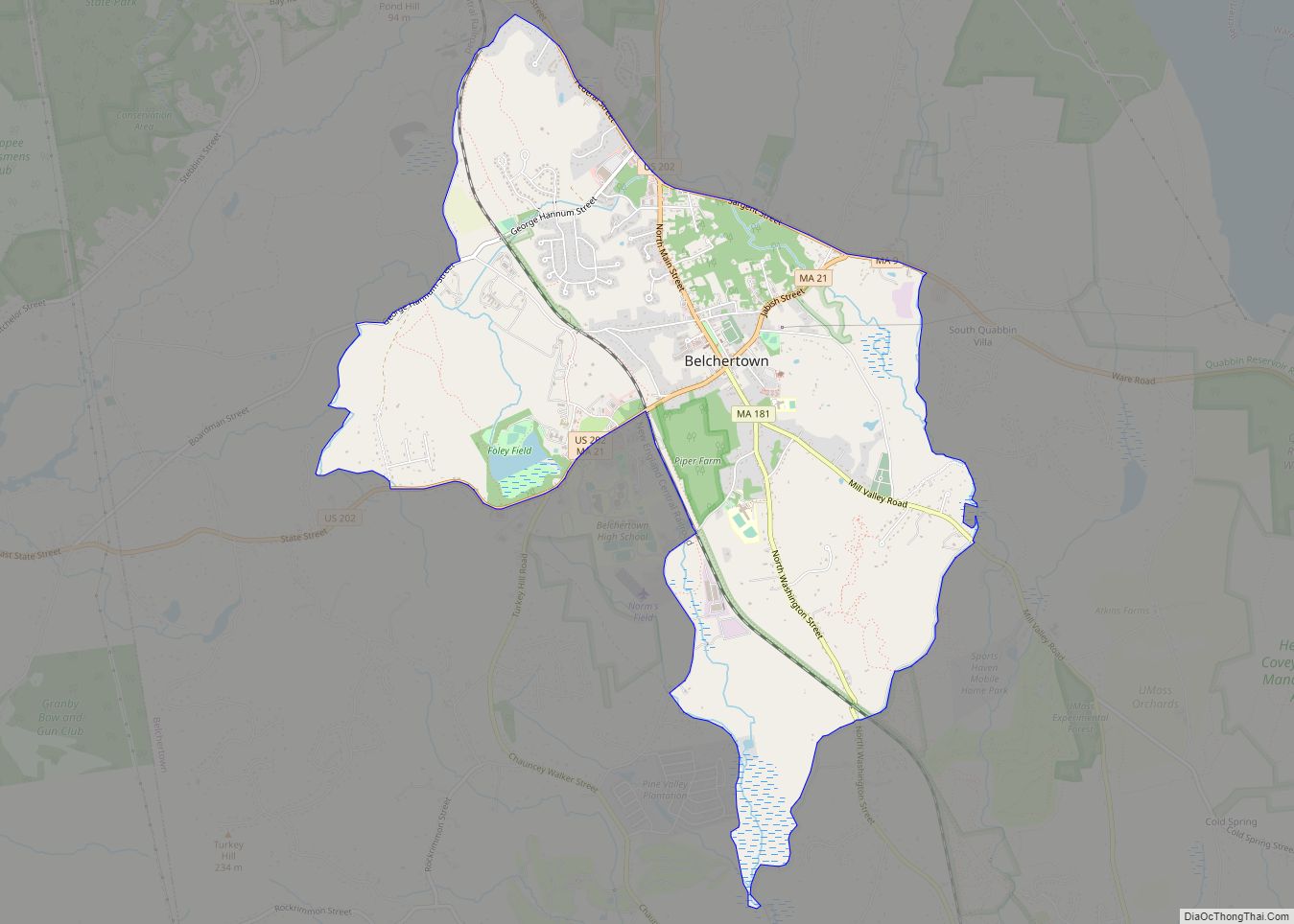
Hampshire County is a historical and judicial county located in the U.S. state of Massachusetts. As of the 2020 census, the population was 162,308. Its most populous municipality is Amherst, its largest town in terms of landmass is Belchertown, and its traditional county seat is Northampton. The county is named after the county Hampshire, in England. Hampshire County is part of the Springfield, MA Metropolitan Statistical Area. Together with Hampden County, Hampshire County municipalities belong to the Pioneer Valley Planning Commission.
| Name: | Hampshire County |
|---|---|
| FIPS code: | 25-015 |
| State: | Massachusetts |
| Founded: | 1662 |
| Named for: | Hampshire, England |
| Seat: | Northampton |
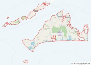
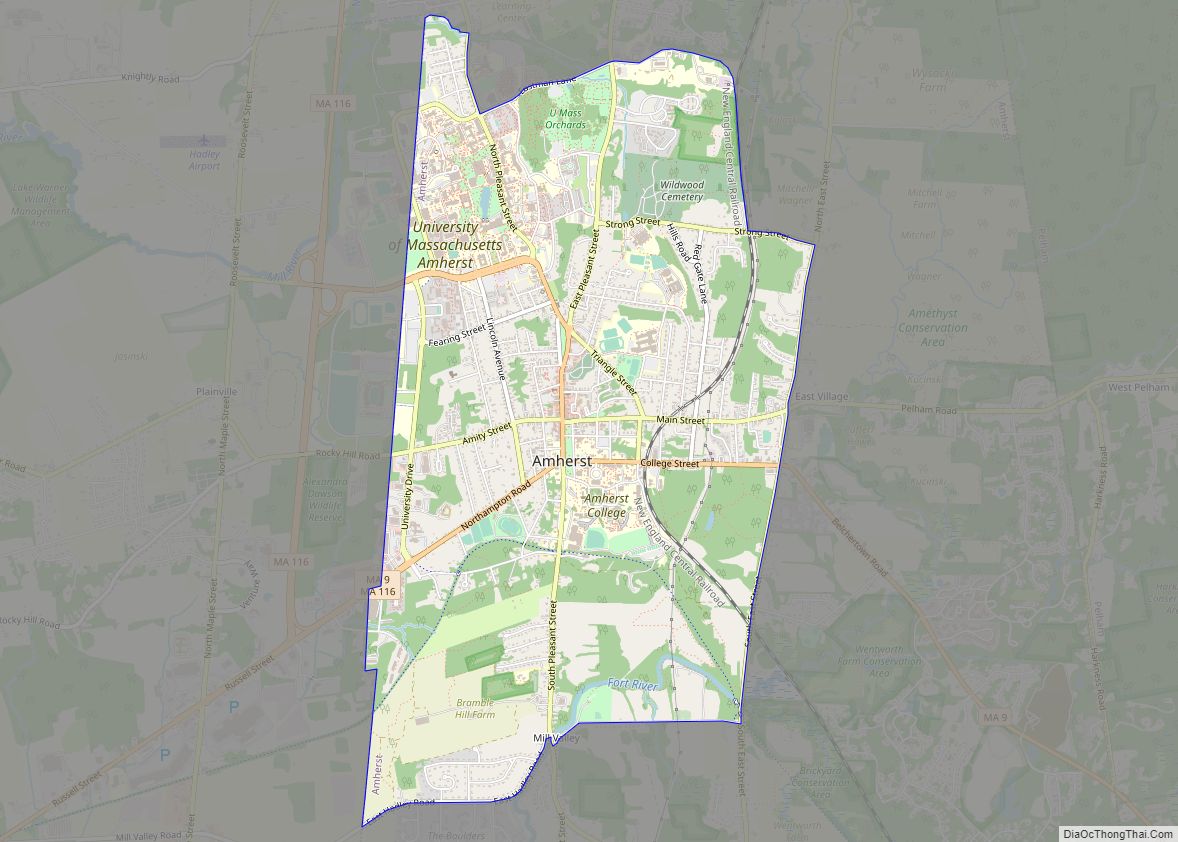
| Largest town: | Amherst |
| Total Area: | 545 sq mi (1,410 km²) |
| Land Area: | 527 sq mi (1,360 km²) |
| Total Population: | 162,308 |
| Population Density: | 308.0/sq mi (118.9/km²) |
| Time zone: | UTC−5 (Eastern) |
| Summer Time Zone (DST): | UTC−4 (EDT) |
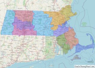
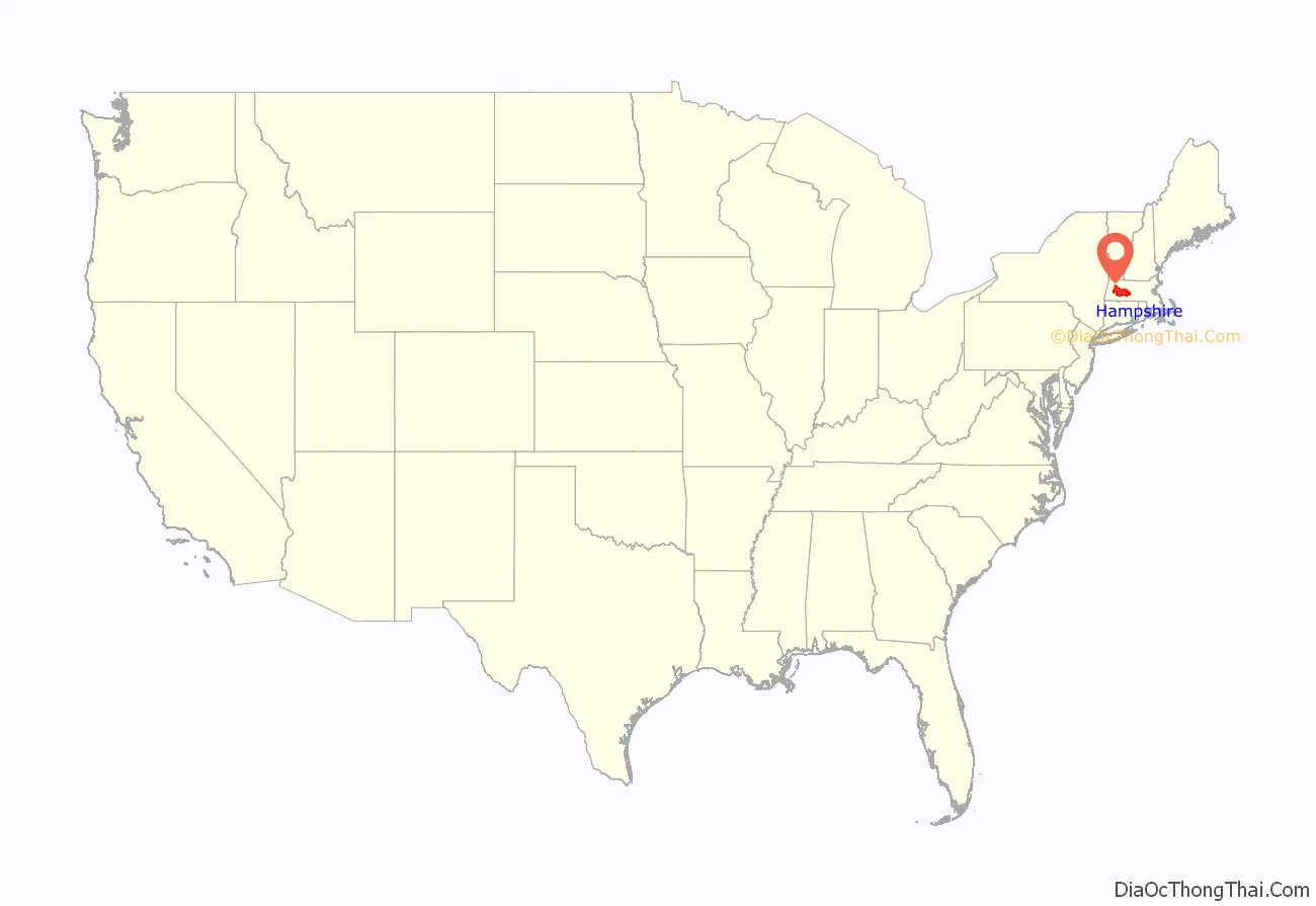
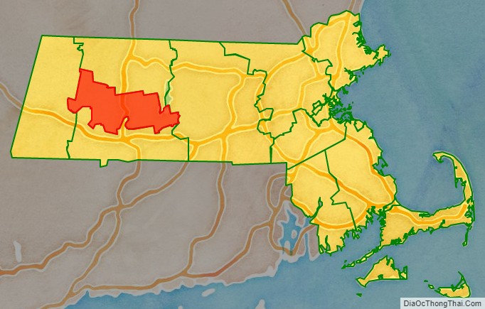
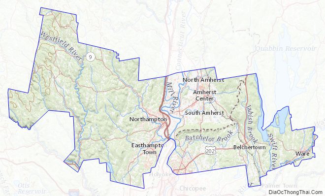
Hampshire County location map. Where is Hampshire County?
History
Hampshire County was constituted in 1662 from previously unorganized territory comprising the entire western part of Massachusetts Bay Colony. It included the original towns of Springfield, Northampton, and Hadley. The original Hampshire County also included territory that is now in modern-day Hampden County, Franklin County, and Berkshire County, as well as small parts of modern-day Worcester County. By 1683, three new towns (Westfield (now Southwick), Suffield, and Enfield) had been incorporated south of Springfield. These towns were partly or wholly in the modern state of Connecticut at the time of their incorporation and resulted in a border dispute between the Connecticut Colony and Massachusetts Bay Colony.
In 1731, Worcester County was created, which included the original town of Brookfield (incorporated in 1718 as part of Hampshire County). More territory was lost to Worcester County in 1742 when the town of Western (now Warren) was created and added to Worcester County. Further territorial losses occurred in 1749 when the towns of Enfield, Somers (split off from Enfield in 1734), and Suffield unilaterally joined Connecticut Colony. In 1761, Berkshire County was partitioned from Hampshire County. In 1811, Franklin County was split off from the northern part of Hampshire, and in the following year, Hampden County was split off from its southern part.
Following the dissolution of the county government in 1999, county affairs were managed by the Hampshire Council of Governments. The council itself ceased operations in 2019, due to what an appraisal of the council termed a “fundamentally flawed, unsustainable operational model”; it had no inherent source of income and lacked a regional planning function.
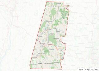
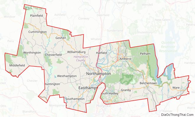
Hampshire County Road Map
Geography
According to the U.S. Census Bureau, the county has a total area of 545 square miles (1,410 km), of which 527 square miles (1,360 km) is land and 18 square miles (47 km) (3.3%) is water.
Hampshire County is the middle section of the Pioneer Valley, and the northern tip of the Hartford–Springfield Knowledge Corridor.
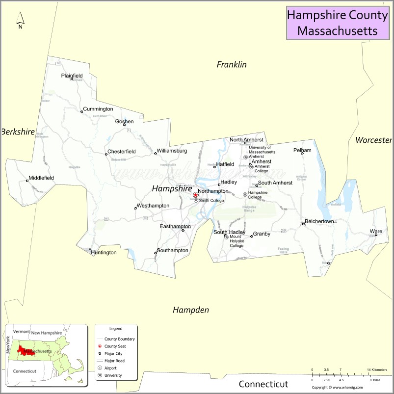
Adjacent counties
Hampshire County is the only county in Massachusetts surrounded in all directions by other counties of Massachusetts: all other counties in the state are adjacent to at least one other state or the open ocean.
- Franklin County (north)
- Worcester County (east)
- Hampden County (south)
- Berkshire County (west)
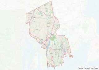
Hampshire County Topographic Map
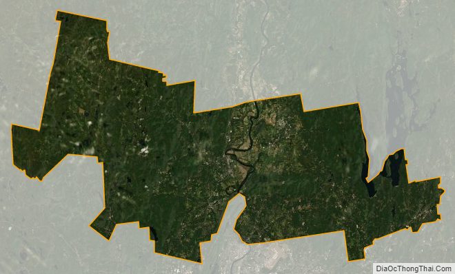
Hampshire County Satellite Map
Hampshire County Outline Map