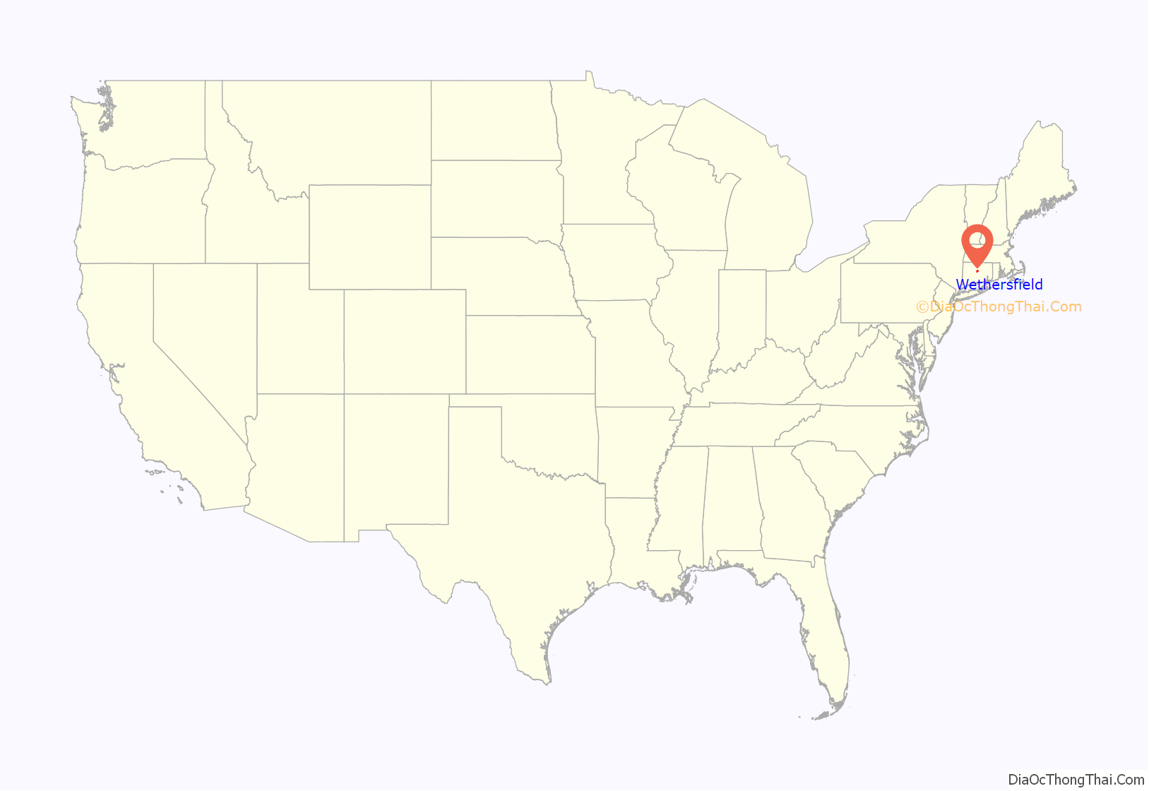
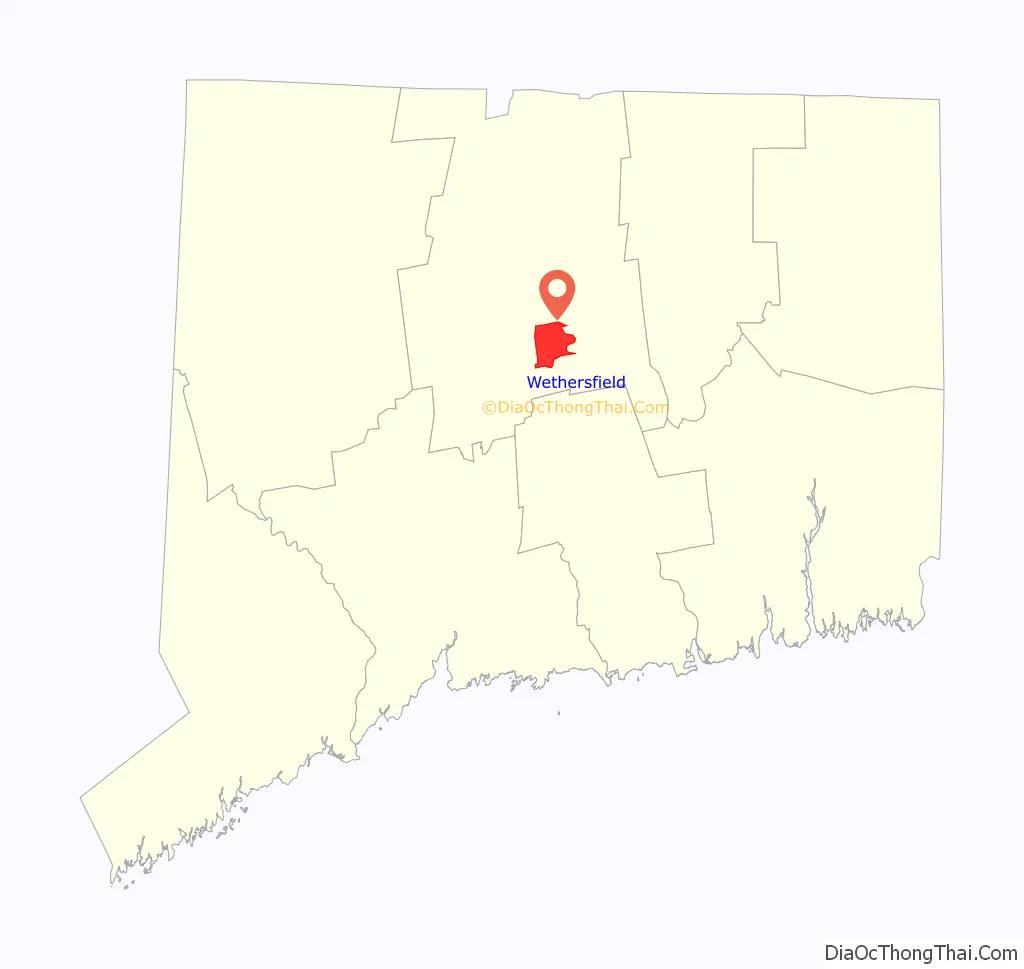
Wethersfield is a town located in Hartford County, Connecticut, United States. It is located immediately south of Hartford along the Connecticut River. The town is part of the Capitol Planning Region. The population was 27,298 at the time of the 2020 census.
Many records from colonial times spell the name “Weathersfield” and “Wythersfield,” while Native Americans called it Pyquag. “Watertown” is a variant name.
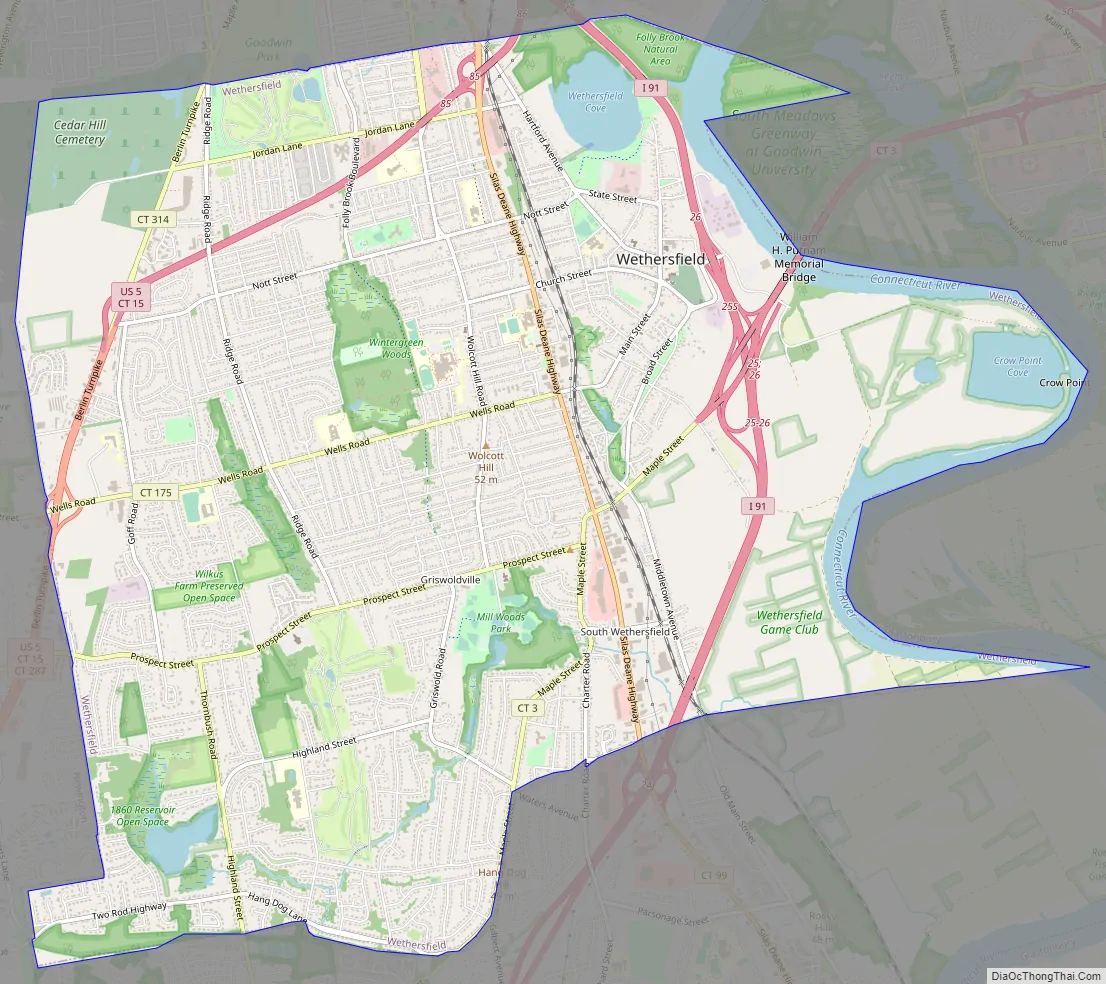
The neighborhood known as Old Wethersfield is the state’s largest historic district, spanning 2 sq mi (5.2 km) and containing 1,100 buildings, dating to the 17th, 18th and 19th centuries. The town is primarily served by Interstate 91.
| Name: | Wethersfield CDP |
|---|---|
| LSAD Code: | 57 |
| LSAD Description: | CDP (suffix) |
| State: | Connecticut |
| County: | Hartford County |
| Incorporated: | February 21, 1637 |
| Elevation: | 43 ft (13 m) |
| Total Area: | 13.1 sq mi (34.0 km²) |
| Land Area: | 12.3 sq mi (31.9 km²) |
| Water Area: | 0.8 sq mi (2.1 km²) |
| Total Population: | 27,298 |
| Population Density: | 2,100/sq mi (800/km²) |
| ZIP code: | 06109 |
| Area code: | 860/959 |
| FIPS code: | 0984970 |
| GNISfeature ID: | 212042 |
| Website: | wethersfieldct.gov |
Online Interactive Map
Click on ![]() to view map in "full screen" mode.
to view map in "full screen" mode.
Wethersfield location map. Where is Wethersfield CDP?
History
Founded in 1634 by a Puritan settlement party of “10 Men,” including John Oldham, Robert Seeley, Thomas Topping, and Nathaniel Foote, Wethersfield is arguably the oldest town in Connecticut, depending on the interpretation of when a remote settlement qualifies as a “town”. Along with Windsor and Hartford, Wethersfield is represented by one of the three grapevines on the Flag of Connecticut, signifying the state’s three oldest English settlements. The town was named by colonists for Wethersfield, a village in the English county of Essex. The town was previously called “Watertown,” named after Watertown, Massachusetts, until February 21, 1637, when it was incorporated as a town along with Windsor and Hartford. The town established the Old Wethersfield Village Cemetery as its first burying ground on Hungry Hill in 1638.
During the Pequot War, on April 23, 1637, Wangunk Chief Sequin, who had lived with the colonists in Wethersfield but had been forced out after a few years, attacked Wethersfield with Pequot help. They killed six men and three women, a number of cattle and horses, and took two young girls captive. They were daughters of Abraham Swain or William Swaine (sources vary), and were later ransomed by Dutch traders.
Four witch trials and three executions for witchcraft occurred in the town in the 17th century. Mary Johnson was convicted of witchcraft and executed in 1648, Joan and John Carrington in 1651. In 1669, landowner Katherine Harrison was convicted, and although her conviction was reversed, she was banished and her property seized by her neighbors.
From 1716 to 1718, the Collegiate School was briefly located in Wethersfield; it moved to New Haven and developed over the decades as Yale University.
Silas Deane, envoy to France during the American Revolutionary War, lived in the town. His house is now preserved and operated as part of the Webb-Deane-Stevens Museum. In May 1781, at the Webb House on Main Street, General George Washington and French Lt. Gen. Rochambeau planned the Siege of Yorktown, which culminated in the surrender of Britain and independence of the colonies.
The Wethersfield Volunteer Fire Department was chartered by the Connecticut Legislature on May 12, 1803, making it the first formally chartered fire department in the state. It is one of the oldest chartered volunteer fire department in continuous existence in the United States.
Wethersfield was “for a century at least, the centre of the onion trade in New England”, during the late 1700s and early to middle 1800s. “Outsiders dubbed the Connecticut village ‘Oniontown,’ with a crosshatch of affection and derision, for this was home of the world-famous Wethersfield red onion.”
In addition, the town was home to William G. Comstock, a well-known 19th-century gardening expert and author of the era’s most prominent gardening book, Order of Spring Work. In 1820, Comstock founded what would become Comstock, Ferre & Company, America’s oldest continuously operating seed company. It pioneered the commercial sale of sealed packets of seeds, as he had learned from the Amish. Other nationally prominent seed companies in and around the town developed from this agricultural past.
A meteorite fell on Wethersfield on November 8, 1982. It was the second meteorite to fall in the town in the span of 11 years, as the first crashed on 8 April 1971. It crashed through the roof of a house without injuring the occupants, as had been the case with the first meteorite as well. The 1971 meteorite was sold to the Smithsonian, and the 1982 meteorite was taken up as part of a collection at the Yale Peabody Museum.
Wethersfield Road Map
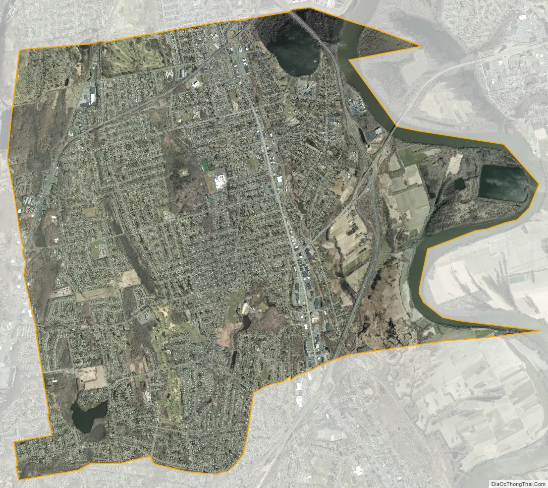
Wethersfield city Satellite Map
See also
Map of Connecticut State and its subdivision: Map of other states:- Alabama
- Alaska
- Arizona
- Arkansas
- California
- Colorado
- Connecticut
- Delaware
- District of Columbia
- Florida
- Georgia
- Hawaii
- Idaho
- Illinois
- Indiana
- Iowa
- Kansas
- Kentucky
- Louisiana
- Maine
- Maryland
- Massachusetts
- Michigan
- Minnesota
- Mississippi
- Missouri
- Montana
- Nebraska
- Nevada
- New Hampshire
- New Jersey
- New Mexico
- New York
- North Carolina
- North Dakota
- Ohio
- Oklahoma
- Oregon
- Pennsylvania
- Rhode Island
- South Carolina
- South Dakota
- Tennessee
- Texas
- Utah
- Vermont
- Virginia
- Washington
- West Virginia
- Wisconsin
- Wyoming


