Maggie Valley is a town in Haywood County, North Carolina, United States. The population was 1,150 at the 2010 census. A popular tourist destination, it is home to Cataloochee Ski Area and the former Ghost Town in the Sky amusement park. Maggie Valley is part of the Asheville Metropolitan Statistical Area.
The community gets its name from Maggie Mae Setzer; her father John “Jack” Sidney Setzer founded the area’s first post office and named it after one of his daughters.
| Name: | Maggie Valley town |
|---|---|
| LSAD Code: | 43 |
| LSAD Description: | town (suffix) |
| State: | North Carolina |
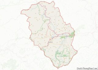
| County: | Haywood County |
| Elevation: | 3,018 ft (920 m) |
| Total Area: | 3.39 sq mi (8.78 km²) |
| Land Area: | 3.39 sq mi (8.78 km²) |
| Water Area: | 0.00 sq mi (0.00 km²) |
| Total Population: | 1,687 |
| Population Density: | 497.79/sq mi (192.17/km²) |
| ZIP code: | 28751 |
| Area code: | 828 |
| FIPS code: | 3740600 |
| GNISfeature ID: | 1027422 |
| Website: | www.maggievalleync.gov |
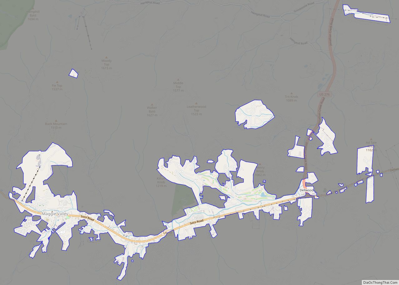
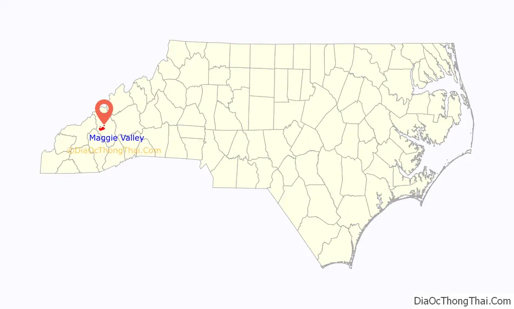
Online Interactive Map
Click on ![]() to view map in "full screen" mode.
to view map in "full screen" mode.
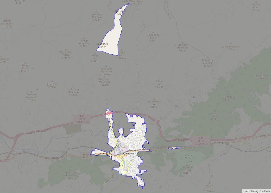
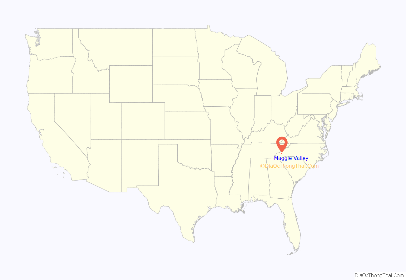
Maggie Valley location map. Where is Maggie Valley town?
History
Before European colonization, what is now Maggie Valley was inhabited by the Cherokee people and other Indigenous peoples for thousands of years. The Cherokee in Western North Carolina are known as the Eastern Band of Cherokee Indians, a federally recognized tribe.
Maggie Valley was officially incorporated as a town on May 10, 1904.
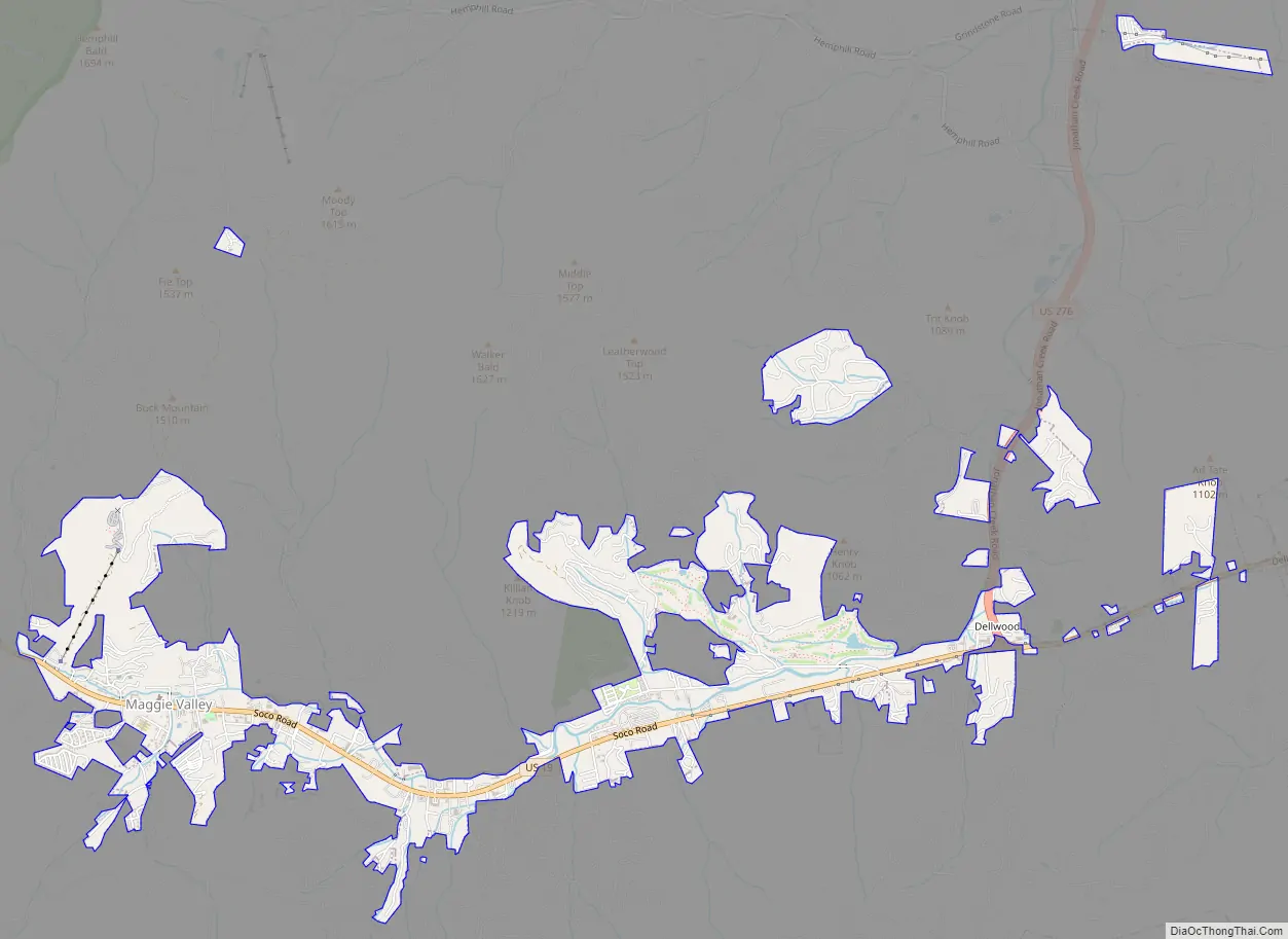
Maggie Valley Road Map
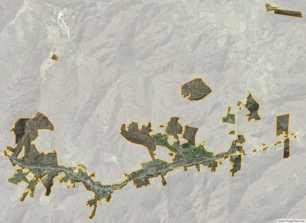
Maggie Valley city Satellite Map
Geography
Maggie Valley is in west-central Haywood County at 35°30′52″N 83°4′1″W / 35.51444°N 83.06694°W / 35.51444; -83.06694 (35.514430, -83.067013). U.S. Route 19 is the main road through the town, leading east 35 miles (56 km) to Asheville and west over Soco Gap 16 miles (26 km) to Cherokee.
According to the U.S. Census Bureau, the town has an area of 3.2 square miles (8.2 km), all land.
See also
Map of North Carolina State and its subdivision:- Alamance
- Alexander
- Alleghany
- Anson
- Ashe
- Avery
- Beaufort
- Bertie
- Bladen
- Brunswick
- Buncombe
- Burke
- Cabarrus
- Caldwell
- Camden
- Carteret
- Caswell
- Catawba
- Chatham
- Cherokee
- Chowan
- Clay
- Cleveland
- Columbus
- Craven
- Cumberland
- Currituck
- Dare
- Davidson
- Davie
- Duplin
- Durham
- Edgecombe
- Forsyth
- Franklin
- Gaston
- Gates
- Graham
- Granville
- Greene
- Guilford
- Halifax
- Harnett
- Haywood
- Henderson
- Hertford
- Hoke
- Hyde
- Iredell
- Jackson
- Johnston
- Jones
- Lee
- Lenoir
- Lincoln
- Macon
- Madison
- Martin
- McDowell
- Mecklenburg
- Mitchell
- Montgomery
- Moore
- Nash
- New Hanover
- Northampton
- Onslow
- Orange
- Pamlico
- Pasquotank
- Pender
- Perquimans
- Person
- Pitt
- Polk
- Randolph
- Richmond
- Robeson
- Rockingham
- Rowan
- Rutherford
- Sampson
- Scotland
- Stanly
- Stokes
- Surry
- Swain
- Transylvania
- Tyrrell
- Union
- Vance
- Wake
- Warren
- Washington
- Watauga
- Wayne
- Wilkes
- Wilson
- Yadkin
- Yancey
- Alabama
- Alaska
- Arizona
- Arkansas
- California
- Colorado
- Connecticut
- Delaware
- District of Columbia
- Florida
- Georgia
- Hawaii
- Idaho
- Illinois
- Indiana
- Iowa
- Kansas
- Kentucky
- Louisiana
- Maine
- Maryland
- Massachusetts
- Michigan
- Minnesota
- Mississippi
- Missouri
- Montana
- Nebraska
- Nevada
- New Hampshire
- New Jersey
- New Mexico
- New York
- North Carolina
- North Dakota
- Ohio
- Oklahoma
- Oregon
- Pennsylvania
- Rhode Island
- South Carolina
- South Dakota
- Tennessee
- Texas
- Utah
- Vermont
- Virginia
- Washington
- West Virginia
- Wisconsin
- Wyoming