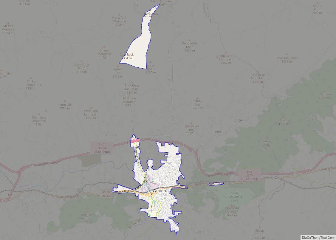
Canton is the second largest town in Haywood County, North Carolina, United States. It is located about 17 miles (27 km) west of Asheville and is part of that city’s metropolitan area. The town is named after the city of Canton, Ohio. The population was 4,227 at the 2010 census.
| Name: | Canton town |
|---|---|
| LSAD Code: | 43 |
| LSAD Description: | town (suffix) |
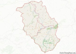
| State: | North Carolina |
| County: | Haywood County |
| Elevation: | 2,615 ft (797 m) |
| Total Area: | 3.72 sq mi (9.63 km²) |
| Land Area: | 3.72 sq mi (9.63 km²) |
| Water Area: | 0.00 sq mi (0.00 km²) |
| Total Population: | 4,422 |
| Population Density: | 1,189.03/sq mi (459.06/km²) |
| ZIP code: | 28716 |
| Area code: | 828 |
| FIPS code: | 3710240 |
| GNISfeature ID: | 1019518 |
| Website: | www.cantonnc.com |
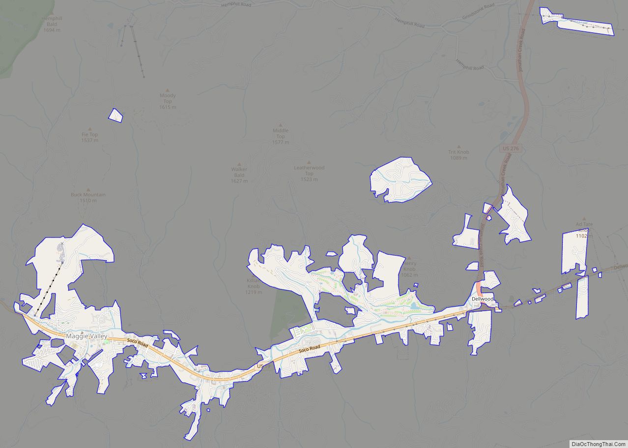
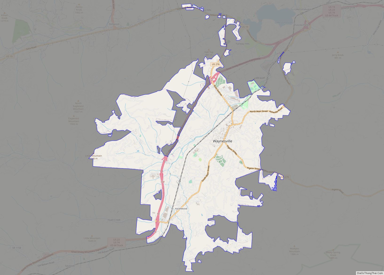
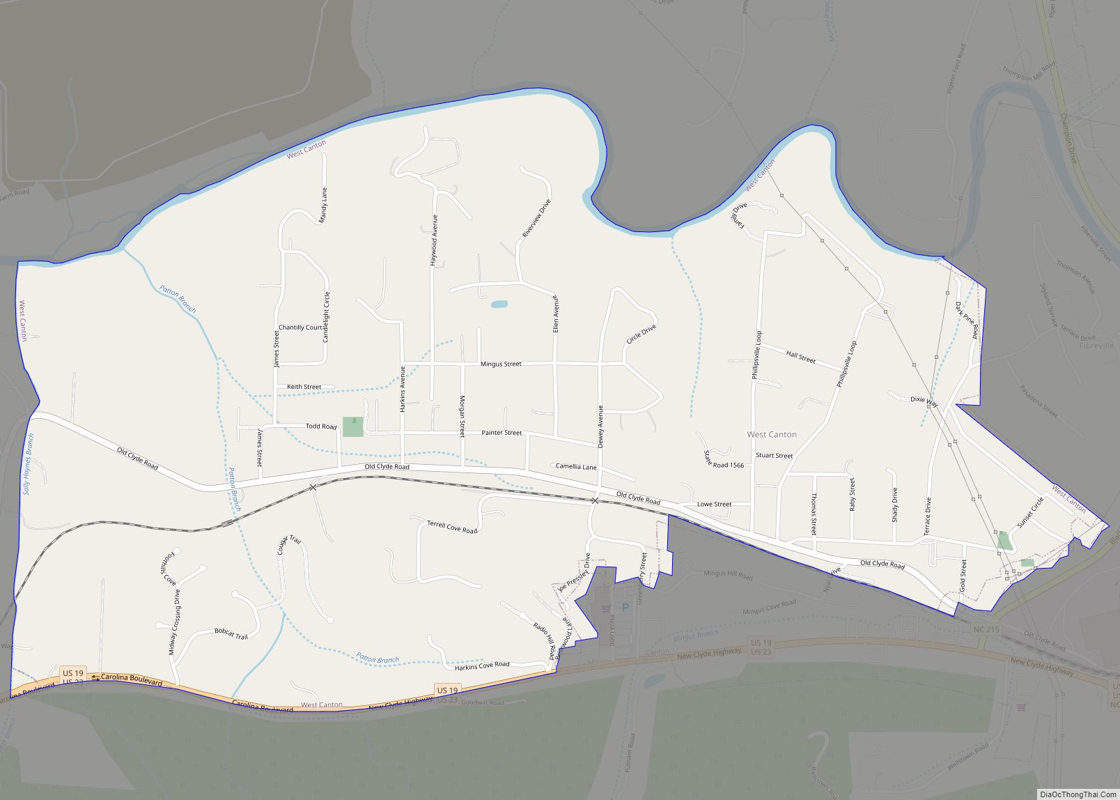
Online Interactive Map
Click on ![]() to view map in "full screen" mode.
to view map in "full screen" mode.
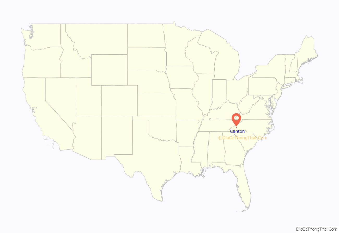
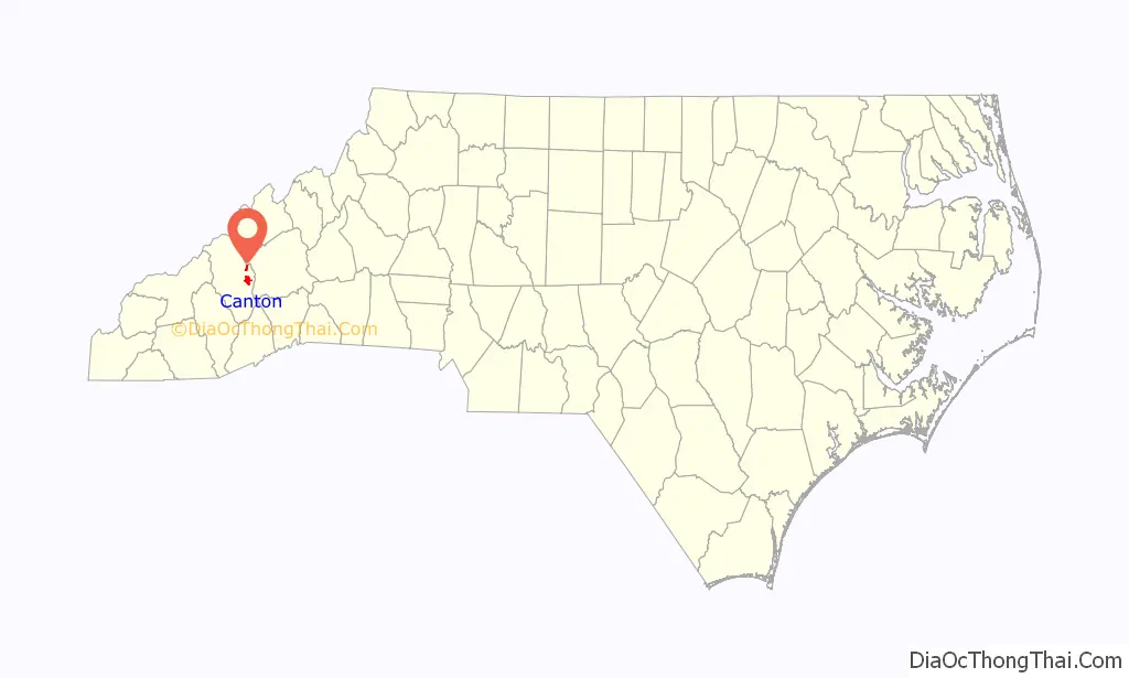
Canton location map. Where is Canton town?
History
This area was long settled by succeeding indigenous cultures. What is known as the archeological Garden Creek site, listed on the National Register of Historic Places, is located on the south side of the Pigeon River, approximately seven miles west of Canton. It was inhabited from 8000 BCE by successive cultures of indigenous peoples. Villages were developed in the Middle Woodland (200-600 CE) and The Southeast Appalachian Mississippian culture (1000 to 1450/1500 CE) periods. The Cherokee people are the most recent Native Americans to occupy this area, which is part of their homelands in the western Carolinas, southeastern Tennessee, and northeastern Georgia. The Cherokee in Western North Carolina are known as the Eastern Band of Cherokee Indians, a federally recognized tribe.
The prehistoric peoples built a total of four earthwork mounds at the site. Three have been excavated, the last two platform mounds in the 1960s prior to residential development.
European Americans did not begin to settle here until the late 1780s, following the American Revolutionary War, United States independence, and gaining cessions of land to the US by the Cherokee. By 1790, Jonathan McPeters was farming the banks of the Pigeon River at the site where Canton developed. Around 1815 the first church was built in what was to become Canton; it was called the Locust Old Field Baptist Church. “Old Field: is a common term referring to areas cultivated or occupied by the Cherokee people, as this was known to be part of their traditional homelands.
Canton was founded in 1889 as “Buford”. Later that same year, the name was changed to “Vinson”. The name was changed to “Pigeon Ford” in 1891, and to “Canton” in 1893. The town was named for Canton, Ohio, the source of the steel for the bridge that was built across the Pigeon River.
Canton’s river location enabled the development of industry that used water power.
Peter G. Thomson had built Champion Coated Paper Company of Hamilton, Ohio into one of largest manufacturers of paper in the United States. He visited Western North Carolina in 1905 looking for a location for a pulp mill to supply his company. The area had large forests that would supply timber. Leaders of communities farther to the west tried to convince Thomson to choose their areas. While the timber supplies were greater to the west, Thomson wanted areas with more spruce and settled on Canton, which had the type trees Thomson wanted, enough land for a mill, and the Pigeon River to move logs to the mill. Thomson later realized the river did not have enough of a slope, so railroads were used to move logs instead. Construction on the mill began in 1906. Many of the workers also had farms that they had to return to, so immigrants were hired to do much of the work.
Canton had 350 people when work began. When the Champion Fibre Company mill opened in 1908, it had about 1000 employees and resulted in other related jobs being created, including construction of neighborhoods such as Fibreville, with 60 homes for employees. Thomson had great respect for the workers, believing those who had wealth should provide jobs for those who needed them, and began an annual Labor Day celebration in 1906, which continued a hundred years later.
When Champion owners decided to close the plant in 1997 because of environmental issues, the employees purchased the plant and formed Blue Ridge Paper Company. Under an ESOP, the employees owned a 45% stake in the new company. The plant was sold to Evergreen Packaging, which in 2020 became Pactiv Evergreen. The Blue Ridge Southern Railroad served the plant and has a small railyard next to it. On March 6, 2023, Pactiv Evergreen announced the mill would close in the summer, affecting 1,100 workers.
The Canton Main Street Historic District and Colonial Theater are listed on the National Register of Historic Places.
On August 17, 2021, Tropical Storm Fred flooded the town near the Pigeon River. As of June 2022, many buildings surrounding the river are still not usable as a result of the storm. In nearby Cruso, six people died as a result from the flooding, many of which at Laurel Bank Campground.
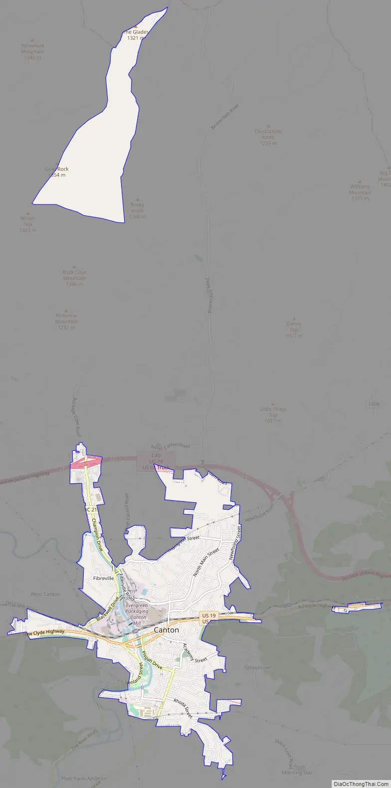
Canton Road Map
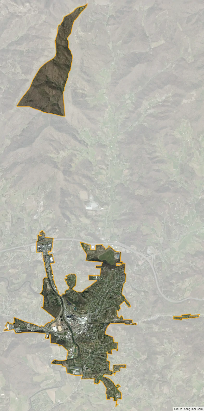
Canton city Satellite Map
Geography
Canton is in east-central Haywood County, on both sides of the Pigeon River. U.S. Routes 19 and 23 pass through the center of town as Park Street and Main Street. The highways lead east 17 miles (27 km) to Asheville and west 7 miles (11 km) to Lake Junaluska. Interstate 40 passes through the northernmost part of Canton, with access from Exits 31 and 33. I-40 leads east to Asheville and northwest through the Pigeon River Gorge into Tennessee.
According to the U.S. Census Bureau, the town of Canton has a total area of 3.8 square miles (9.8 km), all land.
See also
Map of North Carolina State and its subdivision:- Alamance
- Alexander
- Alleghany
- Anson
- Ashe
- Avery
- Beaufort
- Bertie
- Bladen
- Brunswick
- Buncombe
- Burke
- Cabarrus
- Caldwell
- Camden
- Carteret
- Caswell
- Catawba
- Chatham
- Cherokee
- Chowan
- Clay
- Cleveland
- Columbus
- Craven
- Cumberland
- Currituck
- Dare
- Davidson
- Davie
- Duplin
- Durham
- Edgecombe
- Forsyth
- Franklin
- Gaston
- Gates
- Graham
- Granville
- Greene
- Guilford
- Halifax
- Harnett
- Haywood
- Henderson
- Hertford
- Hoke
- Hyde
- Iredell
- Jackson
- Johnston
- Jones
- Lee
- Lenoir
- Lincoln
- Macon
- Madison
- Martin
- McDowell
- Mecklenburg
- Mitchell
- Montgomery
- Moore
- Nash
- New Hanover
- Northampton
- Onslow
- Orange
- Pamlico
- Pasquotank
- Pender
- Perquimans
- Person
- Pitt
- Polk
- Randolph
- Richmond
- Robeson
- Rockingham
- Rowan
- Rutherford
- Sampson
- Scotland
- Stanly
- Stokes
- Surry
- Swain
- Transylvania
- Tyrrell
- Union
- Vance
- Wake
- Warren
- Washington
- Watauga
- Wayne
- Wilkes
- Wilson
- Yadkin
- Yancey
- Alabama
- Alaska
- Arizona
- Arkansas
- California
- Colorado
- Connecticut
- Delaware
- District of Columbia
- Florida
- Georgia
- Hawaii
- Idaho
- Illinois
- Indiana
- Iowa
- Kansas
- Kentucky
- Louisiana
- Maine
- Maryland
- Massachusetts
- Michigan
- Minnesota
- Mississippi
- Missouri
- Montana
- Nebraska
- Nevada
- New Hampshire
- New Jersey
- New Mexico
- New York
- North Carolina
- North Dakota
- Ohio
- Oklahoma
- Oregon
- Pennsylvania
- Rhode Island
- South Carolina
- South Dakota
- Tennessee
- Texas
- Utah
- Vermont
- Virginia
- Washington
- West Virginia
- Wisconsin
- Wyoming