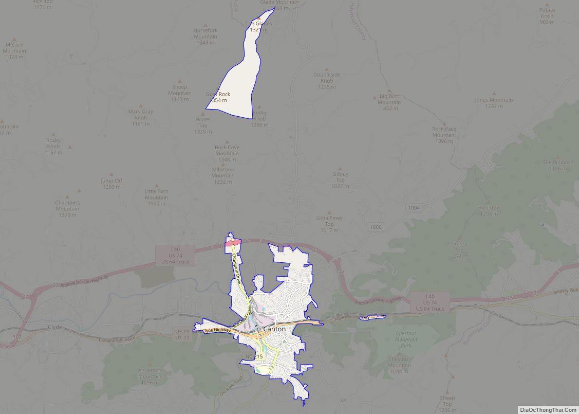
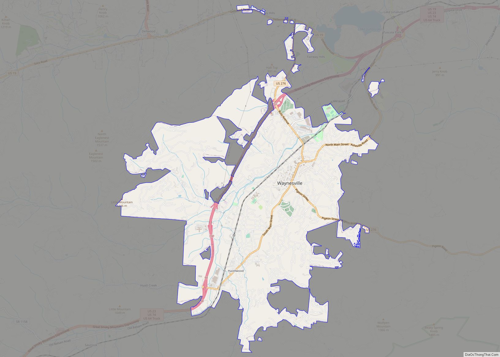
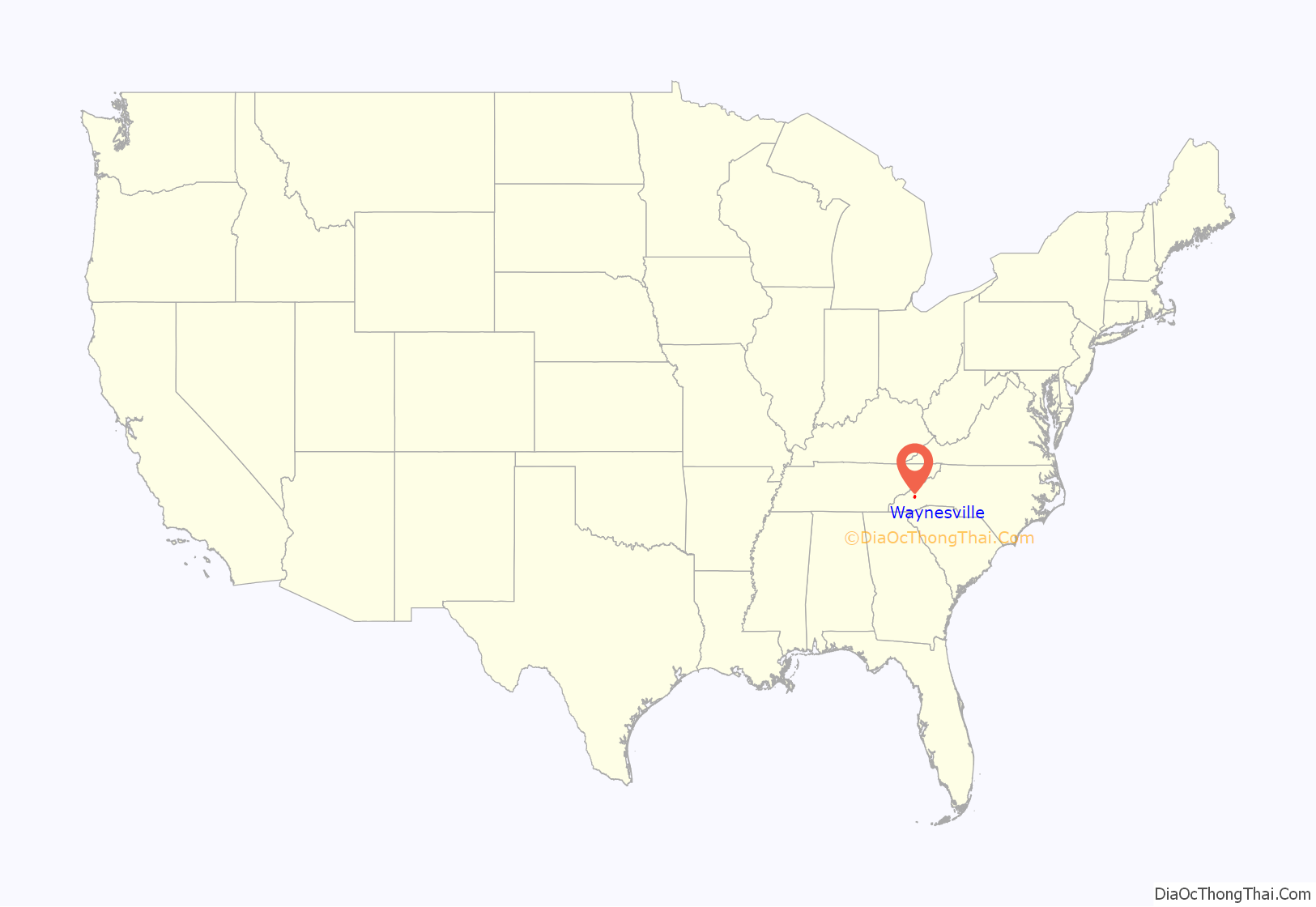
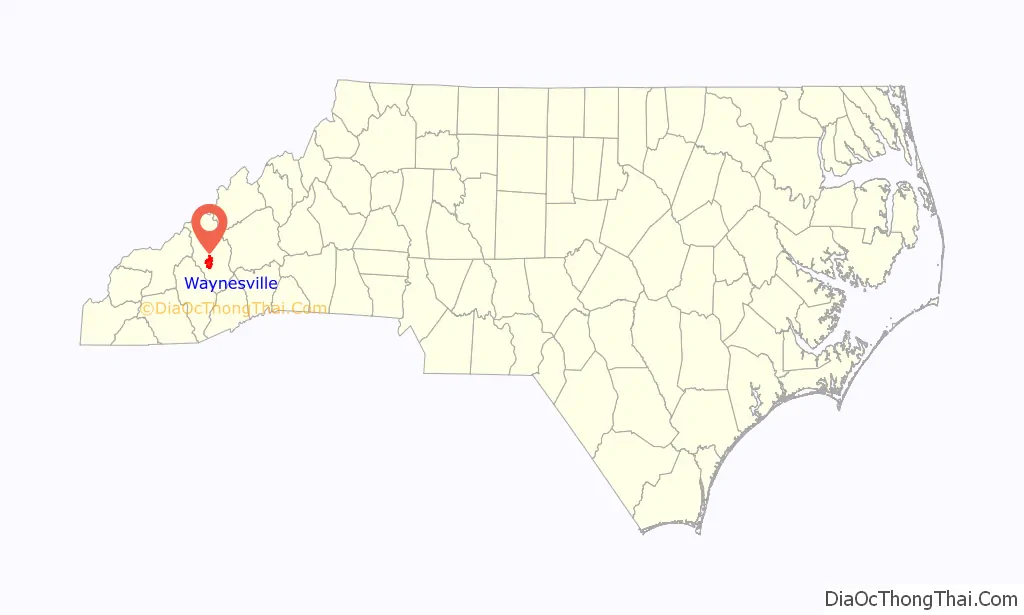
Waynesville is the county seat of Haywood County, North Carolina. It is the largest town in North Carolina west of Asheville. Waynesville is located about 30 miles (50 km) southwest of Asheville between the Great Smoky and Blue Ridge Mountains.
As of the 2010 census, Waynesville had a population of 9,869. The town is located just outside the Pisgah National Forest and is close to the Great Smoky Mountains National Park and the Blue Ridge Parkway. Waynesville and Haywood County are part of the four-county Asheville Metropolitan Statistical Area, currently the fifth largest metropolitan area in North Carolina. It is the third largest town in the MSA behind the cities of Asheville and Hendersonville.
| Name: | Waynesville town |
|---|---|
| LSAD Code: | 43 |
| LSAD Description: | town (suffix) |
| State: | North Carolina |
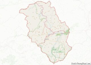
| County: | Haywood County |
| Incorporated: | 1810 |
| Elevation: | 2,752 ft (839 m) |
| Total Area: | 8.94 sq mi (23.14 km²) |
| Land Area: | 8.94 sq mi (23.14 km²) |
| Water Area: | 0.00 sq mi (0.00 km²) 0% |
| Total Population: | 10,140 |
| Population Density: | 1,134.74/sq mi (438.11/km²) |
| ZIP code: | 28738, 28785, 28786 |
| Area code: | 828 |
| FIPS code: | 3771500 |
| GNISfeature ID: | 1023138 |
| Website: | www.townofwaynesville.org |
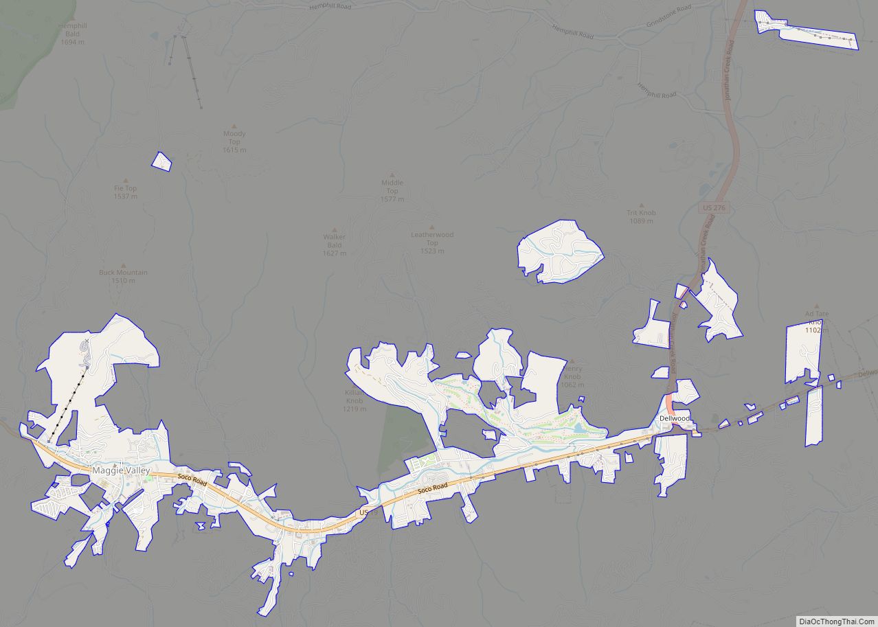
Online Interactive Map
Click on ![]() to view map in "full screen" mode.
to view map in "full screen" mode.
Waynesville location map. Where is Waynesville town?
History
The town of Waynesville was founded in 1810 by Colonel Robert Love, a Revolutionary War soldier. He donated land for the courthouse, jail, and public square, and named the town after his former commander in the war, General “Mad” Anthony Wayne.
The Boone-Withers House, Citizens Bank and Trust Company Building, Former, Francis Grist Mill, Frog Level Historic District, Haywood County Courthouse, Alden and Thomasene Howell House, Masonic Hall, Charles and Annie Quinlan House, Clyde H. Ray Sr. House, Frank Smathers House, Spread Out Historic District, Waynesville Municipal Building, Dr. J. Howell Way House, and Waynesville Main Street Historic District are listed on the National Register of Historic Places.
Waynesville was incorporated as a town in 1871. In July 1995, the towns of Hazelwood and Waynesville merged into one community and continued to grow with a population today of over 10,000.
The “Battle” of Waynesville
Waynesville was the scene of the last and perhaps most unusual skirmish in the eastern theater of the American Civil War. On May 6, 1865, Union Colonel William C. Bartlett’s 2nd North Carolina (Federal) Mounted Infantry were attacked at White Sulphur Springs (east of Waynesville) by a detachment of rebels from Thomas’ Legion of Highlanders, who had been summoned by locals.
East of the Mississippi, Thomas’ Legion fired “The Last Shot” of the Civil War in White Sulphur Springs, North Carolina. The Legion consisted of Cherokee and White soldiers. Some of these soldiers had served under Jubal A. Early during the Shenandoah Valley Campaigns of 1864, but had been sent back to their native North Carolina mountains to engage in guerrilla warfare against the remaining Union forces.
The disoriented Union soldiers retreated into Waynesville, and on the evening of May 6 remaining elements of Thomas’ Legion surrounded the town. The soldiers lit numerous bonfires on the ridges above the town and engaged in war chants in an effort to intimidate the Federals. The following day the Confederate commanders Gen. James Green Martin and Col. William Holland Thomas (for whom the Legion was named) negotiated a surrender. These commanders had been made aware that Generals Robert E. Lee and Joseph E. Johnston had already surrendered and that continued hostilities would prove pointless.
Frog Level
Waynesville began to see development after arrival of the railroad in 1884. The agricultural, lumber and tourism industries in Waynesville and Haywood County began to thrive as access to the west was opened up.
The area of Waynesville located along Richland Creek, northwest and downhill from Main Street, was where the railroad tracks were laid. Until this time the area had been essentially a swampland, with a few scattered buildings but no major development. Once the depot was built and the train arrived this section was developed. It was given the name of “Frog Level” by the local community because of its low-lying location along Richland Creek, the “frog level” when the area flooded.
Downtown and the nearby Frog Level commercial centers of Waynesville continued to be the central focus for social life, transportation, and wholesale and retail businesses through the 1940s. Businesses in the Frog Level area in the 1930s and 1940s included hardware stores, farm supplies, coal sales, auto dealers and garages, furniture stores, wholesale groceries, and warehouses and lumber companies, all of which were businesses dependent on the railroad.
As the automobile became the primary mode of transportation for most residents, the railroad declined in importance. This in turn led to a shift of business away from Frog Level. The last passenger train arrived in Waynesville in 1949, and freight trains pass through Frog Level twice daily, with most trains continuing on to Sylva.
By the 1980s the railroad in Waynesville had been integrated into the Southern Railway Company system. The first depot burned in 1900, but it was soon replaced with another depot that remained standing until 1987.
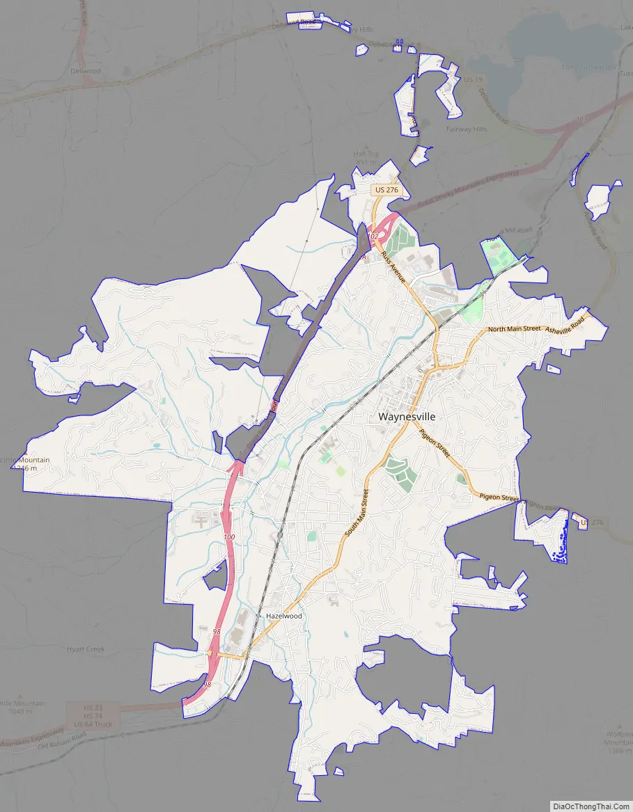
Waynesville Road Map
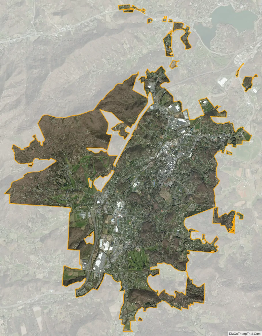
Waynesville city Satellite Map
Geography
Waynesville is located southwest of the center of Haywood County at 35°29′00″N 82°59′40″W / 35.483226°N 82.994511°W / 35.483226; -82.994511 (35.483226, −82.994511), in the valley of Richland Creek, a tributary of the Pigeon River. U.S. Routes 23 and 74 (the Great Smoky Mountains Expressway) form a bypass along the northwestern side of the town, with access from Exits 98 through 102. The highways lead northeast to Asheville and southwest 18 miles (29 km) to Sylva. U.S. Route 276 passes through the center of Waynesville, following (from north to south) Russ Avenue, Walnut Street, Main Street, and Pigeon Street. US-276 leads north 5 miles (8 km) to Dellwood and southeast over Wagon Road Gap 39 miles (63 km) to Brevard
According to the United States Census Bureau, the town has a total area of 8.9 square miles (23.1 km), all land.
Most of the town of Waynesville lies between 2,600 and 3,000 feet (790 and 910 m) above sea level, in a valley among 5,000-to-6,410-foot (1,520 to 1,950 m) mountain peaks. With the high Great Balsam Mountains to the west-southwest, and the Plott Balsams to the west-northwest, a handful of peaks over 6000′ in elevation are clearly visible from town. A USGS survey marker at the old Haywood County Courthouse in downtown Waynesville lists the elevation as 2,752 feet (839 m) above sea level.
See also
Map of North Carolina State and its subdivision:- Alamance
- Alexander
- Alleghany
- Anson
- Ashe
- Avery
- Beaufort
- Bertie
- Bladen
- Brunswick
- Buncombe
- Burke
- Cabarrus
- Caldwell
- Camden
- Carteret
- Caswell
- Catawba
- Chatham
- Cherokee
- Chowan
- Clay
- Cleveland
- Columbus
- Craven
- Cumberland
- Currituck
- Dare
- Davidson
- Davie
- Duplin
- Durham
- Edgecombe
- Forsyth
- Franklin
- Gaston
- Gates
- Graham
- Granville
- Greene
- Guilford
- Halifax
- Harnett
- Haywood
- Henderson
- Hertford
- Hoke
- Hyde
- Iredell
- Jackson
- Johnston
- Jones
- Lee
- Lenoir
- Lincoln
- Macon
- Madison
- Martin
- McDowell
- Mecklenburg
- Mitchell
- Montgomery
- Moore
- Nash
- New Hanover
- Northampton
- Onslow
- Orange
- Pamlico
- Pasquotank
- Pender
- Perquimans
- Person
- Pitt
- Polk
- Randolph
- Richmond
- Robeson
- Rockingham
- Rowan
- Rutherford
- Sampson
- Scotland
- Stanly
- Stokes
- Surry
- Swain
- Transylvania
- Tyrrell
- Union
- Vance
- Wake
- Warren
- Washington
- Watauga
- Wayne
- Wilkes
- Wilson
- Yadkin
- Yancey
- Alabama
- Alaska
- Arizona
- Arkansas
- California
- Colorado
- Connecticut
- Delaware
- District of Columbia
- Florida
- Georgia
- Hawaii
- Idaho
- Illinois
- Indiana
- Iowa
- Kansas
- Kentucky
- Louisiana
- Maine
- Maryland
- Massachusetts
- Michigan
- Minnesota
- Mississippi
- Missouri
- Montana
- Nebraska
- Nevada
- New Hampshire
- New Jersey
- New Mexico
- New York
- North Carolina
- North Dakota
- Ohio
- Oklahoma
- Oregon
- Pennsylvania
- Rhode Island
- South Carolina
- South Dakota
- Tennessee
- Texas
- Utah
- Vermont
- Virginia
- Washington
- West Virginia
- Wisconsin
- Wyoming