Brunswick County is the southernmost county in the U.S. state of North Carolina. As of the 2020 census, the population was 136,693. Its population was only 73,143 in 2000, making it one of the fastest-growing counties in the state. With a nominal growth rate of approximately 47% in ten years, much of the growth is centered in the eastern section of the county in the suburbs of Wilmington such as Leland, Belville and Southport. A 2019 estimated population of 142,820 makes Brunswick the fourth-fastest-growing county in the country. The county seat is Bolivia, which at a population of around 150 people is among the least populous county seats in the state.
Brunswick County is included in the Myrtle Beach–Conway–North Myrtle Beach, SC-NC Metropolitan Statistical Area. It was formerly part of the Wilmington, NC Metropolitan Statistical Area. Brunswick County and Wilmington area leaders disputed the change, but unsuccessfully.
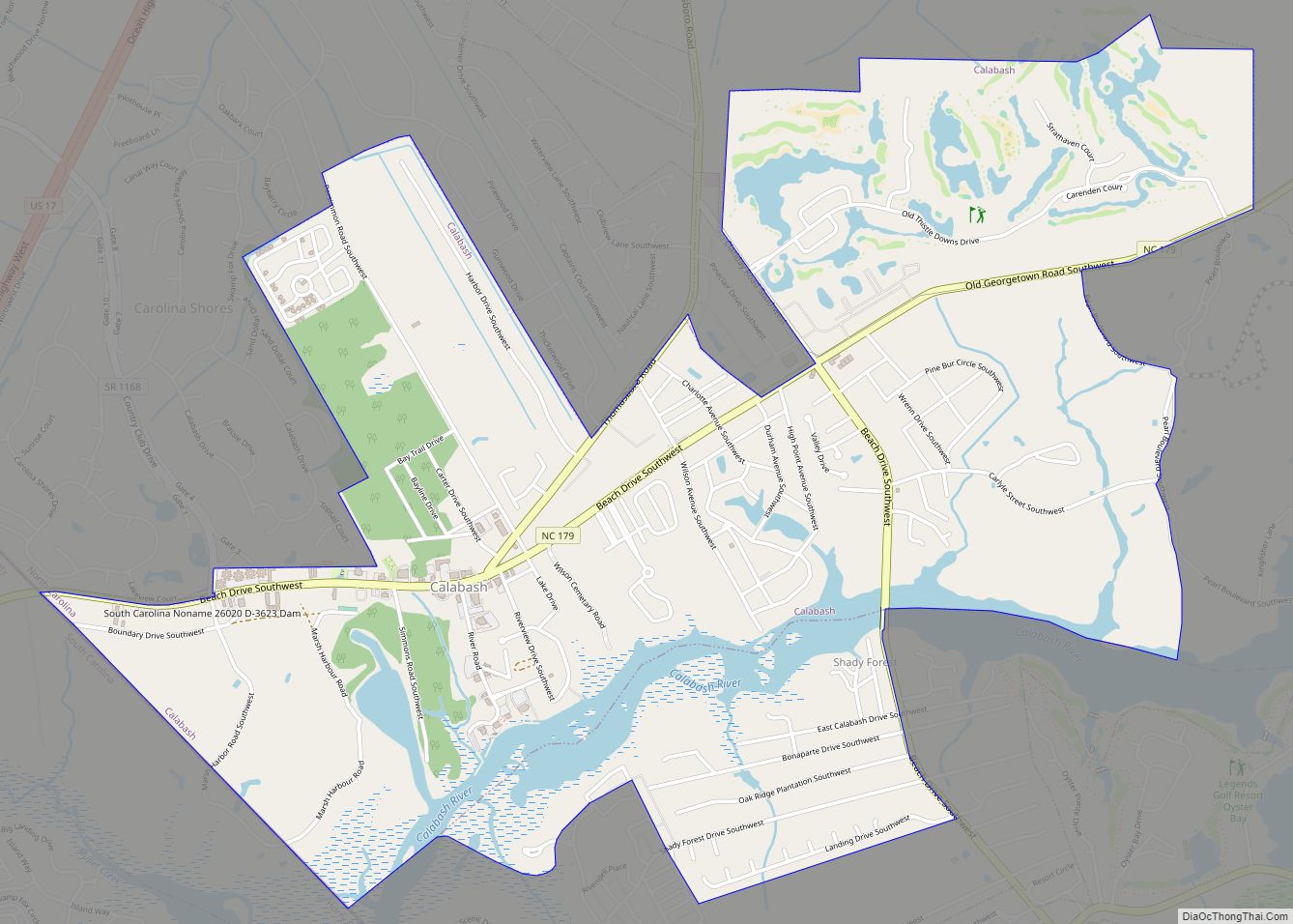
Much of the economy of the county is built around tourism, with beach communities lying along the south-facing beaches past Cape Fear such as Bald Head Island (the southernmost point of North Carolina) and Oak Island being popular destinations. Calabash, on the border of South Carolina, is renowned for its fried seafood, with “Calabash-style” restaurants dotting the region. The proximity to EUE/Screen Gems Studios in nearby Wilmington has made Brunswick County a popular filming location for many movies and TV shows.
| Name: | Brunswick County |
|---|---|
| FIPS code: | 37-019 |
| State: | North Carolina |
| Founded: | March 9, 1764 |
| Named for: | Duchy of Brunswick-Lüneburg |
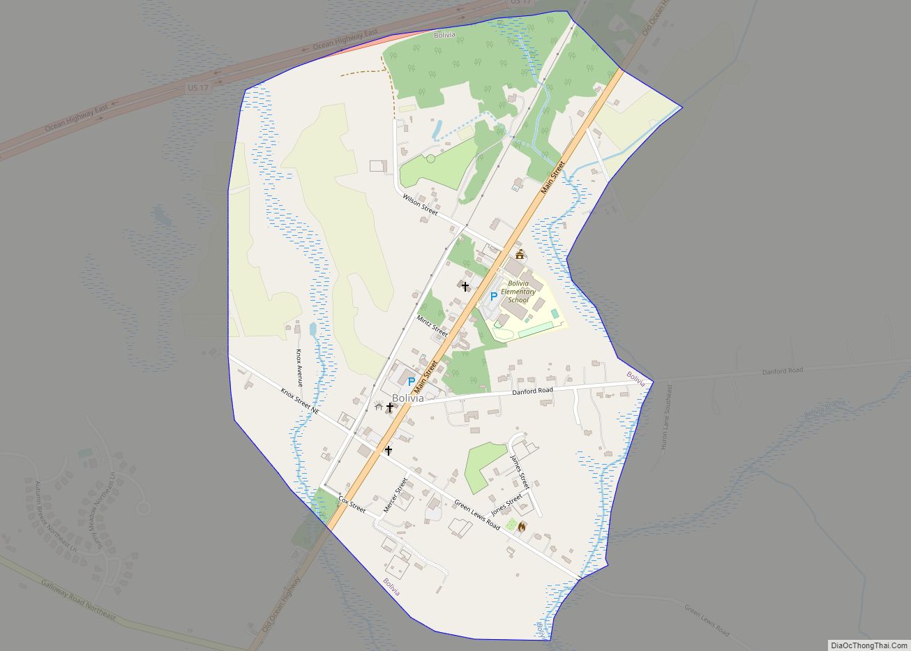
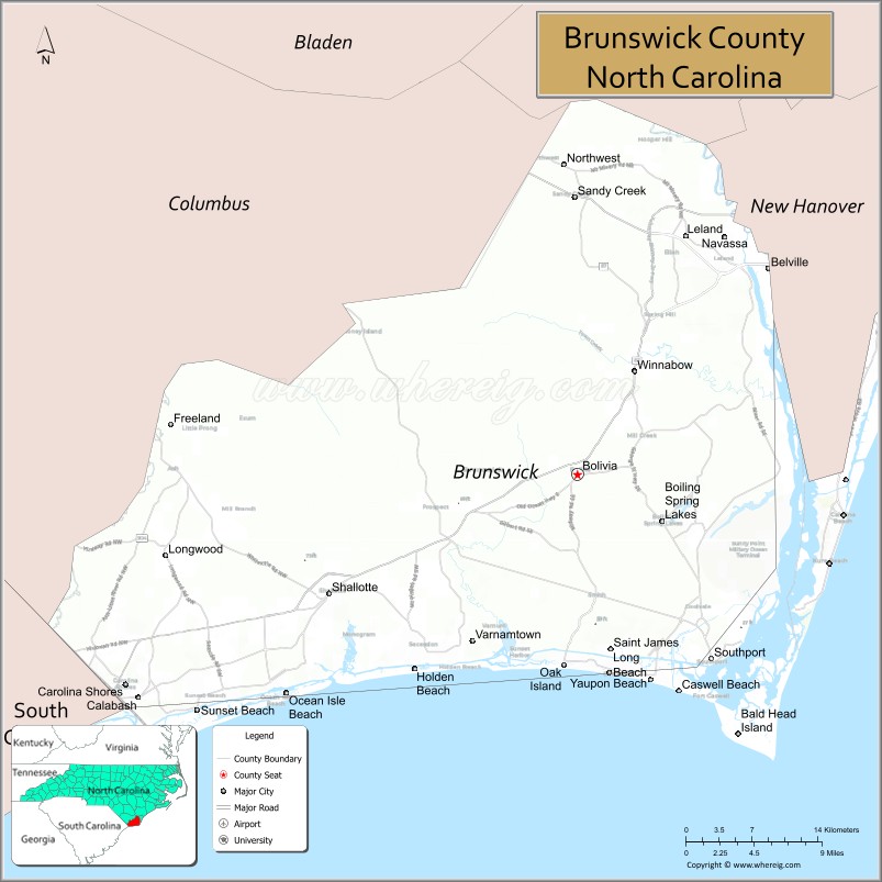
| Seat: | Bolivia |
| Largest city: | Leland |
| Total Area: | 1,050 sq mi (2,700 km²) |
| Land Area: | 847 sq mi (2,190 km²) |
| Total Population: | 136,693 |
| Population Density: | 130/sq mi (50/km²) |
| Time zone: | UTC−5 (Eastern) |
| Summer Time Zone (DST): | UTC−4 (EDT) |
| Website: | www.brunswickcountync.gov |
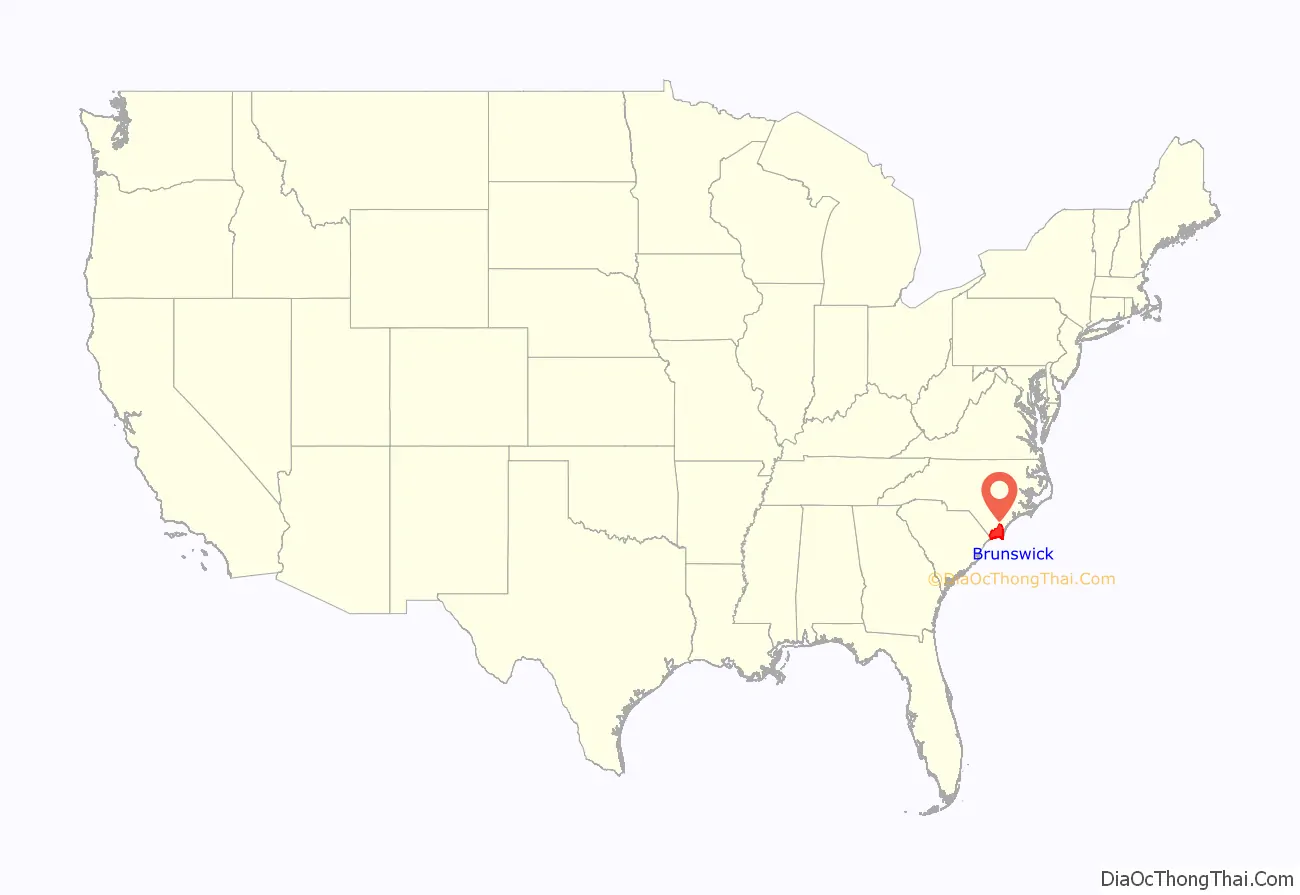
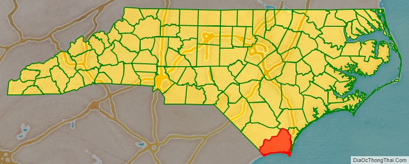
Brunswick County location map. Where is Brunswick County?
History
The county was formed in 1764 from parts of Bladen County and New Hanover County. It was named for the colonial port of Brunswick Town (now in ruins) which itself was named for Duchy of Brunswick-Lüneburg; at the time held by the British kings of the House of Hanover.
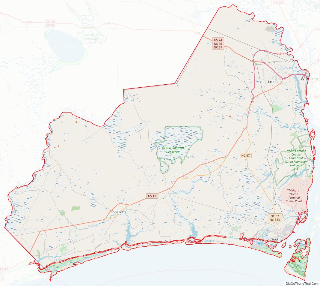
Brunswick County Road Map
Geography
According to the U.S. Census Bureau, the county has a total area of 1,050 square miles (2,700 km), of which 847 square miles (2,190 km) is land and 203 square miles (530 km) (19%) is water. It is the fourth-largest county in North Carolina by total area. The Brunswick River and the Cape Fear River provide access to the Atlantic Ocean.
The Brunswick Nuclear Generating Station is to the north of Southport.
Hydrogeology
The principal ground-water-supply sources for Brunswick County are the surficial aquifer for domestic supplies and the Castle Hayne aquifer for municipal supplies.
Beaches
- Caswell Beach
- Holden Beach
- Long Beach
- Ocean Isle Beach
- Sunset Beach
- Yaupon Beach
Islands
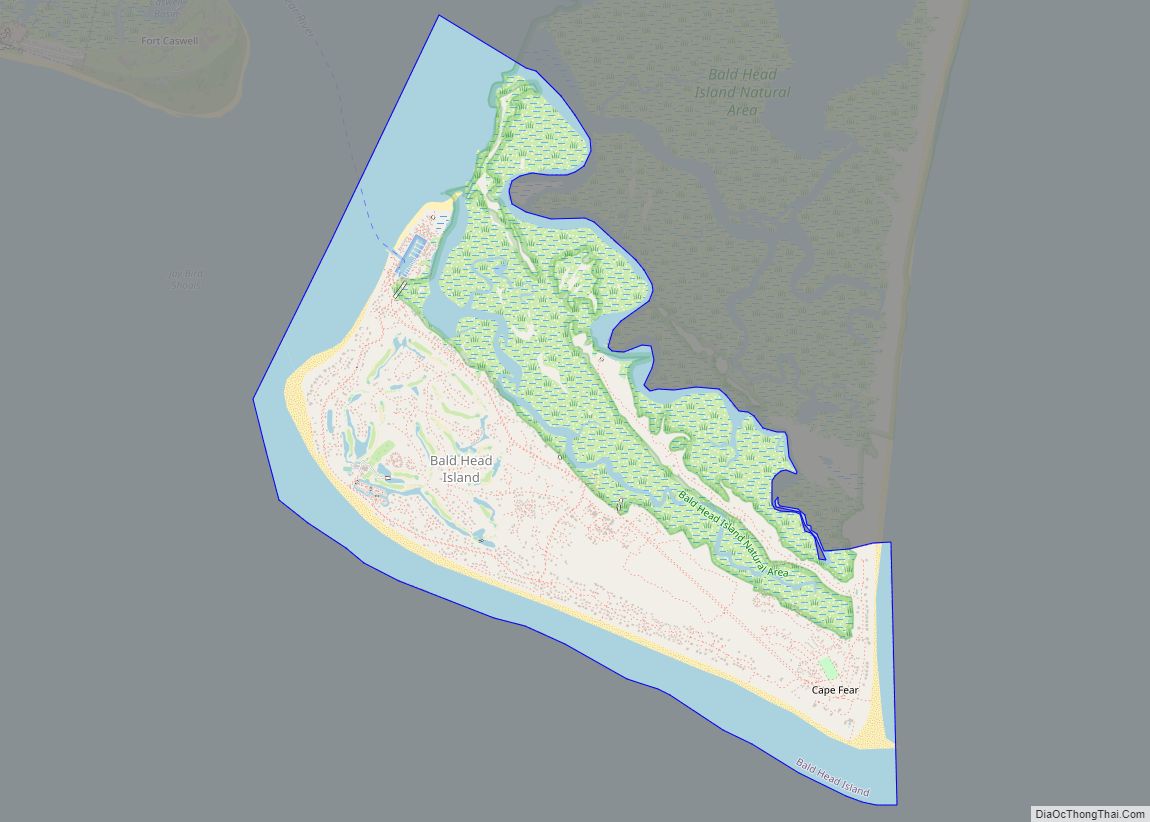
- Bald Head Island
- Bird Island
- Oak Island
Major water bodies
- Alligator Creek
- Atlantic Ocean
- Black River, home of the oldest documented Taxodium distichum (bald cypress) at 2,648 years old, located in Bladen County
- Brunswick River
- Cape Fear River
- Elizabeth River
- Frying Pan Shoals
- Intracoastal Waterway
- Lockwood Folly River
- Little River
- Long Bay
- North Lake
- Northeast Cape Fear River
- Onslow Bay
- Orton Pond
- Patricia Lake
- Saucepan Creek
- Shallotte River
- Waccamaw River
State and local protected area/sites
- Bald Head Island Natural Area
- Bald Head Woods Maritime Forest Preserve
- Bird Island Reserve
- Brunswick Nature Park
- Brunswick Town/Fort Anderson State Historic Site
- Ev-Henwood Nature Preserve
- Green Swamp Preserve (part)
- Myrtle Head Savanna
- Oak Island Lighthouse
- Old Baldy Lighthouse and Smith Island Museum
- Orton Creek Preserve
- South of Onslow County Mechanical Harvesting of Oysters Prohibited Area (part)
- Zekes Island Estuarine Reserve Dedicated Nature Preserve (part)
- Zeke’s Island Reserve (part)
Adjacent counties
- Pender County – north
- New Hanover County – east
- Columbus County – west-northwest
- Horry County, South Carolina – west
Major highways
- Future I-74 (Concurrency with US 74/76, NC 211, and US 17)
- I-140 / NC 140
- US 17
- US 17 Bus. (Bolivia)
- US 17 Bus. (Shallotte)
- US 74
- US 76
- US 421
- NC 87
- NC 130
- NC 130 Bus.
- NC 133
- NC 179
- NC 179 Bus.
- NC 211
- NC 904
- NC 906
Major infrastructure
- Cape Fear Regional Jetport, near Oak Island
- Fort Fisher – Southport Ferry (To New Hanover County)
- MCAS Sunny Point, military base and terminal near Southport.
- Odell Williamson Municipal Airport
- Southport – Bald Head Island Ferry, Private ferry that services Bald Head Island.
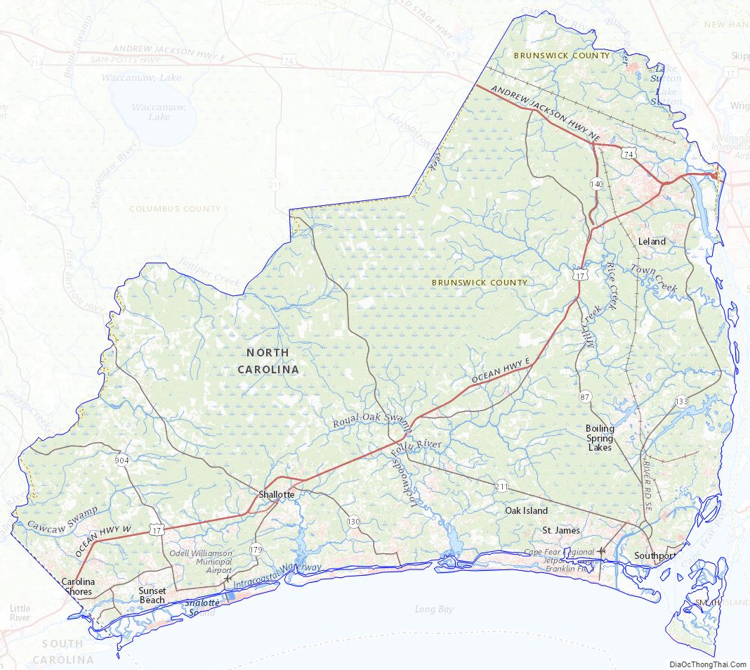
Brunswick County Topographic Map
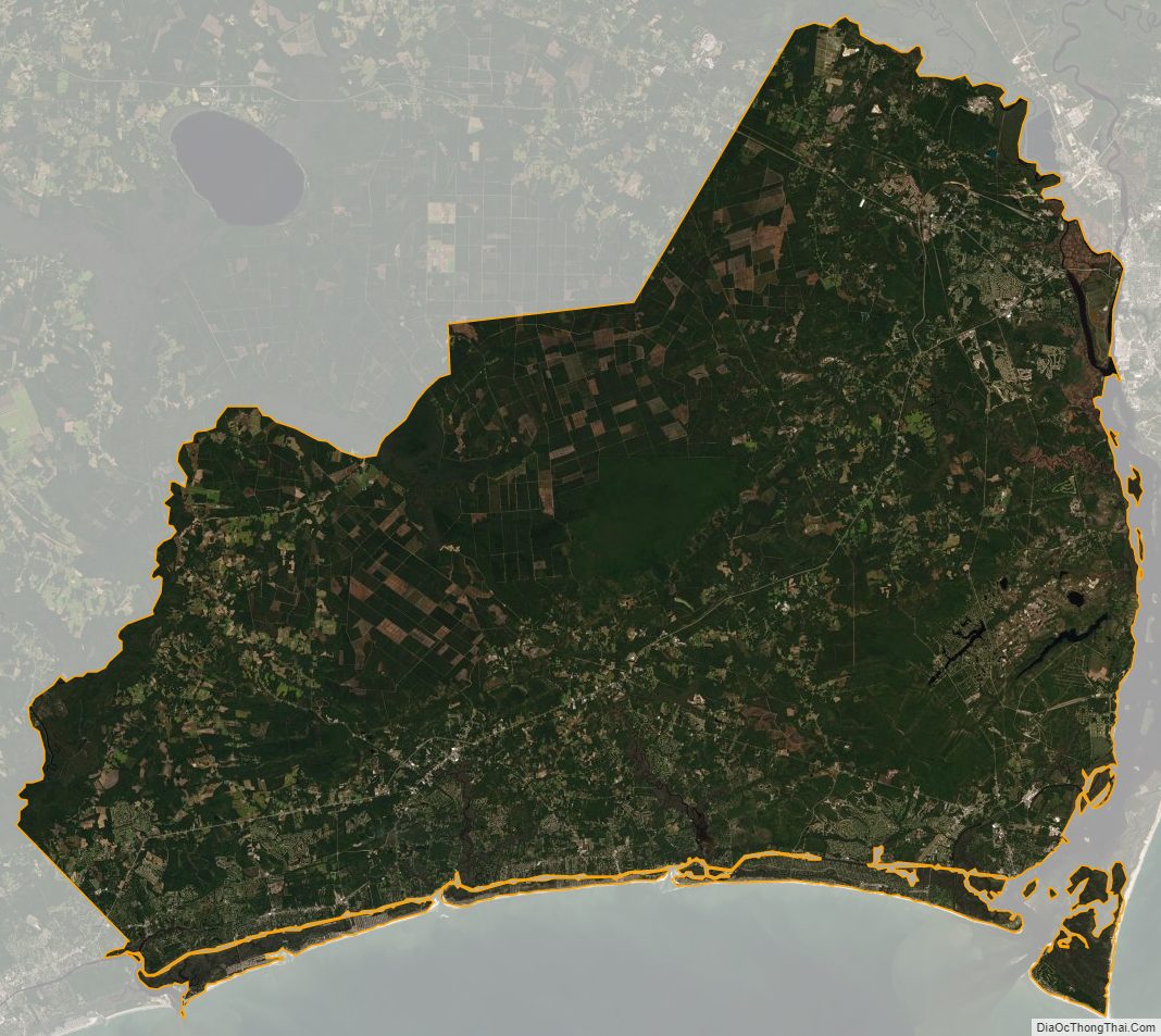
Brunswick County Satellite Map
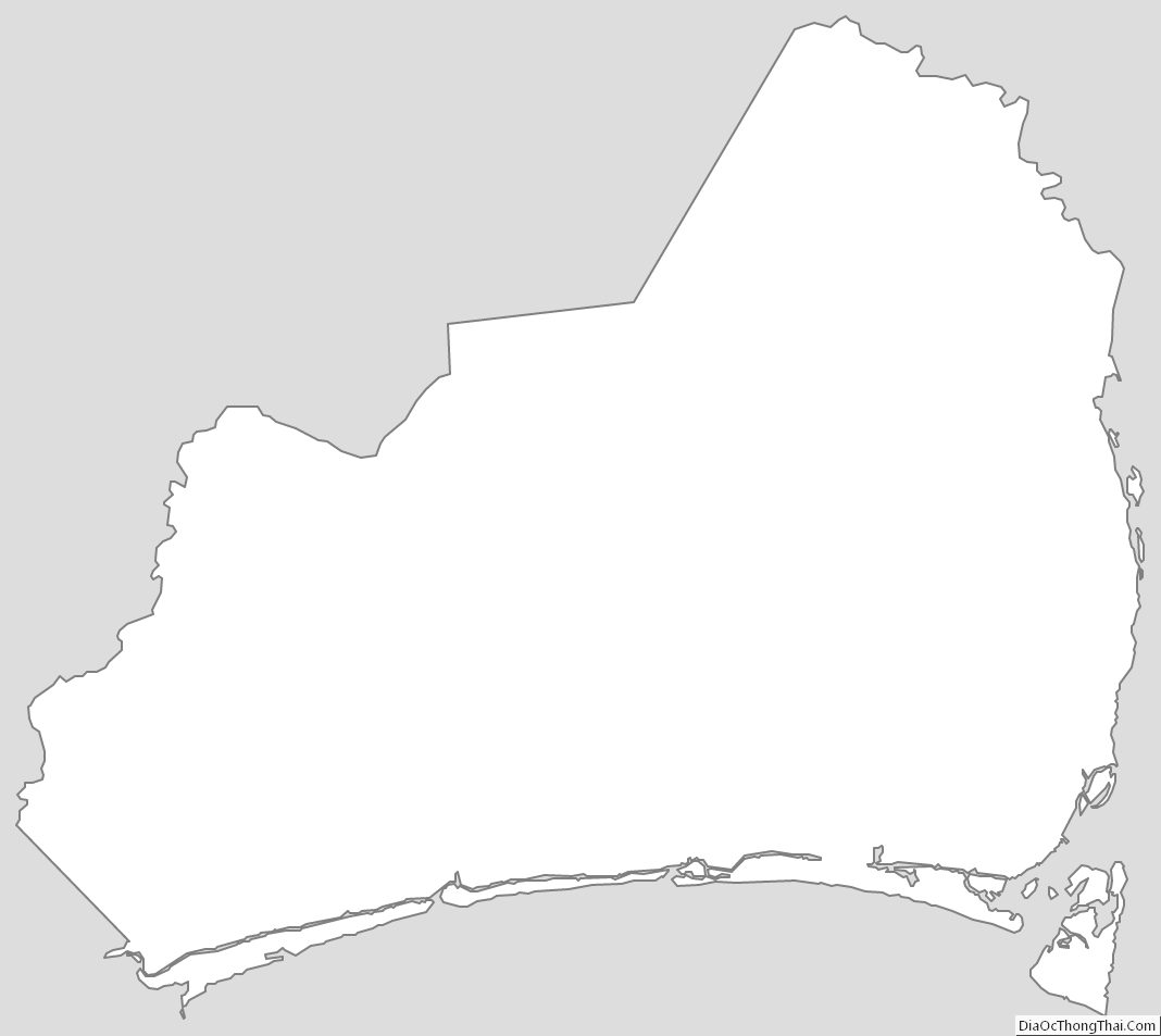
Brunswick County Outline Map