Polk County is a county located in the U.S. state of Arkansas. As of the 2020 census, the population was 19,221. The county seat is Mena. Polk County is Arkansas’s 48th county, formed on November 30, 1844; it was named for James K. Polk, 11th President of the United States.
| Name: | Polk County |
|---|---|
| FIPS code: | 05-113 |
| State: | Arkansas |
| Founded: | November 30, 1844 |
| Named for: | James K. Polk |
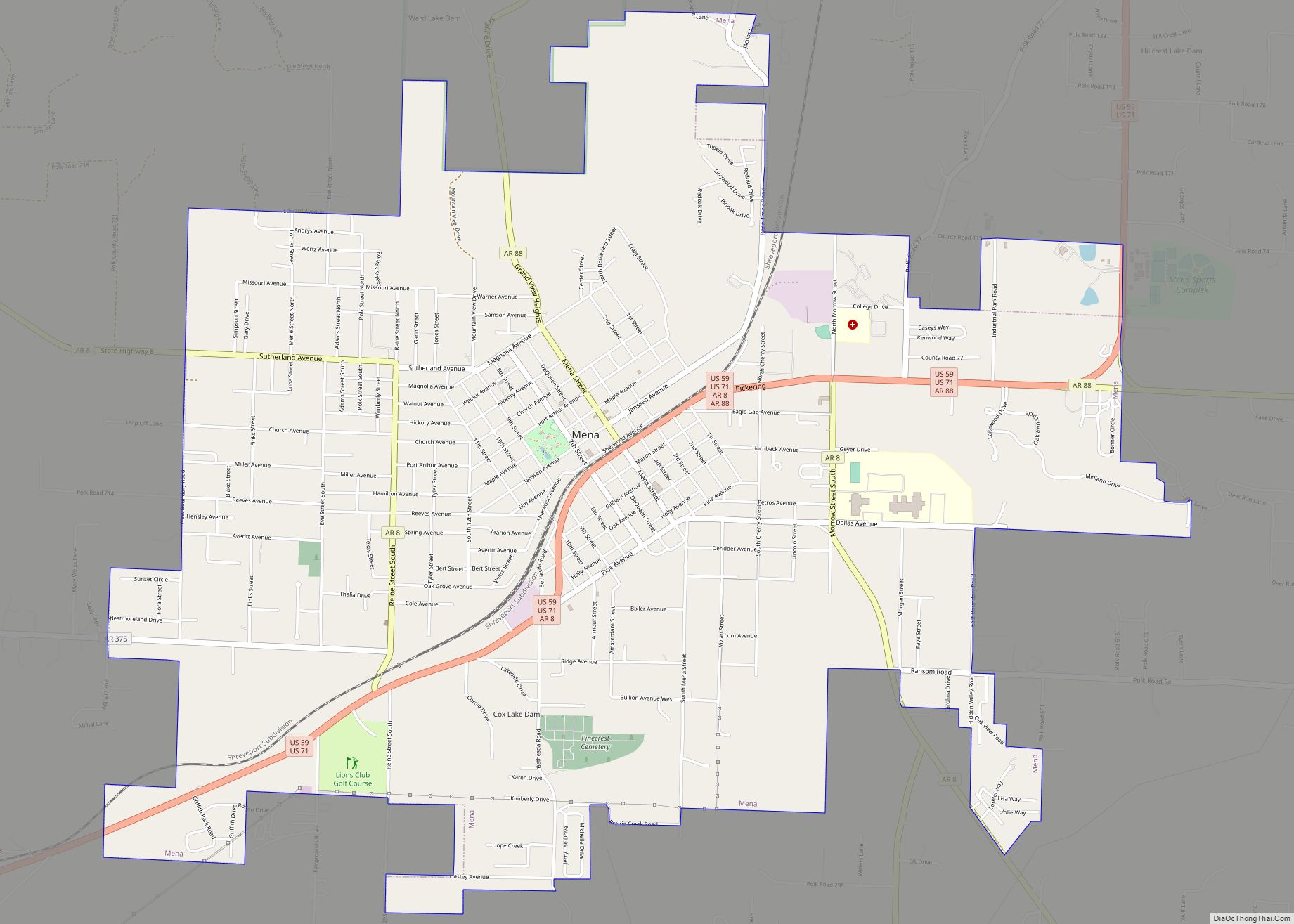
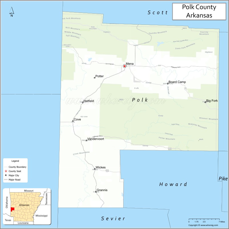
| Seat: | Mena |
| Largest city: | Mena |
| Total Area: | 862 sq mi (2,230 km²) |
| Land Area: | 858 sq mi (2,220 km²) |
| Total Population: | 19,221 |
| Population Density: | 22/sq mi (8.6/km²) |
| Time zone: | UTC−6 (Central) |
| Summer Time Zone (DST): | UTC−5 (CDT) |
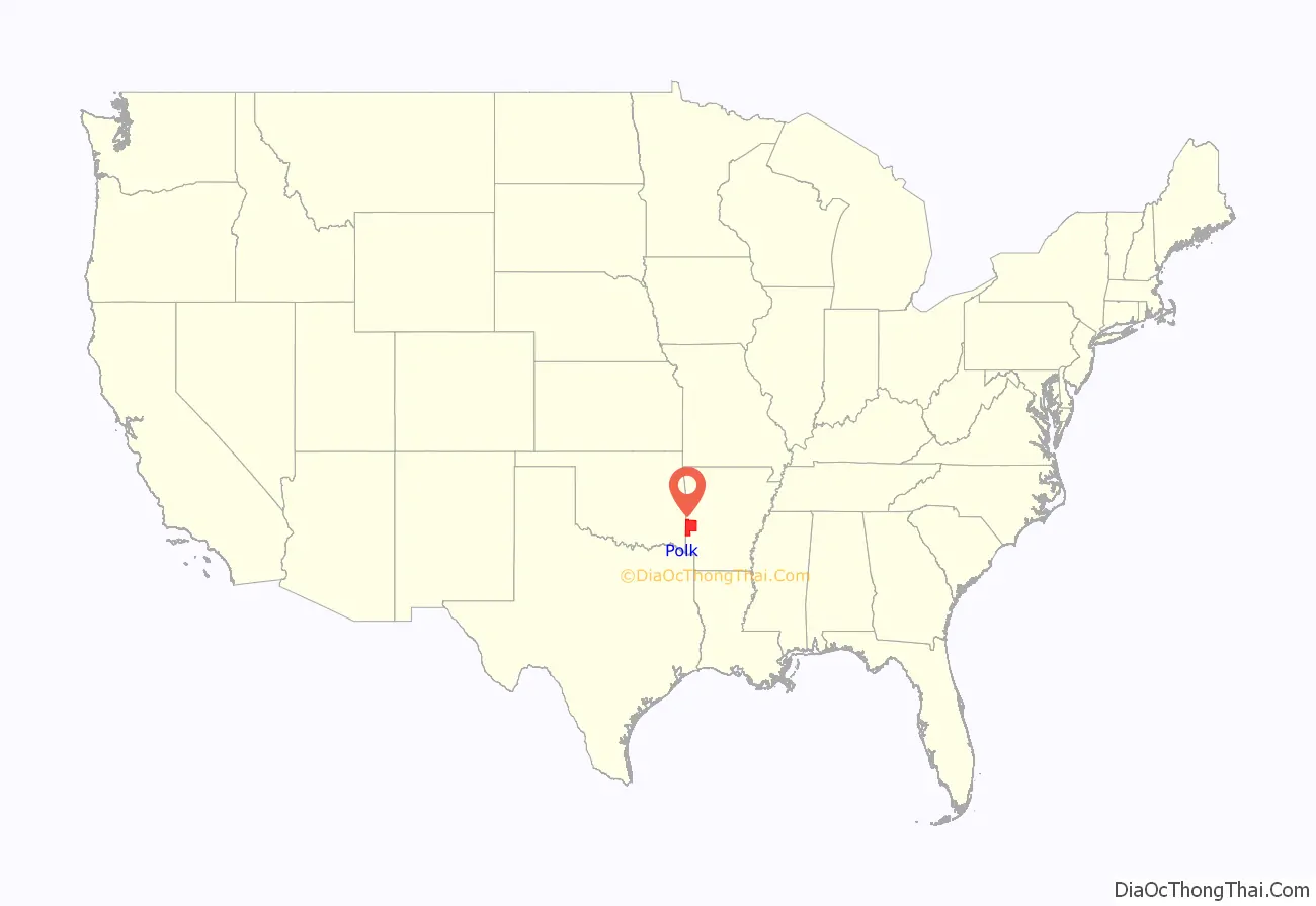
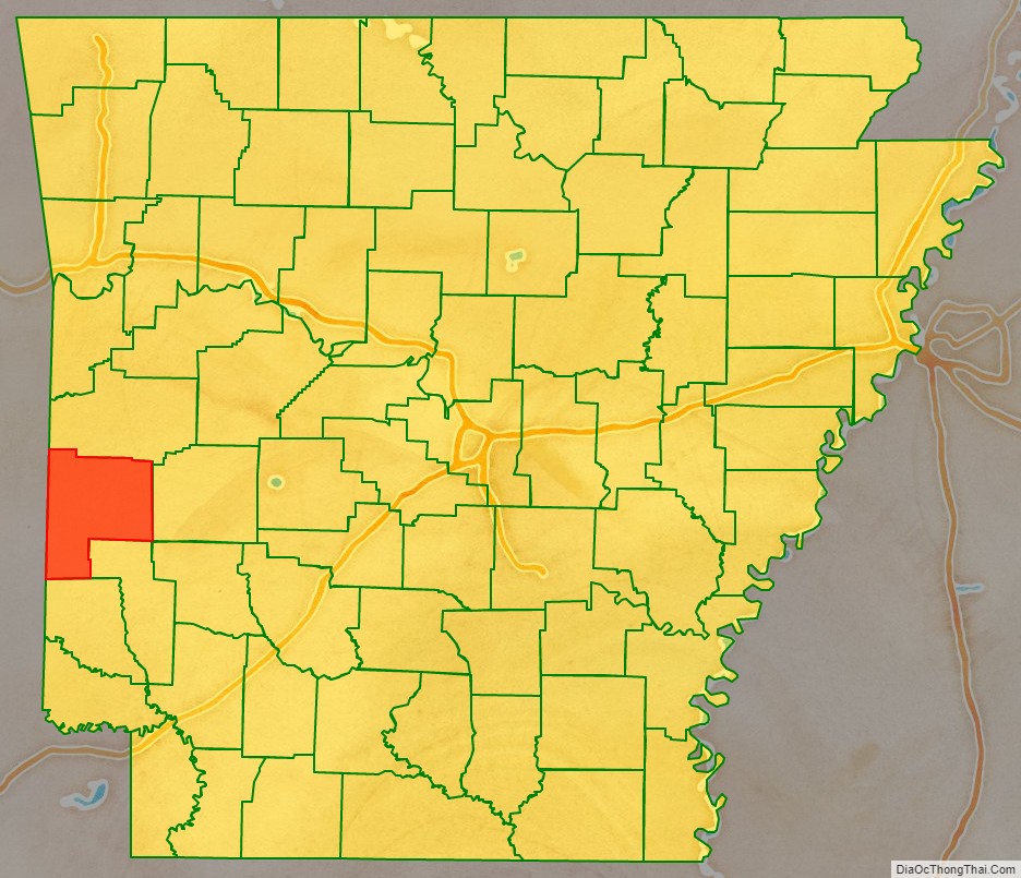
Polk County location map. Where is Polk County?
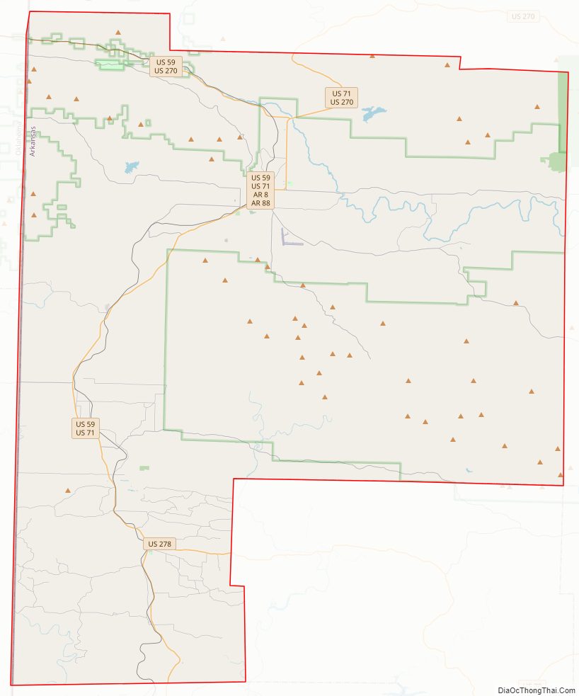
Polk County Road Map
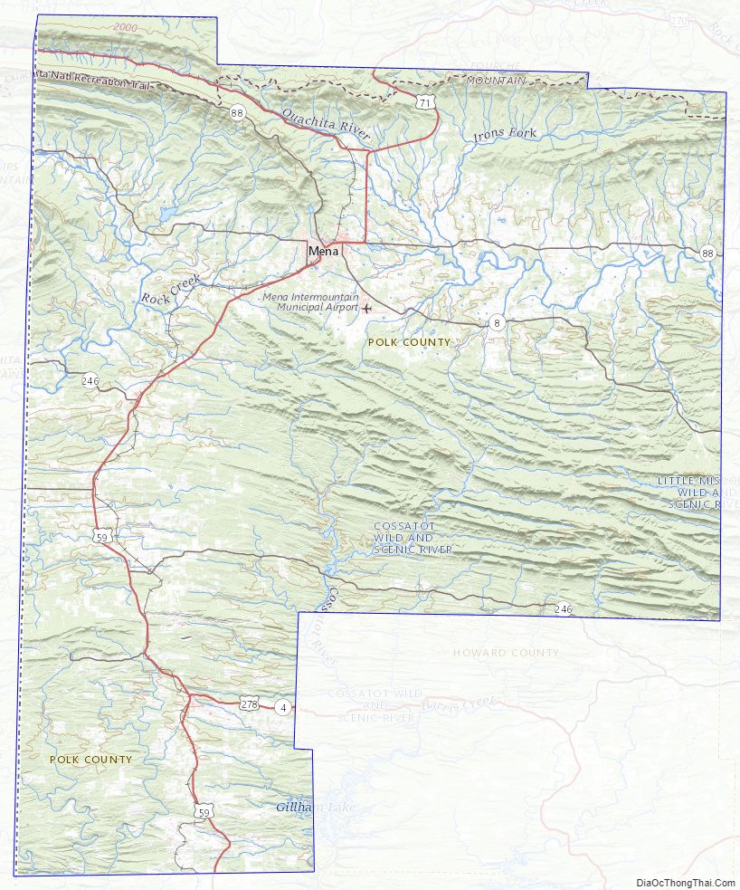
Geography
According to the U.S. Census Bureau, the county has a total area of 862 square miles (2,230 km), of which 858 square miles (2,220 km) is land and 4.8 square miles (12 km) (0.6%) is water.
Major highways
- Future Interstate 49
- U.S. Highway 59
- U.S. Highway 71
- U.S. Highway 270
- U.S. Highway 278
- Highway 4
- Highway 8
- Highway 84
- Highway 88
Adjacent counties
- Scott County (north)
- Montgomery County (east)
- Howard County (southeast)
- Sevier County (south)
- McCurtain County, Oklahoma (southwest)
- Le Flore County, Oklahoma (northwest)
National protected area
- Ouachita National Forest (part)
Polk County Topographic Map
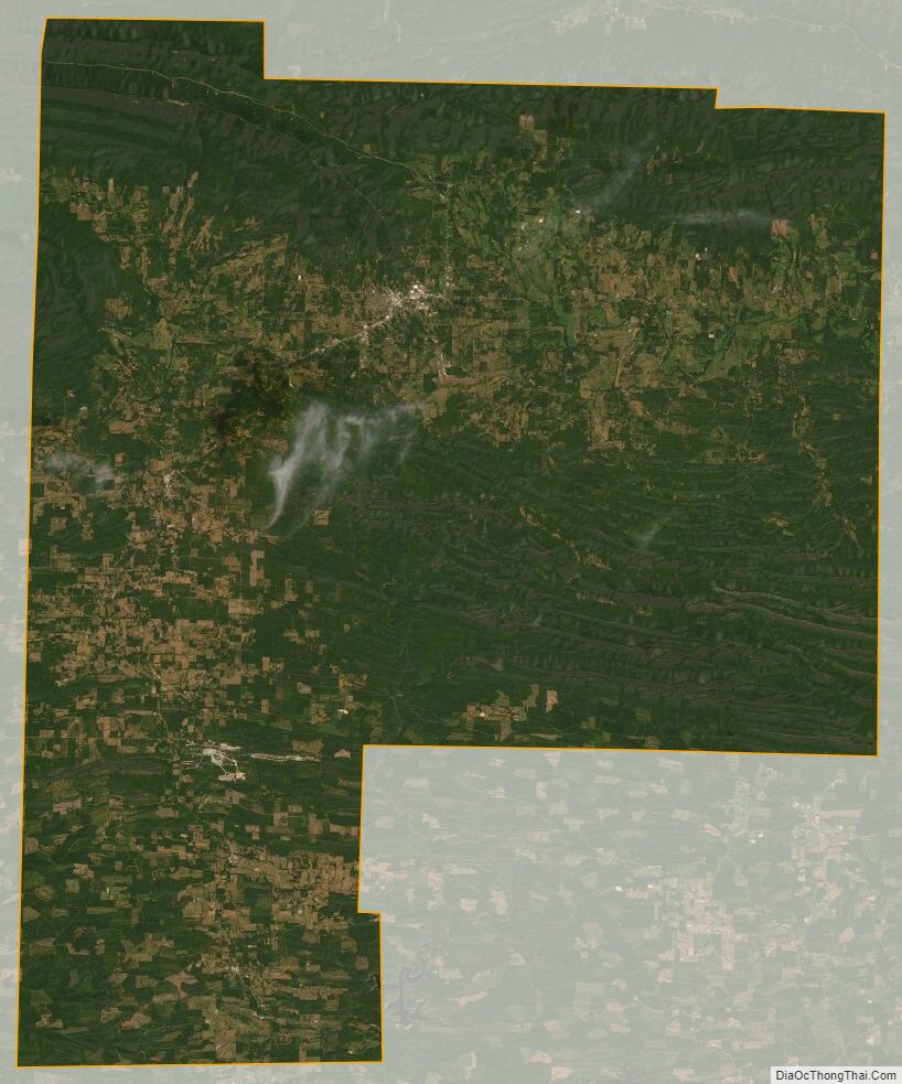
Polk County Satellite Map
Polk County Outline Map