Nashville is a city in Howard County, Arkansas, United States. The population was 4,627 at the 2010 census. The estimated population in 2018 was 4,425. The city is the county seat of Howard County.
Nashville is situated at the base of the Ouachita foothills and was once a major center of the peach trade in southwest Arkansas. Today the land is mostly given over to cattle and chicken farming. The world’s largest dinosaur trackway was discovered near the town in 1983.
| Name: | Nashville city |
|---|---|
| LSAD Code: | 25 |
| LSAD Description: | city (suffix) |
| State: | Arkansas |
| County: | Howard County |
| Elevation: | 381 ft (116 m) |
| Total Area: | 5.52 sq mi (14.29 km²) |
| Land Area: | 5.47 sq mi (14.17 km²) |
| Water Area: | 0.04 sq mi (0.12 km²) |
| Total Population: | 4,153 |
| Population Density: | 759.09/sq mi (293.11/km²) |
| ZIP code: | 71852 |
| Area code: | 870 |
| FIPS code: | 0548560 |
| GNISfeature ID: | 0077792 |
| Website: | www.nashar.org |
Online Interactive Map
Click on ![]() to view map in "full screen" mode.
to view map in "full screen" mode.
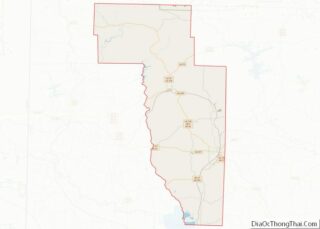
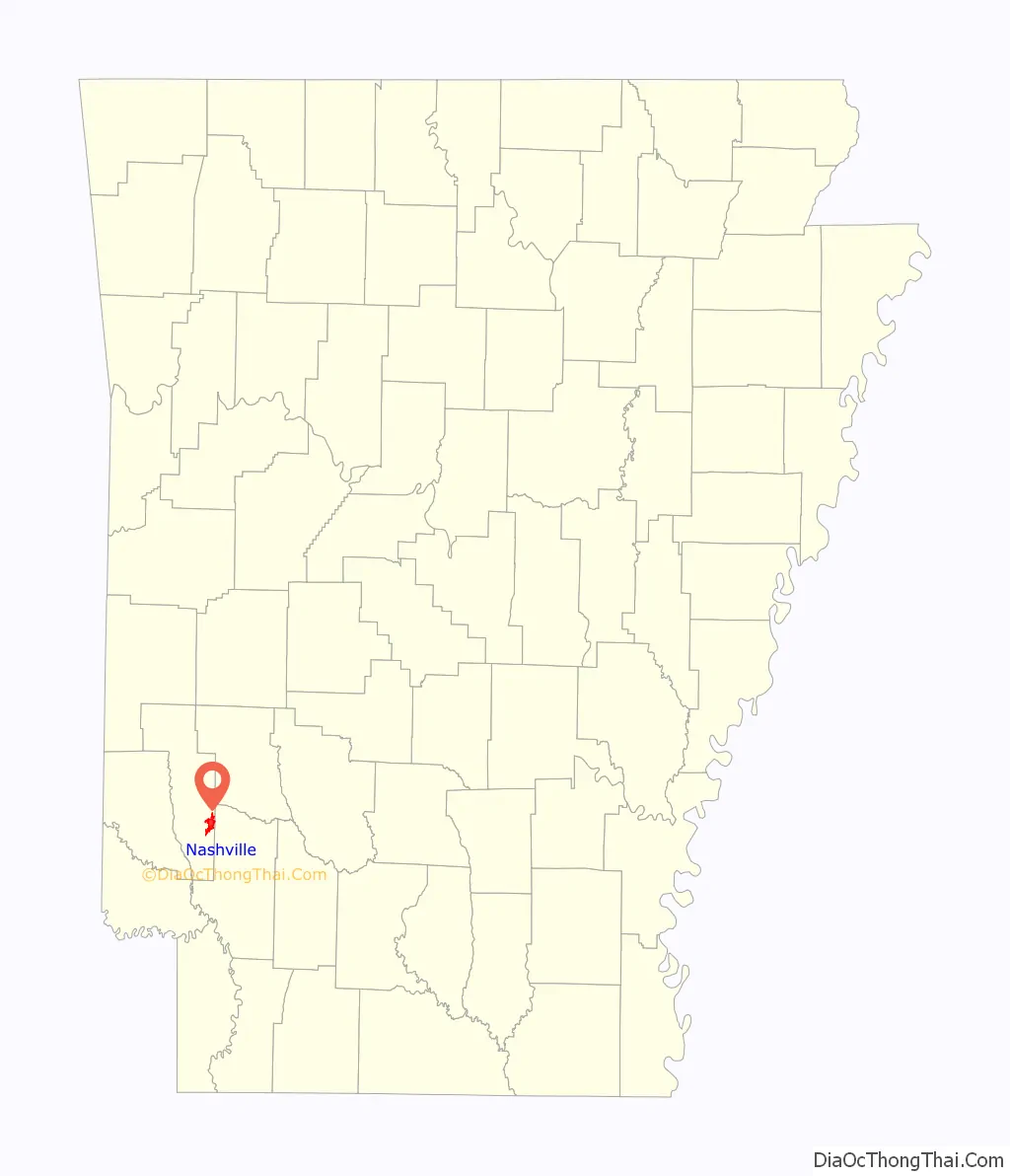
Nashville location map. Where is Nashville city?

History
Mine Creek Baptist Church was built along the banks of Mine Creek by the Rev. Isaac Cooper Perkins (1790–1852) in the area where Nashville now stands around 1835. Settlers later established a post stop along the settlement roads in 1840, and a post office incorporated in 1848. Michael Womack (1794–1861), a Tennessee native reputed to have killed the British general Edward Pakenham during the War of 1812, settled in the area with his family in 1849. The area was then known by locals as “Mine Creek”, but was also called “Hell’s Valley” and “Pleasant Valley”.
Settlement in the area progressed slowly but steadily, though industry declined during the Civil War. Following the war, the village’s prospects improved, industry and settlement picked up, and the town was officially incorporated as Nashville on 18 October 1883, with D.A. Hutchinson serving as the first mayor. Womack is attributed with first proposing the name and called the town after Nashville, Tennessee. The following year, Nashville and Hope were connected via railroad, spurring further growth, and the county seat was relocated from Center Point to Nashville. With the establishment of county government in the town, and due to the increased trade and access brought by the railroad, Nashville continued to grow. The town had a population of 928 in 1900, and boasted “a cotton-compress and gin” and a “bottling-works”; by 1920 the population had risen to 2,144.
In the years before the Great Depression, Nashville was a prosperous, if small, town. According to author Dallas Tabor Herndon, Nashville was “a banking town, with electric lights, waterworks, an ice and cold storage plant, a canning factory, foundries, machine shops, a flour mill, two newspapers, a brick factory, fruit box and crate factory, mercantile concerns… well-kept streets, [and] modern public schools.”
An EF2 tornado struck the town on May 10, 2015, and killed two people.
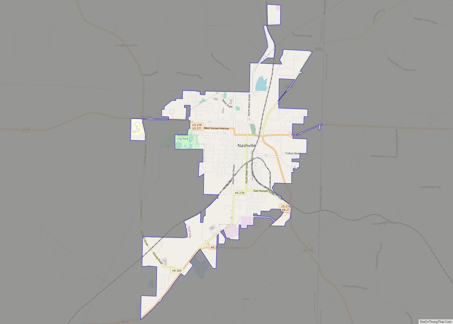
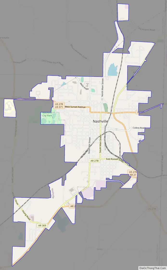
Nashville Road Map
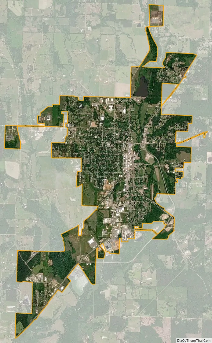
Nashville city Satellite Map
Geography
Nashville is located in southeastern Howard County at 33°56′31″N 93°50′53″W / 33.94194°N 93.84806°W / 33.94194; -93.84806 (33.942079, −93.847958). U.S. Routes 278 and 371 run concurrently through the northern side of the city. US 371 leads east 34 miles (55 km) to Prescott and west 19 miles (31 km) to Lockesburg. US 278 leads northwest 19 miles (31 km) to Dierks and southeast 28 miles (45 km) to Hope. Arkansas Highway 27 joins US 278 in a bypass around the eastern side of Nashville; SR 27 leads northeast 13 miles (21 km) to Murfreesboro and southwest 8 miles (13 km) to Mineral Springs.
According to the United States Census Bureau, Nashville has a total area of 5.7 square miles (14.7 km), of which 0.04 square miles (0.1 km), or 0.76%, are water. The city is in the valley of Mine Creek, a south-flowing tributary of the Saline and Little rivers.
See also
Map of Arkansas State and its subdivision:- Arkansas
- Ashley
- Baxter
- Benton
- Boone
- Bradley
- Calhoun
- Carroll
- Chicot
- Clark
- Clay
- Cleburne
- Cleveland
- Columbia
- Conway
- Craighead
- Crawford
- Crittenden
- Cross
- Dallas
- Desha
- Drew
- Faulkner
- Franklin
- Fulton
- Garland
- Grant
- Greene
- Hempstead
- Hot Spring
- Howard
- Independence
- Izard
- Jackson
- Jefferson
- Johnson
- Lafayette
- Lawrence
- Lee
- Lincoln
- Little River
- Logan
- Lonoke
- Madison
- Marion
- Miller
- Mississippi
- Monroe
- Montgomery
- Nevada
- Newton
- Ouachita
- Perry
- Phillips
- Pike
- Poinsett
- Polk
- Pope
- Prairie
- Pulaski
- Randolph
- Saint Francis
- Saline
- Scott
- Searcy
- Sebastian
- Sevier
- Sharp
- Stone
- Union
- Van Buren
- Washington
- White
- Woodruff
- Yell
- Alabama
- Alaska
- Arizona
- Arkansas
- California
- Colorado
- Connecticut
- Delaware
- District of Columbia
- Florida
- Georgia
- Hawaii
- Idaho
- Illinois
- Indiana
- Iowa
- Kansas
- Kentucky
- Louisiana
- Maine
- Maryland
- Massachusetts
- Michigan
- Minnesota
- Mississippi
- Missouri
- Montana
- Nebraska
- Nevada
- New Hampshire
- New Jersey
- New Mexico
- New York
- North Carolina
- North Dakota
- Ohio
- Oklahoma
- Oregon
- Pennsylvania
- Rhode Island
- South Carolina
- South Dakota
- Tennessee
- Texas
- Utah
- Vermont
- Virginia
- Washington
- West Virginia
- Wisconsin
- Wyoming