Howard County is a county located in the US state of Iowa. As of the 2020 census, the population was 9,469. The county seat is Cresco. The county was founded in 1851; it was named for General Tilghman Ashurst Howard, a Representative of Indiana.
| Name: | Howard County |
|---|---|
| FIPS code: | 19-089 |
| State: | Iowa |
| Founded: | 1851 |
| Named for: | Tilghman Howard |
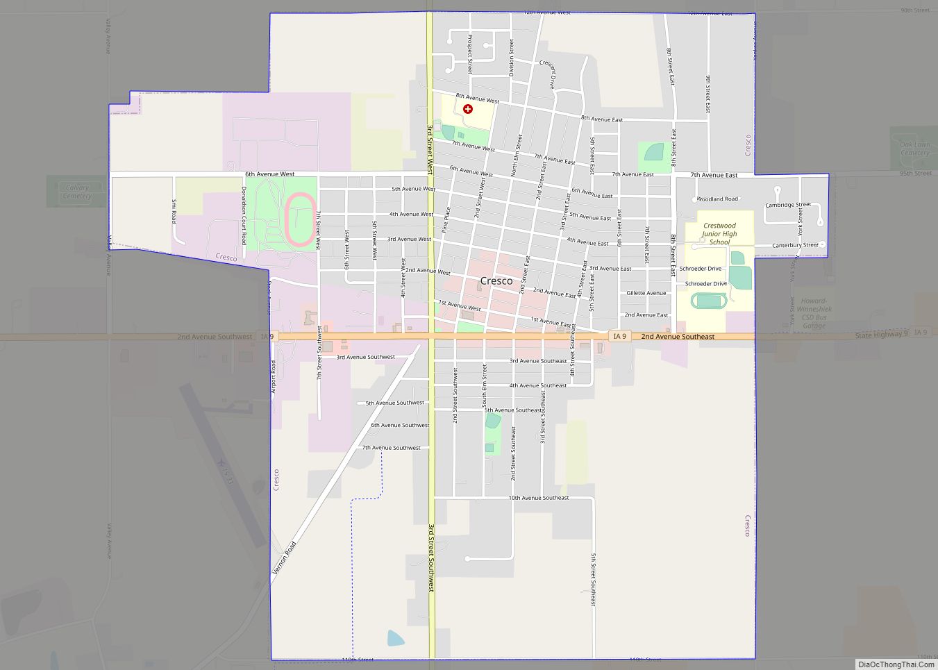
| Seat: | Cresco |
| Largest city: | Cresco |
| Total Area: | 474 sq mi (1,230 km²) |
| Land Area: | 473 sq mi (1,230 km²) |
| Total Population: | 9,469 |
| Population Density: | 20/sq mi (7.7/km²) |
| Time zone: | UTC−6 (Central) |
| Summer Time Zone (DST): | UTC−5 (CDT) |
| Website: | howardcounty.iowa.gov |
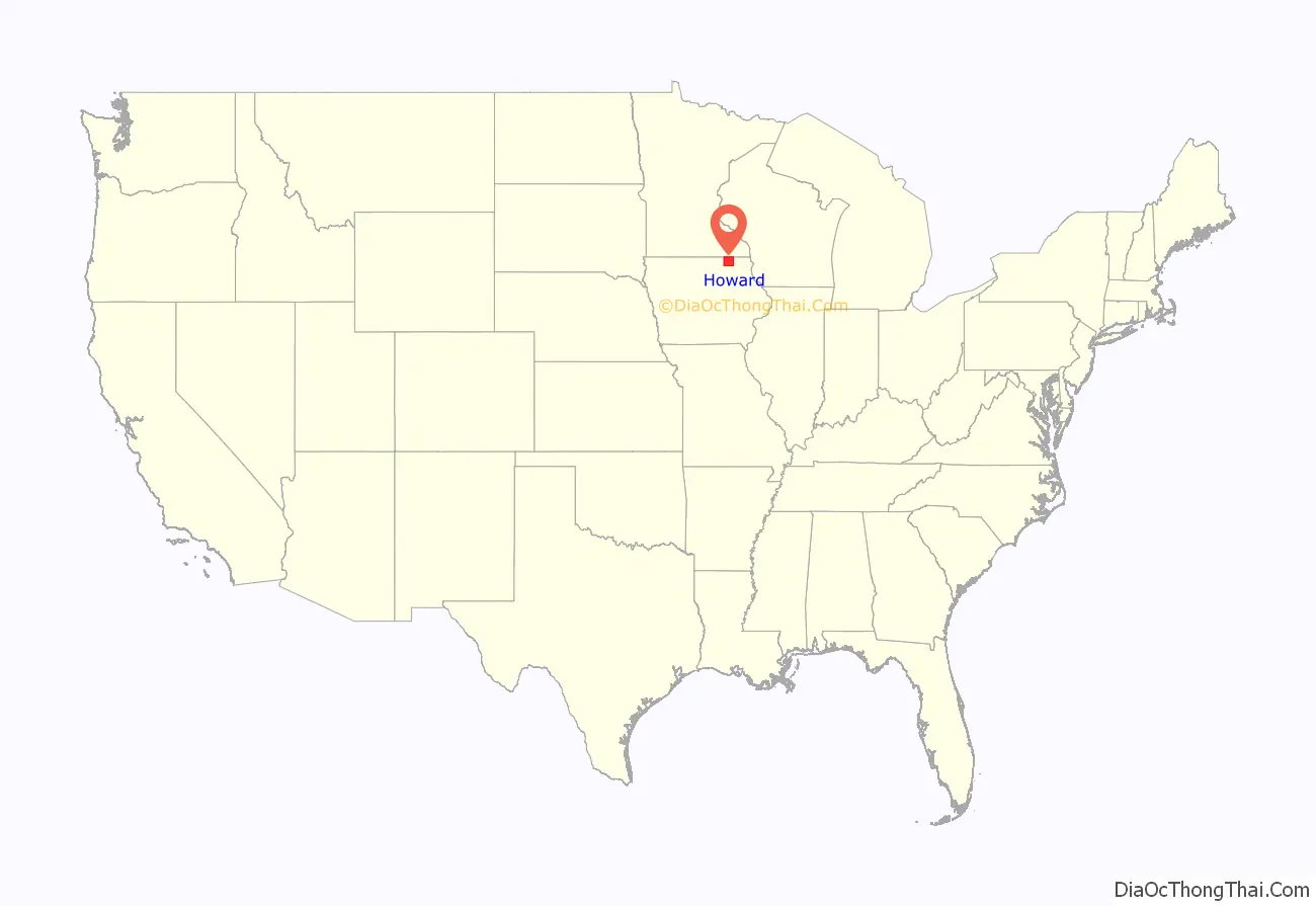
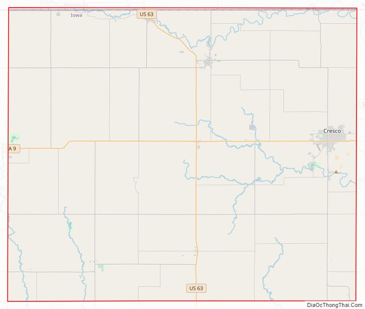
Howard County location map. Where is Howard County?
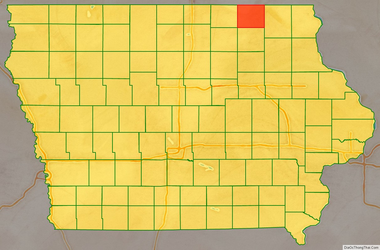
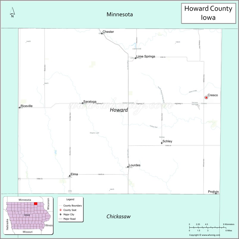
Howard County Road Map
Geography
According to the U.S. Census Bureau, the county has a total area of 474 square miles (1,230 km), of which 473 square miles (1,230 km) is land and 0.4 square miles (1.0 km) (0.08%) is water.
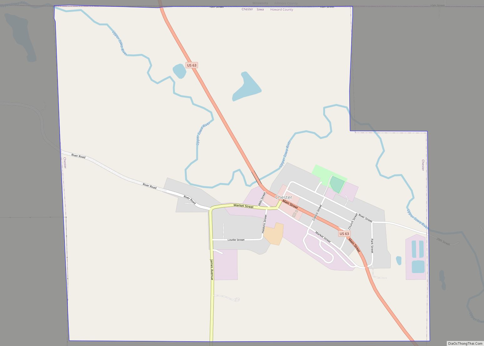
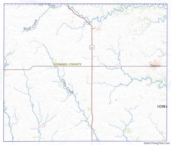
Major highways
- U.S. Highway 63
- Iowa Highway 9
- Iowa Highway 139
Adjacent counties
- Mower County, Minnesota (northwest)
- Fillmore County, Minnesota (north)
- Winnesheik County (east)
- Chickasaw County (south)
- Mitchell County (west)
- Floyd County (southwest)
Howard County Topographic Map
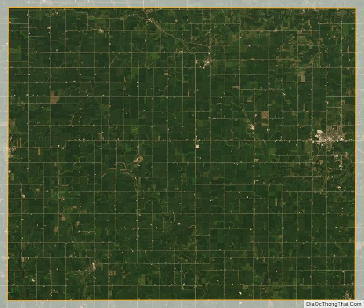
Howard County Satellite Map
Howard County Outline Map