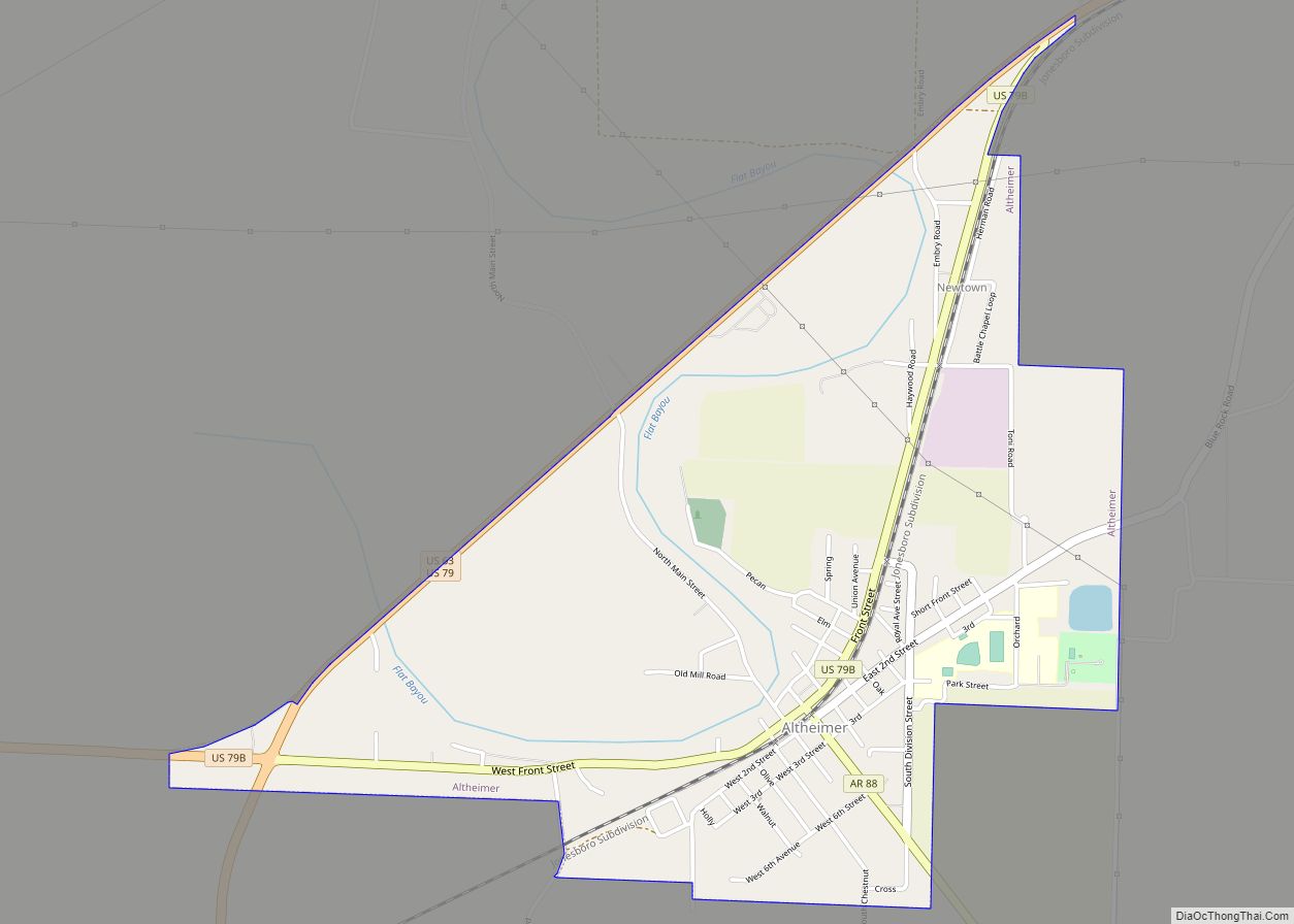
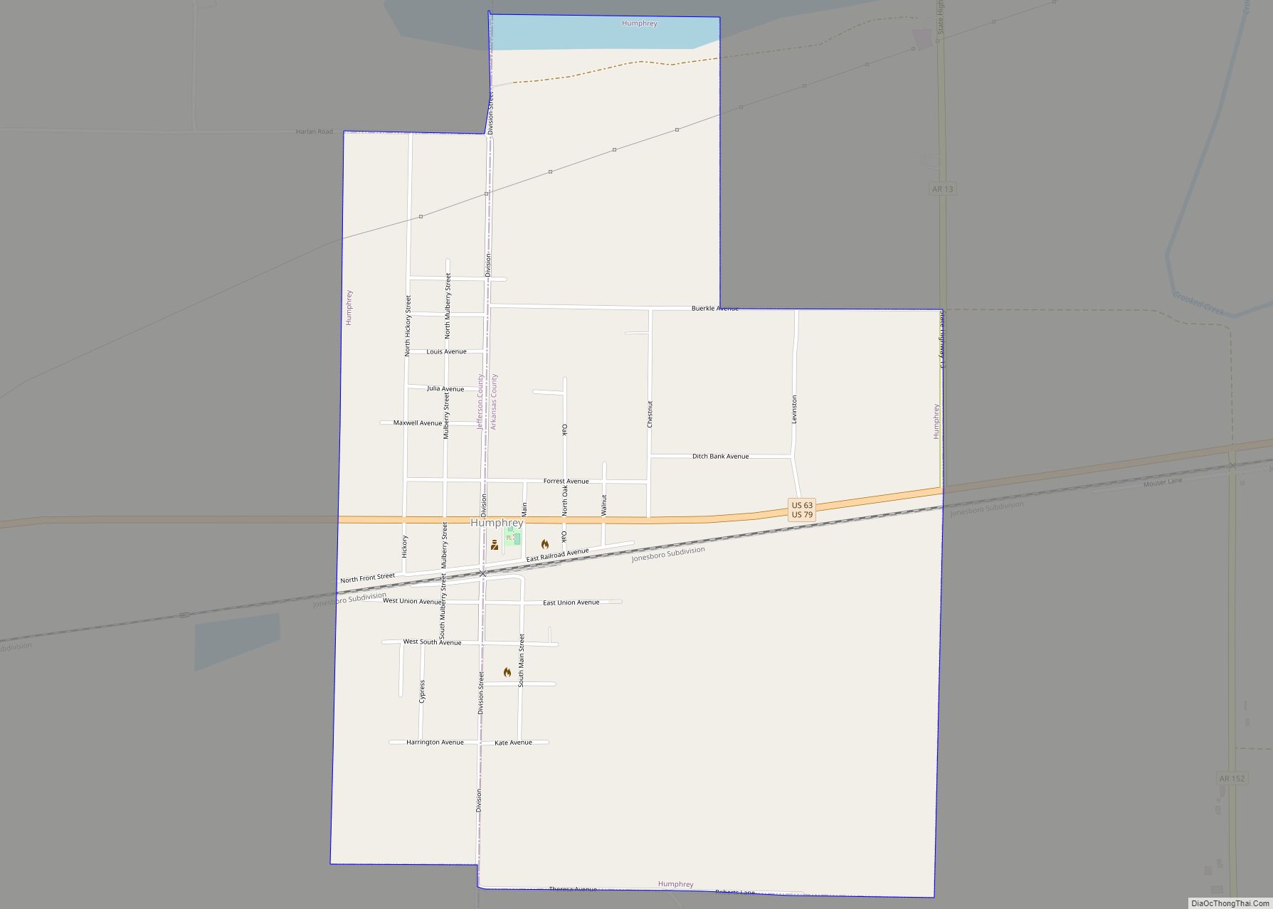
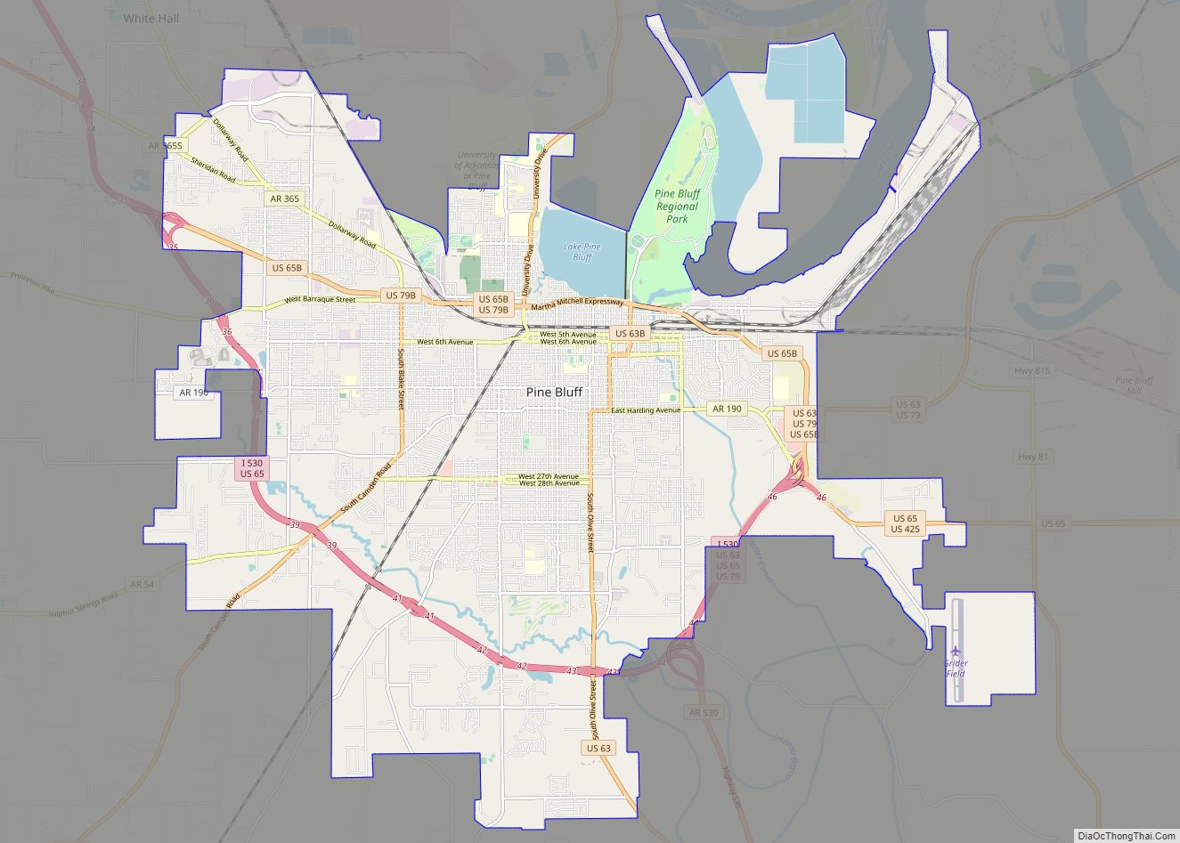
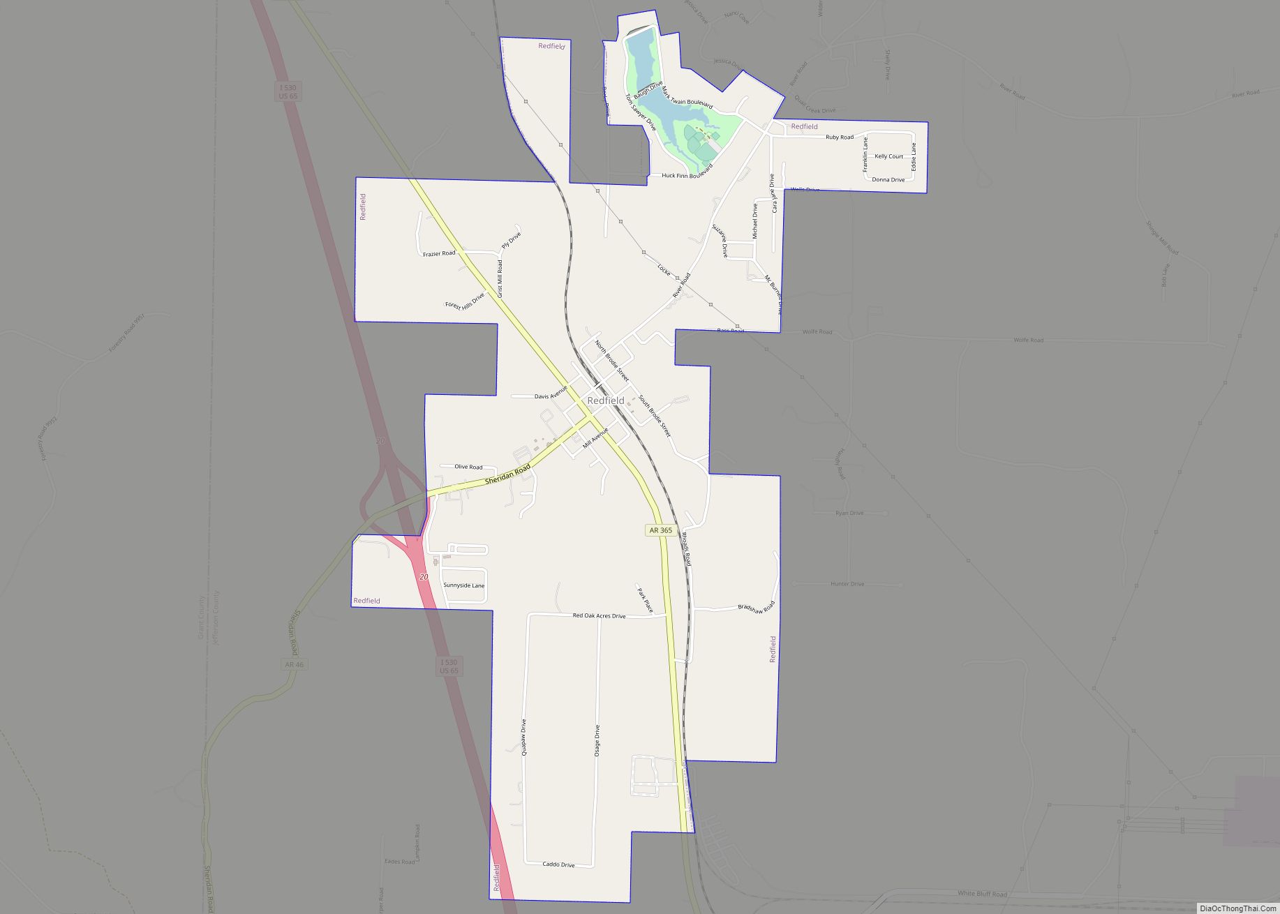
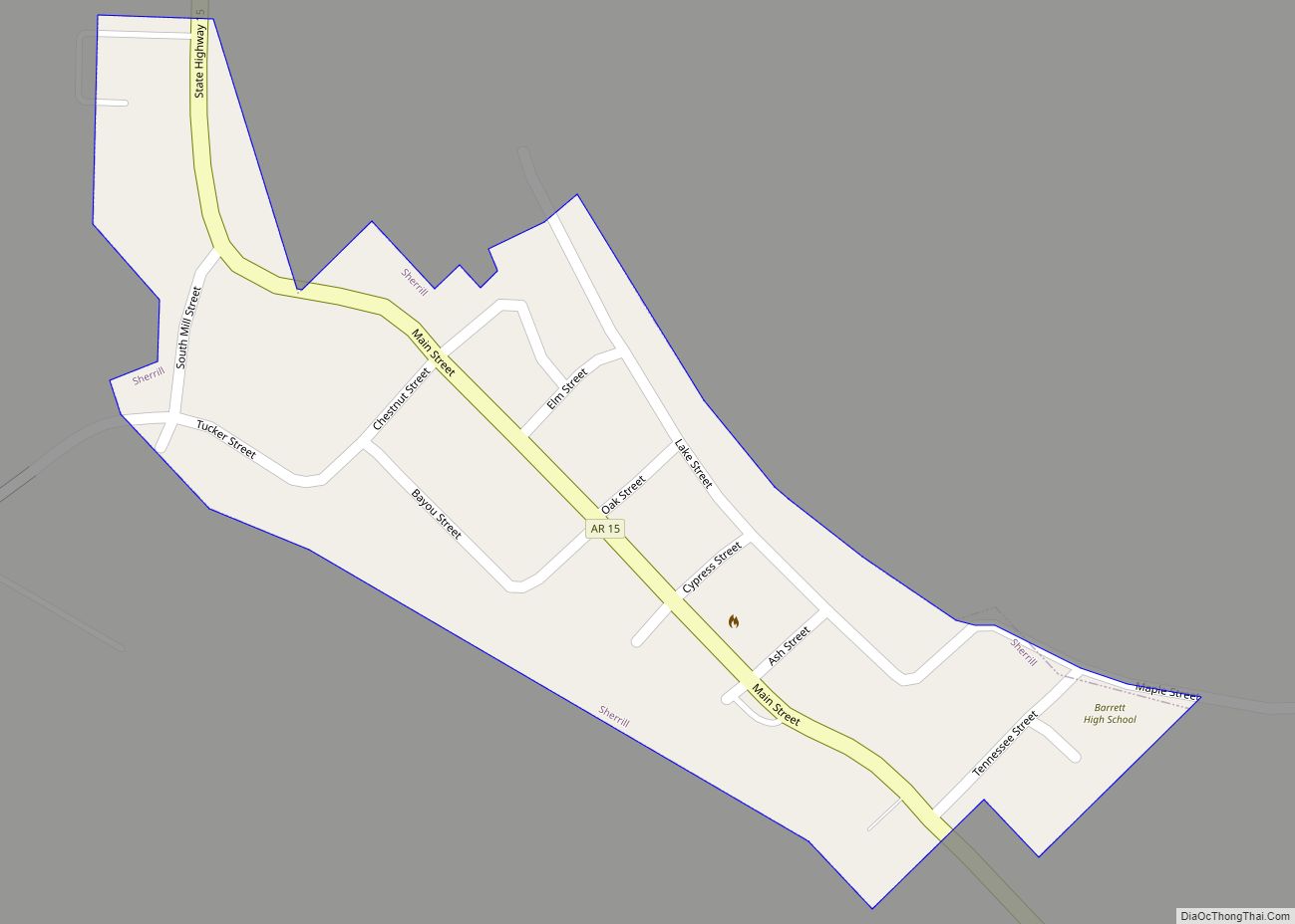
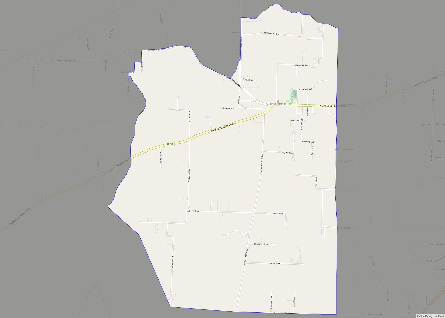
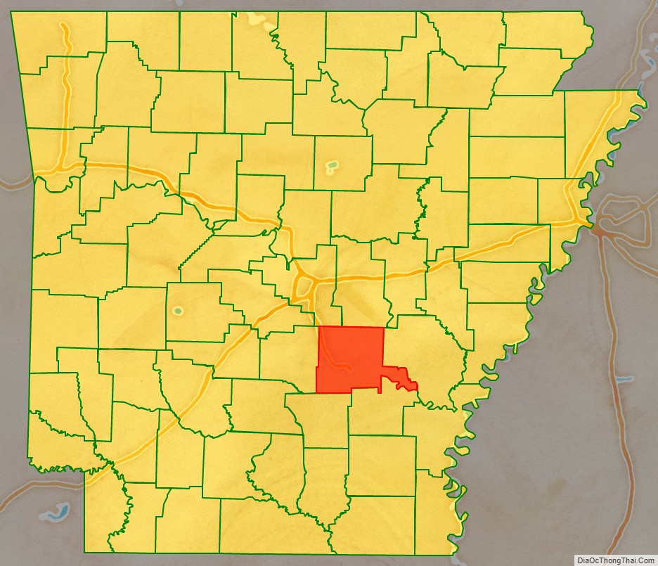
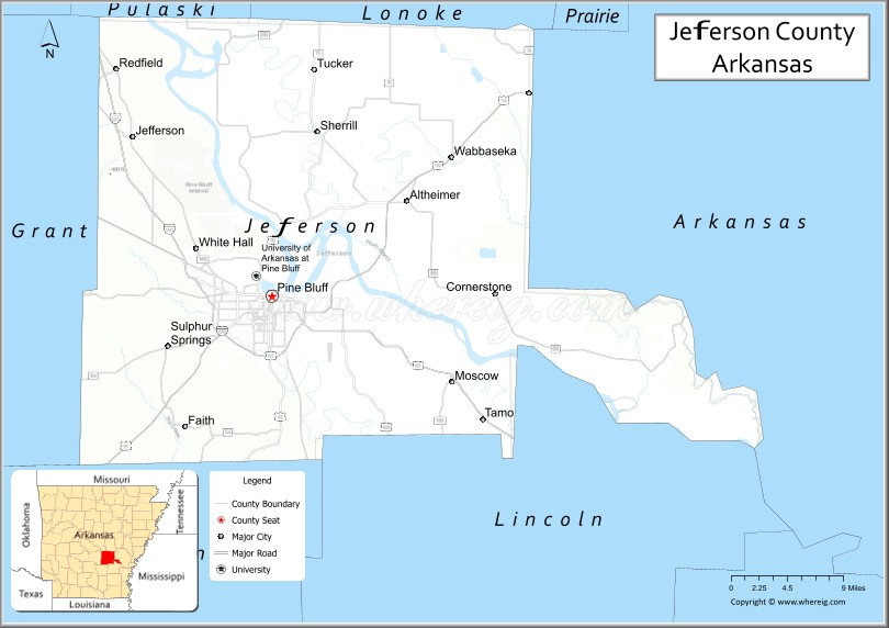
Jefferson County, Arkansas is a county located in the U.S. state of Arkansas in the area known as the Arkansas Delta that extends west of the Mississippi River. Jefferson County consists of five cities, two towns, and 20 townships. The county is bisected by the Arkansas River, which was critical to its development and long the chief transportation byway. In 2020, Jefferson County’s population was estimated at 67,260. Its county seat and largest city is Pine Bluff. Jefferson County is included in the Pine Bluff metropolitan statistical area. The county seat and the most populous city is Pine Bluff.
Jefferson County was formed from Vaugine Township, Pulaski County and Richland Township, Arkansas County in the Arkansas Territory, on November 2, 1829. It is named for Thomas Jefferson, third U.S. president. Jefferson County was the site of the Battle of Pine Bluff, occurring on October 25, 1863.
| Name: | Jefferson County |
|---|---|
| FIPS code: | 05-069 |
| State: | Arkansas |
| Named for: | Thomas Jefferson |
| Seat: | Pine Bluff |
| Largest city: | Pine Bluff |
| Total Area: | 914 sq mi (2,370 km²) |
| Land Area: | 871 sq mi (2,260 km²) |
| Total Population: | 67,260 |
| Population Density: | 74/sq mi (28/km²) |
| Time zone: | UTC−6 (Central) |
| Summer Time Zone (DST): | UTC−5 (CDT) |
| Website: | jeffersoncounty.arkansas.gov |
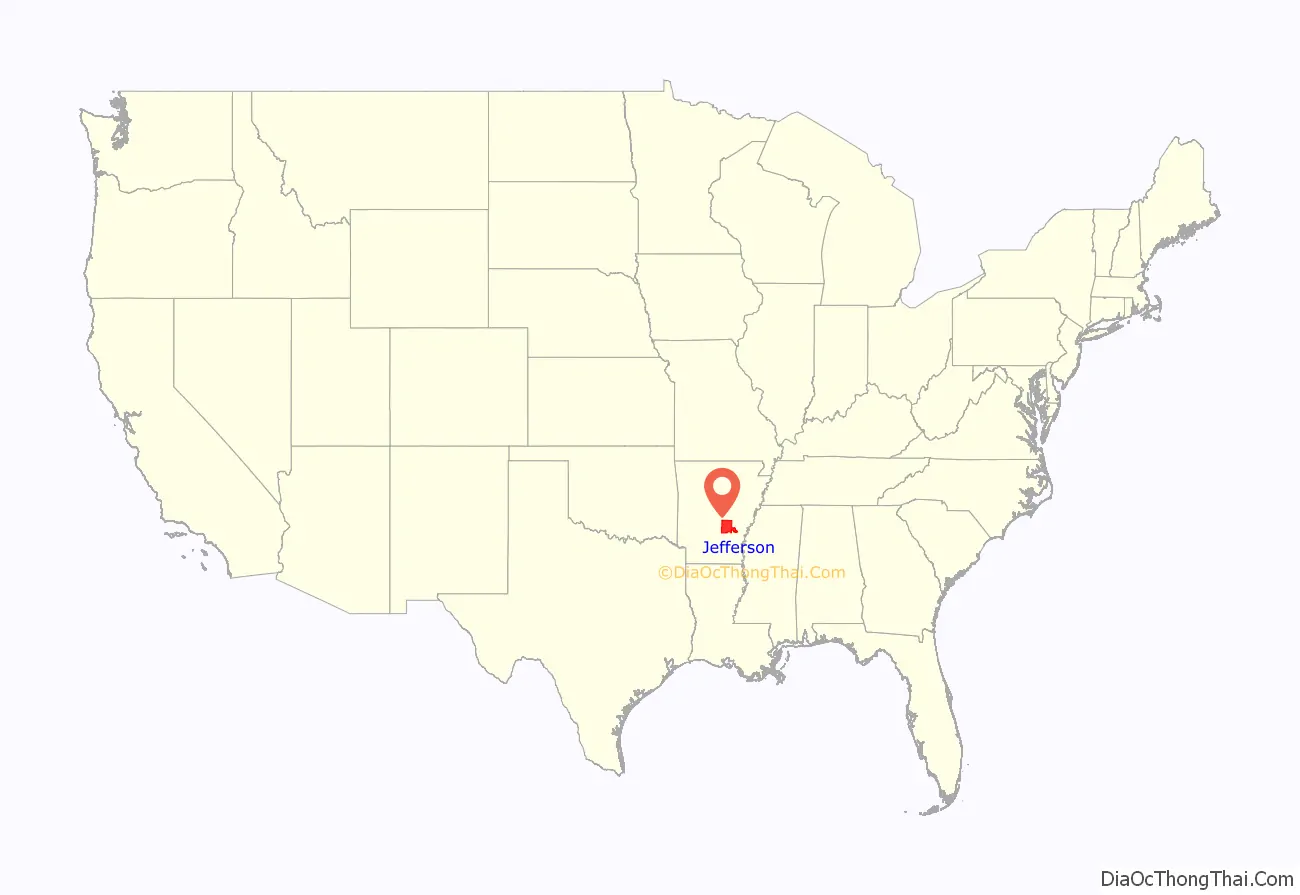
Jefferson County location map. Where is Jefferson County?
History
The area that would later become Jefferson County was occupied by the Quapaw when French explorers established the Arkansas Post in the 17th century; the foreigners claimed this area as Louisiana, part of New France.
In March 1819, Robert Crittenden was appointed secretary of Arkansas Territory. That same year, Joseph Bonne, traveling upstream on the Arkansas River from Arkansas Post, built a cabin on a “high bluff covered with pine trees” on the river’s south bank. Several years later, James Scull, also from Arkansas Post, established a tavern and small inn on the river’s north bank, across from what would become the site of Pine Bluff. Five years later, Crittenden convinced the remaining Quapaw to sign the November 15, 1824 treaty relinquishing what remained of their tribal lands.
Steamboat travel led to expanding settlement, “bringing to the area such men as French-born Napoleonic soldier Antoine Barraque (Pine Bluff’s principal east-west street was named for him) and brothers James T. and John Pullen (main thoroughfares were named for them).” On November 2, 1829, Territorial Governor John Pope—Crittenden’s successor—approved the establishment of Jefferson County. Bonne’s cabin was used as the county seat; by August 1832, “Pine Bluff Town” became the county seat.”
The land in the county was developed as large cotton plantations, with fronts on the river for transportation. The plantations were dependent on the labor of enslaved African Americans, who comprised a majority of the population in the county well before the American Civil War. After the war, planters in Jefferson County gradually resumed cotton cultivation and processing. The economy was driven by cotton and the Delta area was highly productive.
In 1886, Jefferson County produced 55,120 bales of cotton, the most in Arkansas, and the second-most throughout the South. Transportation companies serving the county at the time included the Cotton Belt Route, the St. Louis – San Francisco Railway, Missouri Pacific, the Arkansas River Packet Company, the Wiley Jones Street Car Lines, and the Citizens Street Railway Company.
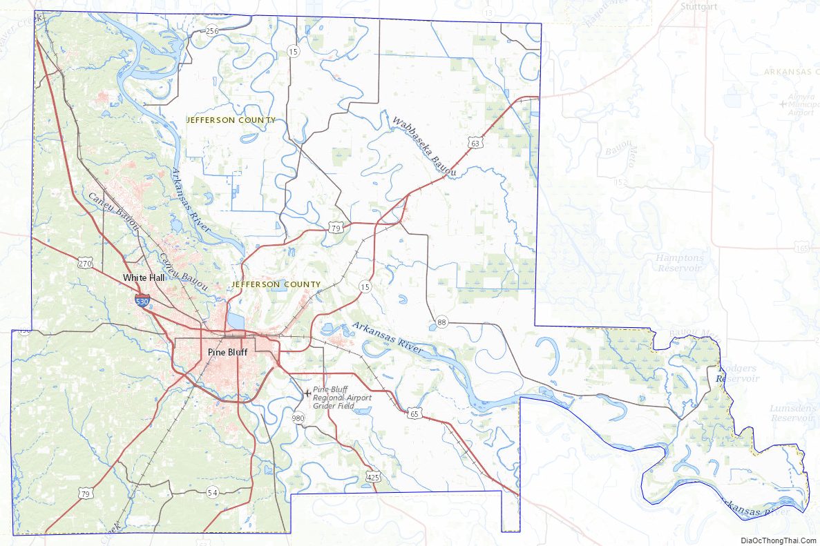
Jefferson County Road Map
Geography
According to the U.S. Census Bureau, the county has a total area of 914 square miles (2,370 km), of which 871 square miles (2,260 km) is land and 43 square miles (110 km) (4.7%) is water. The county is located approximately 43 miles (69 km ) southeast of Little Rock, 144 Miles (233 km southwest of Memphis, Tennessee, 218 Miles (351 km ) northwest of Jackson, Mississippi, 135 Miles. The county is 88 Miles (142 km ) northwest Of Mississippi border
Major highways
- Interstate 530
- U.S. Highway 65
- U.S. Highway 79
- U.S. Highway 270
- U.S. Highway 425
- Highway 15
- Highway 31
- Highway 46
- Highway 54
- Highway 81
- Highway 88
Adjacent counties
- Lonoke County (northeast)
- Arkansas County (east)
- Lincoln County (southeast)
- Cleveland County (southwest)
- Grant County (west)
- Pulaski County (northwest)
Jefferson County Topographic Map
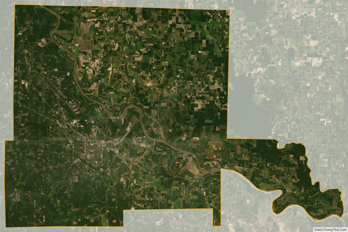
Jefferson County Satellite Map
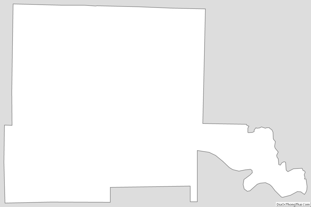
Jefferson County Outline Map