Boulder is a town in and the county seat of Jefferson County, Montana, United States. It is on the north bank of the Boulder River between Butte and Helena, slightly east of the Continental Divide, at the intersection of Interstate 15 and Montana Highway 69. The population was 1,201 at the 2020 census. It is part of the Helena Micropolitan Statistical Area, which includes all of Lewis and Clark and Jefferson counties; its population is 83,058 according to the 2020 Census.
Established in the 19th century as a stagecoach station, Boulder grew into a regional trading center for farmers, ranchers, and miners and, by the end of that century, home to state schools for the deaf, blind and developmentally disabled. In the 21st century, it is the center of government in Jefferson County, and institutions based in the town offer services for disabled adults and troubled youths. Its library system serves about 10,000 people, and its high school district covers more than 1,000 square miles (2,600 km). Three buildings in Boulder are listed on the National Register of Historic Places.
| Name: | Boulder city |
|---|---|
| LSAD Code: | 25 |
| LSAD Description: | city (suffix) |
| State: | Montana |
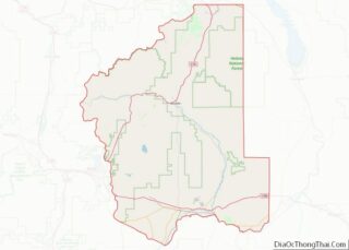
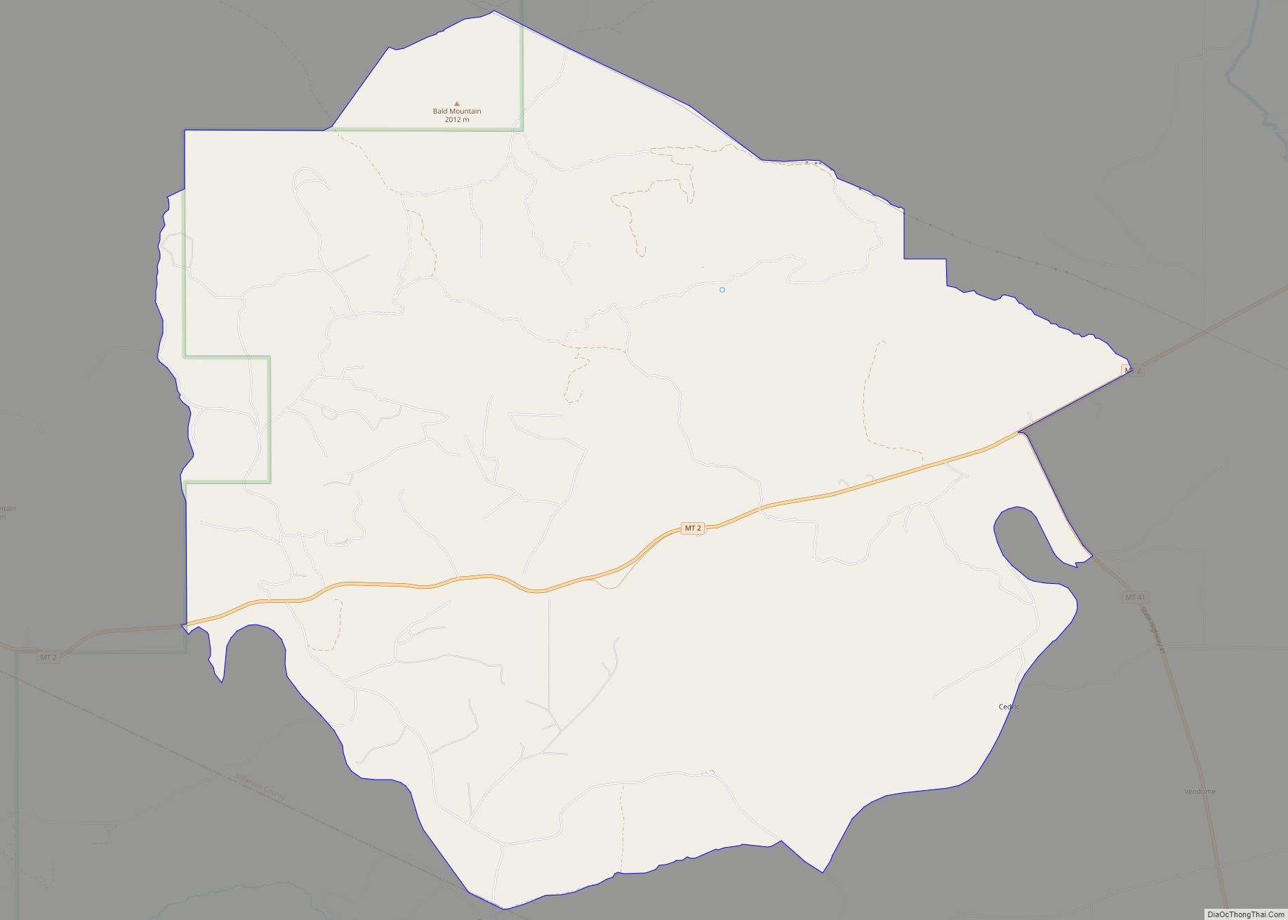
| County: | Jefferson County |
| Elevation: | 4,908 ft (1,496 m) |
| Land Area: | 1.12 sq mi (2.91 km²) |
| Water Area: | 0.00 sq mi (0.00 km²) |
| Population Density: | 1,068.51/sq mi (412.47/km²) |
| Area code: | 406 |
| FIPS code: | 3008575 |
| GNISfeature ID: | 0780250 |
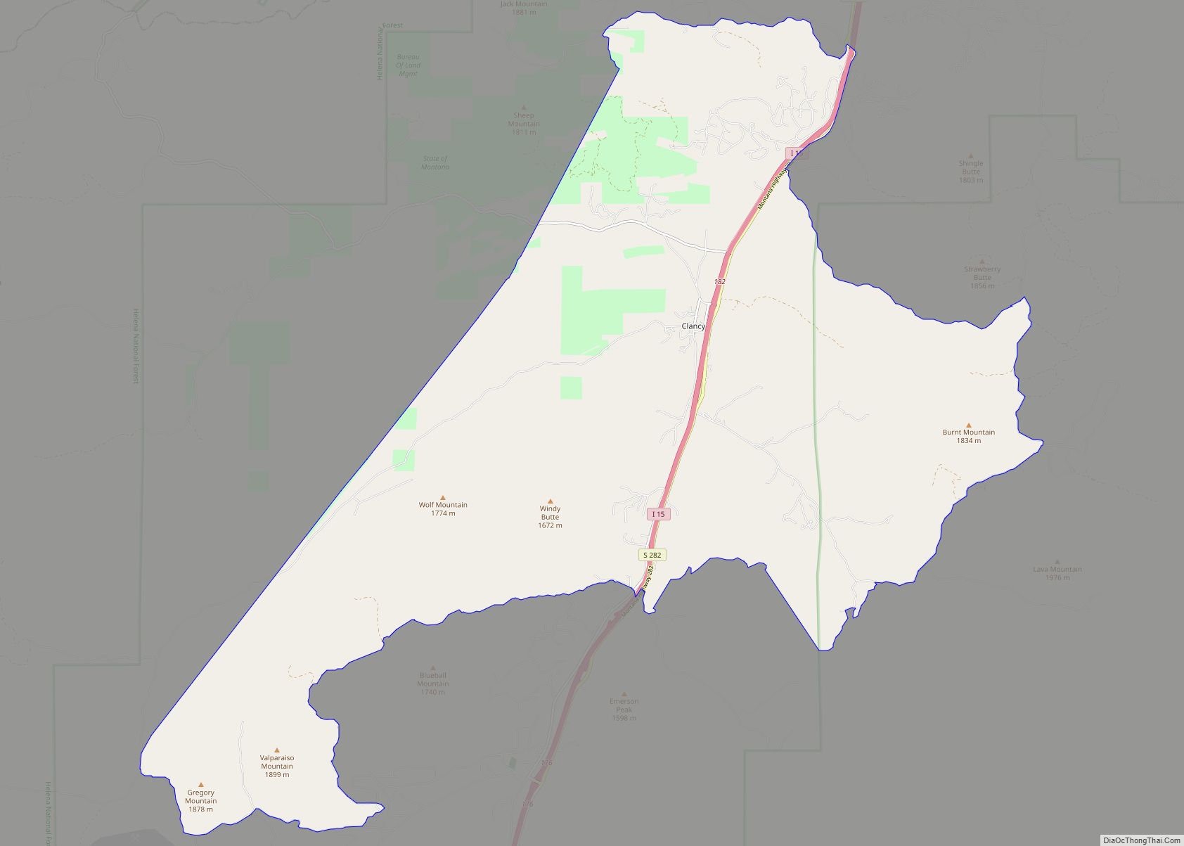
Online Interactive Map
Click on ![]() to view map in "full screen" mode.
to view map in "full screen" mode.
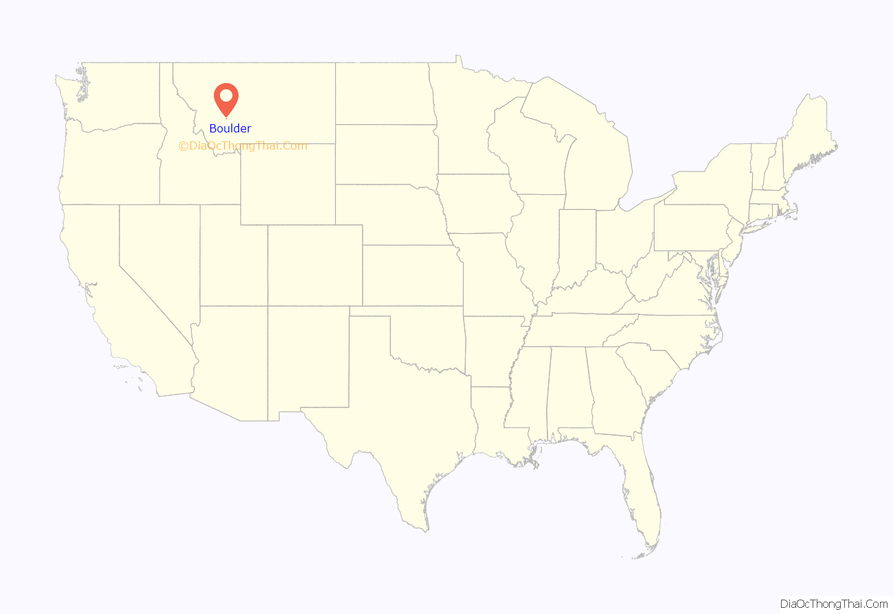
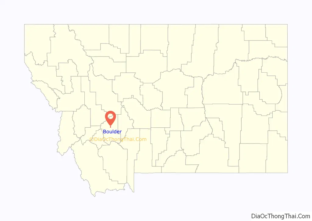
Boulder location map. Where is Boulder city?
History
Named for the many large boulders in the vicinity, the town of Boulder Valley was established in the early 1860s as a stagecoach station on the route between Fort Benton and Virginia City. It later became a trading center for nearby agricultural areas and the Elkhorn, Comet, and Baltimore mining districts. The Great Northern Railway branch line from Helena to Butte reached Boulder in 1888. State schools for the deaf, blind, and developmentally disabled were established in the city in 1892. In 1897, the town’s name was shortened to Boulder.
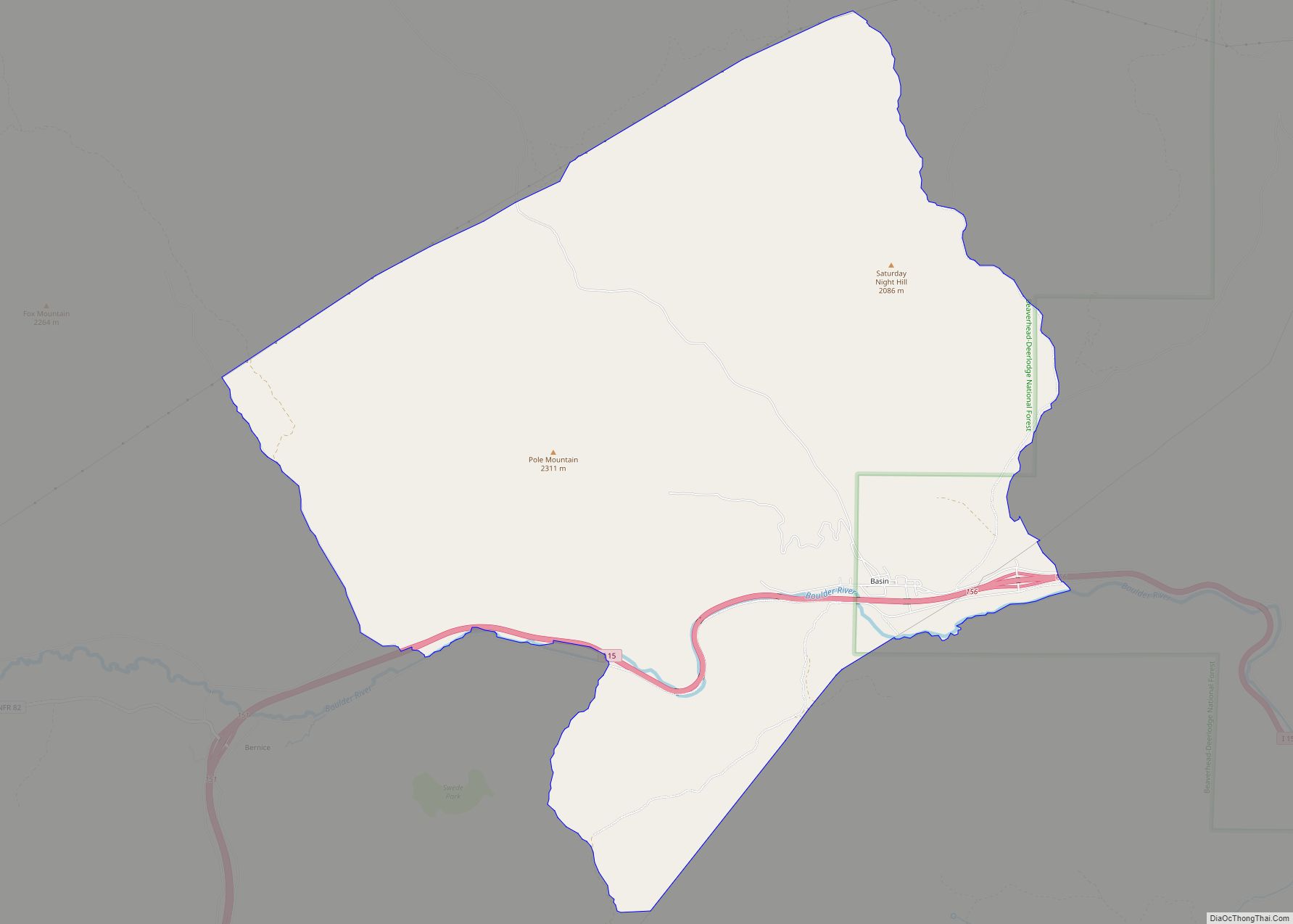
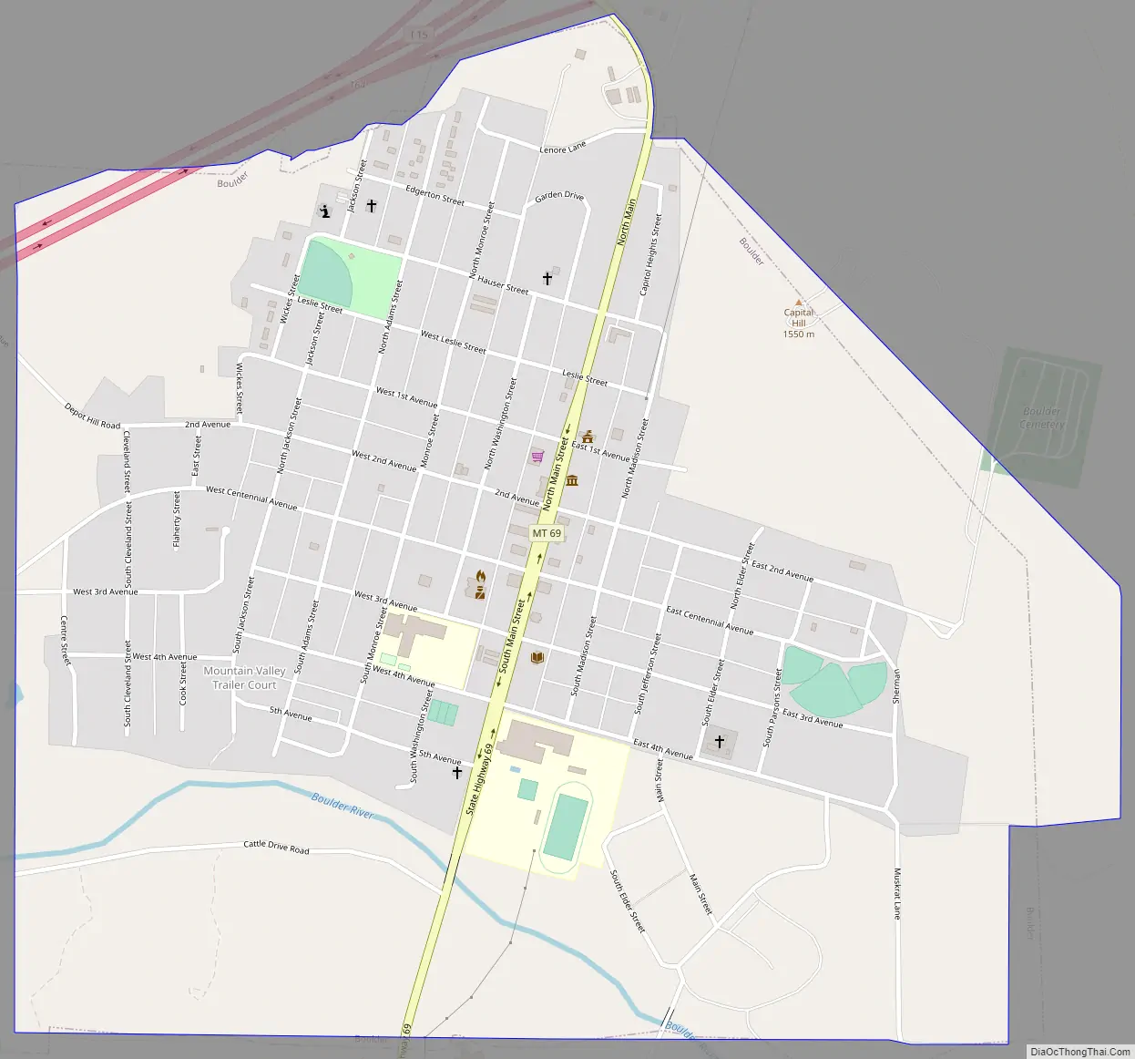
Boulder Road Map
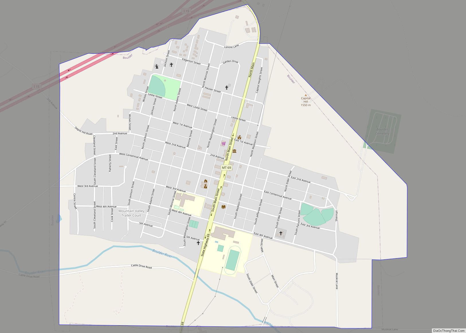
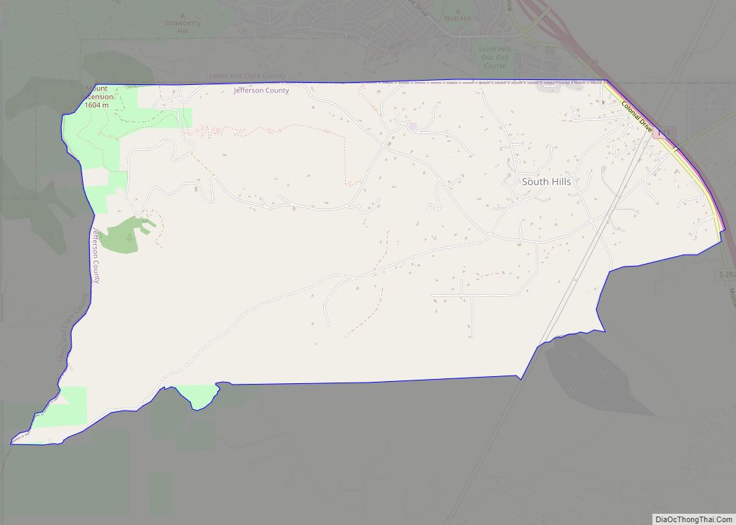
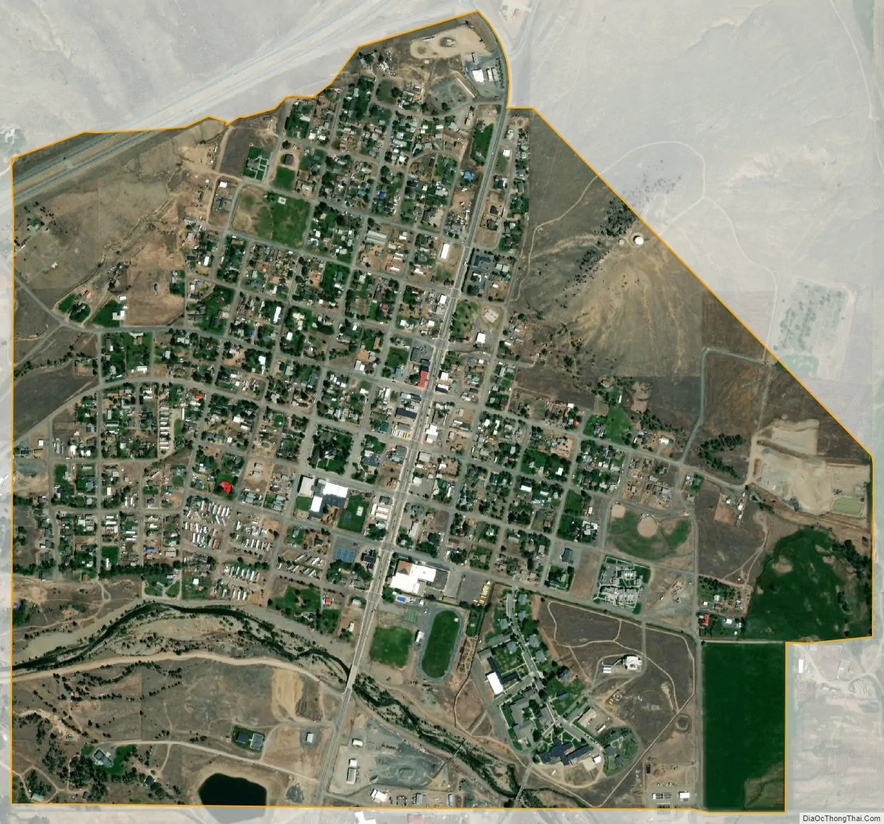
Boulder city Satellite Map
Geography
Boulder lies at an elevation of 4,990 feet (1,521 m) above sea level along Interstate 15 at its intersection with Montana Highway 69, approximately 35 miles (56 km) north of Butte, and 27 miles (43 km) south of Helena. The town is on the north bank of the Boulder River, a tributary of the Jefferson River. According to the United States Census Bureau, the city has a total area of 1.12 square miles (2.90 km), all land.
In the late Cretaceous Period (roughly 81 to 74 million years ago), molten rock (magma) rose to the Earth’s surface in and near what later became Jefferson County and eventually formed an intrusive body of granitic rock up to 10 miles (16 km) thick and 100 miles (161 km) in diameter. This body, known as the Boulder Batholith, extends from Helena to Butte, and is the host rock for the many valuable ores mined in the region. As the granite cooled, it cracked, and hot solutions filled the cracks and formed mineral veins bearing gold and other metals. Millions of years later, weathering allowed gold in the veins to wash down to the gravels in the Boulder River valley. The Boulder mining district was essentially limited to placer mining of those gravels, because the source lodes were in other mining districts in the mountains.
See also
Map of Montana State and its subdivision:- Beaverhead
- Big Horn
- Blaine
- Broadwater
- Carbon
- Carter
- Cascade
- Chouteau
- Custer
- Daniels
- Dawson
- Deer Lodge
- Fallon
- Fergus
- Flathead
- Gallatin
- Garfield
- Glacier
- Golden Valley
- Granite
- Hill
- Jefferson
- Judith Basin
- Lake
- Lewis and Clark
- Liberty
- Lincoln
- Madison
- McCone
- Meagher
- Mineral
- Missoula
- Musselshell
- Park
- Petroleum
- Phillips
- Pondera
- Powder River
- Powell
- Prairie
- Ravalli
- Richland
- Roosevelt
- Rosebud
- Sanders
- Sheridan
- Silver Bow
- Stillwater
- Sweet Grass
- Teton
- Toole
- Treasure
- Valley
- Wheatland
- Wibaux
- Yellowstone
- Alabama
- Alaska
- Arizona
- Arkansas
- California
- Colorado
- Connecticut
- Delaware
- District of Columbia
- Florida
- Georgia
- Hawaii
- Idaho
- Illinois
- Indiana
- Iowa
- Kansas
- Kentucky
- Louisiana
- Maine
- Maryland
- Massachusetts
- Michigan
- Minnesota
- Mississippi
- Missouri
- Montana
- Nebraska
- Nevada
- New Hampshire
- New Jersey
- New Mexico
- New York
- North Carolina
- North Dakota
- Ohio
- Oklahoma
- Oregon
- Pennsylvania
- Rhode Island
- South Carolina
- South Dakota
- Tennessee
- Texas
- Utah
- Vermont
- Virginia
- Washington
- West Virginia
- Wisconsin
- Wyoming