Elk County is a county in the Commonwealth of Pennsylvania. As of the 2020 United States census, the population was 30,990. Its county seat is Ridgway. The county was created on April 18, 1843, from parts of Jefferson, Clearfield, and McKean Counties. Elk County is named for the eastern elk (Cervus canadensis) that historically inhabited the region.
The county is notable for having one of the highest concentrations of Roman Catholics in the United States, with 69% of the county’s residents identifying as Catholic.
| Name: | Elk County |
|---|---|
| FIPS code: | 42-047 |
| State: | Pennsylvania |
| Founded: | April 18, 1843 |
| Named for: | Eastern elk |
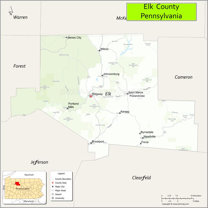
| Seat: | Ridgway |
| Largest city: | St. Marys |
| Total Area: | 832 sq mi (2,150 km²) |
| Land Area: | 827 sq mi (2,140 km²) |
| Total Population: | 30,990 |
| Population Density: | 37.5/sq mi (14.5/km²) |
| Time zone: | UTC−5 (Eastern) |
| Summer Time Zone (DST): | UTC−4 (EDT) |
| Website: | www.co.elk.pa.us |
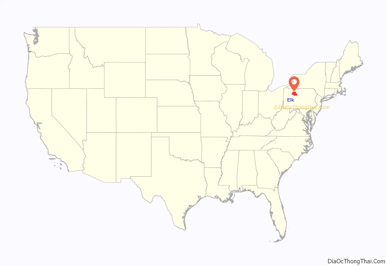
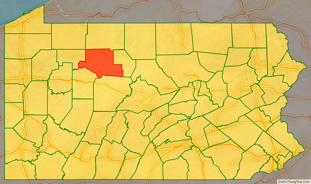
Elk County location map. Where is Elk County?
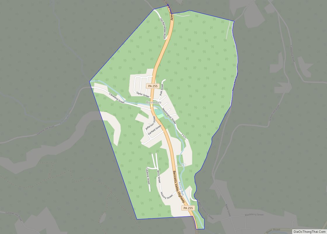
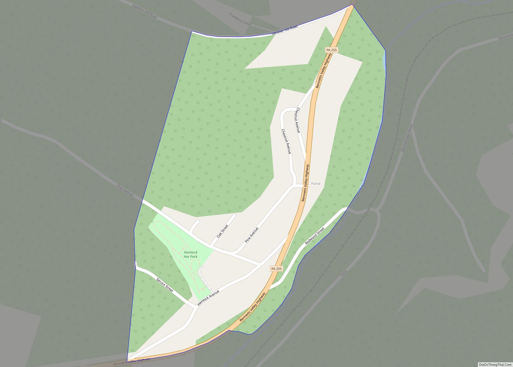
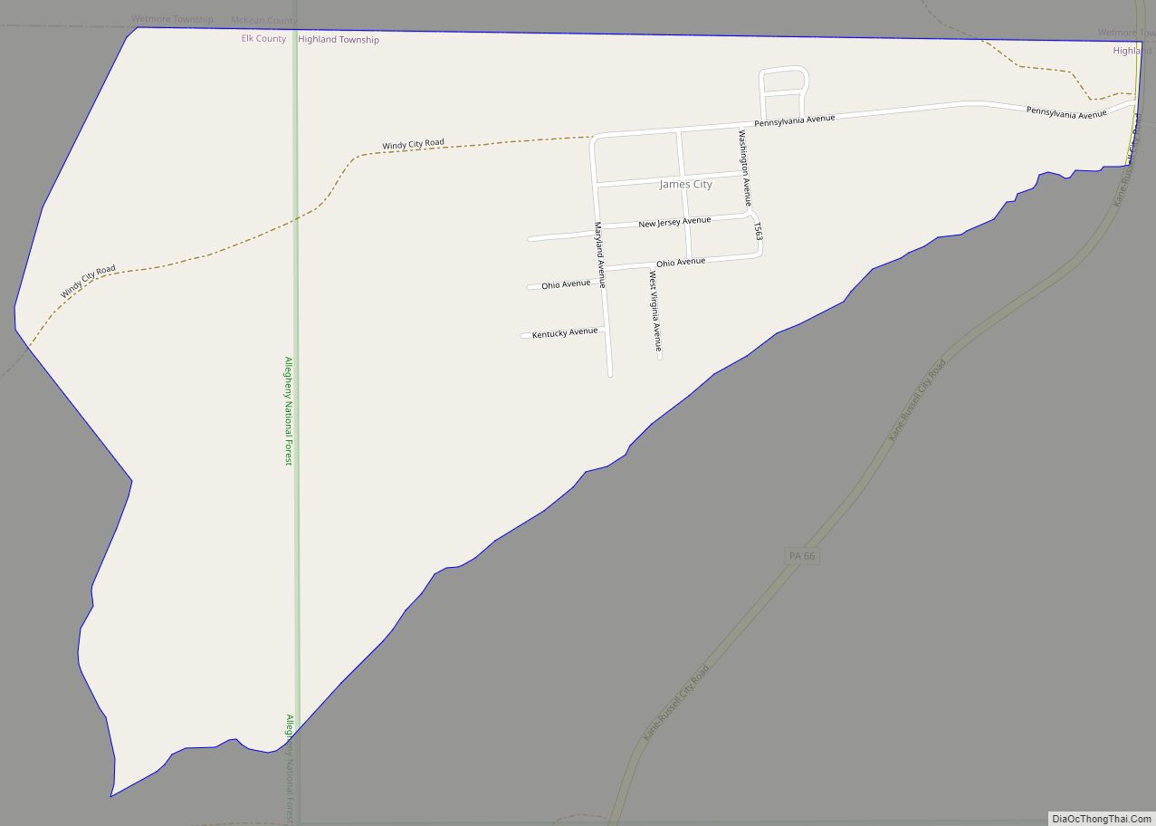
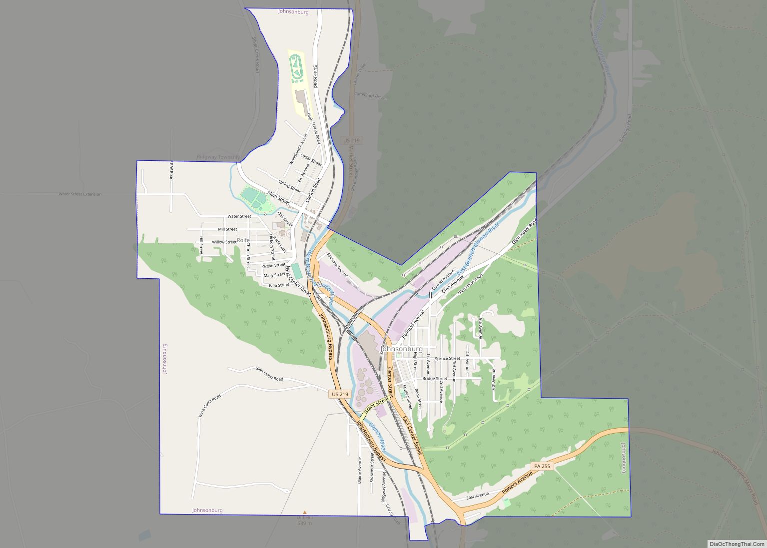
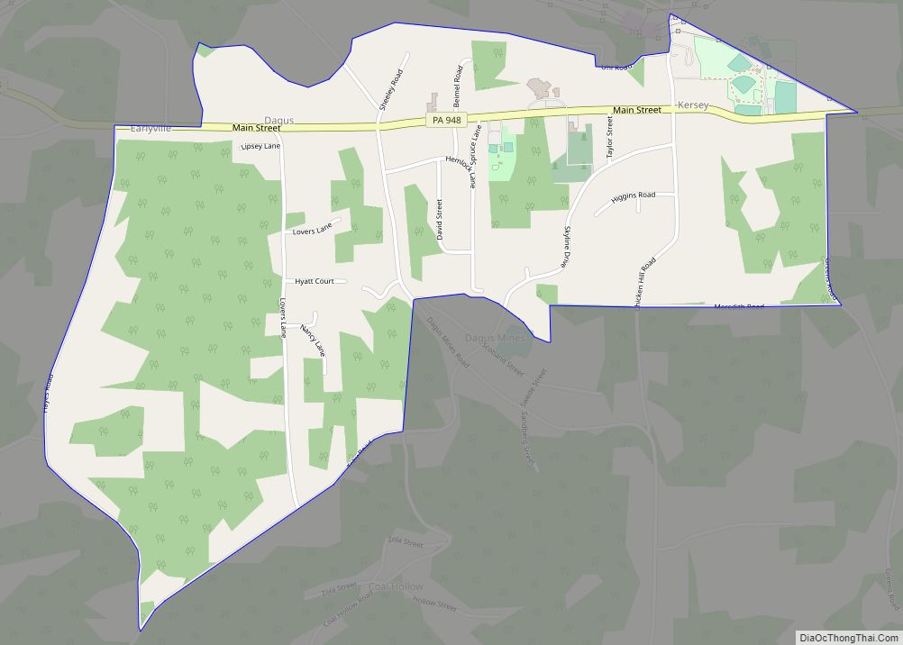
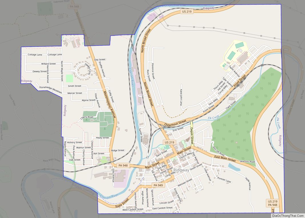
Elk County Road Map
Geography
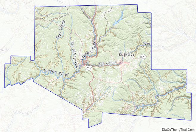
Elk County consists of low rolling hills, carved by frequent drainages and heavily wooded.
According to the United States Census Bureau, the county has a total area of 832 square miles (2,150 km), of which 827 square miles (2,140 km) is land and 4.9 square miles (13 km) (0.6%) is water. Elk has a warm-summer humid continental climate (Dfb) and average monthly temperatures in Ridgway range from 23.2 °F in January to 67.4 °F in July, while in Saint Marys they range from 22.6 °F in January to 66.8 °F in July. [1]
Adjacent counties
- McKean County – north
- Cameron County – east
- Clearfield County – south
- Jefferson County – southwest
- Forest County – west
- Warren County – northwest
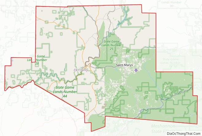
National protected area
- Allegheny National Forest (part)
State protected areas
- Bendigo State Park
- Elk State Park
Major highways
- US 219
- US 219 Truck
- PA 66
- PA 120
- PA 153
- PA 255
- PA 321
- PA 555
- PA 948
- PA 949
Elk County Topographic Map
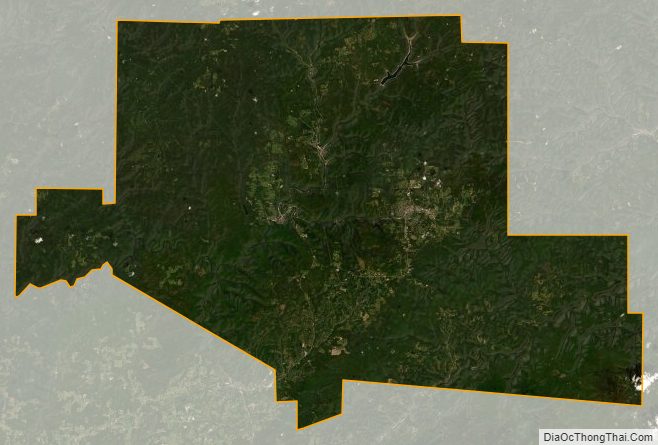
Elk County Satellite Map
Elk County Outline Map