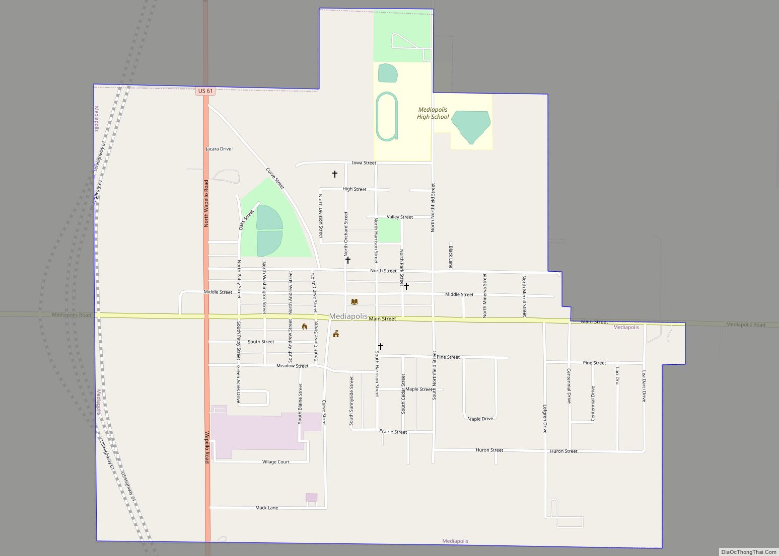
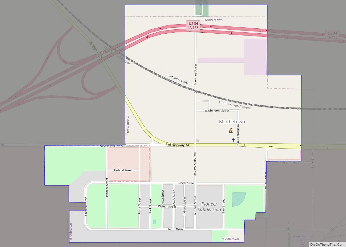
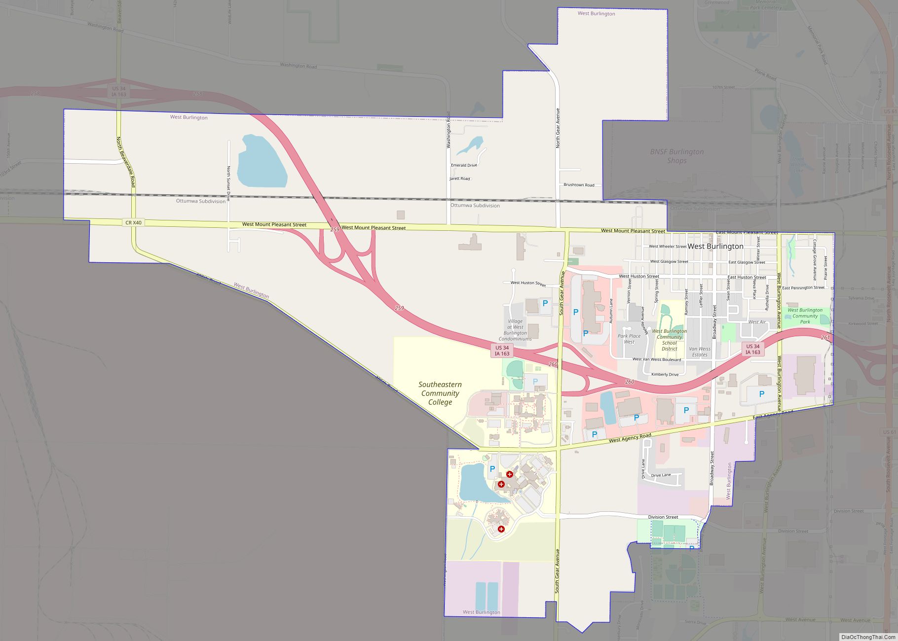
Burlington is a city in, and the county seat of, Des Moines County, Iowa, United States. The population was 23,982 in the 2020 census, a decline from the 26,839 population in 2000. Burlington is the center of a micropolitan area, which includes West Burlington and Middletown, Iowa, and Gulfport, Illinois. Burlington is the home of Snake Alley, an extremely crooked street.
| Name: | Burlington city |
|---|---|
| LSAD Code: | 25 |
| LSAD Description: | city (suffix) |
| State: | Iowa |
| County: | Des Moines County |
| Founded: | 1833 |
| Elevation: | 696 ft (185 m) |
| Total Area: | 15.17 sq mi (39.29 km²) |
| Land Area: | 14.41 sq mi (37.32 km²) |
| Water Area: | 0.76 sq mi (1.98 km²) |
| Total Population: | 23,982 |
| Population Density: | 1,664.49/sq mi (642.68/km²) |
| ZIP code: | 52601 |
| Area code: | 319 |
| FIPS code: | 1909550 |
| GNISfeature ID: | 0454995 |
| Website: | burlingtoniowa.org |
Online Interactive Map
Click on ![]() to view map in "full screen" mode.
to view map in "full screen" mode.
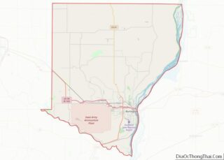
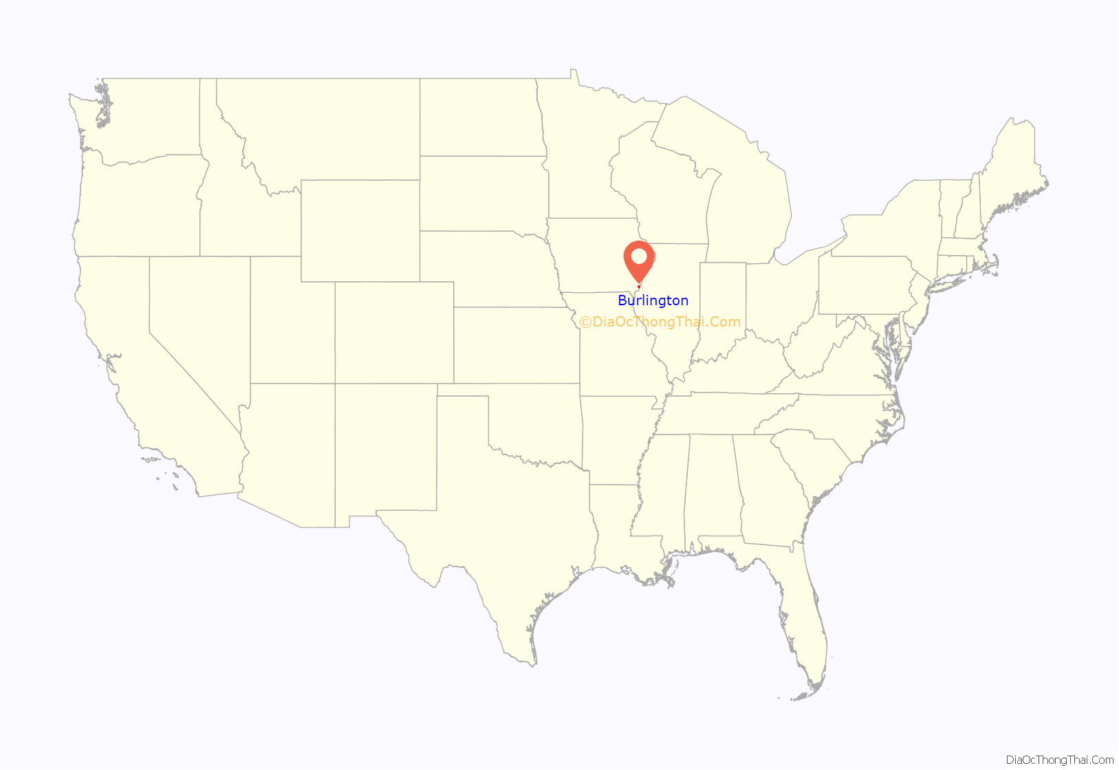
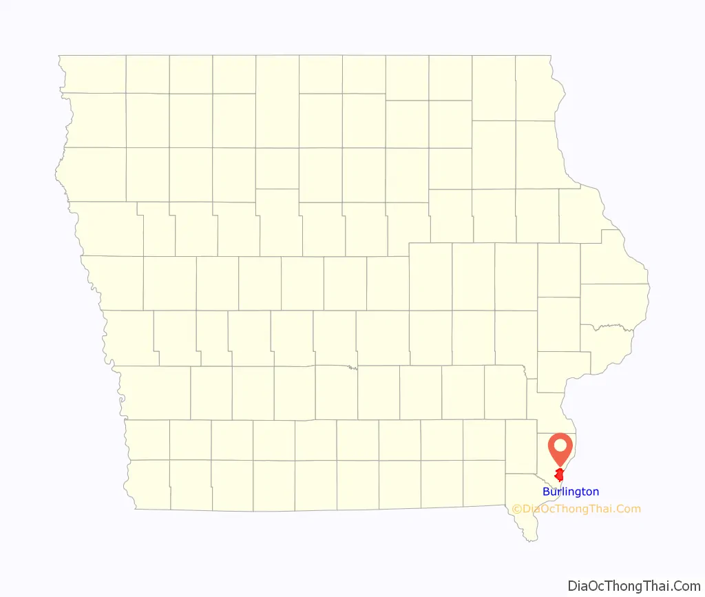
Burlington location map. Where is Burlington city?
History
Prior to European settlement, the area was neutral territory for the Sac and Fox Native American tribes, who called it Shoquoquon (Shok-ko-kon), meaning Flint Hills.
In 1803, President Thomas Jefferson organized two parties of explorers to map the Louisiana Purchase. The Lewis and Clark Expedition followed the Missouri River, while Lt. Zebulon Pike followed the Mississippi River. In 1805, Pike landed at the bluffs below Burlington and raised the United States Flag for the first time on what would become Iowa soil and recommended construction of a fort. The recommendation went unheeded.
The American Fur Company of John Jacob Astor established a post in the area in 1829. Settlement began in 1833, shortly after the Black Hawk Purchase, when Samuel (aka Simpson) White, Amzi Doolitle, and Morton M. McCarver crossed the Mississippi River from Big Island and staked claims there. According to an account A.T. Andreas wrote in 1875, White erected a cabin in the area later platted to be Front Street between Court and High streets. Andreas called White and Doolittle the Romulus and Remus of their settlement, referring to the mythic heroes who founded Rome, a city surrounded by hills. A few weeks later, William R. Ross joined them and established a general store. In November and December, he surveyed the settlement for White and Doolittle.
In the spring of 1834 they allowed John Gray, who purchased the first lot with his wife Eliza Jane, to rename the town for $50. Gray chose to name it Burlington in honor of his hometown in Vermont. The Grays’ daughter Abigail was born in Burlington that same year, the first European-descended American settler child born on Iowa soil.
In 1837, Burlington was designated the second territorial capital of the Wisconsin Territory. The Iowa Territory was organized in the following year, and Burlington was named as its first territorial capital. The government used “Old Zion,” the first Methodist Church in Iowa (located near what is now Third and Washington streets), to conduct its business. A historical marker commemorates the site of the church and early territorial government.
On May 22, 1849, Maj. William Williams visited Burlington, writing a brief description in his journal:
In April 1885, economist Henry George gave a speech titled “The Crime of Poverty” at the Burlington Knights of Labor local advocating for a citizen’s dividend paid for by a land value tax.
Iowa’s nickname, “The Hawkeye State,” has its roots in Burlington. At Judge David Rorer’s suggestion, publisher James G. Edwards changed The Iowa Patriot newspaper’s name to The Hawk-Eye and Iowa Patriot in tribute to his friend, Chief Black Hawk. Rorer is said to have found the name in James Fenimore Cooper’s The Last of the Mohicans, but Edwards proposed the nickname to “…rescue from oblivion [sic] a momento [sic], at least of the name of the old chief.”
Burlington was a bustling river port in the steamboat era and a central city to the Chicago, Burlington and Quincy Railroad. The “Burlington Route” (1848–1970) merged into the Burlington Northern Railroad (1970–1996), which in turn merged into the BNSF Railway (1997–present). The “Burlington” name has been given to one of the United States’ largest railroads. One of BNSF’s main east-west lines, the Ottumwa subdivision, still crosses the Mississippi at Burlington.
In the late twentieth century, retail expanded with suburbanization of the population. After purchasing Benner Tea, Aldi opened its first store in the United States at Burlington in 1976. Westland Mall opened in nearby West Burlington in 1977.
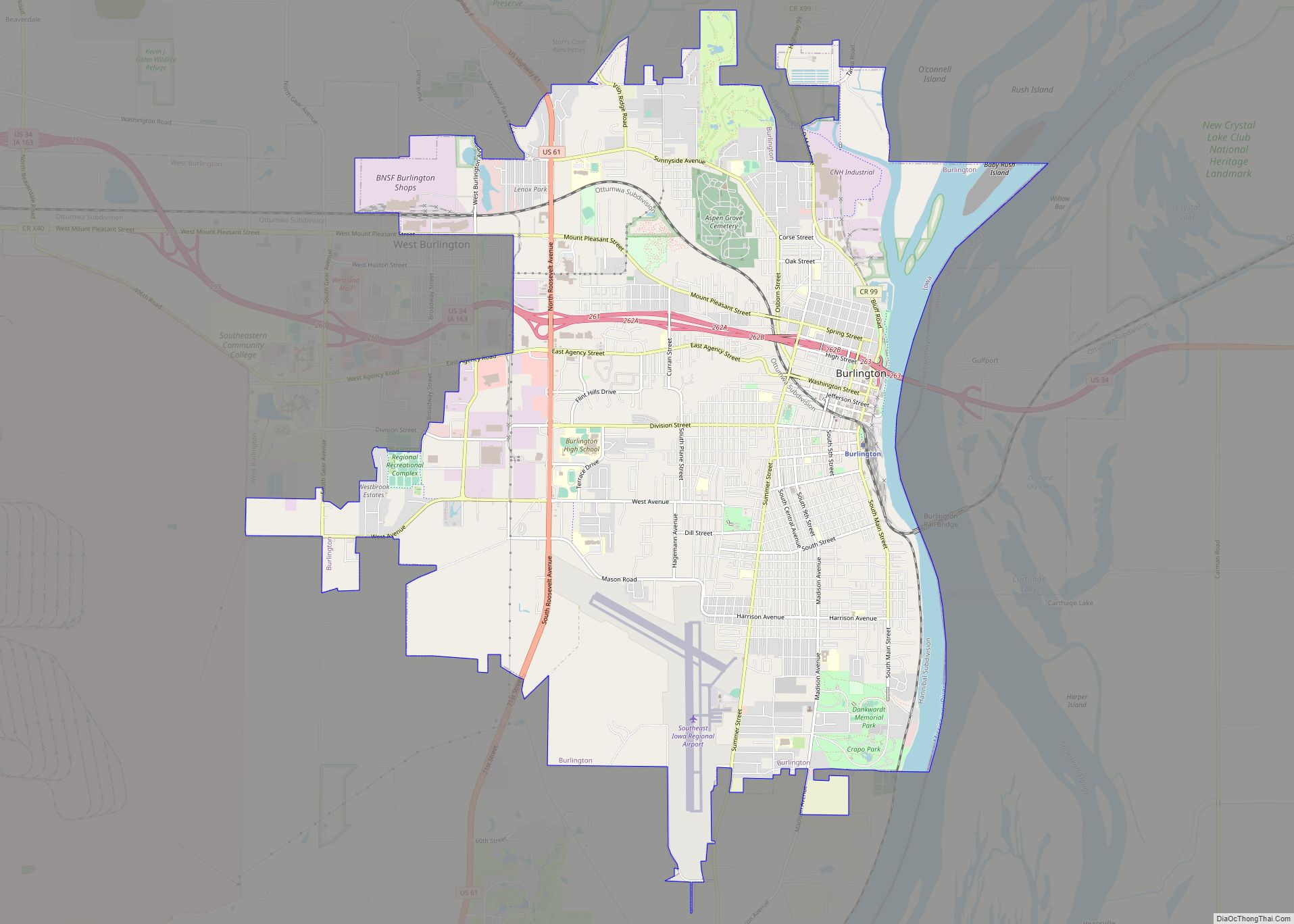
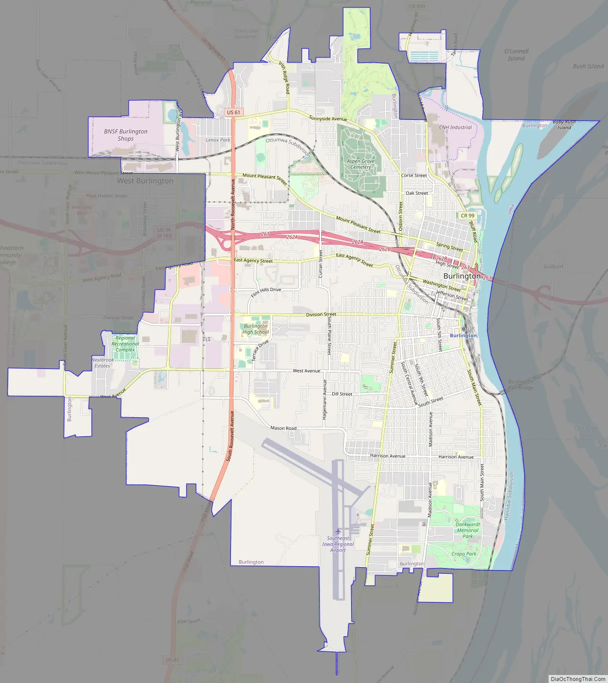
Burlington Road Map
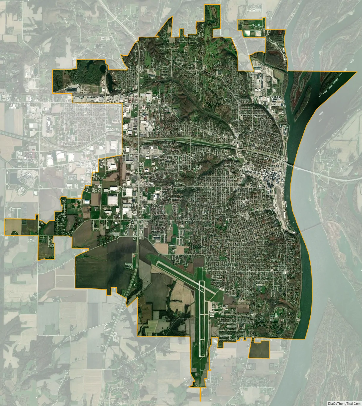
Burlington city Satellite Map
Geography
According to the United States Census Bureau, the city has a total area of 15.24 square miles (39.47 km), of which 14.48 square miles (37.50 km) is land and 0.76 square miles (1.97 km) is water.
Climate
See also
Map of Iowa State and its subdivision:- Adair
- Adams
- Allamakee
- Appanoose
- Audubon
- Benton
- Black Hawk
- Boone
- Bremer
- Buchanan
- Buena Vista
- Butler
- Calhoun
- Carroll
- Cass
- Cedar
- Cerro Gordo
- Cherokee
- Chickasaw
- Clarke
- Clay
- Clayton
- Clinton
- Crawford
- Dallas
- Davis
- Decatur
- Delaware
- Des Moines
- Dickinson
- Dubuque
- Emmet
- Fayette
- Floyd
- Franklin
- Fremont
- Greene
- Grundy
- Guthrie
- Hamilton
- Hancock
- Hardin
- Harrison
- Henry
- Howard
- Humboldt
- Ida
- Iowa
- Jackson
- Jasper
- Jefferson
- Johnson
- Jones
- Keokuk
- Kossuth
- Lee
- Linn
- Louisa
- Lucas
- Lyon
- Madison
- Mahaska
- Marion
- Marshall
- Mills
- Mitchell
- Monona
- Monroe
- Montgomery
- Muscatine
- O'Brien
- Osceola
- Page
- Palo Alto
- Plymouth
- Pocahontas
- Polk
- Pottawattamie
- Poweshiek
- Ringgold
- Sac
- Scott
- Shelby
- Sioux
- Story
- Tama
- Taylor
- Union
- Van Buren
- Wapello
- Warren
- Washington
- Wayne
- Webster
- Winnebago
- Winneshiek
- Woodbury
- Worth
- Wright
- Alabama
- Alaska
- Arizona
- Arkansas
- California
- Colorado
- Connecticut
- Delaware
- District of Columbia
- Florida
- Georgia
- Hawaii
- Idaho
- Illinois
- Indiana
- Iowa
- Kansas
- Kentucky
- Louisiana
- Maine
- Maryland
- Massachusetts
- Michigan
- Minnesota
- Mississippi
- Missouri
- Montana
- Nebraska
- Nevada
- New Hampshire
- New Jersey
- New Mexico
- New York
- North Carolina
- North Dakota
- Ohio
- Oklahoma
- Oregon
- Pennsylvania
- Rhode Island
- South Carolina
- South Dakota
- Tennessee
- Texas
- Utah
- Vermont
- Virginia
- Washington
- West Virginia
- Wisconsin
- Wyoming