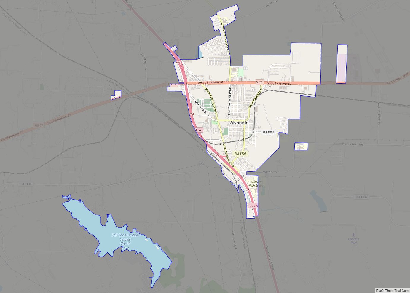
Johnson County is a county located in the U.S. state of Texas. As of the 2020 census, its population was 179,927. Its county seat is Cleburne. Johnson County is named for Middleton Johnson, a Texas Ranger, soldier, and politician. Johnson County is included in the Dallas–Fort Worth–Arlington metropolitan statistical area.
| Name: | Johnson County |
|---|---|
| FIPS code: | 48-251 |
| State: | Texas |
| Founded: | 1854 |
| Seat: | Cleburne |
| Largest city: | Burleson |
| Total Area: | 734 sq mi (1,900 km²) |
| Land Area: | 725 sq mi (1,880 km²) |
| Total Population: | 179,927 |
| Population Density: | 245/sq mi (95/km²) |
| Time zone: | UTC−6 (Central) |
| Summer Time Zone (DST): | UTC−5 (CDT) |
| Website: | www.johnsoncountytx.org |
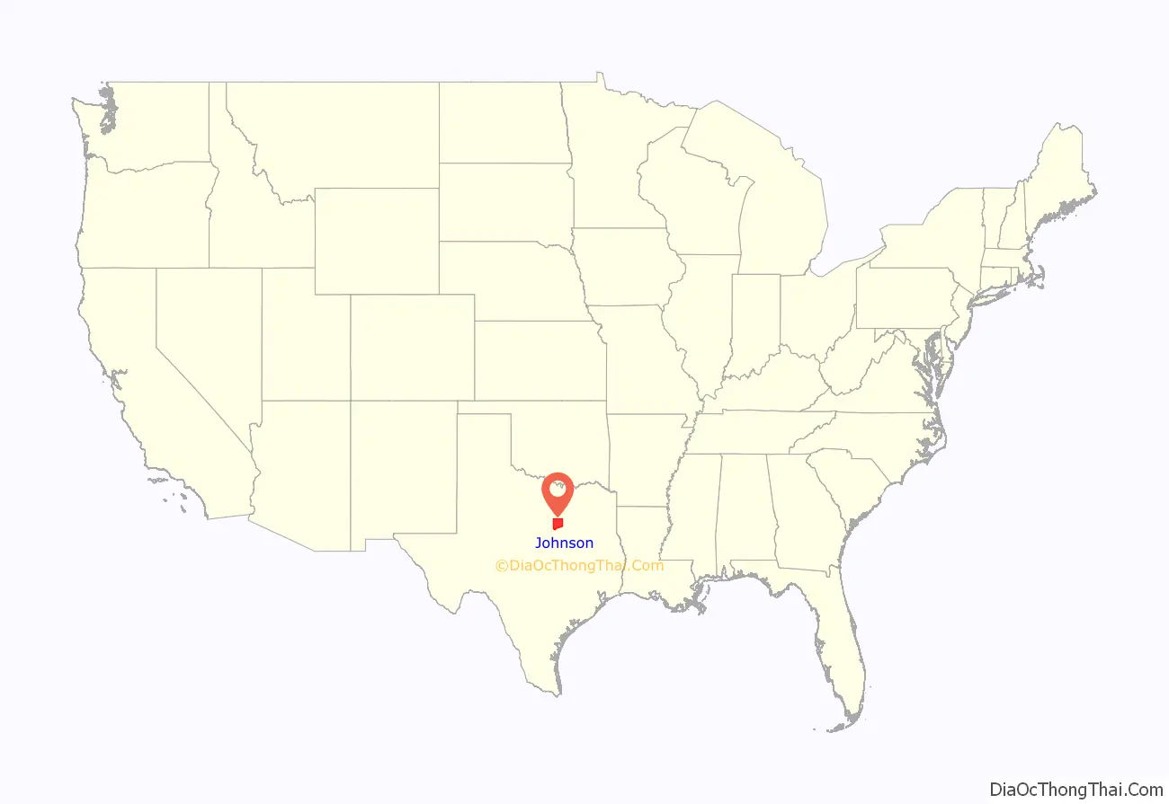
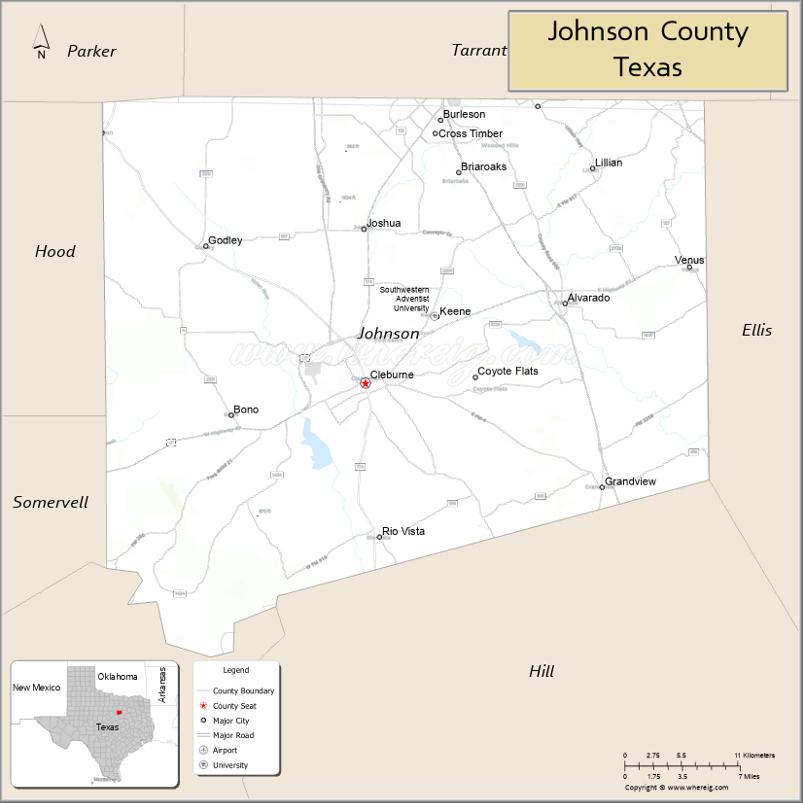
Johnson County location map. Where is Johnson County?
History
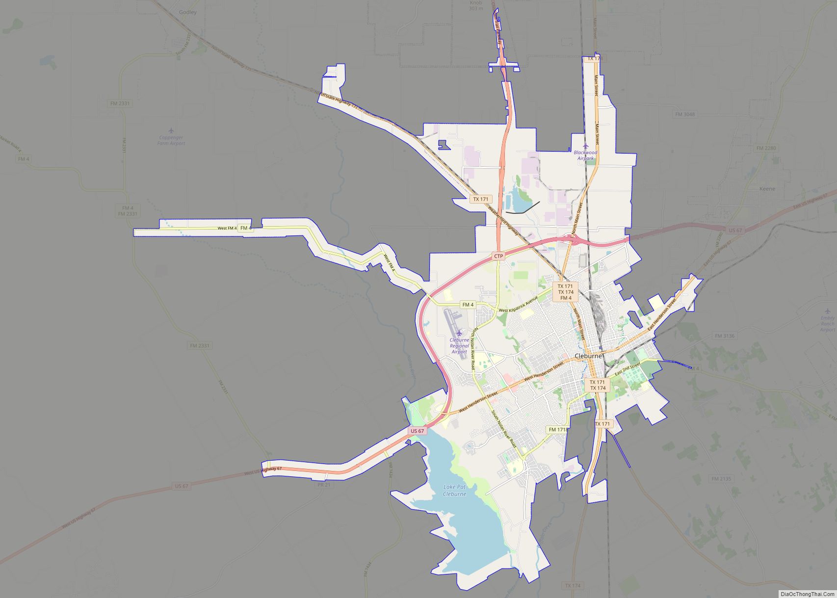
The first settler of Johnson County was Henry Briden, who built a log cabin on the Nolan River in 1849. His log cabin still exists, and can be seen along State Highway 174 in Rio Vista, Texas. The first county seat was Wardville, now located under the waters of Lake Pat Cleburne. In 1856, Buchanan became the county seat. Johnson County was divided in 1866, with the western half becoming Hood County. Camp Henderson became the new county seat and was renamed Cleburne in honor of Confederate General Patrick Cleburne.
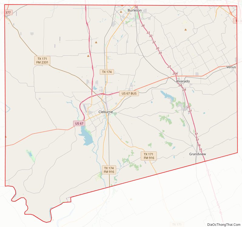
Johnson County Road Map
Geography
According to the U.S. Census Bureau, the county has a total area of 734 square miles (1,900 km), of which 725 square miles (1,880 km) are land and 9.8 square miles (25 km) (1.3%) are covered by water.
Major highways
- I-35W
- I-35 BL
- U.S. Highway 67
- U.S. Highway 287
- U.S. Highway 377
- State Highway 81
- State Highway 171
- State Highway 174
Adjacent counties
- Tarrant County (north)
- Dallas County (northeast)
- Ellis County (east)
- Hill County (south)
- Bosque County (southwest)
- Somervell County (southwest)
- Hood County (west)
- Parker County (northwest)
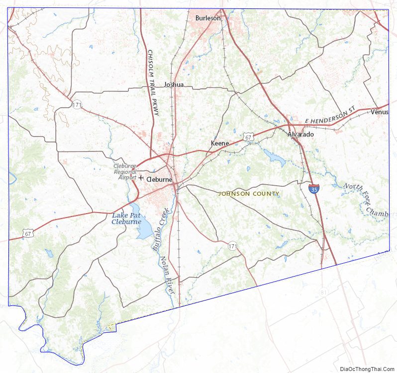
Johnson County Topographic Map
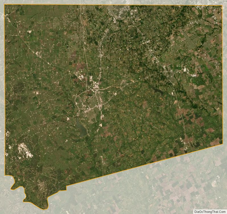
Johnson County Satellite Map
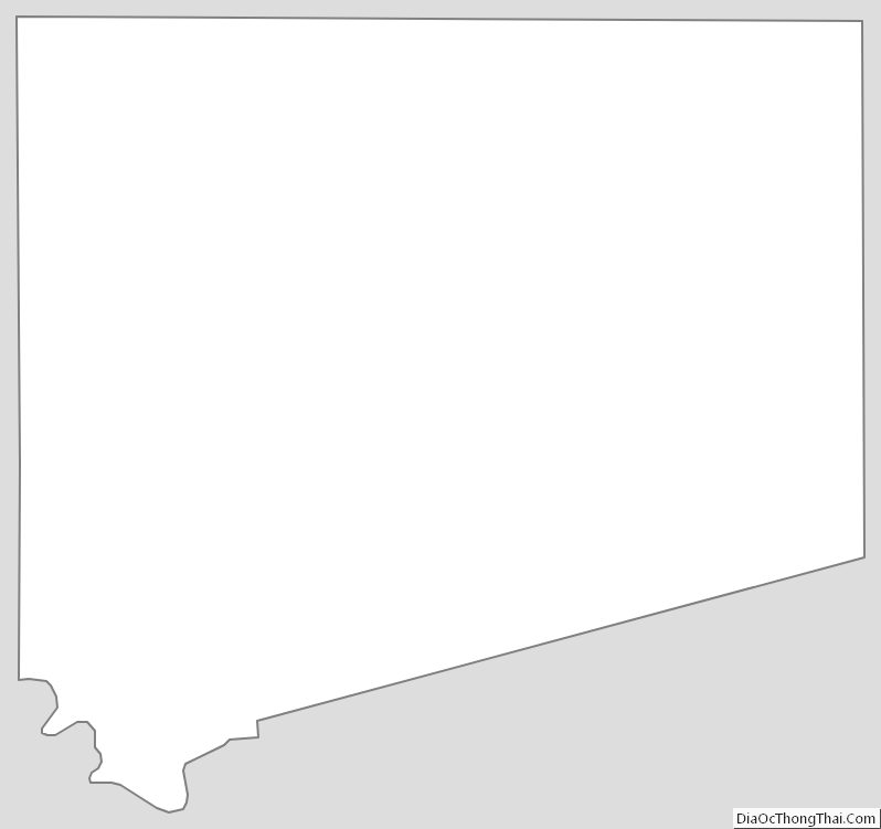
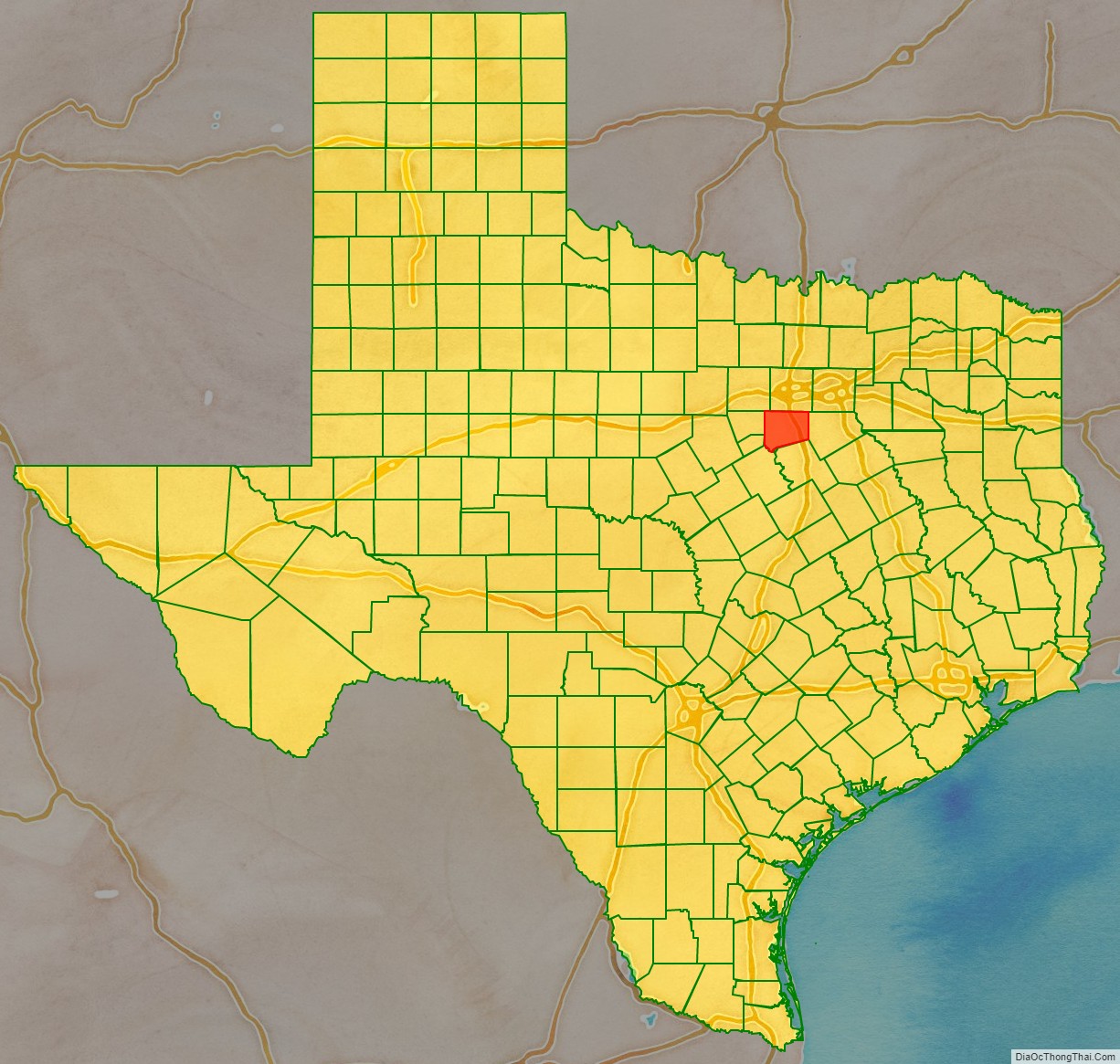
Johnson County Outline Map