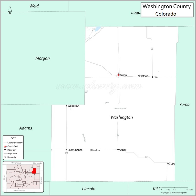
Washington County is a county located in the eastern side of the U.S. state of Colorado. As of the 2020 census, the population was 4,817. The county seat is Akron. The county was named in honor of the United States President George Washington.
| Name: | Washington County |
|---|---|
| FIPS code: | 08-121 |
| State: | Colorado |
| Founded: | February 9, 1887 |
| Named for: | George Washington |
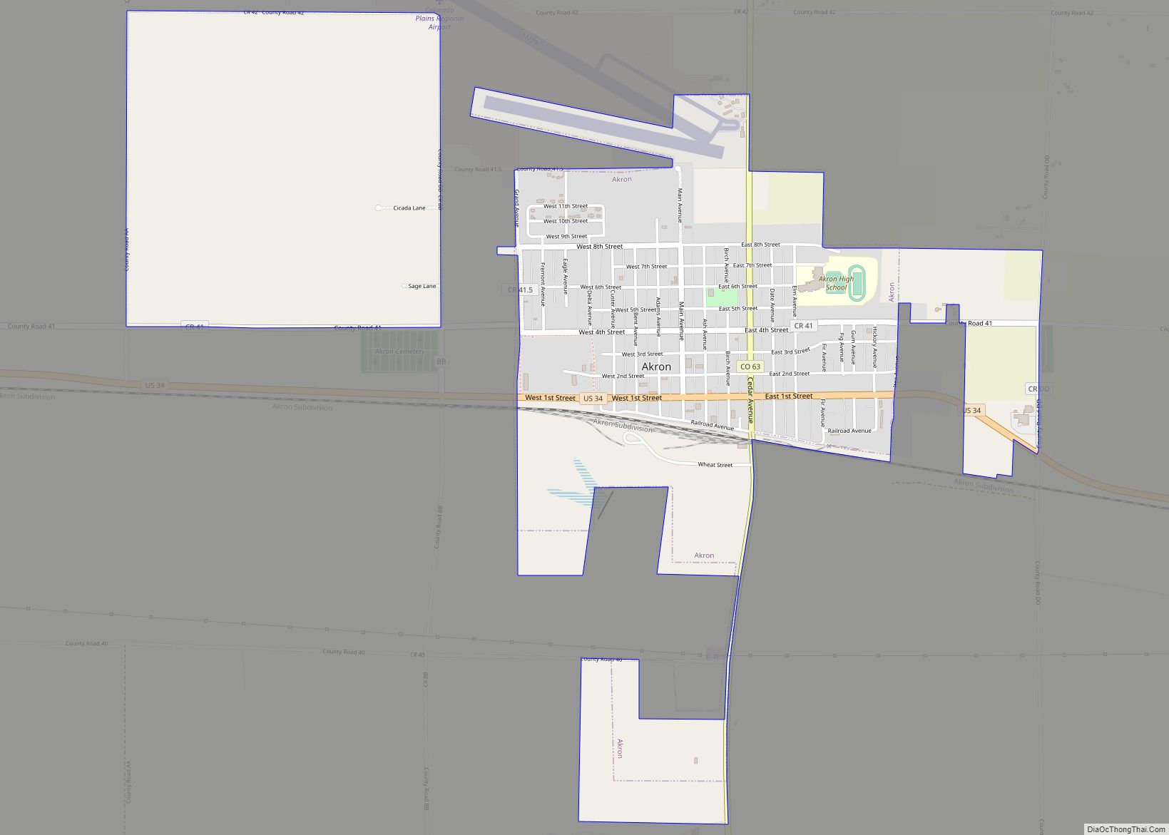
| Seat: | Akron |
| Largest town: | Akron |
| Total Area: | 2,524 sq mi (6,540 km²) |
| Land Area: | 2,518 sq mi (6,520 km²) |
| Total Population: | 4,817 |
| Population Density: | 1.9/sq mi (0.7/km²) |
| Time zone: | UTC−7 (Mountain) |
| Summer Time Zone (DST): | UTC−6 (MDT) |
| Website: | washingtoncounty.colorado.gov |
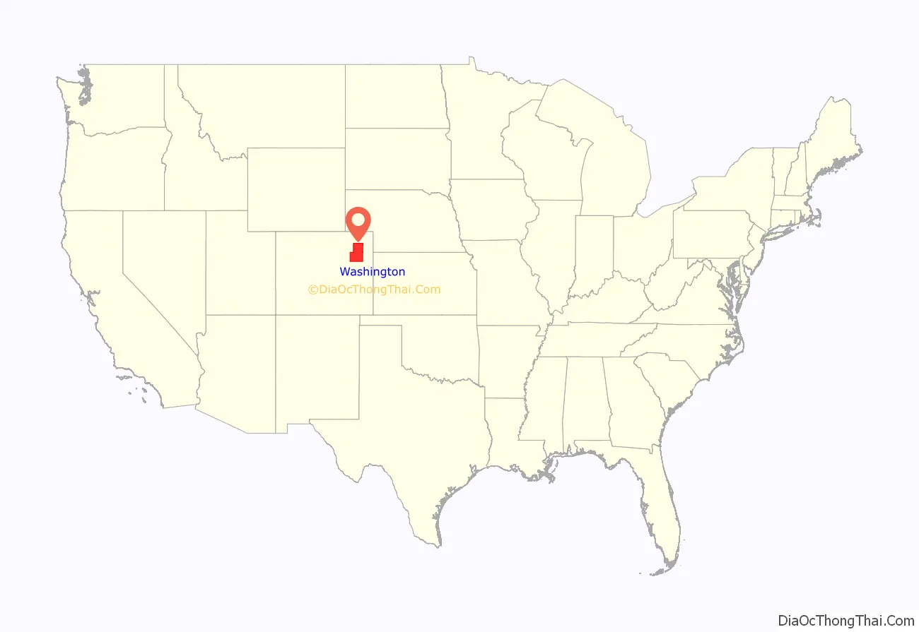
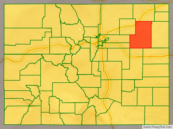
Washington County location map. Where is Washington County?
History
Colorado State Legislature made Washington County out of larger Weld County in 1887. In 1889, Washington County’s eastern half formed Yuma County. In 1903, Arapahoe County ceded its eastern portion to Washington County to create its present form.
Like many Counties in Eastern Colorado, The Great Depression affected Washington County, bringing its population down significantly. Recently growth has been stagment.
Washington County’s Eastern Colorado Roundup is home to Colorado‘s first home-owned carnival held on every July annually. There are activities such as rodeos, various rides, and animals to see.
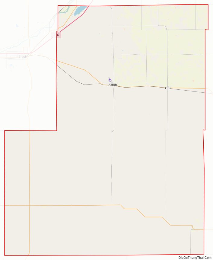
Washington County Road Map
Geography
According to the U.S. Census Bureau, the county has a total area of 2,524 square miles (6,540 km), of which 2,518 square miles (6,520 km) is land and 5.9 square miles (15 km) (0.2%) is water.
Adjacent counties
- Logan County – northeast
- Yuma County – east
- Kit Carson County – southeast
- Lincoln County – southwest
- Adams County – west
- Arapahoe County – west
- Morgan County – northwest
Major Highways
- Interstate 76
- I-76 BS
- U.S. Highway 34
- U.S. Highway 36
- State Highway 59
- State Highway 61
- State Highway 63
- State Highway 71
Trails and byways
- American Discovery Trail
- South Platte Trail
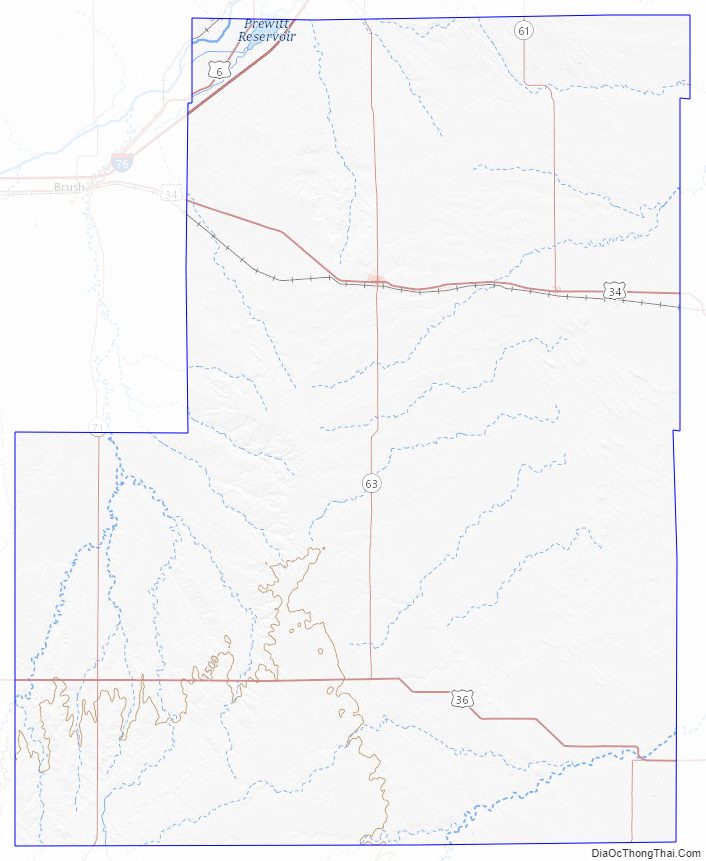
Washington County Topographic Map
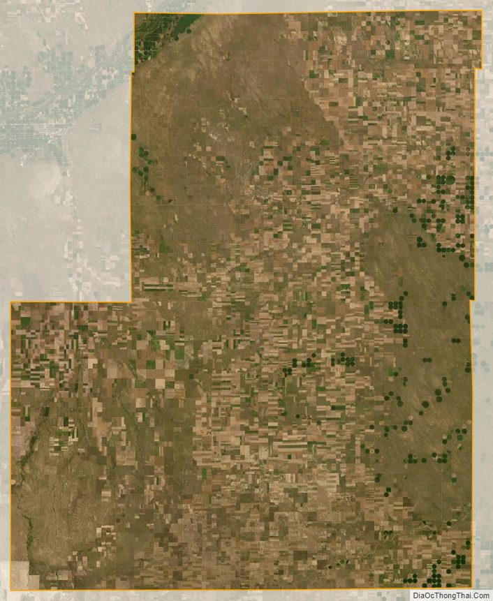
Washington County Satellite Map
Washington County Outline Map