Burlington is a home rule municipality and the county seat and most populous community of Kit Carson County, Colorado, United States. The city population was 3,172 at the 2020 United States Census.
| Name: | Burlington city |
|---|---|
| LSAD Code: | 25 |
| LSAD Description: | city (suffix) |
| State: | Colorado |
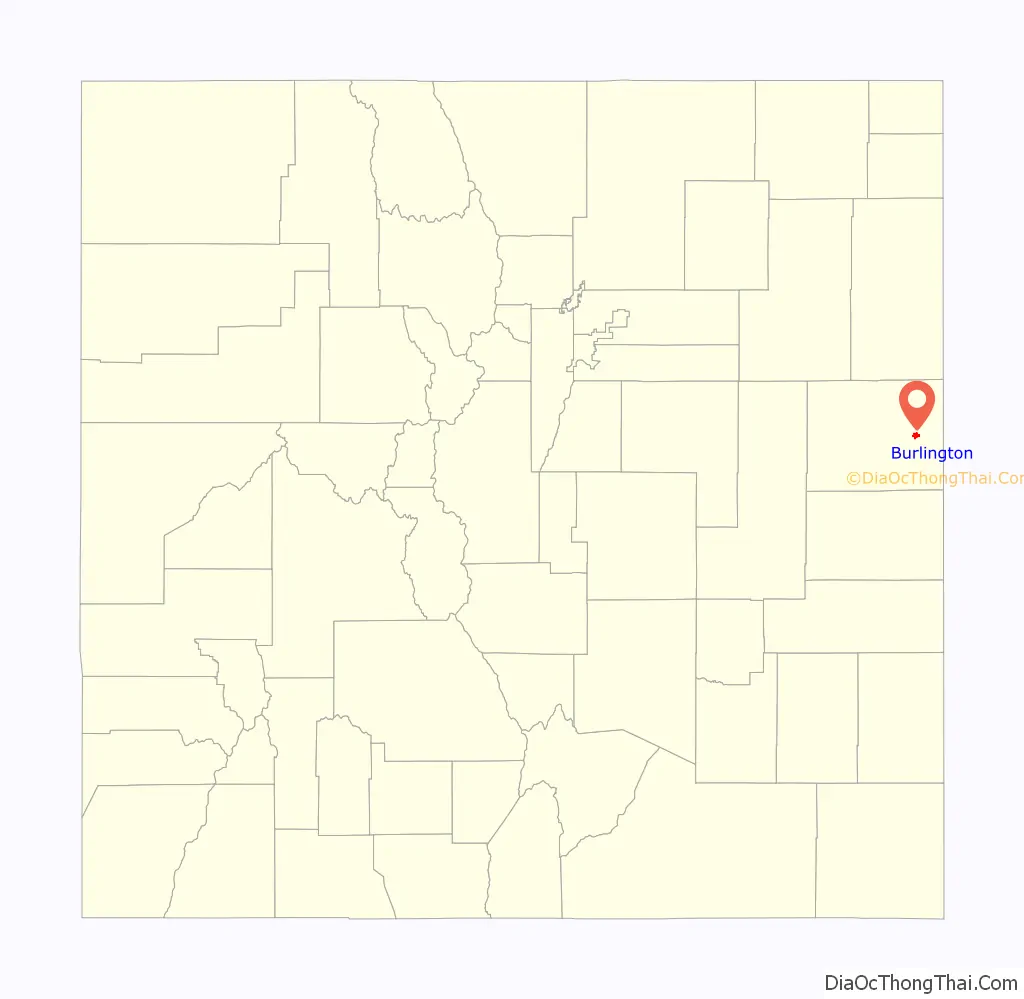
| County: | Kit Carson County |
| Elevation: | 4,170 ft (1,271 m) |
| Total Area: | 2.153 sq mi (5.575 km²) |
| Land Area: | 2.153 sq mi (5.575 km²) |
| Water Area: | 0.000 sq mi (0.000 km²) |
| Total Population: | 3,172 |
| Population Density: | 1,474/sq mi (569/km²) |
| ZIP code: | 80807 |
| Area code: | 719 |
| FIPS code: | 0810600 |
| Website: | www.burlingtoncolo.com |
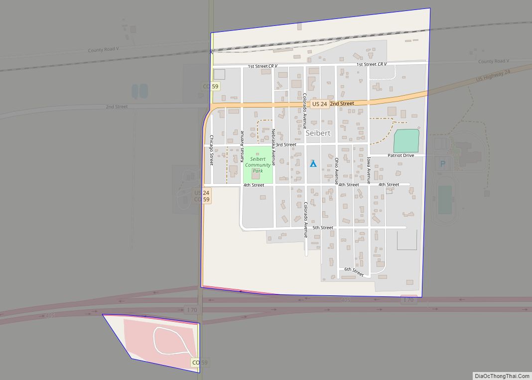
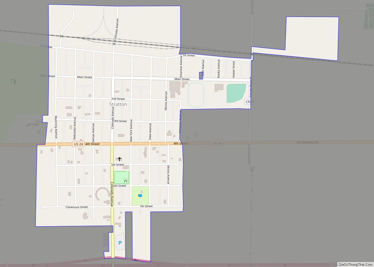
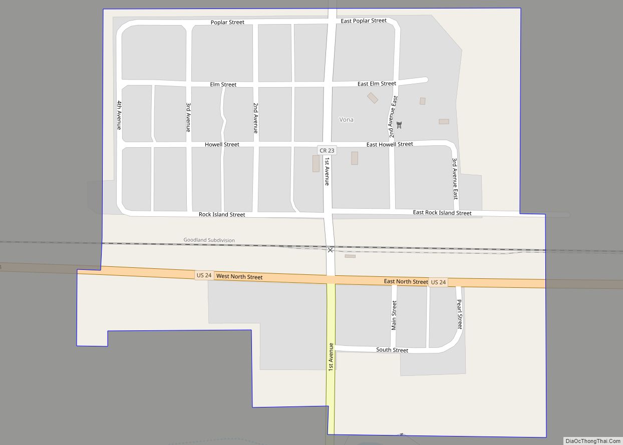
Online Interactive Map
Click on ![]() to view map in "full screen" mode.
to view map in "full screen" mode.
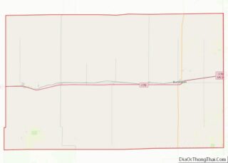
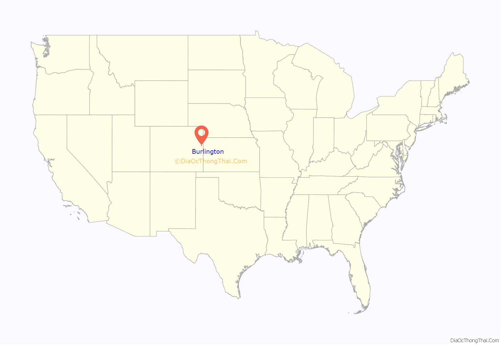
Burlington location map. Where is Burlington city?
History
Burlington was originally laid out one mile west of its present location in 1887 by a man named Lowell in anticipation of the arrival of the railroad. In addition to having the location wrong, Lowell also did not have title to the land. When the railroad did arrive, the Chicago, Rock Island and Pacific Railroad, it built its depot at the present site of Burlington and those who had built in Old Burlington moved their buildings to the new townsite. Trains began running in 1888. “The Settlement”, about 12 miles northwest of Burlington, was settled by German immigrants from Russia, many from Hoffnungstal, South Russia, who, in addition to their homesteads, built Congregational and Lutheran churches.
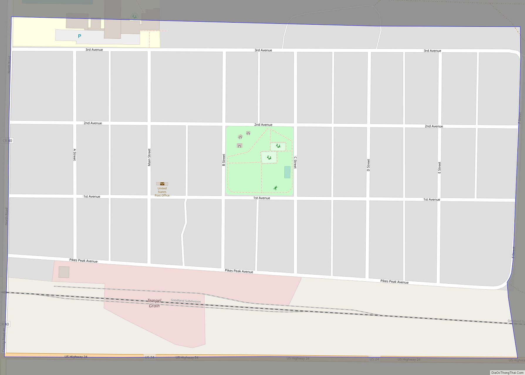
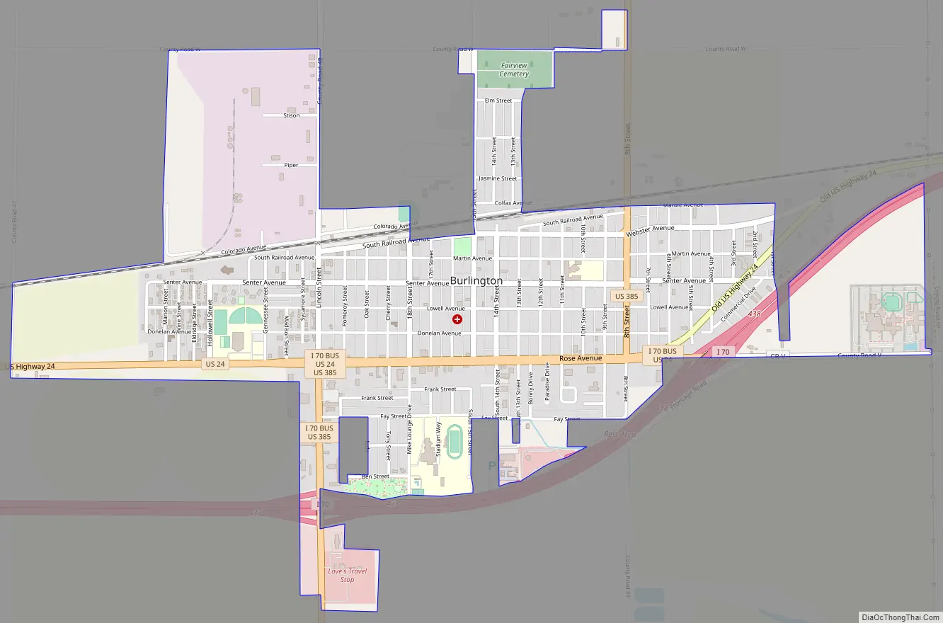
Burlington Road Map
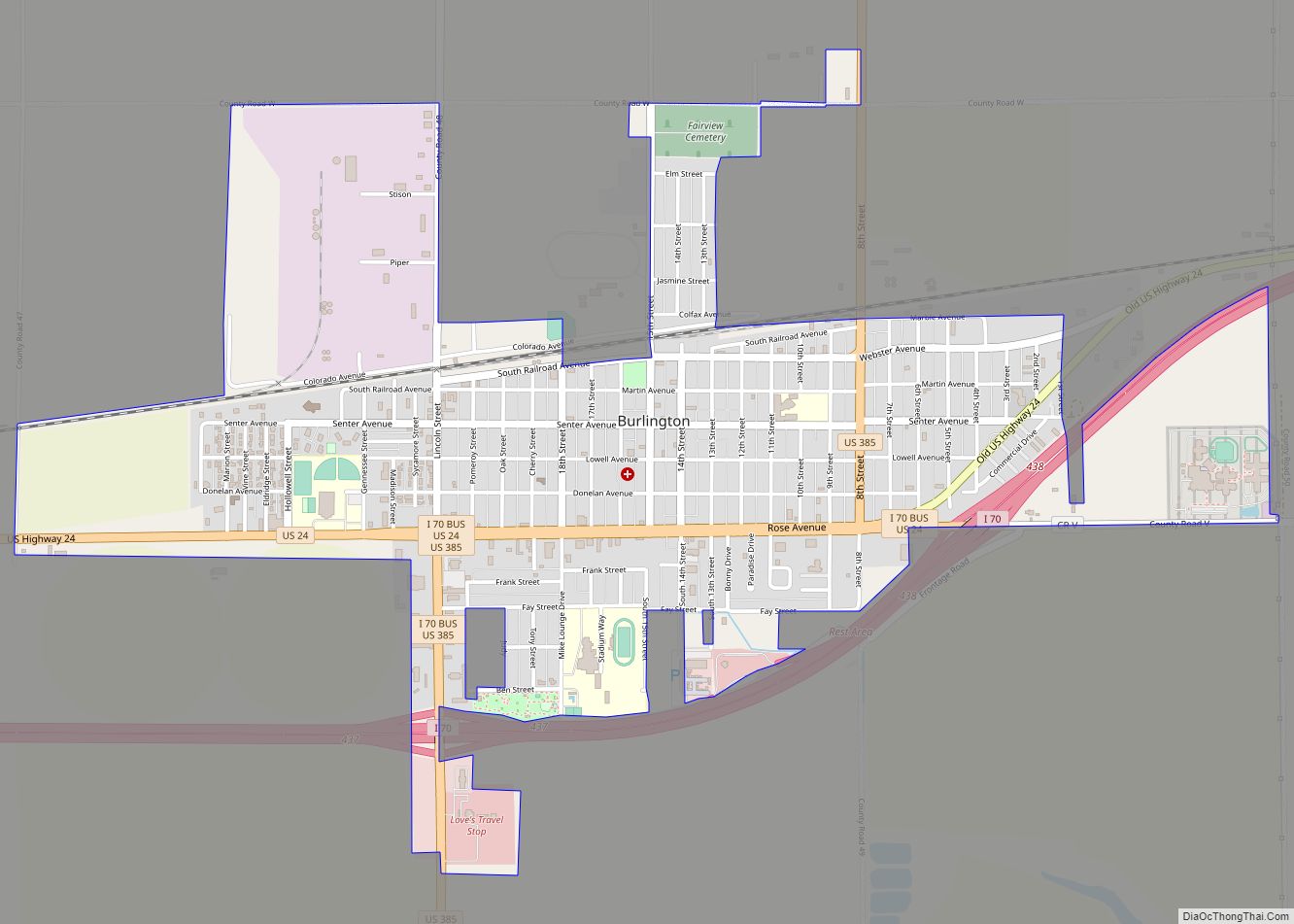
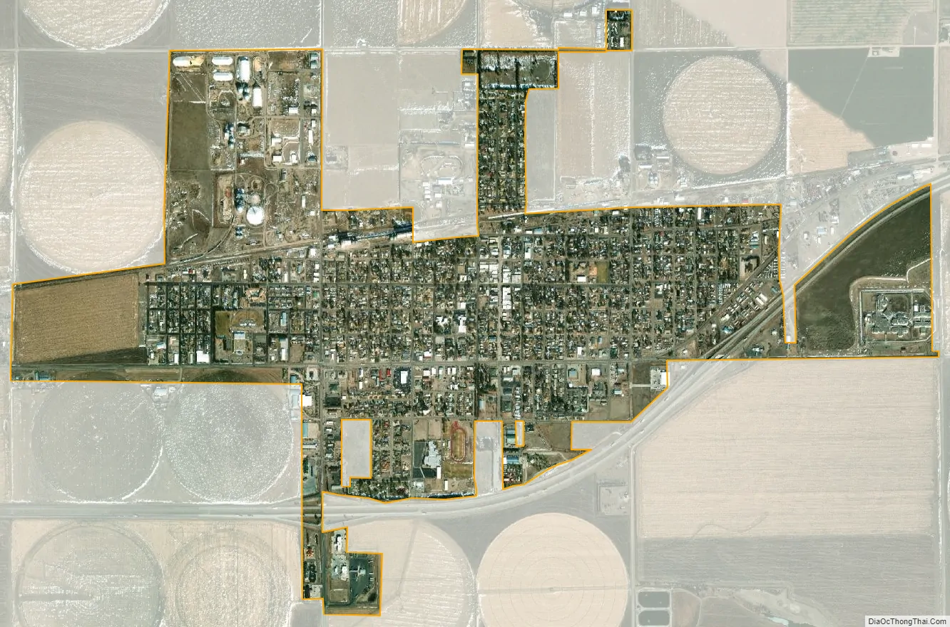
Burlington city Satellite Map
Geography
Burlington is located at 39°18′15″N 102°16′7″W / 39.30417°N 102.26861°W / 39.30417; -102.26861 (39.304293, -102.268683) on the High Plains in eastern Colorado.
At the 2020 United States Census, the city had a total area of 1,378 acres (5.575 km), all of it land.
The easternmost interchange in Colorado on Interstate 70 is located at Burlington.
Climate
Burlington has a typical High Plains cool semi-arid climate with hot, dry summers punctuated by occasional heavy thunderstorm rains, and cold, very dry winters. Snowfall is occasionally heavy – the 1971 to 2000 mean was 35.5 inches or 0.90 metres – but mostly the winter weather is very dry and extremely variable in temperatures. More than 33 afternoons (over a third) each winter can be expected to reach or exceed 50 °F or 10 °C, but 6.5 mornings each year will drop to or under 0 °F (−17.8 °C) and 24.6 afternoons do not top freezing.
See also
Map of Colorado State and its subdivision:- Adams
- Alamosa
- Arapahoe
- Archuleta
- Baca
- Bent
- Boulder
- Broomfield
- Chaffee
- Cheyenne
- Clear Creek
- Conejos
- Costilla
- Crowley
- Custer
- Delta
- Denver
- Dolores
- Douglas
- Eagle
- El Paso
- Elbert
- Fremont
- Garfield
- Gilpin
- Grand
- Gunnison
- Hinsdale
- Huerfano
- Jackson
- Jefferson
- Kiowa
- Kit Carson
- La Plata
- Lake
- Larimer
- Las Animas
- Lincoln
- Logan
- Mesa
- Mineral
- Moffat
- Montezuma
- Montrose
- Morgan
- Otero
- Ouray
- Park
- Phillips
- Pitkin
- Prowers
- Pueblo
- Rio Blanco
- Rio Grande
- Routt
- Saguache
- San Juan
- San Miguel
- Sedgwick
- Summit
- Teller
- Washington
- Weld
- Yuma
- Alabama
- Alaska
- Arizona
- Arkansas
- California
- Colorado
- Connecticut
- Delaware
- District of Columbia
- Florida
- Georgia
- Hawaii
- Idaho
- Illinois
- Indiana
- Iowa
- Kansas
- Kentucky
- Louisiana
- Maine
- Maryland
- Massachusetts
- Michigan
- Minnesota
- Mississippi
- Missouri
- Montana
- Nebraska
- Nevada
- New Hampshire
- New Jersey
- New Mexico
- New York
- North Carolina
- North Dakota
- Ohio
- Oklahoma
- Oregon
- Pennsylvania
- Rhode Island
- South Carolina
- South Dakota
- Tennessee
- Texas
- Utah
- Vermont
- Virginia
- Washington
- West Virginia
- Wisconsin
- Wyoming