Knox County is a county located in the northeast portion of the U.S. state of Missouri. As of the 2020 census, its population was 3,744, making it the third-least populous county in Missouri. Its county seat is Edina. The county was organized February 14, 1845 and named for U.S. Secretary of War General Henry Knox.
| Name: | Knox County |
|---|---|
| FIPS code: | 29-103 |
| State: | Missouri |
| Founded: | February 14, 1845 |
| Named for: | Henry Knox |
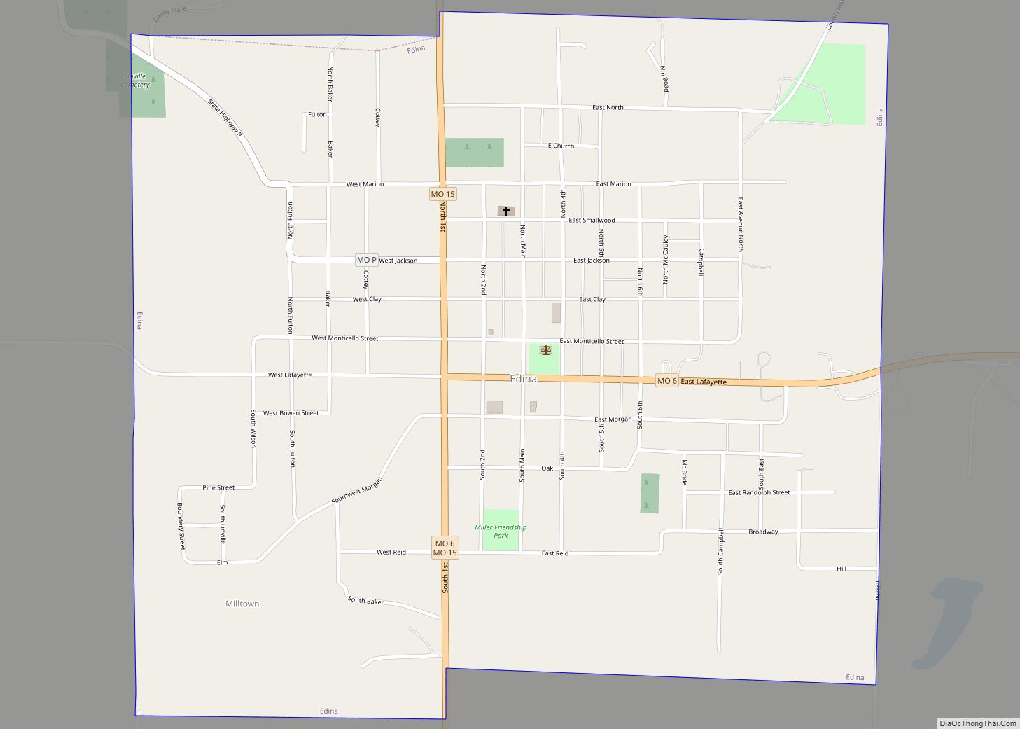
| Seat: | Edina |
| Largest city: | Edina |
| Total Area: | 507 sq mi (1,310 km²) |
| Land Area: | 504 sq mi (1,310 km²) |
| Total Population: | 3,744 |
| Population Density: | 7.4/sq mi (2.9/km²) |
| Time zone: | UTC−6 (Central) |
| Summer Time Zone (DST): | UTC−5 (CDT) |
| Website: | www.knoxcountymo.org |
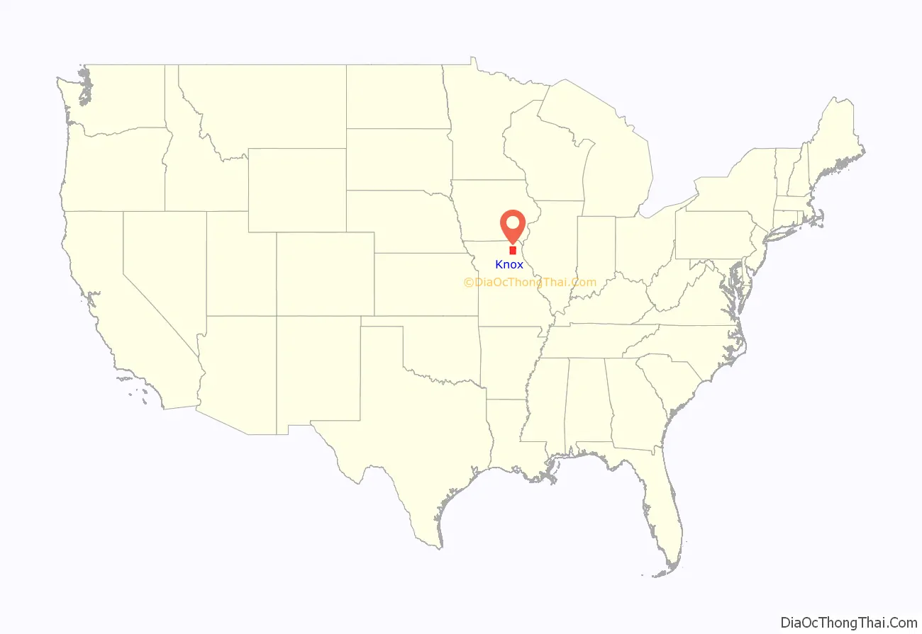
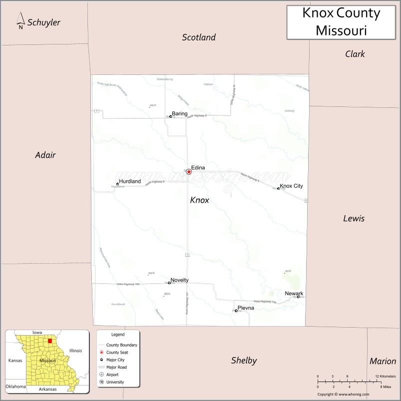
Knox County location map. Where is Knox County?

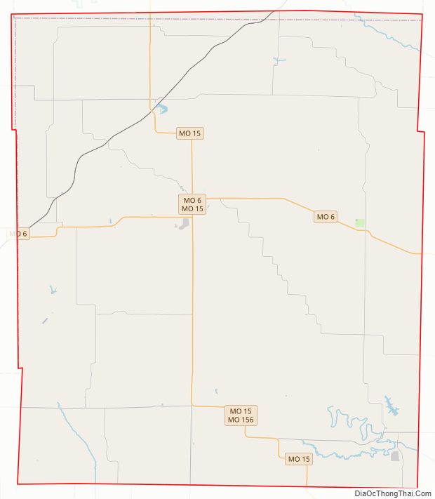
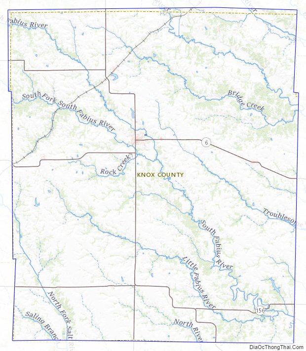
Knox County Road Map
Geography
According to the U.S. Census Bureau, the county has a total area of 507 square miles (1,310 km), of which 504 square miles (1,310 km) is land and 2.8 square miles (7.3 km) (0.6%) is water.
Adjacent counties
- Scotland County (north)
- Clark County (northeast)
- Lewis County (east)
- Shelby County (south)
- Macon County (southwest)
- Adair County (west)
Major highways
- Route 6
- Route 11
- Route 15
- Route 151
- Route 156
Knox County Topographic Map
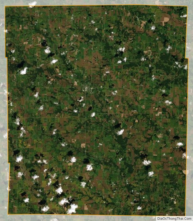
Knox County Satellite Map
Knox County Outline Map