| Name: | Lake County |
|---|---|
| FIPS code: | 08-065 |
| State: | Colorado |
| Founded: | November 1, 1861 |
| Named for: | Twin Lakes in the area |
| Seat: | Leadville |
| Largest city: | Leadville |
| Total Area: | 384 sq mi (990 km²) |
| Land Area: | 377 sq mi (980 km²) |
| Total Population: | 7,436 |
| Population Density: | 20/sq mi (8/km²) |
| Time zone: | UTC−7 (Mountain) |
| Summer Time Zone (DST): | UTC−6 (MDT) |
| Website: | www.lakecountyco.com |
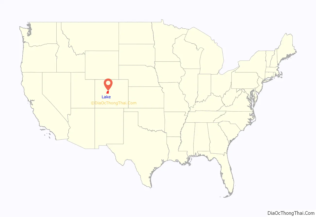
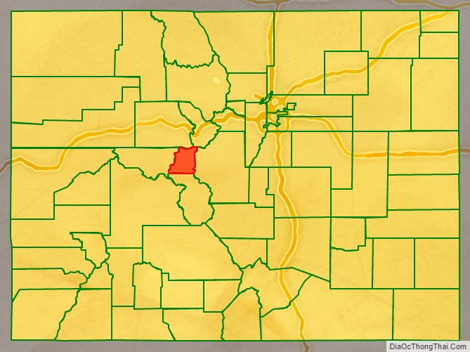
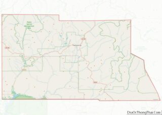
Lake County location map. Where is Lake County?
History
Lake County was one of the original 17 counties created by the Colorado legislature on November 1, 1861. As originally defined, Lake County included a large portion of western Colorado to the south and west of its present boundaries. The county was named for Twin Lakes.
Placer gold was found at Colorado Gulch in 1863 as part of the Colorado Gold Rush.
Lake County slowly lost territory over the succeeding decades, losing land in its southeast to Saguache County in 1866 and Hinsdale County in 1874; in its southwest to La Plata County in 1874 and San Juan County in 1876, and in its west to Ouray and Gunnison counties in 1877.
With its many reductions in size, Lake County’s designated county seat also changed multiple times within just a few years, residing successively in Oro City (from 1861), Lourette (from 1863), Dayton (from 1866), and Granite (from 1868).
By 1878, Lake County had been reduced to an area including only present-day Lake and Chaffee counties. On February 8, 1879, the Colorado legislature renamed Lake County as Carbonate County, although this designation name only lasted for two days, until Chaffee County was split off from Carbonate’s southern section on February 10 and the remaining northern portion was redesignated Lake County with its current county seat of Leadville.
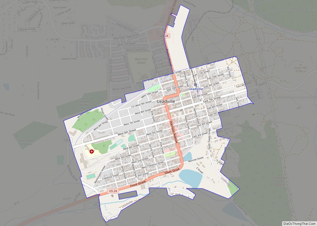
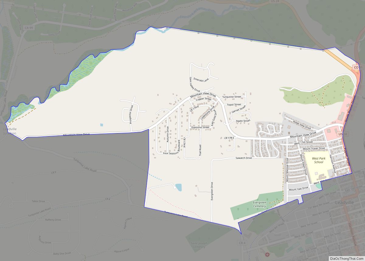
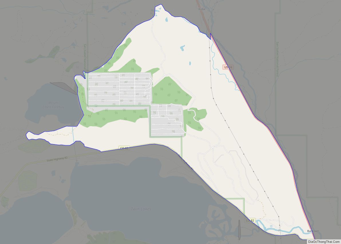
Lake County Road Map
Geography
According to the U.S. Census Bureau, the county has a total area of 384 square miles (990 km), of which 377 square miles (980 km) is land and 7.0 square miles (18 km) (1.8%) is water. It is the fourth-smallest county in Colorado by area.
Adjacent counties
- Eagle County – north
- Summit County – northeast
- Park County – east
- Chaffee County – south
- Pitkin County – west
Major Highways
- U.S. Highway 24
- State Highway 82
- State Highway 91
