Summit County is a county located in the U.S. state of Colorado. As of the 2020 census, the population was 31,055. The county seat and largest town is Breckenridge.
Summit County comprises the Breckenridge, CO Micropolitan Statistical Area.
| Name: | Summit County |
|---|---|
| FIPS code: | 08-117 |
| State: | Colorado |
| Founded: | November 1, 1861 |
| Named for: | Continental Divide |
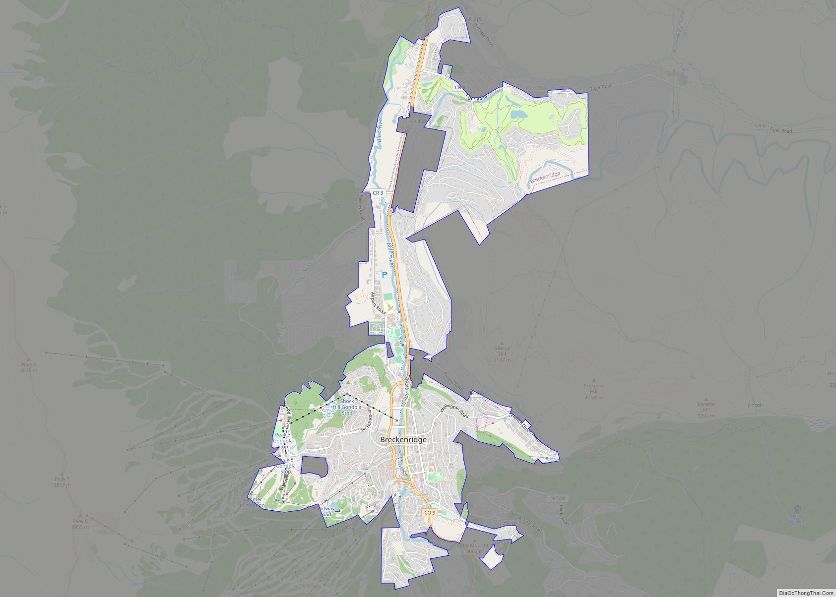
| Seat: | Breckenridge |
| Largest town: | Breckenridge |
| Total Area: | 619 sq mi (1,600 km²) |
| Land Area: | 608 sq mi (1,570 km²) |
| Total Population: | 30,941 |
| Population Density: | 51/sq mi (20/km²) |
| Time zone: | UTC−7 (Mountain) |
| Summer Time Zone (DST): | UTC−6 (MDT) |
| Website: | www.summitcountyco.gov |
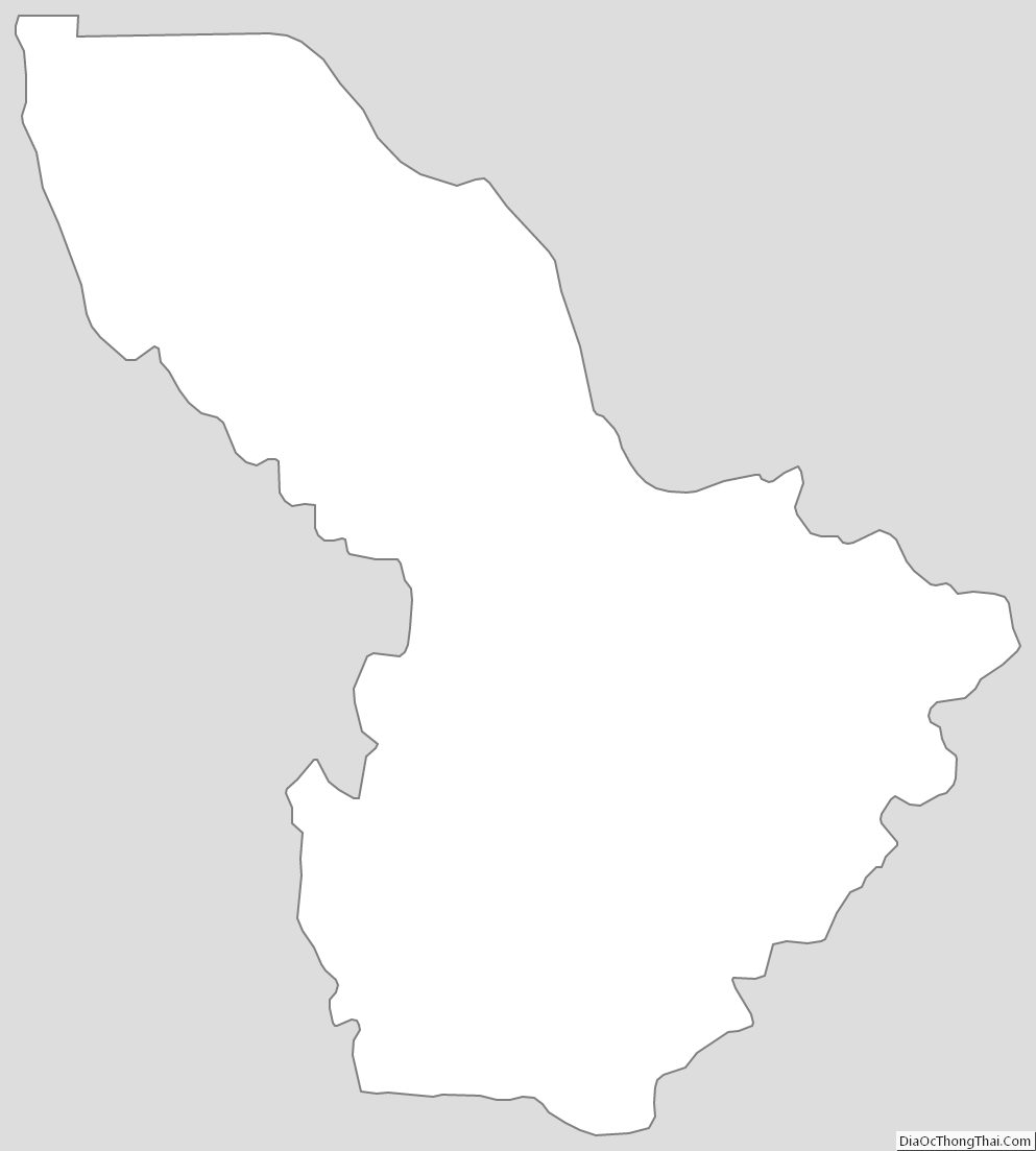
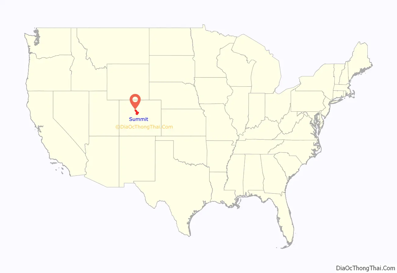
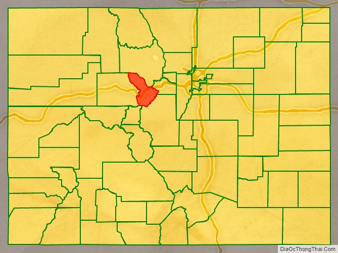
Summit County location map. Where is Summit County?
History
Summit County was organized as one of the seventeen original Colorado counties by the First Territorial Legislature on November 1, 1861. It was named for the many mountain summits in the county. Until February 2, 1874, its boundaries included the area now comprising Summit County, Grand County, Routt County, Moffat County, Garfield County, Eagle County, and Rio Blanco County.
In 1874, the northern half of the original Summit County was split off to form Grand County; with the creation of Garfield and Eagle counties in 1883, Summit County arrived at its present boundaries. In addition, Summit County has seen two major boom eras.
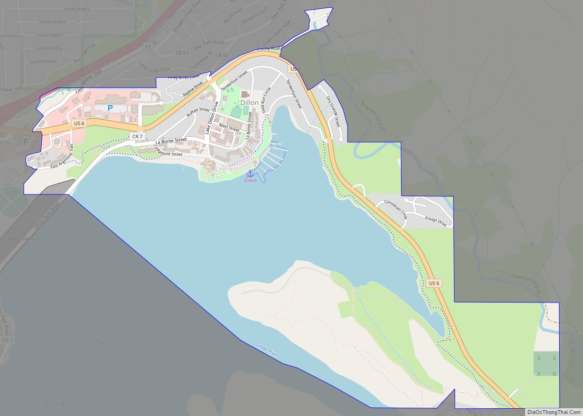
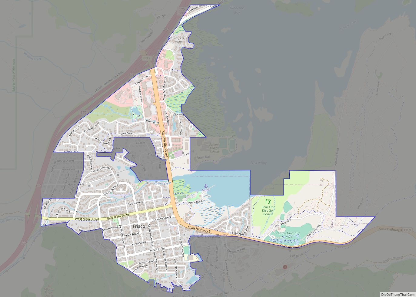
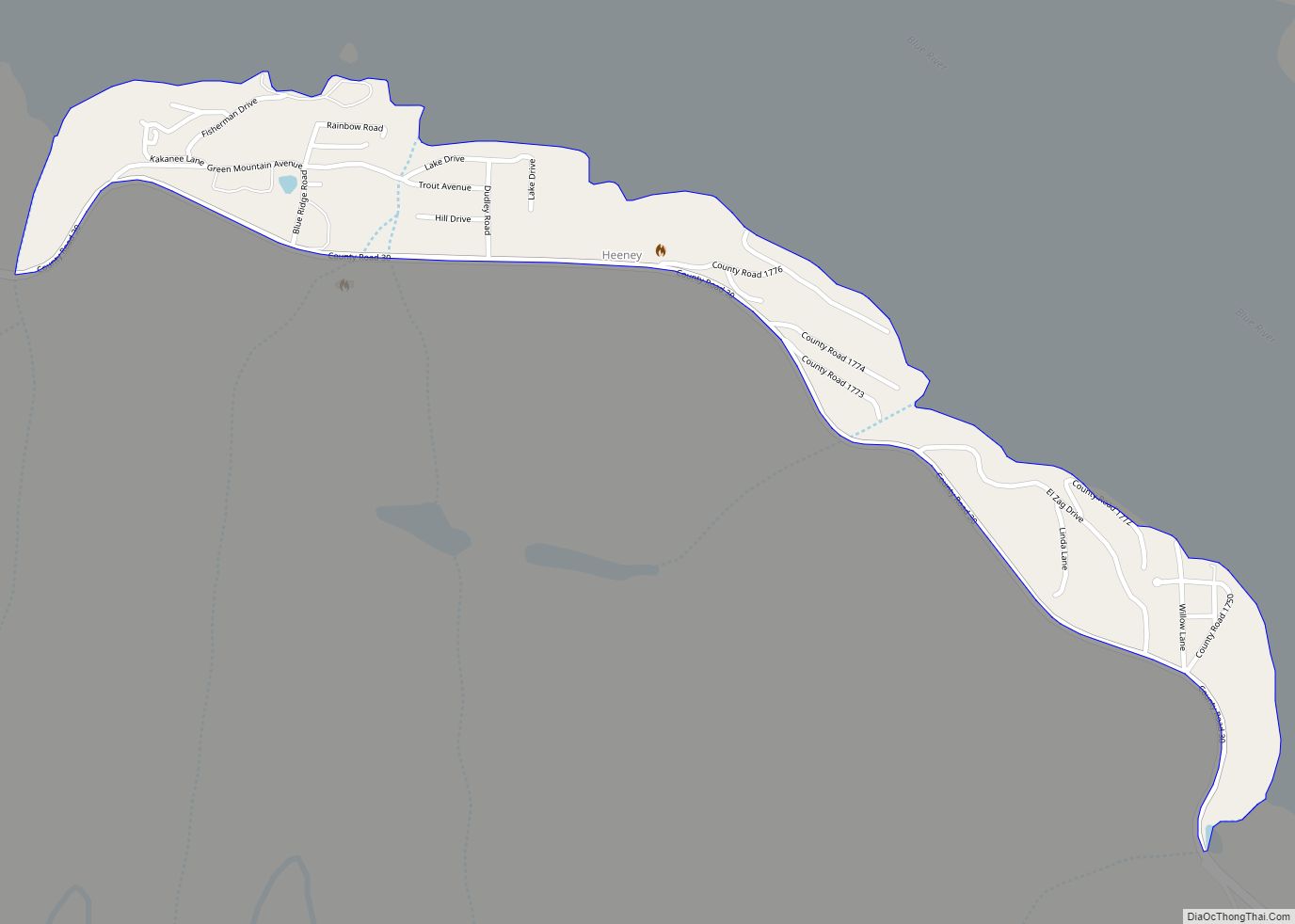
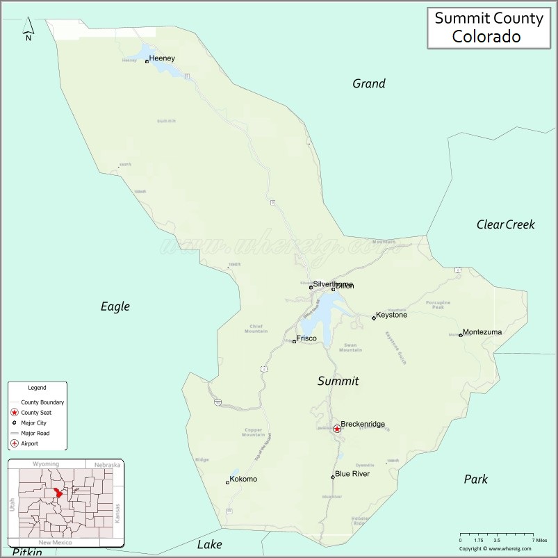
Summit County Road Map
Geography
According to the U.S. Census Bureau, the county has a total area of 619 square miles (1,600 km), of which 608 square miles (1,570 km) is land and 11 square miles (28 km) (1.8%) is water.
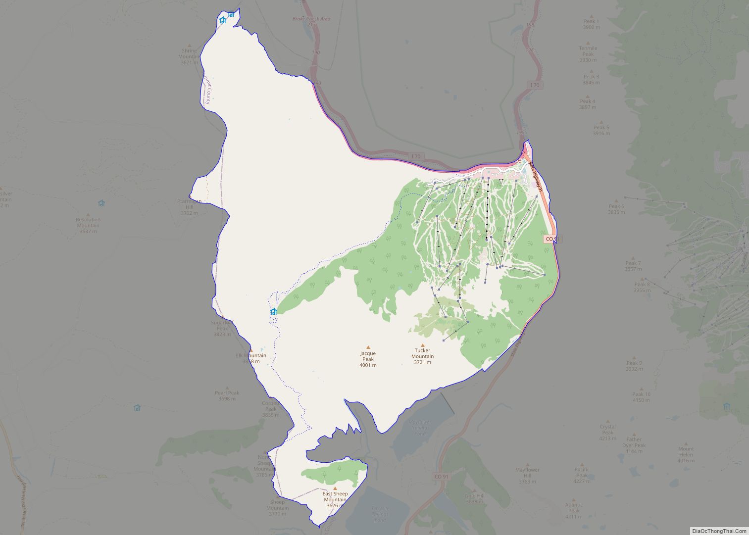
The terrain of the county is mountainous with elevations ranging from 7,957 feet (2,425 m) at Green Mountain Reservoir to 14,270 feet (4,350 m) at Grays Peak. The elevation of the county seat of Breckenridge is 9,602 feet (2,927 m), making it one of the highest cities in the state of Colorado and the United States. Much of the county has an Alpine (ET in the Köppen Classification) characterized by tundra vegetation. Breckenridge and other similar elevations in the county have a Subarctic climate (Dfc) characterized by cool summers and abundant snowfall in winter.
Adjacent counties
- Grand County – north
- Clear Creek County – east
- Park County – southeast
- Lake County – southwest
- Eagle County – west
Major Highways
- Interstate 70
- I-70 BL
- U.S. Highway 6
- State Highway 9
- State Highway 91
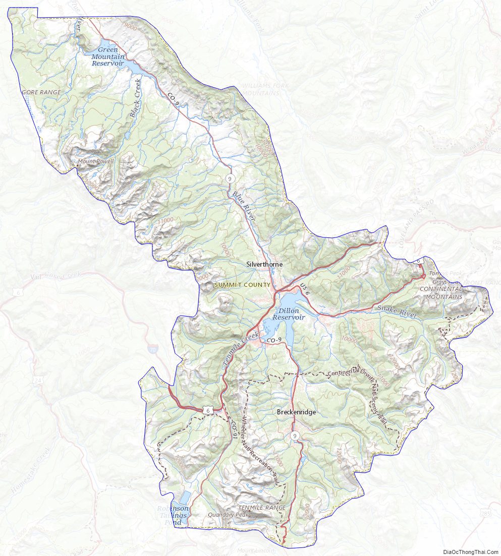
Summit County Topographic Map
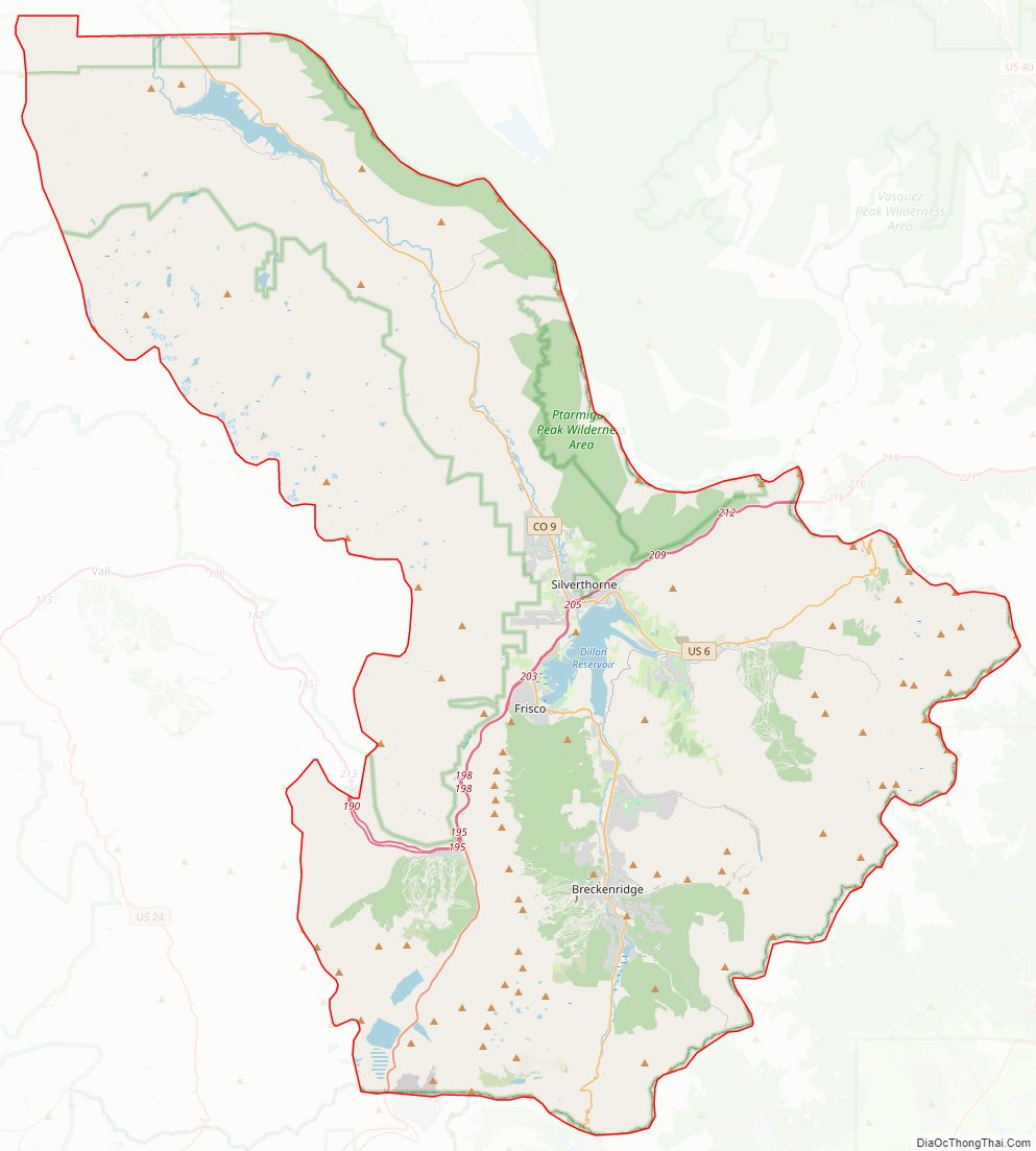
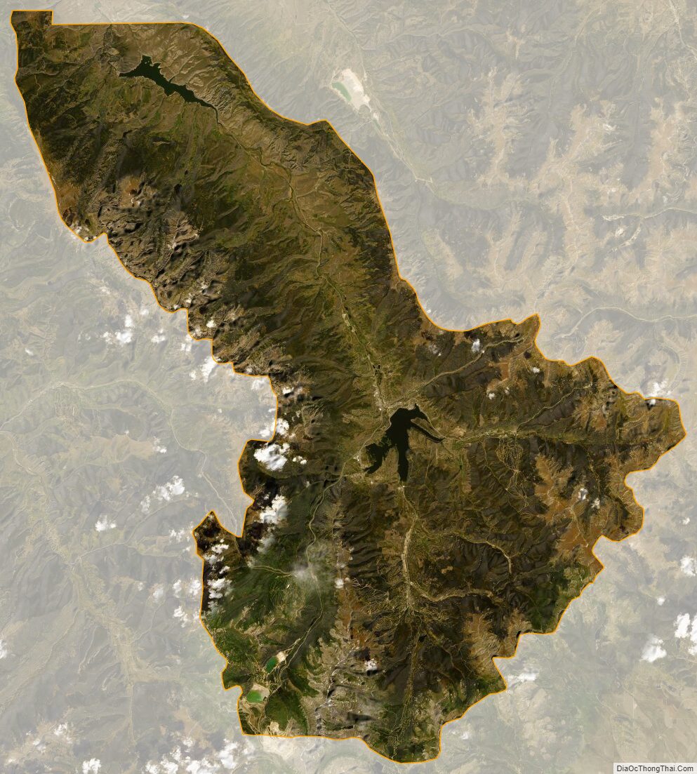
Summit County Satellite Map
Summit County Outline Map