Spearfish (Lakota: Hočhápȟe) is a city in Lawrence County, South Dakota. The population was 12,193 at the time of the 2020 census.
| Name: | Spearfish city |
|---|---|
| LSAD Code: | 25 |
| LSAD Description: | city (suffix) |
| State: | South Dakota |
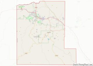
| County: | Lawrence County |
| Founded: | 1876 |
| Incorporated: | 1888 |
| Elevation: | 3,648 ft (1,112 m) |
| Land Area: | 17.24 sq mi (44.64 km²) |
| Water Area: | 0.01 sq mi (0.01 km²) |
| Population Density: | 707.41/sq mi (273.14/km²) |
| ZIP code: | 57783, 57799 |
| Area code: | 605 |
| FIPS code: | 4660020 |
| GNISfeature ID: | 1262476 |
| Website: | www.cityofspearfish.com |
Online Interactive Map
Click on ![]() to view map in "full screen" mode.
to view map in "full screen" mode.
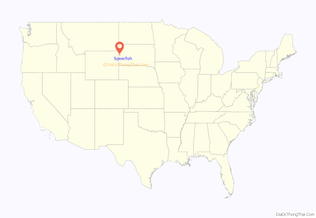
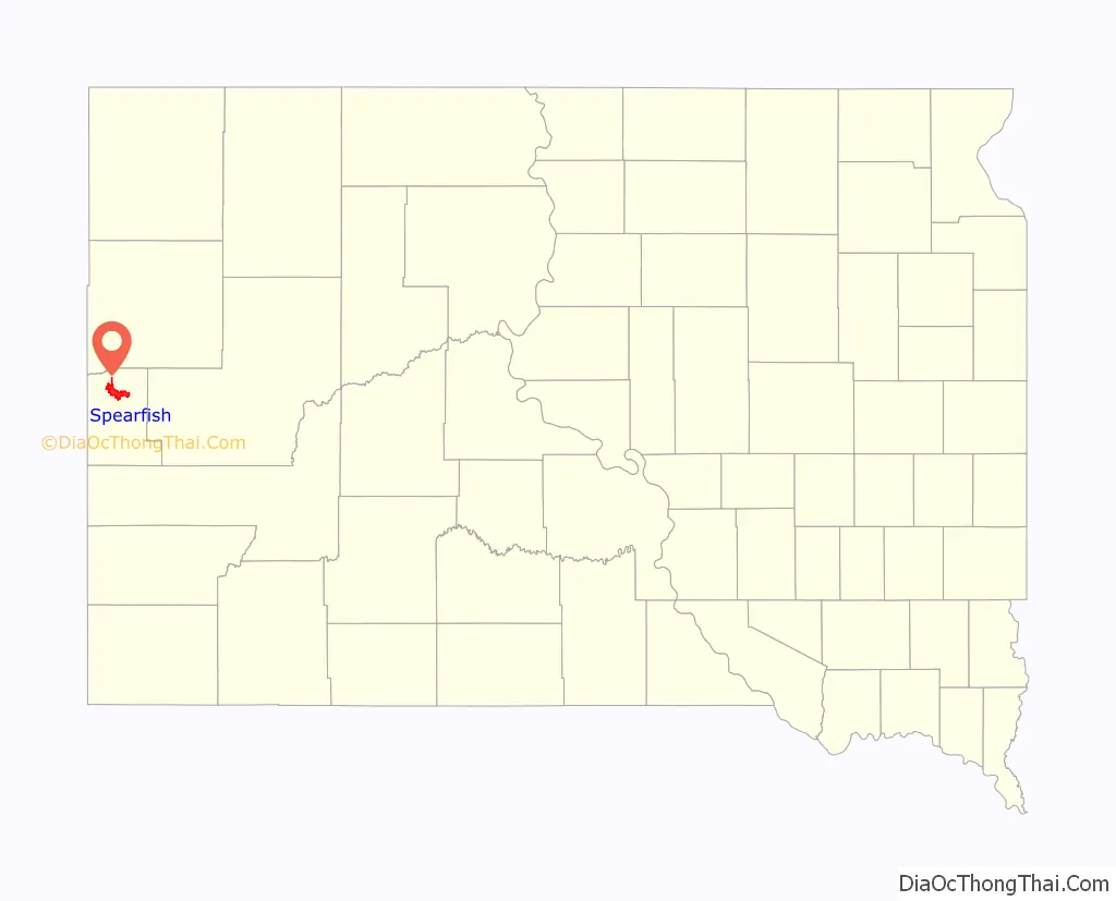
Spearfish location map. Where is Spearfish city?
History
Before the Black Hills Gold Rush of 1876, the area was used by Native Americans (primarily bands of Sioux but others also ranged through the area). Once the gold rush started, the city was founded in 1876 at the mouth of Spearfish Canyon, and was originally called Queen City. Spearfish grew as a supplier of foodstuffs to the mining camps in the hills. Even today, a significant amount of truck farming and market gardening still occurs in the vicinity.
In 1887, the accepted history of gold mining in the Black Hills was thrown into question by the discovery of what has become known as the Thoen Stone. Discovered by Louis Thoen on Lookout Mountain, the stone purports to be the last testament of Ezra Kind who, along with six others, entered the Black Hills in 1833, “got all the gold we could carry” in June 1834, and were subsequently “killed by Indians beyond the high hill.” There is corroborating historical evidence for the Ezra Kind party.
In the 20th century, the history of Spearfish was tied to mining and tourism. Architect Frank Lloyd Wright, who visited Spearfish Canyon in 1935, later called the area “unique and unparalleled elsewhere in our country,” and wondered, “How is it that I’ve heard so little of this miracle and we, toward the Atlantic, have heard so much of the Grand Canyon when this is even more miraculous?”
The Homestake Sawmill (previously part of Pope and Talbot, now owned by Neimen Forest Products) was built to supply timbers for the Homestake Mine in Lead (closed January 2002). In 1938, Joseph Meier brought the Luenen Passion Play to settle permanently in Spearfish and become the Black Hills Passion Play, drawing thousands of visitors every year during the summer months. After Meier’s death in 2007, the amphitheater and 23 acres (93,000 m) surrounding it were put up for sale.
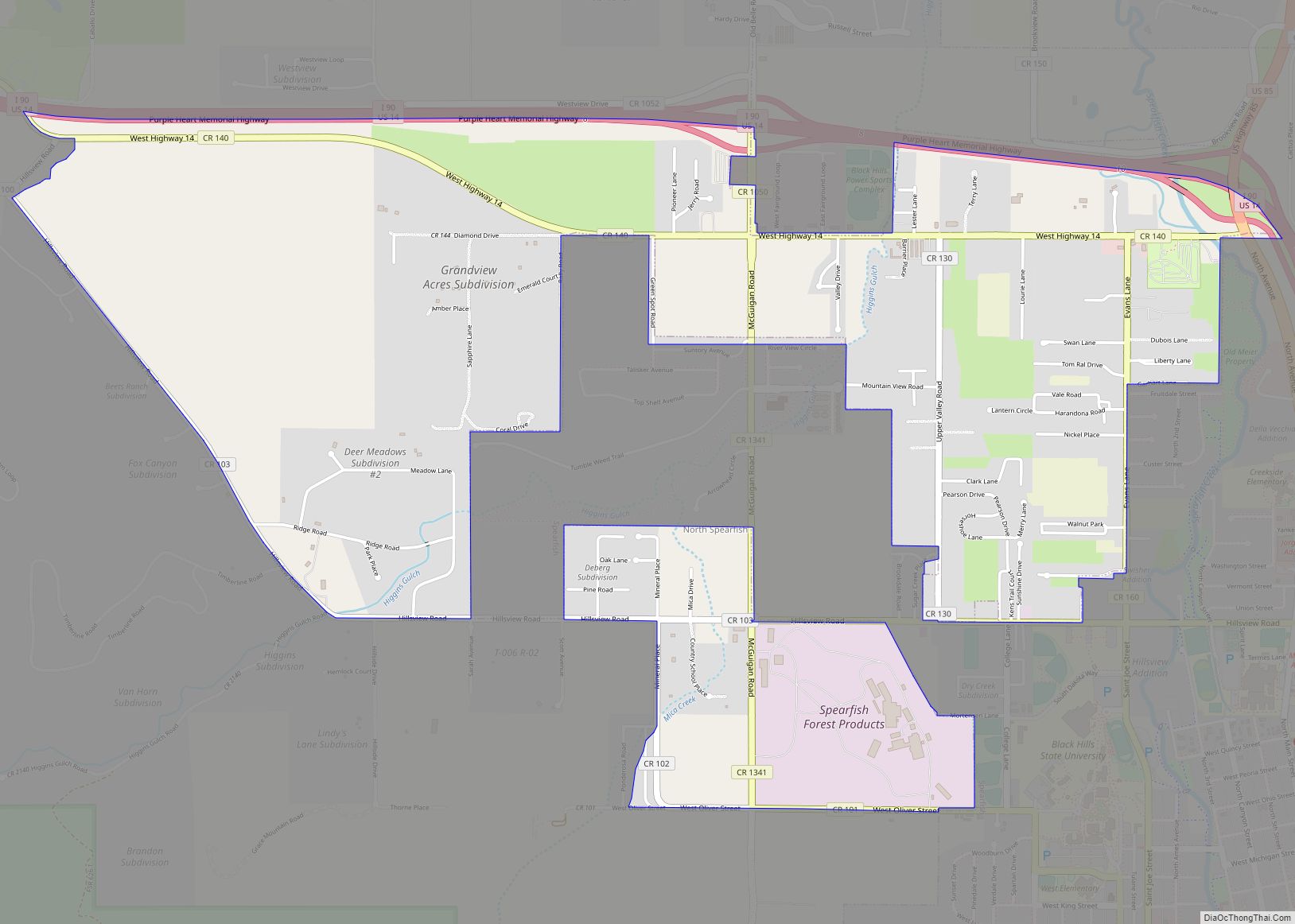
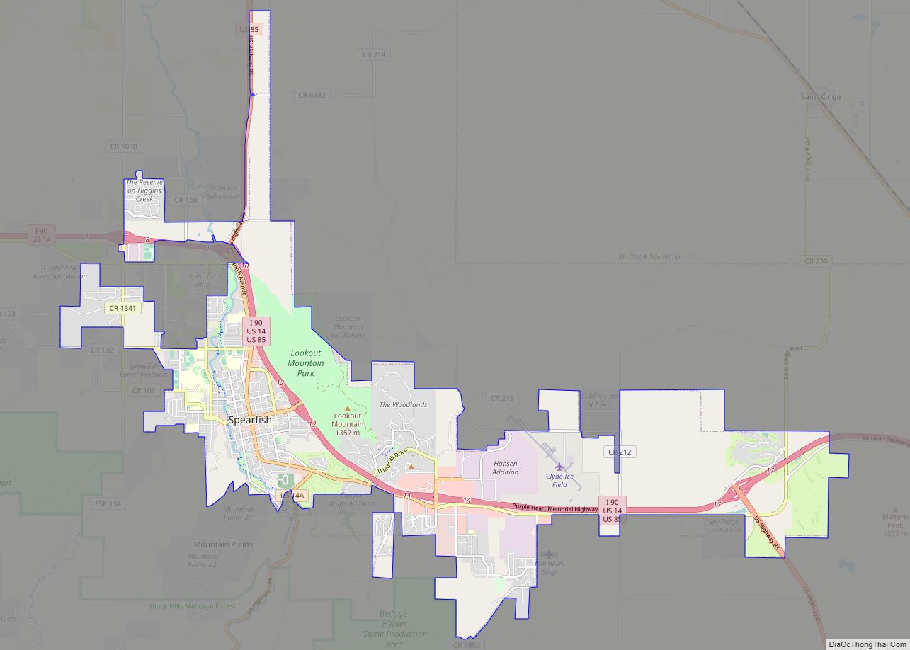
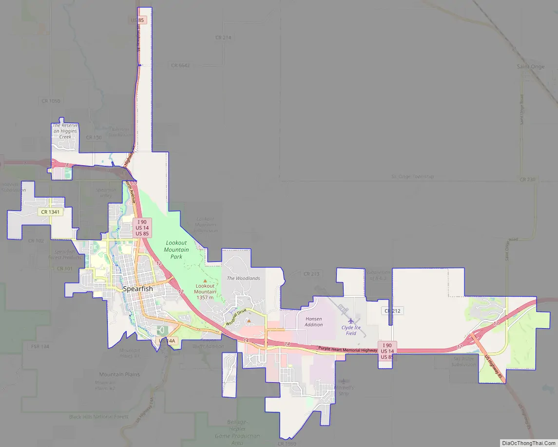
Spearfish Road Map
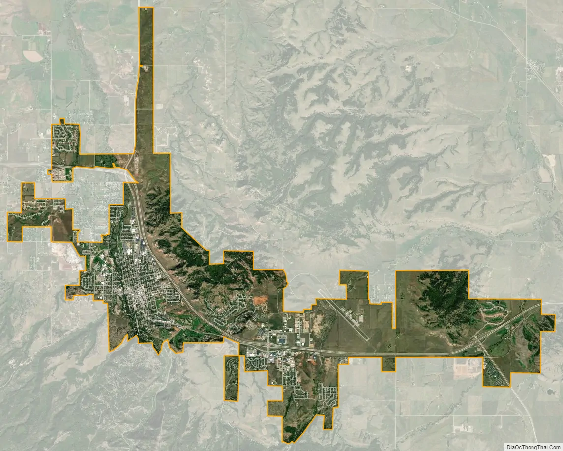
Spearfish city Satellite Map
Geography
Spearfish is located at 44°29′23″N 103°51′9″W / 44.48972°N 103.85250°W / 44.48972; -103.85250 (44.489803, −103.852585).
According to the United States Census Bureau, the city has a total area of 16.35 square miles (42.35 km), of which, 16.34 square miles (42.32 km) is land and 0.01 square miles (0.03 km) is water.
Spearfish Creek is a fast-moving creek that emerges from Spearfish Canyon at Spearfish. It runs roughly south to north through the center of town (parallel to Canyon Street), year round. The creek freezes from the bottom up instead of icing over. This unusual phenomenon occurs due to the very fast rate at which the creek flows. This speed prevents ice from forming except along the bottom of the creek bed where friction and turbulence allow the water to slow down long enough to freeze. Since the creek continues to flow atop this ice, the water level of the creek gradually rises as more ice accumulates on the bottom, in some cases causing flooding on the north side of town where the channel is not as deep.
Spearfish has been assigned the ZIP code 57783 and the FIPS place code 60020. Black Hills State University has its own ZIP code, 57799.
See also
Map of South Dakota State and its subdivision:- Aurora
- Beadle
- Bennett
- Bon Homme
- Brookings
- Brown
- Brule
- Buffalo
- Butte
- Campbell
- Charles Mix
- Clark
- Clay
- Codington
- Corson
- Custer
- Davison
- Day
- Deuel
- Dewey
- Douglas
- Edmunds
- Fall River
- Faulk
- Grant
- Gregory
- Haakon
- Hamlin
- Hand
- Hanson
- Harding
- Hughes
- Hutchinson
- Hyde
- Jackson
- Jerauld
- Jones
- Kingsbury
- Lake
- Lawrence
- Lincoln
- Lyman
- Marshall
- McCook
- McPherson
- Meade
- Mellette
- Miner
- Minnehaha
- Moody
- Pennington
- Perkins
- Potter
- Roberts
- Sanborn
- Shannon
- Spink
- Stanley
- Sully
- Todd
- Tripp
- Turner
- Union
- Walworth
- Yankton
- Ziebach
- Alabama
- Alaska
- Arizona
- Arkansas
- California
- Colorado
- Connecticut
- Delaware
- District of Columbia
- Florida
- Georgia
- Hawaii
- Idaho
- Illinois
- Indiana
- Iowa
- Kansas
- Kentucky
- Louisiana
- Maine
- Maryland
- Massachusetts
- Michigan
- Minnesota
- Mississippi
- Missouri
- Montana
- Nebraska
- Nevada
- New Hampshire
- New Jersey
- New Mexico
- New York
- North Carolina
- North Dakota
- Ohio
- Oklahoma
- Oregon
- Pennsylvania
- Rhode Island
- South Carolina
- South Dakota
- Tennessee
- Texas
- Utah
- Vermont
- Virginia
- Washington
- West Virginia
- Wisconsin
- Wyoming