Lead (/ˈliːd/ LEED) is a city in Lawrence County, South Dakota, United States. The population was 2,982 at the 2020 census. Lead is located in western South Dakota, in the Black Hills near the Wyoming state line.
| Name: | Lead city |
|---|---|
| LSAD Code: | 25 |
| LSAD Description: | city (suffix) |
| State: | South Dakota |
| County: | Lawrence County |
| Incorporated: | 1890 |
| Elevation: | 5,214 ft (1,589 m) |
| Total Area: | 2.06 sq mi (5.33 km²) |
| Land Area: | 2.06 sq mi (5.33 km²) |
| Water Area: | 0.00 sq mi (0.00 km²) |
| Total Population: | 2,982 |
| Population Density: | 1,448.98/sq mi (559.35/km²) |
| ZIP code: | 57754 |
| Area code: | 605 |
| FIPS code: | 4636220 |
| GNISfeature ID: | 1265276 |
| Website: | cityoflead.com |
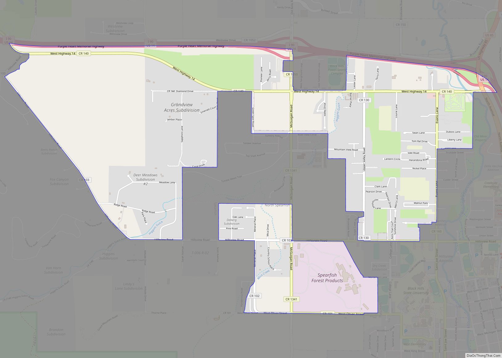
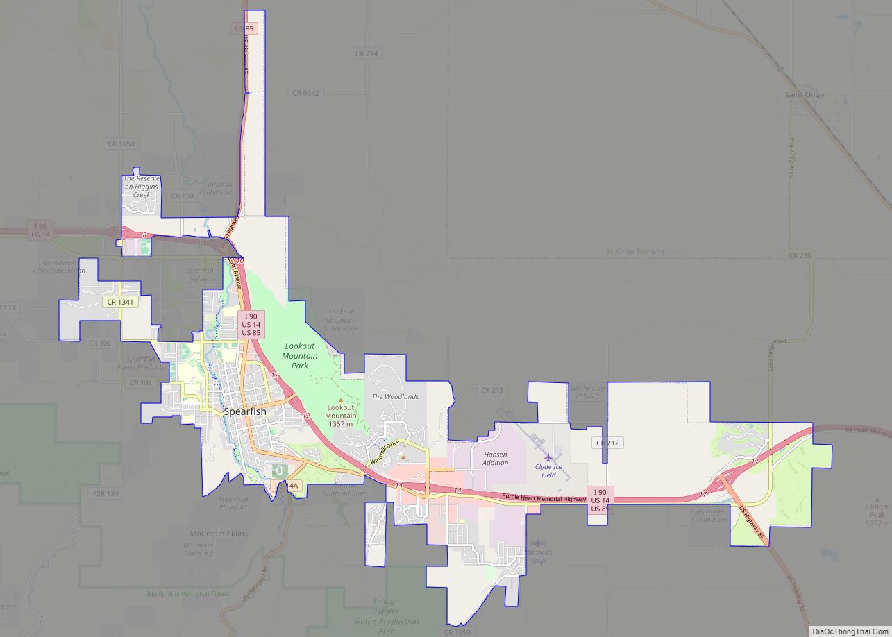
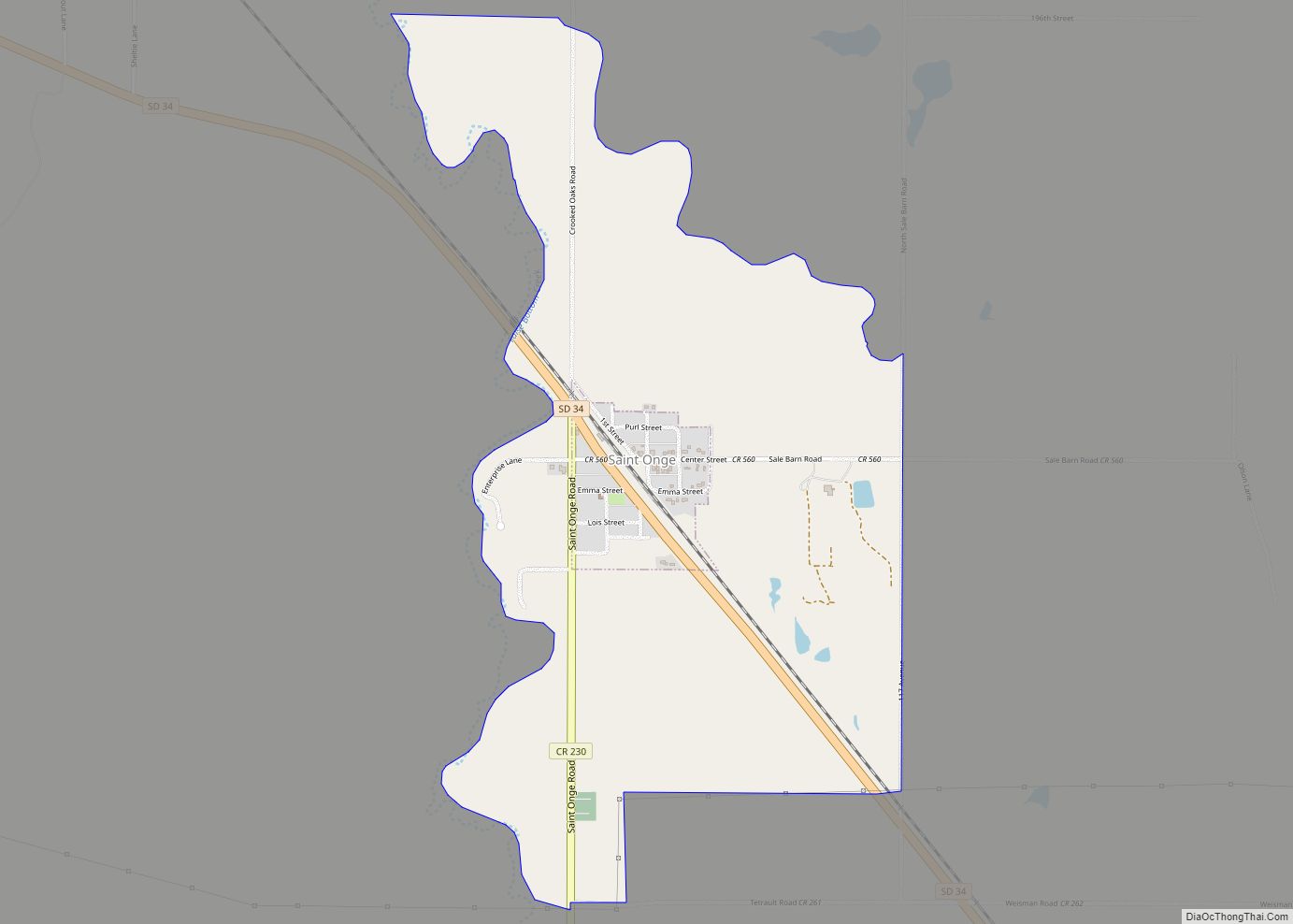
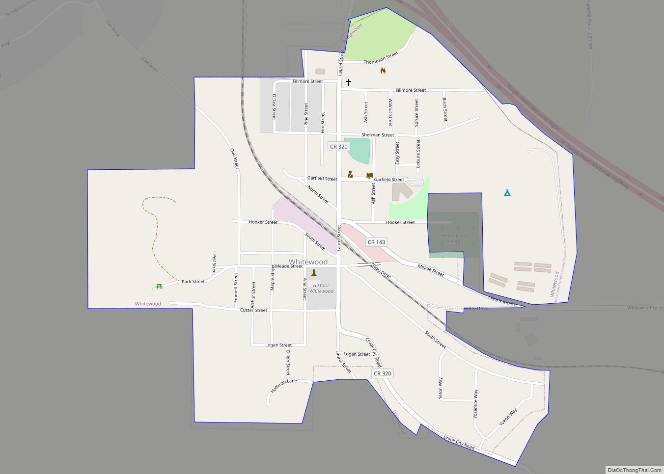
Online Interactive Map
Click on ![]() to view map in "full screen" mode.
to view map in "full screen" mode.
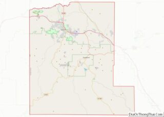
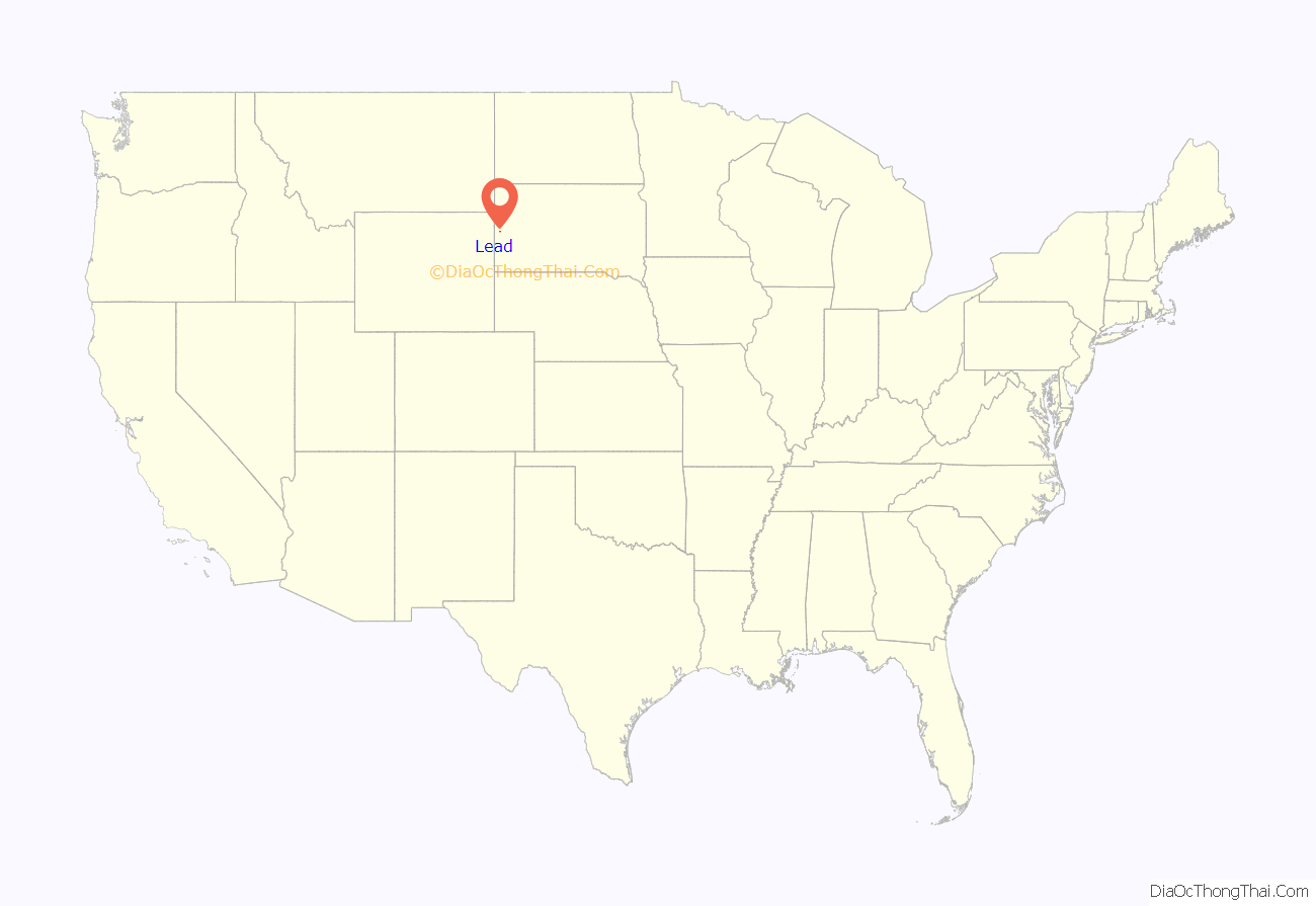
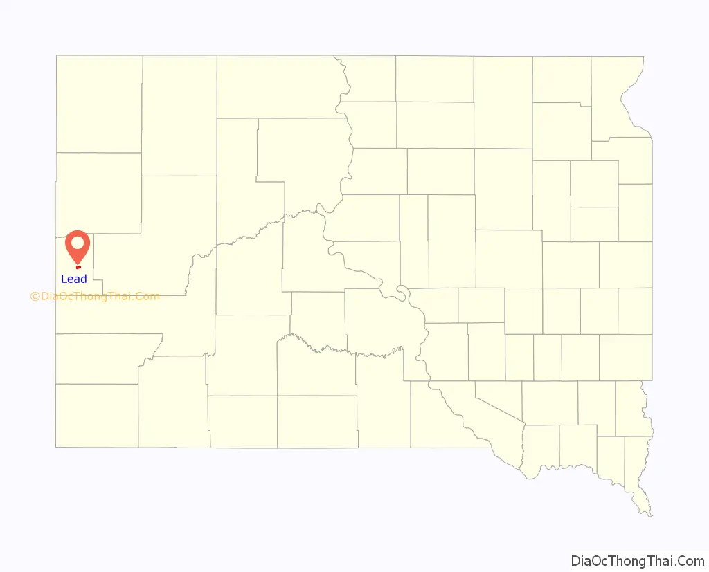
Lead location map. Where is Lead city?
History
The city was officially founded on July 10, 1876, after the discovery of gold. The city was named for the leads or lodes of the deposits of valuable ores. It is the site of the Homestake Mine, the largest, deepest (8,240 feet [2,510 m]) and most productive gold mine in the Western Hemisphere before closing in January 2002. By 1910, Lead had a population of 8,382, making it the second largest town in South Dakota.
Lead was founded as a company town by the Homestake Mining Company, which ran the nearby Homestake Mine. Phoebe Hearst, wife of George Hearst, one of the principals, was instrumental in making Lead more livable. She established the Hearst Free Public Library in town, and in 1900 the Hearst Free Kindergarten. Phoebe Hearst and Thomas Grier, the Homestake Mine superintendent, worked together to create the Homestake Opera House and Recreation Center for the benefit of miner workers and their families. Phoebe Hearst donated regularly to Lead’s churches, and provided college scholarships from Lead–Deadwood school which holds a staff of over 130 to the children of mine and mill workers.
In the early 1930s, due to fear of cave-ins of the miles of tunnels under Lead’s Homestake Mine, many of the town’s buildings located in the bottom of a canyon were moved further uphill to safer locations.
Lead and the Homestake Mine have been selected as the site of the Deep Underground Science and Engineering Laboratory, a proposed NSF facility for low-background experiments on neutrinos, dark matter, and other nuclear physics topics, as well as biology and mine engineering studies.
In 1974, most of Lead was added to the National Register of Historic Places under the name of the “Lead Historic District”. Over four hundred buildings and 580 acres (230 ha) were included in the historic district, which has boundaries roughly equivalent to the city limits.
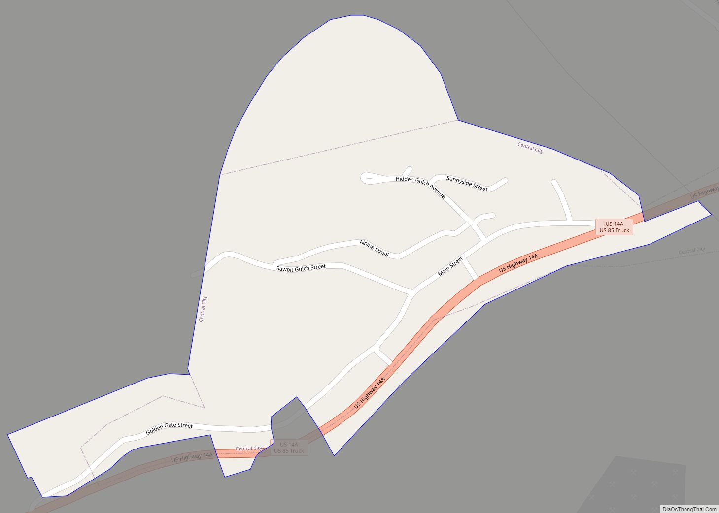
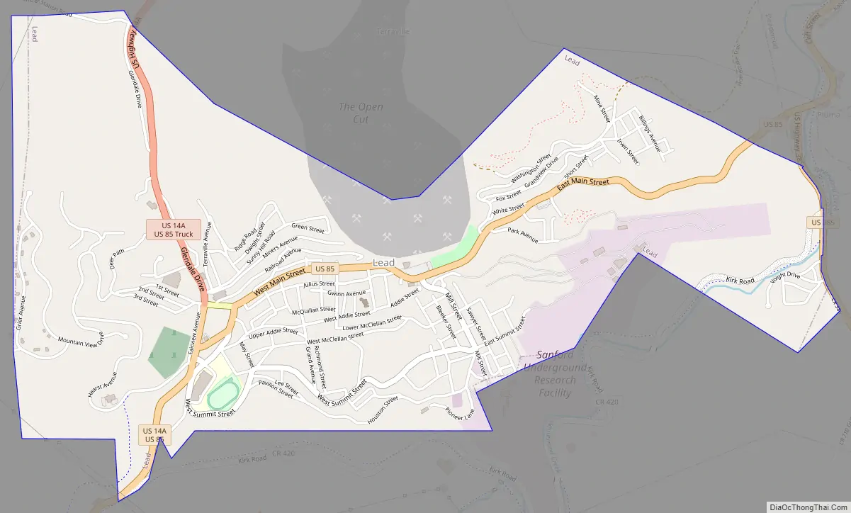
Lead Road Map
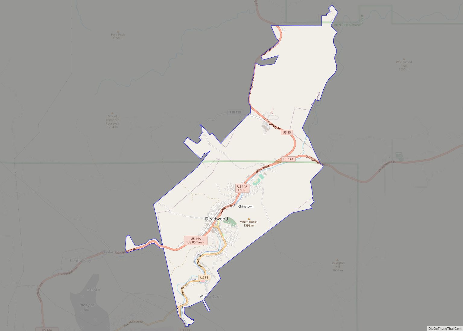
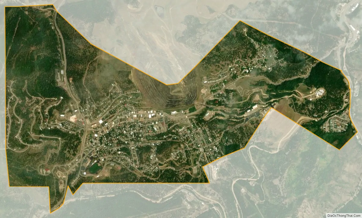
Lead city Satellite Map
Geography
Lead is located at 44°21′3″N 103°45′57″W / 44.35083°N 103.76583°W / 44.35083; -103.76583 (44.350967, -103.765784).
According to the United States Census Bureau, the city has a total area of 2.06 square miles (5.34 km), all land.
Lead has been assigned the ZIP code 57754 and the FIPS place code 36220.
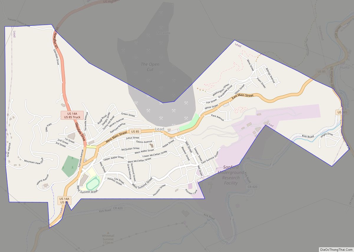
Two prominent manmade features of Lead’s geography are the giant open cut, which was used for surface gold mining by the Homestake Mine, and the resulting ridge nearby built with the non-producing material from the cut.
Climate
Lead has a humid continental climate (Köppen Dfb) with warm summers and cold, very snowy winters with the typical extremely variable temperatures of the western Great Plains.
Its high elevation in the Black Hills makes Lead one of the wettest places in South Dakota and among the snowiest places in the contiguous United States with a mean snowfall of 183.9 inches or 4.67 metres. During the cold and snowy winter of 1993–94, a whopping 364.7 inches (9.26 m) of snow fell and three years later snowfall totalled 324.0 inches (8.23 m). However, frequent chinook winds mean that most of the enormous snowfall melts during the winter: the highest snow cover on record is 73 inches (1.85 m) on March 1, 1998 – during a storm that totalled 114.6 inches or 2.91 metres of snow (water equivalent 4.12 inches or 104.6 millimetres) over six days ending March 2. Mean snow depth in January is only 7 inches or 0.18 metres and the median even less at 5 inches or 0.13 metres. 12.9 mornings can be expected to fall to or below 0 °F (−17.8 °C), with the average window for zero temperatures being December 7 to March 3; on the other hand during winter 12.8 afternoons can be expected to get to or above 50 °F or 10 °C. The coldest temperature has been −40 °F or −40 °C on February 8, 1936.
During the spring, weather becomes very changeable with frequent severe storms: the first maximum of at least 70 °F or 21.1 °C can be expected on April 17, but the last spring freeze normally does not occur until May 24. The spring is also the wettest season owing to the frequent storms, with the wettest month of May 1965 seeing 14.84 inches (376.9 mm) of precipitation. The wettest year – and a South Dakota calendar year record – has been 2013 with 49.52 inches (1,257.8 mm) and the driest 1936 with 12.84 inches (326.1 mm). Summers are very warm in the afternoon, but mornings are pleasantly cool: frost-level temperatures occurred in July 1921 and in the Augusts of 1910 and 1911, with August 1910 seeing a freak snowstorm of 1.5 inches or 0.04 metres. The hottest temperature has been 101 °F (38.3 °C) on July 7, 1936 during a notorious Plains heat wave. Precipitation is lower in summer than in spring, and declines further into the fall and winter as temperatures cool. Fall weather is similarly variable in temperature, as is the spring; however, the fall period tends to be less prone to severe weather.
See also
Map of South Dakota State and its subdivision:- Aurora
- Beadle
- Bennett
- Bon Homme
- Brookings
- Brown
- Brule
- Buffalo
- Butte
- Campbell
- Charles Mix
- Clark
- Clay
- Codington
- Corson
- Custer
- Davison
- Day
- Deuel
- Dewey
- Douglas
- Edmunds
- Fall River
- Faulk
- Grant
- Gregory
- Haakon
- Hamlin
- Hand
- Hanson
- Harding
- Hughes
- Hutchinson
- Hyde
- Jackson
- Jerauld
- Jones
- Kingsbury
- Lake
- Lawrence
- Lincoln
- Lyman
- Marshall
- McCook
- McPherson
- Meade
- Mellette
- Miner
- Minnehaha
- Moody
- Pennington
- Perkins
- Potter
- Roberts
- Sanborn
- Shannon
- Spink
- Stanley
- Sully
- Todd
- Tripp
- Turner
- Union
- Walworth
- Yankton
- Ziebach
- Alabama
- Alaska
- Arizona
- Arkansas
- California
- Colorado
- Connecticut
- Delaware
- District of Columbia
- Florida
- Georgia
- Hawaii
- Idaho
- Illinois
- Indiana
- Iowa
- Kansas
- Kentucky
- Louisiana
- Maine
- Maryland
- Massachusetts
- Michigan
- Minnesota
- Mississippi
- Missouri
- Montana
- Nebraska
- Nevada
- New Hampshire
- New Jersey
- New Mexico
- New York
- North Carolina
- North Dakota
- Ohio
- Oklahoma
- Oregon
- Pennsylvania
- Rhode Island
- South Carolina
- South Dakota
- Tennessee
- Texas
- Utah
- Vermont
- Virginia
- Washington
- West Virginia
- Wisconsin
- Wyoming