Lea County is a county located in the U.S. state of New Mexico. As of the 2010 census, its population was 64,727.
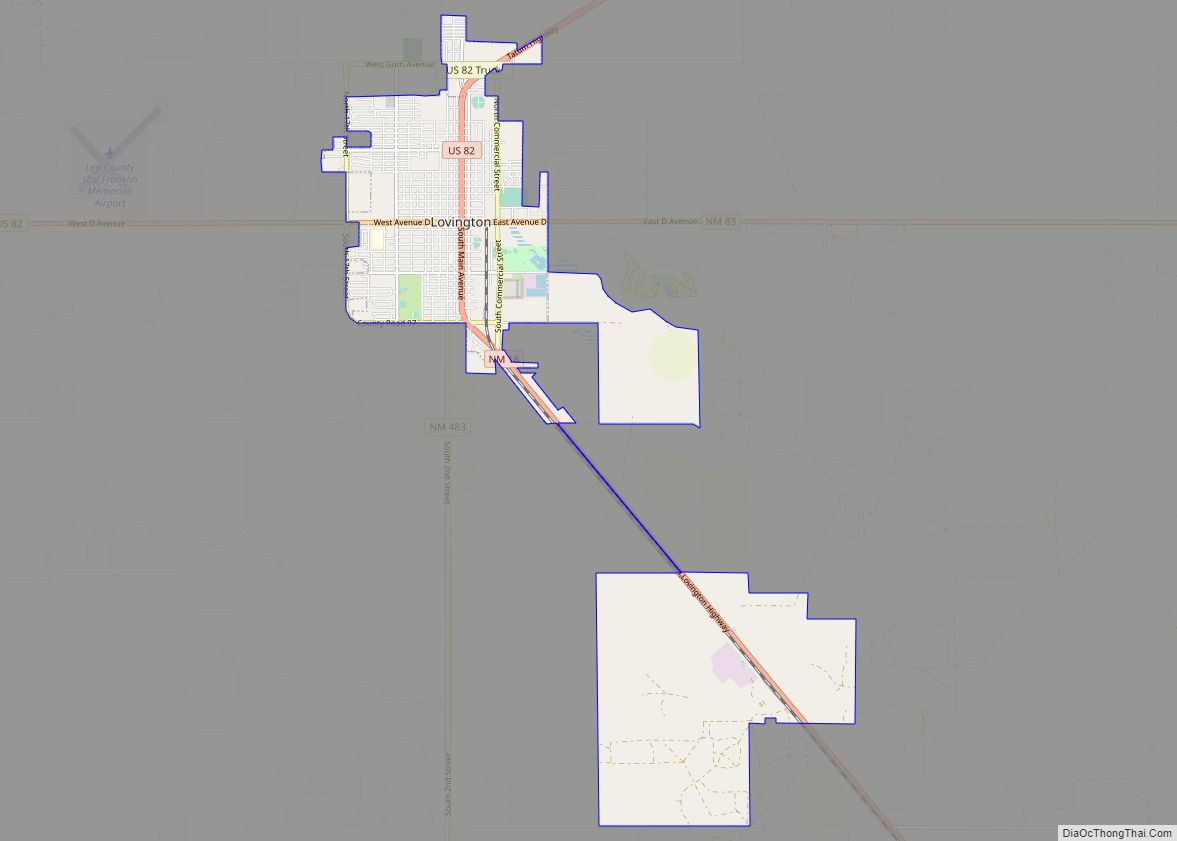
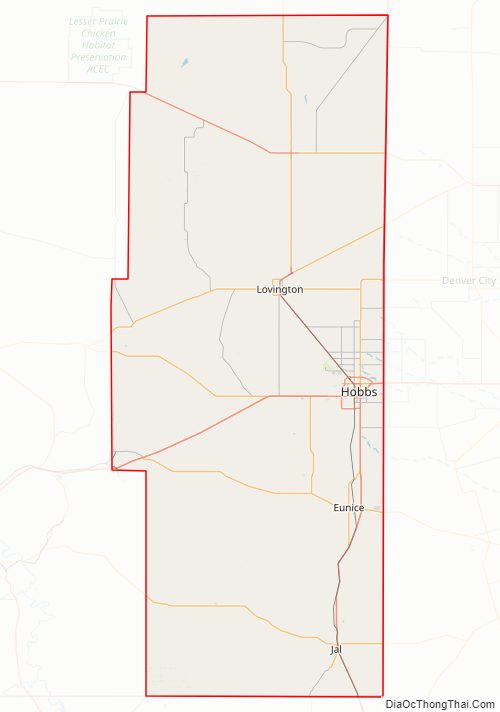
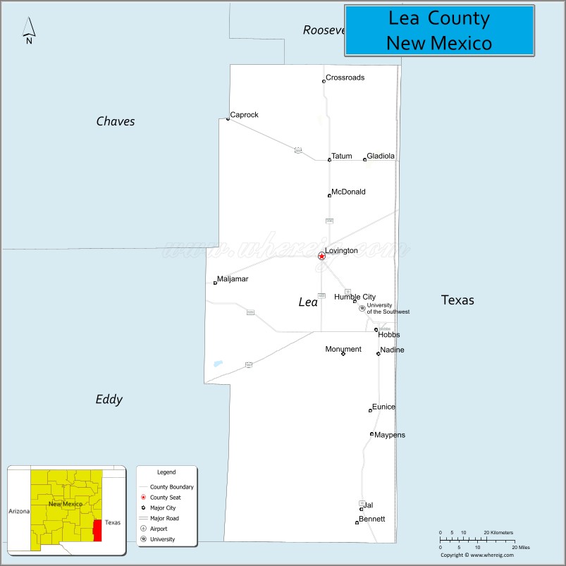
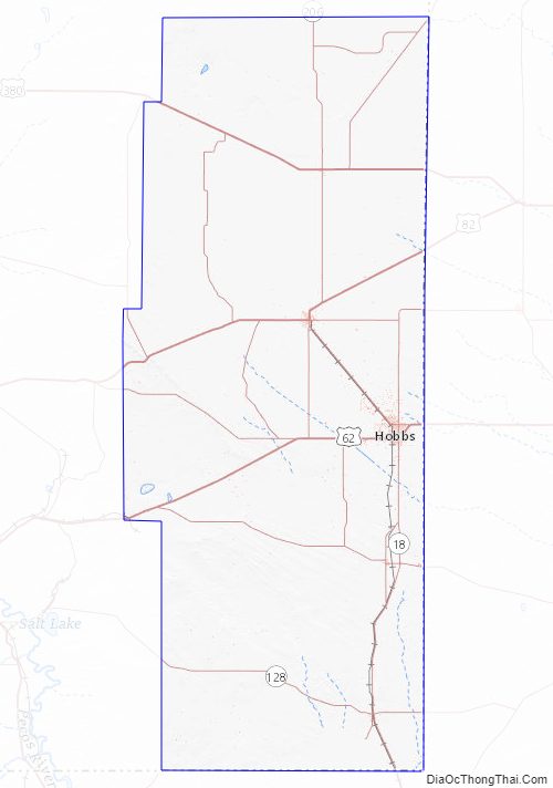
Its county seat is Lovington. It is both west and north of the Texas state line. Lea County comprises the Hobbs, NM micropolitan statistical area.
| Name: | Lea County |
|---|---|
| FIPS code: | 35-025 |
| State: | New Mexico |
| Founded: | March 17, 1917 |
| Seat: | Lovington |
| Largest city: | Hobbs |
| Total Area: | 4,394 sq mi (11,380 km²) |
| Land Area: | 4,391 sq mi (11,370 km²) |
| Total Population: | 73,004 |
| Population Density: | 15/sq mi (6/km²) |
| Time zone: | UTC−7 (Mountain) |
| Summer Time Zone (DST): | UTC−6 (MDT) |
| Website: | www.leacounty.net |
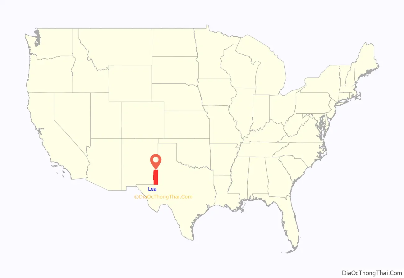
Lea County location map. Where is Lea County?
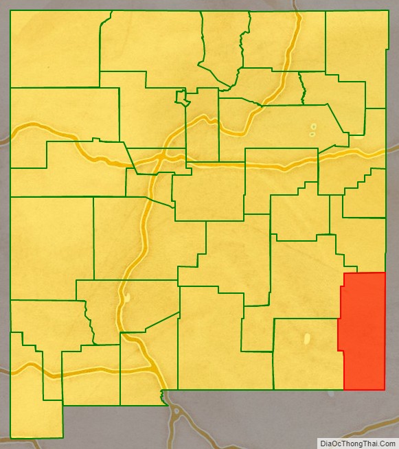
Lea County Road Map
Geography
According to the U.S. Census Bureau, the county has a total area of 4,394 square miles (11,380 km), of which 4,391 sq mi (11,370 km) are land and 3.3 sq mi (8.5 km) (0.07%) are covered by water. Lea County is located in the southeast corner of New Mexico and borders Texas to the south and east.
The Permian Basin, 250 mi (400 km) wide and 350 mi (560 km) long, underlies Lea County and adjacent Eddy County, as well as a large portion of West Texas. It produces 500,000 barrels of crude a day, and this number was expected to double in 2019. The shale in this basin lies 3,000–15,000 ft (910–4,570 m) below the surface, below a salt bed and a groundwater aquifer.
Adjacent counties
- Roosevelt County – north
- Chaves County – northwest
- Eddy County – west
- Loving County, Texas – south
- Winkler County, Texas – southeast
- Andrews County, Texas – east
- Gaines County, Texas – east
- Yoakum County, Texas – east
- Cochran County, Texas – northeast
Lea County Topographic Map
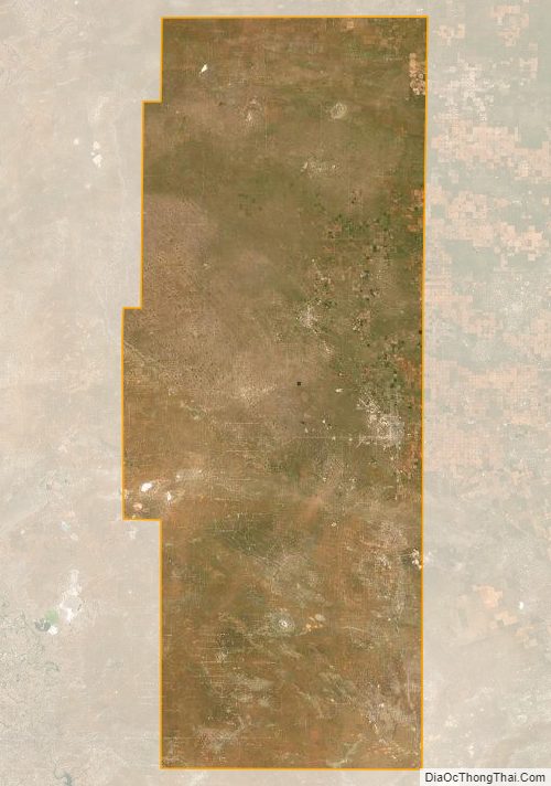
Lea County Satellite Map
Lea County Outline Map