Hobbs is a city in Lea County, New Mexico, United States. Its population was 40,508 at the 2020 census, increasing from 34,122 in 2010.
Hobbs is the principal city of the Hobbs, New Mexico micropolitan statistical area, which includes all of Lea County.
| Name: | Hobbs city |
|---|---|
| LSAD Code: | 25 |
| LSAD Description: | city (suffix) |
| State: | New Mexico |
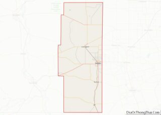
| County: | Lea County |
| Elevation: | 3,642 ft (1,110 m) |
| Total Area: | 26.44 sq mi (68.47 km²) |
| Land Area: | 26.40 sq mi (68.39 km²) |
| Water Area: | 0.03 sq mi (0.09 km²) |
| Total Population: | 40,508 |
| Population Density: | 1,534.16/sq mi (592.35/km²) |
| ZIP code: | 88240-88242 |
| Area code: | 575 |
| FIPS code: | 3532520 |
| GNISfeature ID: | 2410771 |
| Website: | www.hobbsnm.org |
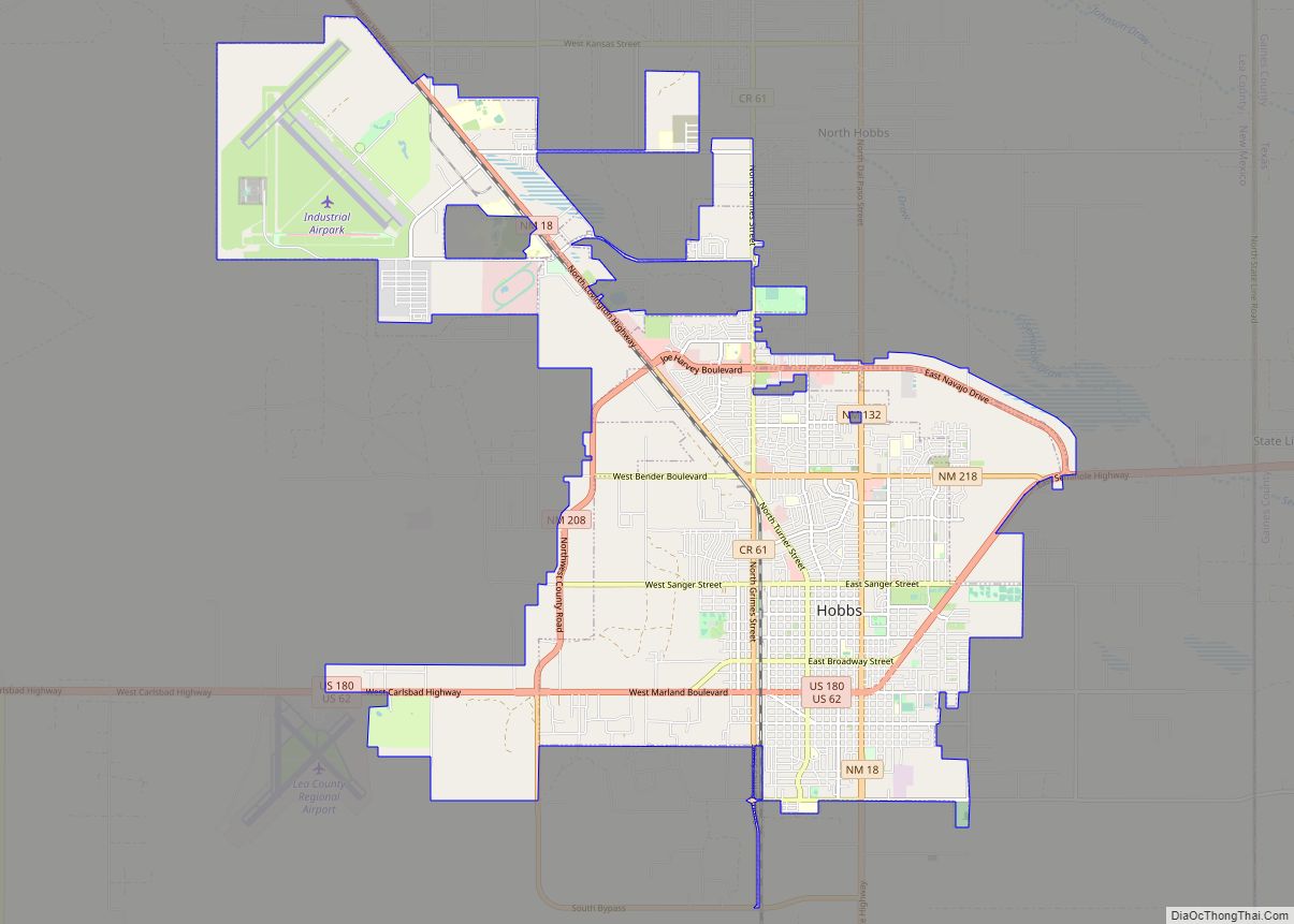
Online Interactive Map
Click on ![]() to view map in "full screen" mode.
to view map in "full screen" mode.
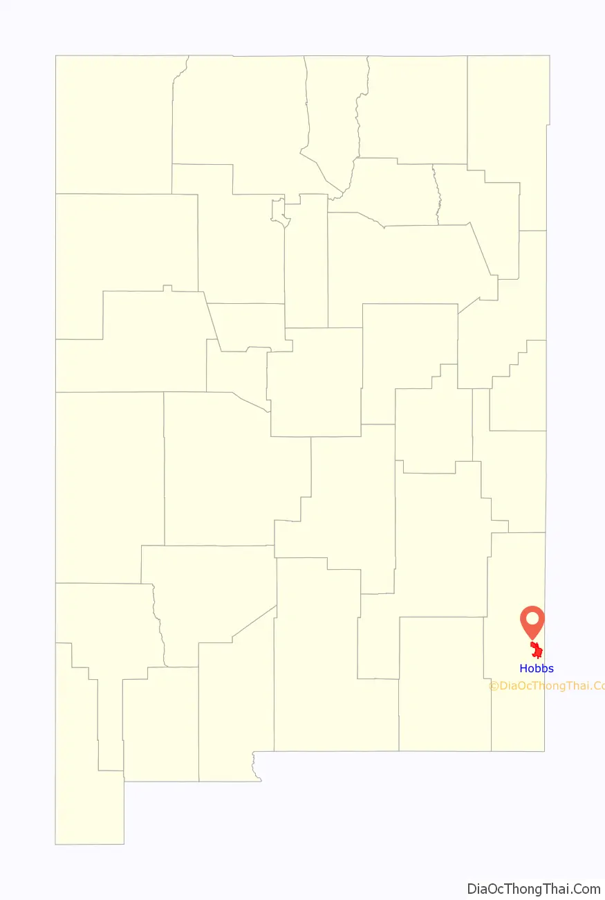
Hobbs location map. Where is Hobbs city?

History
Hobbs was founded in 1907 when James Isaac Hobbs (1852–1923) established a homestead and named the settlement. In 1910, the Hobbs post office opened, with James Hobbs as the first postmaster. By 1911, about 25 landowners lived in Hobbs.
The small, isolated settlement expanded rapidly following the discovery of oil by the Midwest Oil Company in 1927. A refinery was built the following year, and in 1929, the town of Hobbs was officially incorporated. At the peak of this oil boom, over 12,000 people lived in Hobbs. When the Great Depression hit, oil prices dropped and the population fell to only about 3,000 in 1931. A few years later, though, activity picked up in the oilfields and the population climbed to about 14,000 in 1940.
On June 23, 1938, seven local men were killed and five more injured when an explosive charge used in oil drilling detonated prematurely.
Following the outbreak of World War II, Hobbs Army Airfield was built north of town in 1942. In 1948, the city bought the air base and converted it into the Hobbs Industrial Air Park, which is still used for soaring competitions.
The first college in Hobbs opened in 1956. It was initially the First Baptist College, and in 1962, it became the College of the Southwest. The name was changed again to University of the Southwest in 2008. A second college, New Mexico Junior College, opened in 1966.
An ordinance was passed in Hobbs in November 2022 to prevent abortion clinics from operating.
Hobbs Road Map

Hobbs city Satellite Map

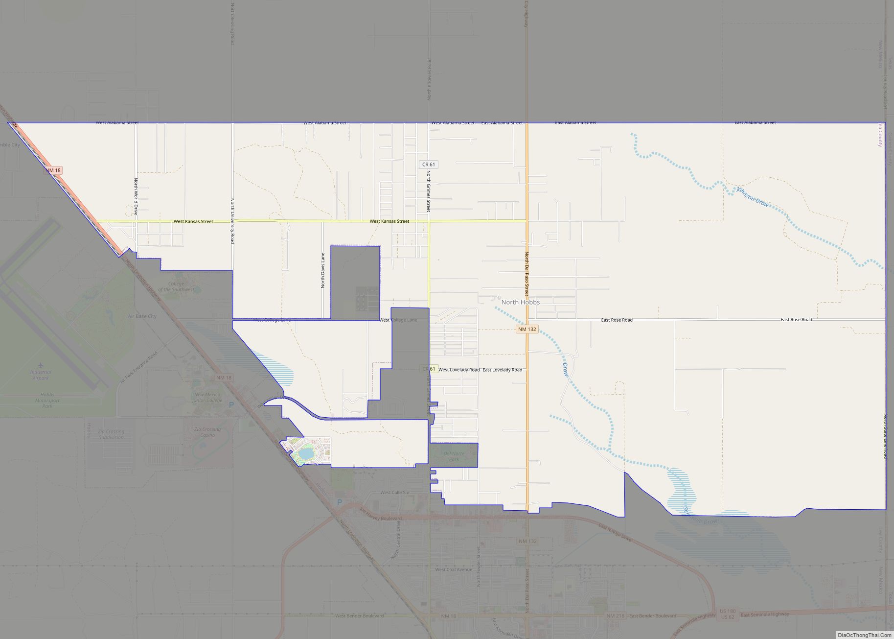
Geography
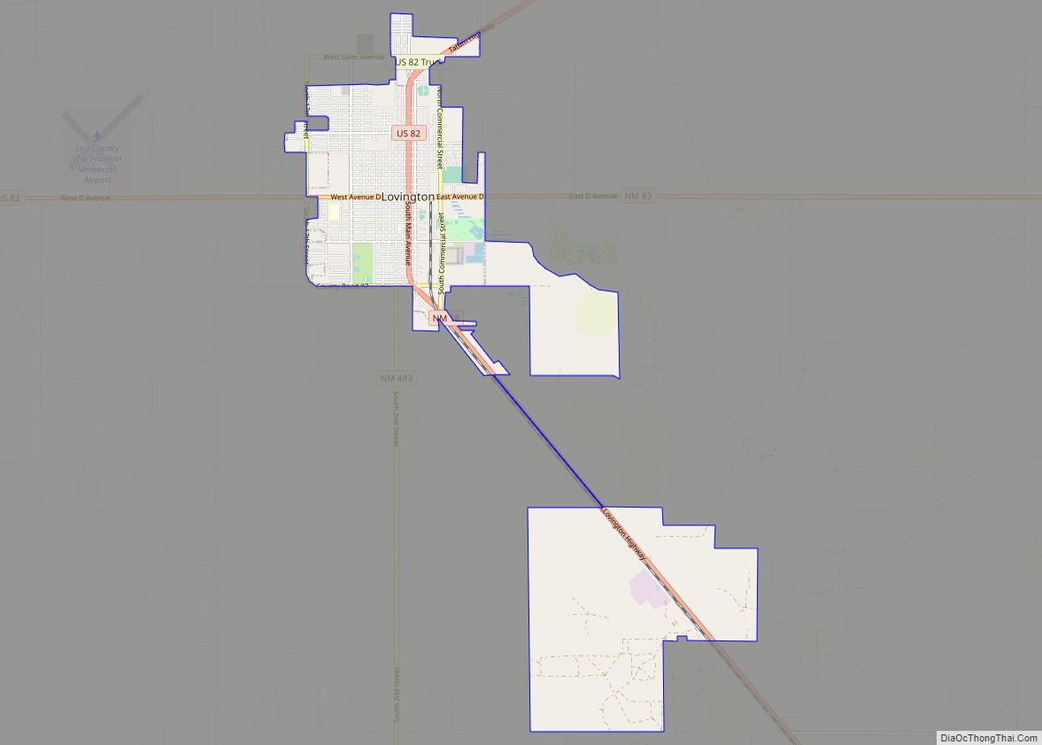
Hobbs is in eastern Lea County, less than 4 mi (6 km) west of the Texas border. U.S. Routes 62/180 pass through the city, leading east 29 mi (47 km) to Seminole, Texas, and west 69 mi (111 km) to Carlsbad. State Road 18 also passes through Hobbs, leading northwest 21 mi (34 km) to Lovington, the Lea county seat, and south 61 mi (98 km) to Kermit, Texas.
According to the United States Census Bureau, the city of Hobbs has a total area of 26.4 square miles (68.5 km), of which 0.04 square miles (0.1 km), or 0.14%, is covered by water. Land in the city drains either east to Seminole Draw or southeast to Monument Draw, both of which are tributaries of Mustang Draw in Texas and ultimately part of the Colorado River watershed.
See also
Map of New Mexico State and its subdivision: Map of other states:- Alabama
- Alaska
- Arizona
- Arkansas
- California
- Colorado
- Connecticut
- Delaware
- District of Columbia
- Florida
- Georgia
- Hawaii
- Idaho
- Illinois
- Indiana
- Iowa
- Kansas
- Kentucky
- Louisiana
- Maine
- Maryland
- Massachusetts
- Michigan
- Minnesota
- Mississippi
- Missouri
- Montana
- Nebraska
- Nevada
- New Hampshire
- New Jersey
- New Mexico
- New York
- North Carolina
- North Dakota
- Ohio
- Oklahoma
- Oregon
- Pennsylvania
- Rhode Island
- South Carolina
- South Dakota
- Tennessee
- Texas
- Utah
- Vermont
- Virginia
- Washington
- West Virginia
- Wisconsin
- Wyoming