| Name: | Bastrop County |
|---|---|
| FIPS code: | 48-021 |
| State: | Texas |
| Founded: | 1837 |
| Named for: | Felipe Enrique Neri, Baron de Bastrop |
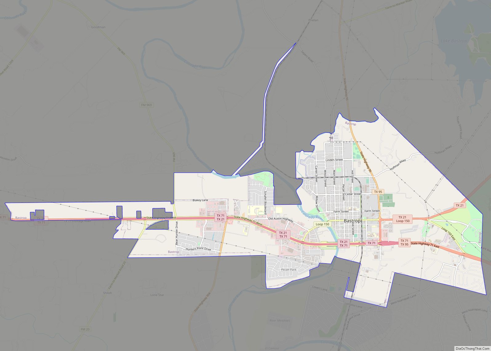
| Seat: | Bastrop |
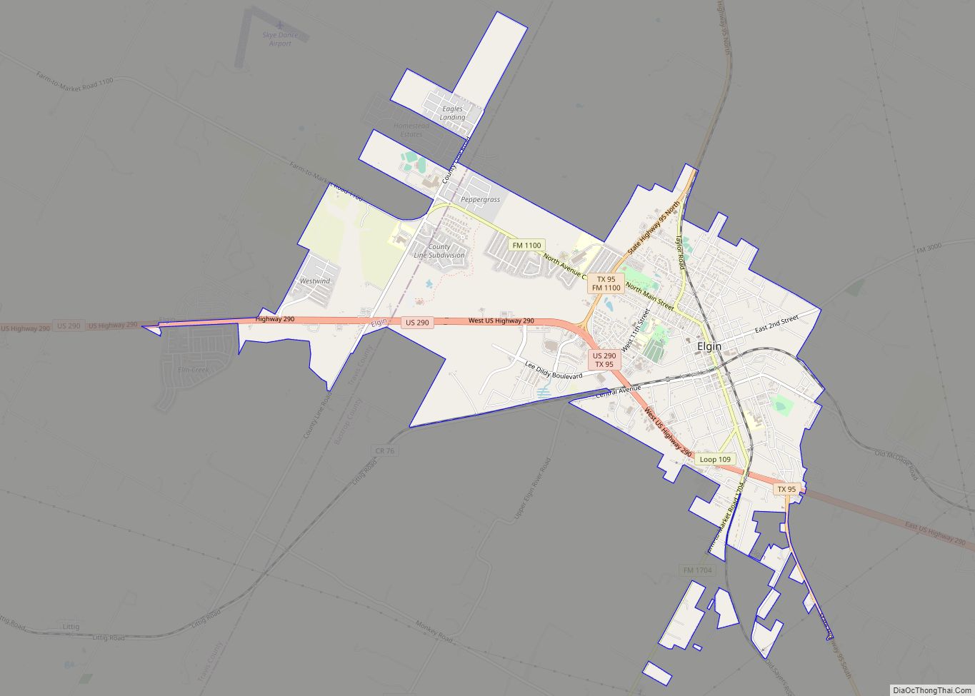
| Largest city: | Elgin |
| Total Area: | 896 sq mi (2,320 km²) |
| Land Area: | 888 sq mi (2,300 km²) |
| Total Population: | 97,216 |
| Population Density: | 110/sq mi (42/km²) |
| Time zone: | UTC−6 (Central) |
| Summer Time Zone (DST): | UTC−5 (CDT) |
| Website: | www.co.bastrop.tx.us |
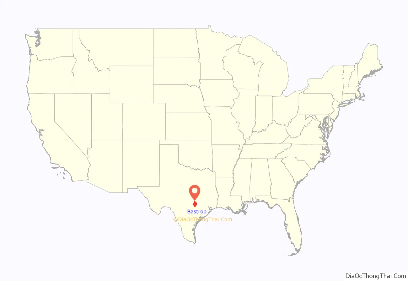
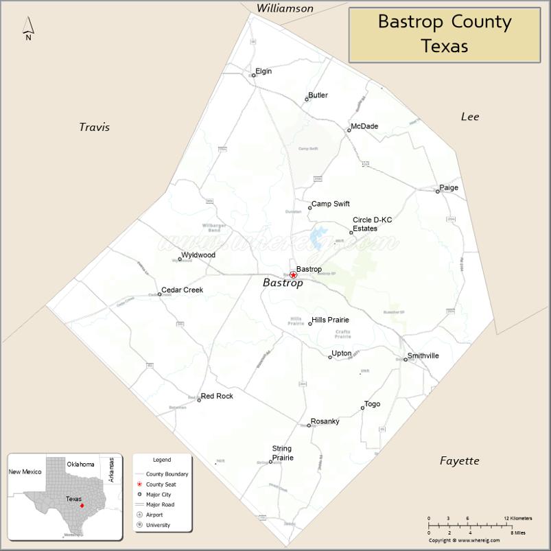
Bastrop County location map. Where is Bastrop County?
History
In 1834, the provincial legislature of Coahuila y Tejas – established by the Mexican Constitution of 1824 – met in Saltillo and established the Municipality and County of Mina consisting of parts of present-day Mason, Kimble, Llano, Burnet, Williamson, Gillespie, Blanco, Comal, Hays, Travis, Caldwell, Bastrop, Lee, Gonzales, Fayette, Washington and Lavaca Counties.
On December 14, 1837, the second Congress of the Republic of Texas adjusted geographical limits to create Fayette County, and remove Gonzales and Caldwell Counties from Mina’s boundaries. On December 18, 1837, Sam Houston signed acts that (a) incorporated the town of Mina and (b) changed the name of the county and town of Mina to Bastrop to honor Felipe Enrique Neri, Baron de Bastrop, an early Dutch settler who helped Stephen F. Austin obtain land grants in Texas.
On May 24, 1838, the Republic of Texas added parts of Kimble and Comal Counties to contain parts of present-day Blanco, Burnet, Williamson, Travis, Hays, Comal, Caldwell, Bastrop, Lee, Gonzales, and Fayette counties.
From January 25, 1840, to January 25, 1850, Bastrop county limits shifted nearly to its present dimensions, including small portions of Lee, Williamson, Caldwell, Gonzales and Fayette Counties.
In December 1942, Bastrop was the site of an alleged military murder, in which Sgt. Walter Springs was gunned down by a White military police officer following a dispute. Springs was shot in the back, but the case remains largely unsolved to this day. A memorial scholarship in his honor has been active at his alma mater, Regis University, for most of the period since 1952 and has the backing of former NBA All Star Chauncey Billups.
In September 2011, Bastrop County suffered the most destructive wildfire in Texas history, which destroyed over 1,600 homes.
In March 2022, the Refuge Ranch, a facility in rural Bastrop County for girls who had been victims of sexual trafficking, was ordered closed down after allegations that the girls had been subjected to further exploitation by ranch staffers.
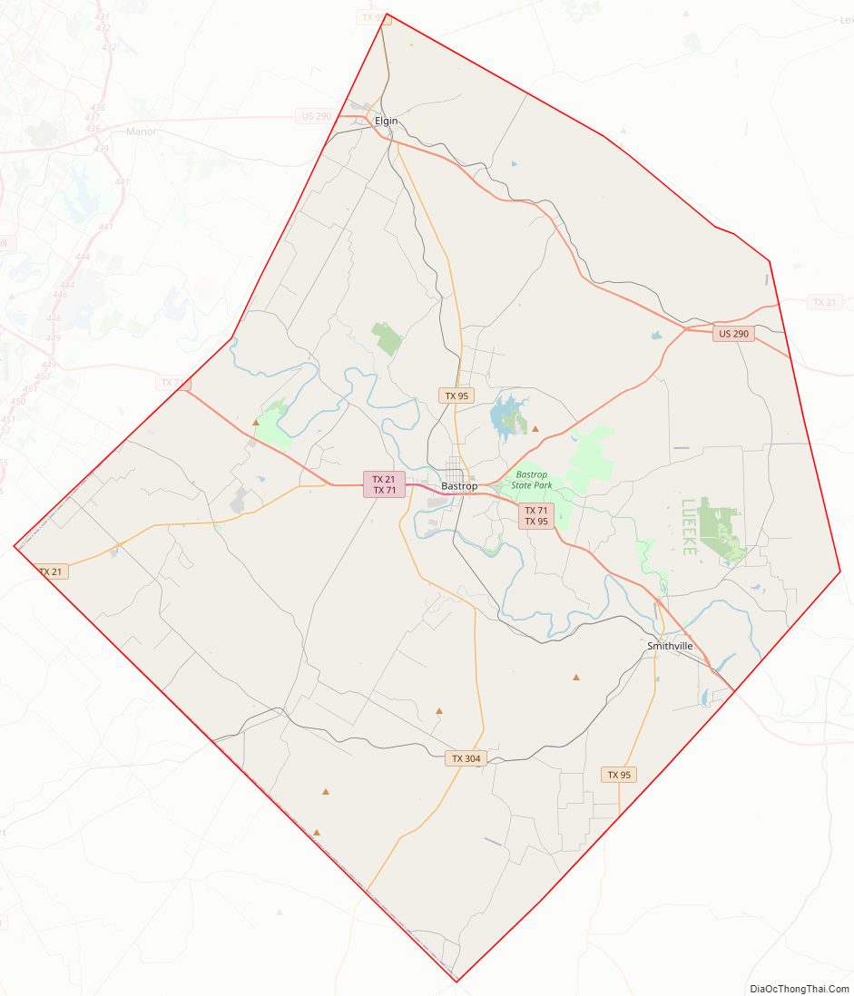
Bastrop County Road Map
Geography
According to the U.S. Census Bureau, the county has a total area of 896 square miles (2,320 km), of which 888 square miles (2,300 km) are land and 7.4 square miles (19 km) (0.8%) are covered by water.
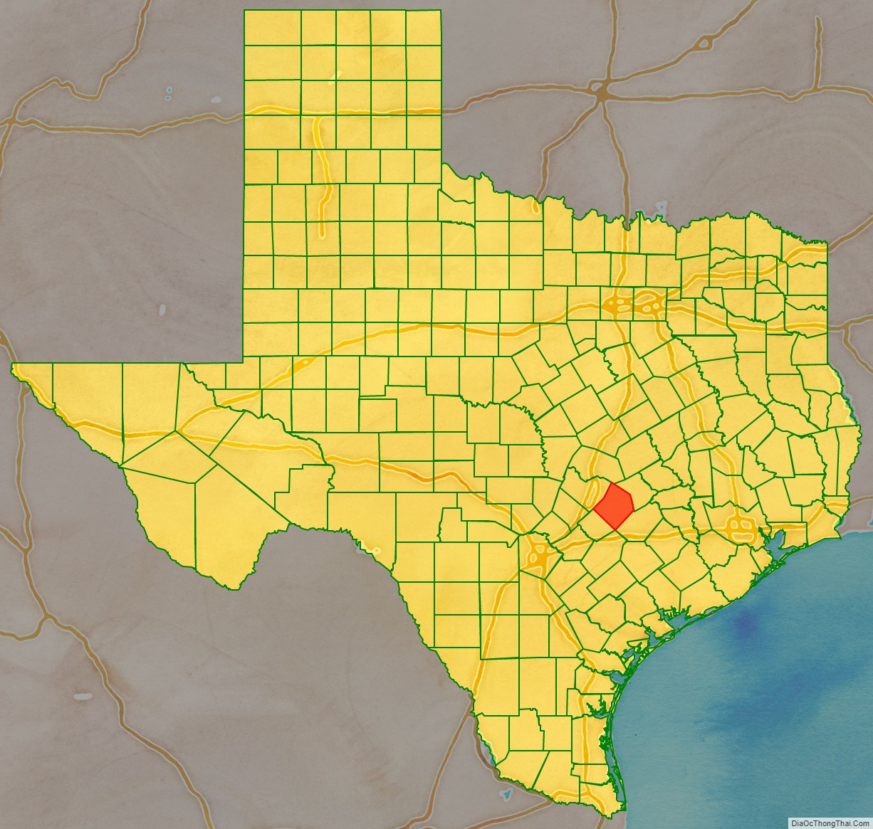
Adjacent counties
- Williamson County (north)
- Lee County (northeast)
- Fayette County (southeast)
- Caldwell County (southwest)
- Travis County (northwest)
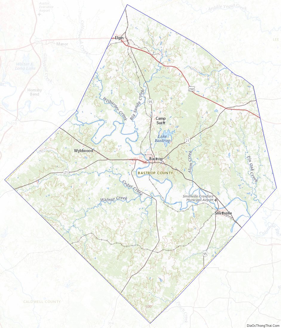
Bastrop County Topographic Map
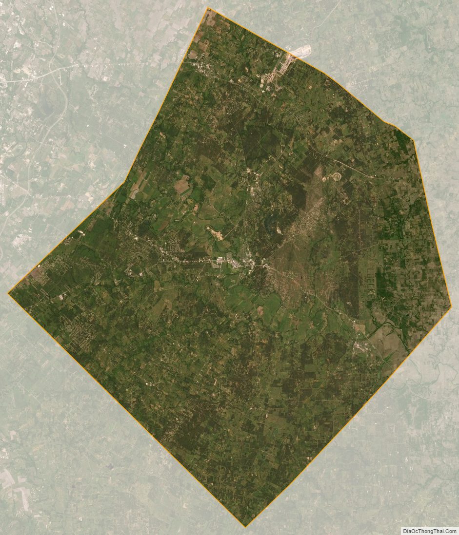
Bastrop County Satellite Map
Bastrop County Outline Map