| Name: | Lincoln County |
|---|---|
| FIPS code: | 29-113 |
| State: | Missouri |
| Founded: | December 14, 1818 |
| Named for: | Benjamin Lincoln |
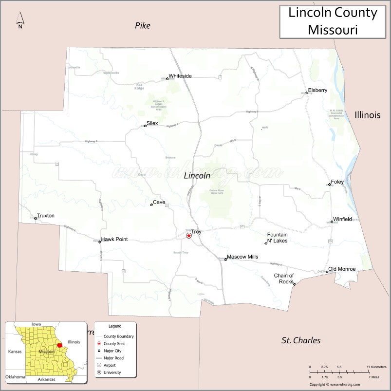
| Seat: | Troy |
| Largest city: | Troy |
| Total Area: | 640 sq mi (1,700 km²) |
| Land Area: | 627 sq mi (1,620 km²) |
| Total Population: | 59,574 |
| Population Density: | 93/sq mi (36/km²) |
| Time zone: | UTC−6 (Central) |
| Summer Time Zone (DST): | UTC−5 (CDT) |
| Website: | www.lcmo.us |
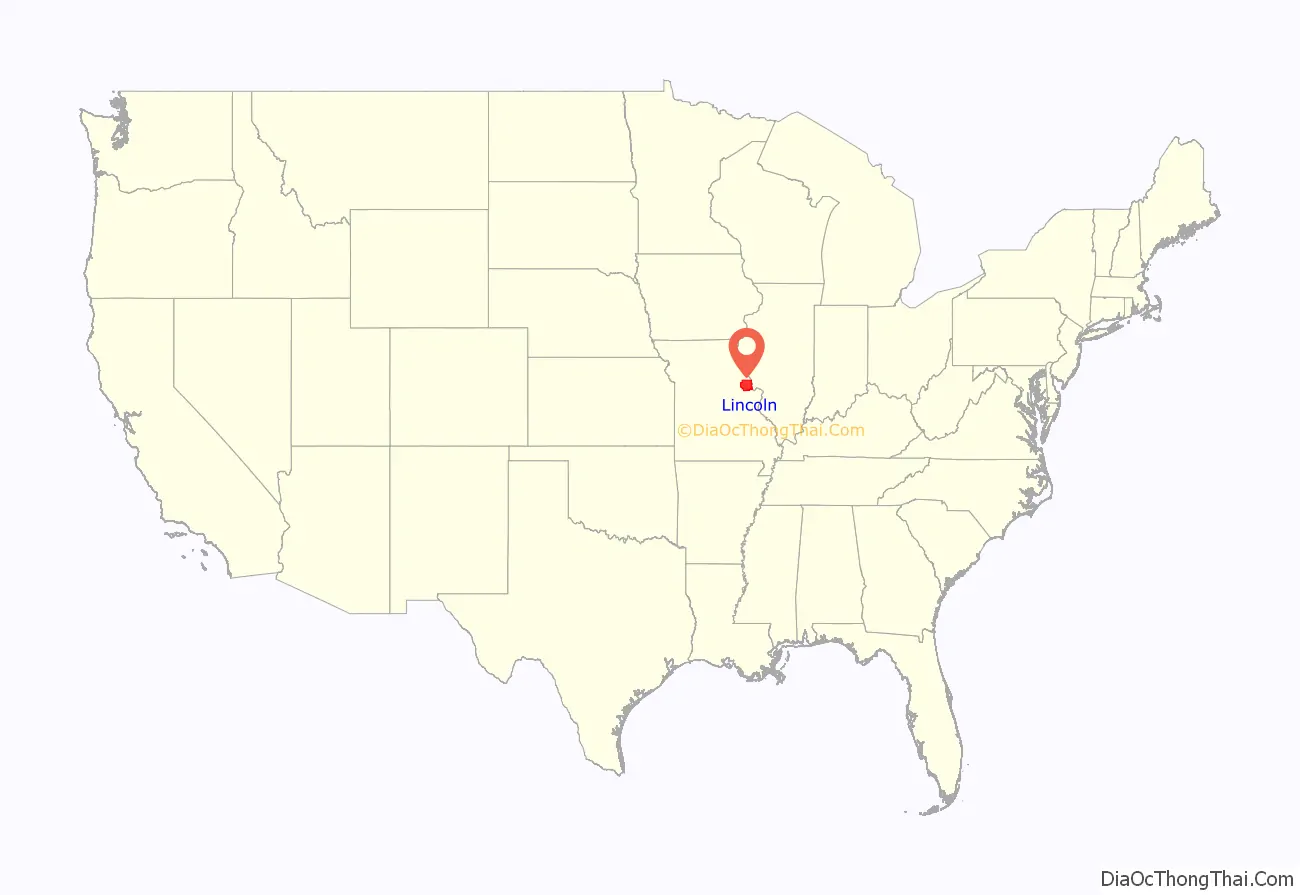
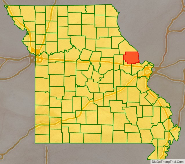
Lincoln County location map. Where is Lincoln County?
History
According to Goodspeed’s History of Lincoln County, Missouri (1888), Lincoln County was named by Major Christopher Clark, the first permanent white settler in an address to the Territorial Legislature. He said, “I was born, sir, in Link-Horn County, N.C., I lived for many years in Link-Horn County in old Kain-tuck. I wish to die in Link-Horn County, in Missouri; and I move, therefore, that the blank in the bill be filled with the name Link-Horn.” The motion was carried unanimously and the clerk, not adopting the frontier parlance of the Major, wrote “Lincoln” in the blank space of the bill. Others say it was named for Major General Benjamin Lincoln, who served in the Continental Army during the American Revolution.
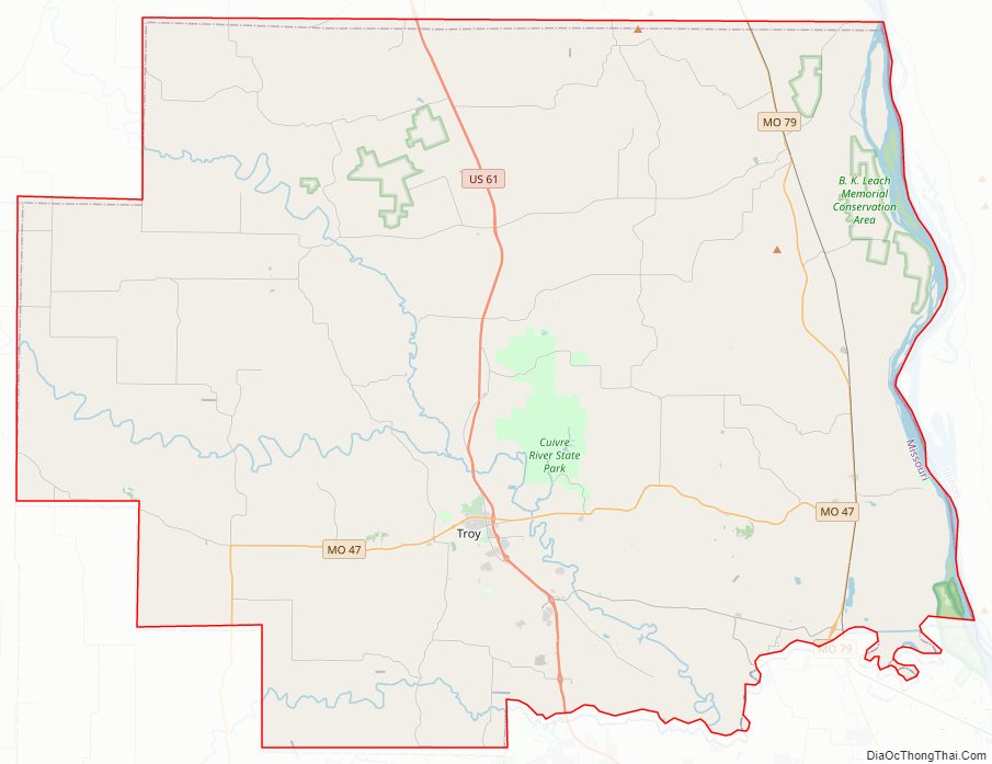
Lincoln County Road Map
Geography
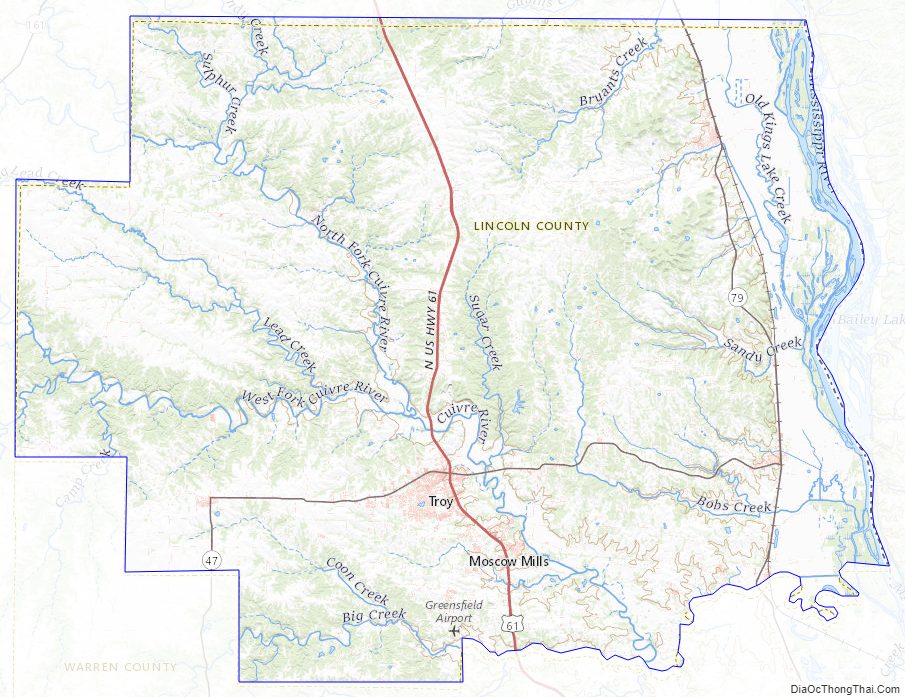
According to the U.S. Census Bureau, the county has a total area of 640 square miles (1,700 km), of which 627 square miles (1,620 km) is land and 14 square miles (36 km) (2.2%) is water. The county’s eastern border with Illinois is formed by the Mississippi River.
Adjacent counties
- Pike County (north)
- Calhoun County, Illinois (east)
- St. Charles County (southeast)
- Warren County (southwest)
- Montgomery County (west)
Major highways
- U.S. Route 61
- Route 47
- Route 79
- Route 147
Lincoln County Topographic Map
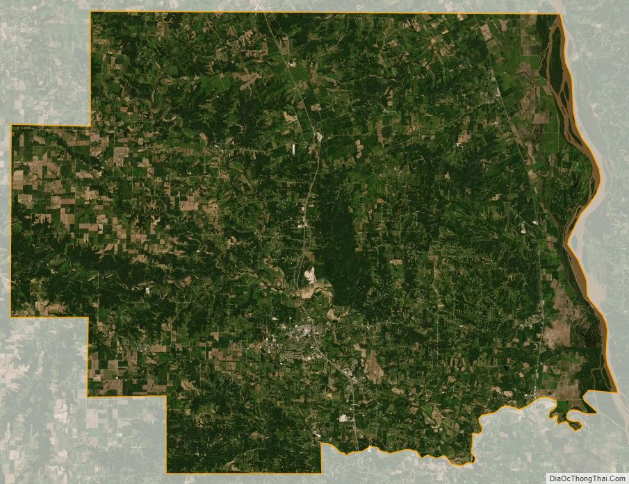
Lincoln County Satellite Map
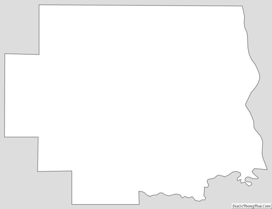
Lincoln County Outline Map