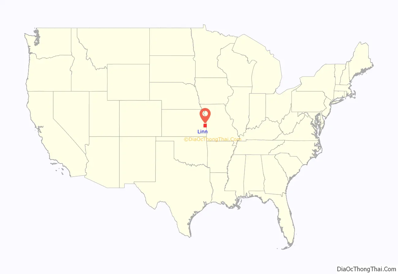
Linn County (county code LN) is a county located in east-central Kansas and is part of the Kansas City metropolitan area. As of the 2020 census, the county population was 9,591. Its county seat is Mound City, and its most populous city is Pleasanton. The county was named for Lewis F. Linn, a U.S. Senator from Missouri.
| Name: | Linn County |
|---|---|
| FIPS code: | 20-107 |
| State: | Kansas |
| Founded: | February 26, 1867 |
| Named for: | Lewis F. Linn |
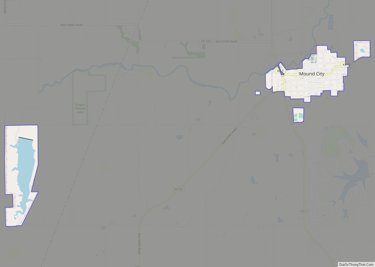
| Seat: | Mound City |
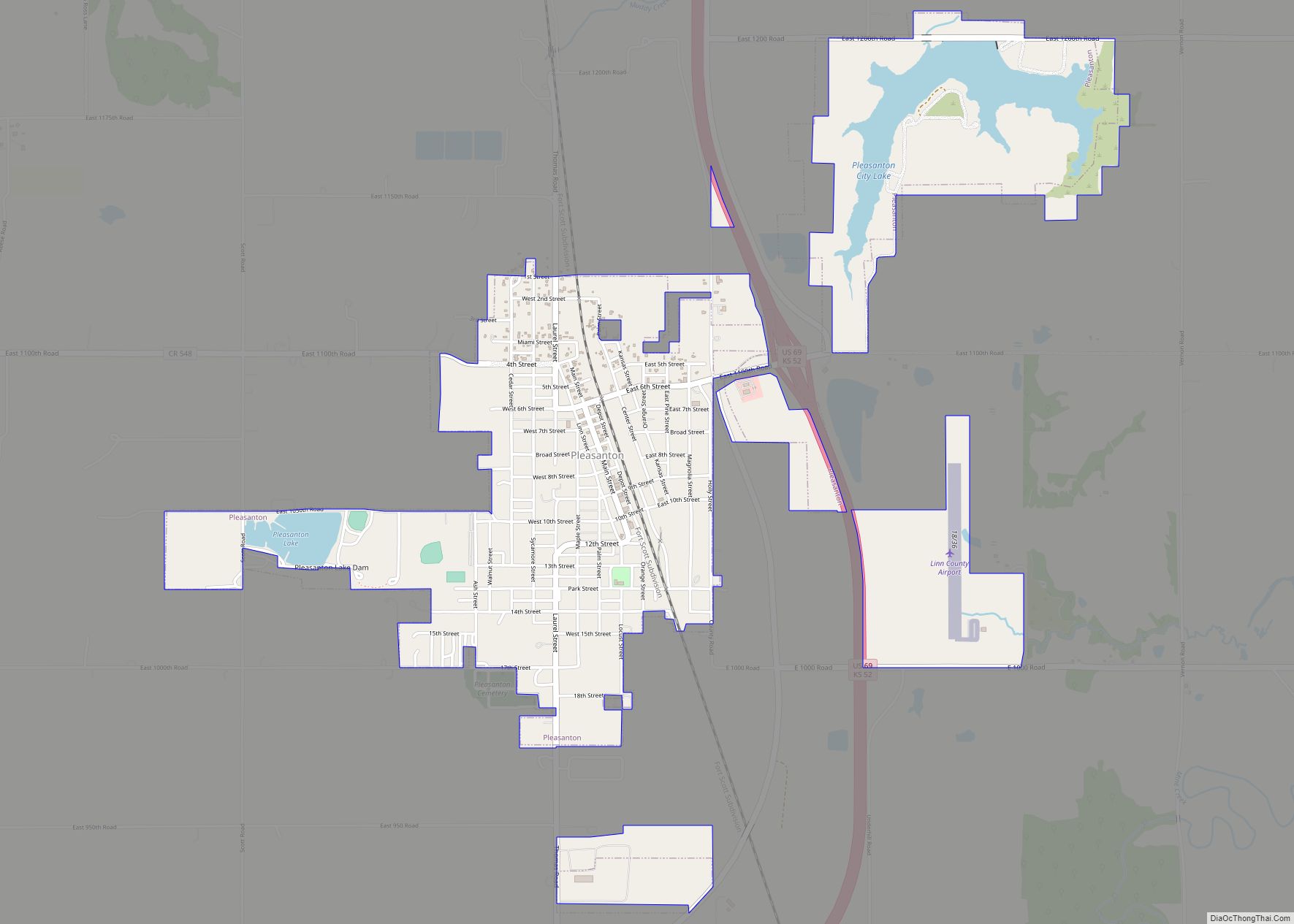
| Largest city: | Pleasanton |
| Total Area: | 606 sq mi (1,570 km²) |
| Land Area: | 594 sq mi (1,540 km²) |
| Total Population: | 9,591 |
| Population Density: | 16.1/sq mi (6.2/km²) |
| Time zone: | UTC−6 (Central) |
| Summer Time Zone (DST): | UTC−5 (CDT) |
| Website: | LinnCountyKS.com |
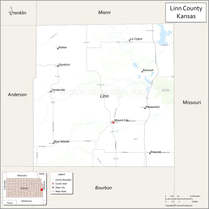
Linn County location map. Where is Linn County?
History
Early history
For many millennia, the Great Plains of North America was inhabited by nomadic Native Americans. From the 16th century to 18th century, the Kingdom of France claimed ownership of large parts of North America. In 1762, after the French and Indian War, France secretly ceded New France to Spain, per the Treaty of Fontainebleau.
19th century
In 1802, Spain returned most of the land to France, but keeping title to about 7,500 square miles. In 1803, most of the land for modern day Kansas was acquired by the United States from France as part of the 828,000 square mile Louisiana Purchase for 2.83 cents per acre.
Explorers in the early 19th century came across abandoned mining sites along a creek south of the Marais des Cygnes river. The background of these early miners remains a mystery; but, it inspired early residents of the region to name this waterway “Mine Creek.”
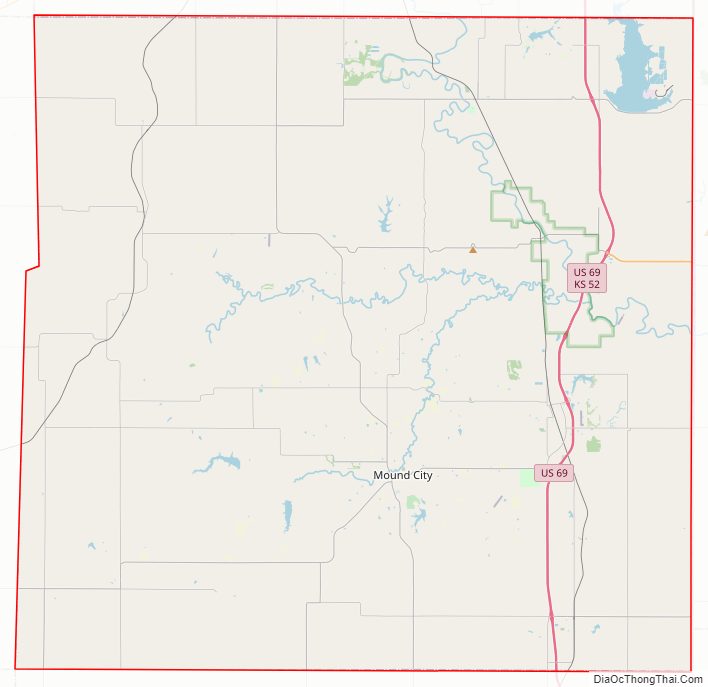
Linn County Road Map
Geography
According to the U.S. Census Bureau, the county has a total area of 606 square miles (1,570 km), of which 594 square miles (1,540 km) is land and 12 square miles (31 km) (2.0%) is water.
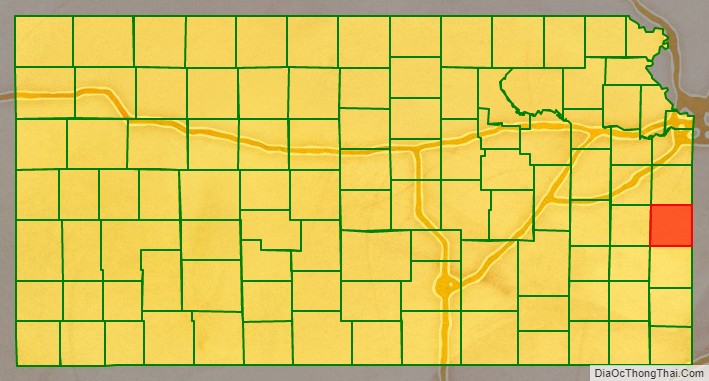
Adjacent counties
- Miami County (north)
- Bates County, Missouri (east)
- Vernon County, Missouri (southeast)
- Bourbon County (south)
- Allen County (southwest)
- Anderson County (west)
- Franklin County (northwest)
National protected area
- Marais des Cygnes National Wildlife Refuge
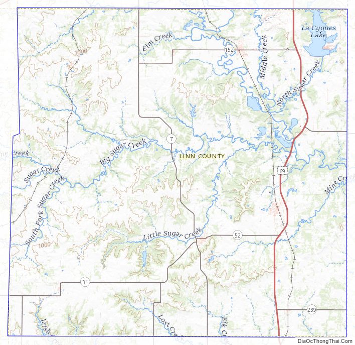
Linn County Topographic Map
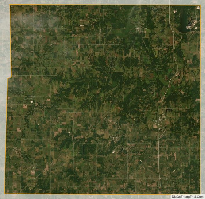
Linn County Satellite Map
Linn County Outline Map