Pleasanton is a city in Linn County, Kansas, United States. As of the 2020 census, the population of the city was 1,208.
| Name: | Pleasanton city |
|---|---|
| LSAD Code: | 25 |
| LSAD Description: | city (suffix) |
| State: | Kansas |
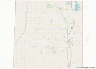
| County: | Linn County |
| Founded: | 1869 |
| Incorporated: | 1878 |
| Elevation: | 856 ft (261 m) |
| Total Area: | 2.34 sq mi (6.05 km²) |
| Land Area: | 2.08 sq mi (5.39 km²) |
| Water Area: | 0.25 sq mi (0.66 km²) |
| Total Population: | 1,208 |
| Population Density: | 520/sq mi (200/km²) |
| ZIP code: | 66075 |
| Area code: | 913 |
| FIPS code: | 2056450 |
| Website: | pleasantonks.com |
Online Interactive Map
Click on ![]() to view map in "full screen" mode.
to view map in "full screen" mode.
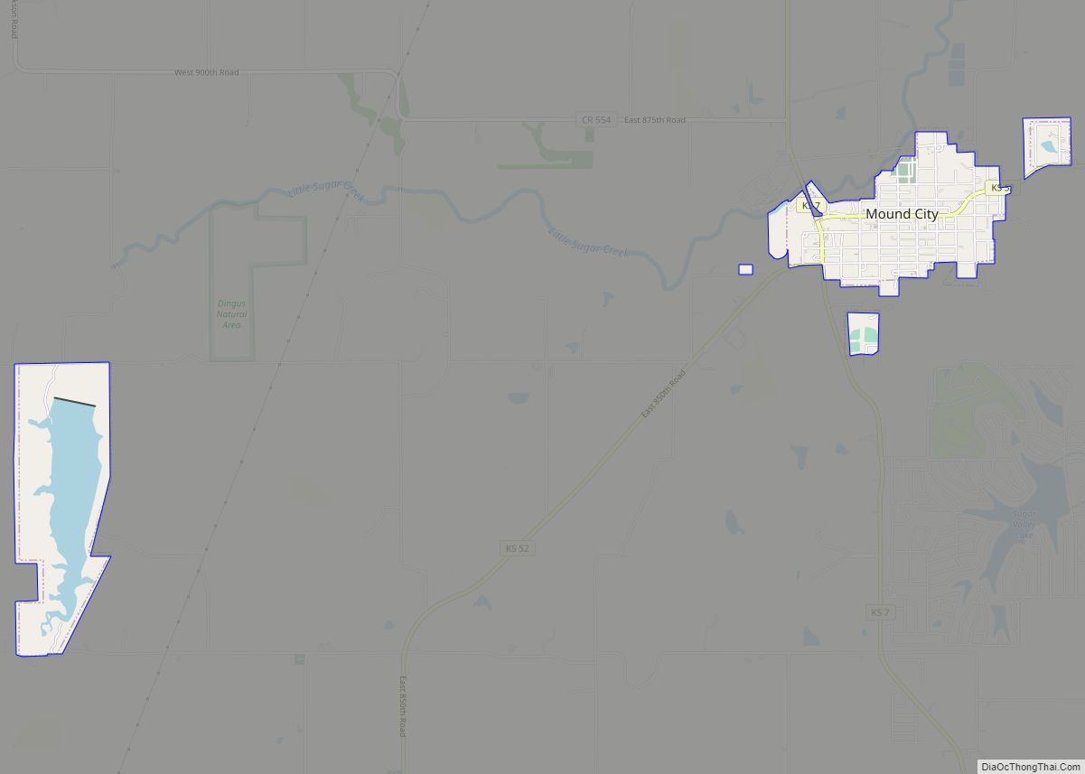
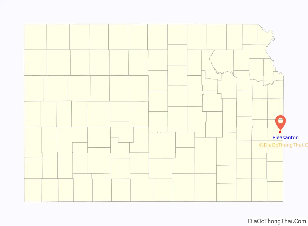
Pleasanton location map. Where is Pleasanton city?

History
In 1864, General Alfred Pleasonton defeated the Confederates in the Battle of Mine Creek near present-day Pleasanton. This battle, involving 25,000 men, resulted in a Union victory which ended the threat of Confederate invasion in Kansas.
Pleasanton had its start in the year 1869 by the building of the Kansas City, Fort Scott & Memphis Railroad through that territory. It was named in honor of General Alfred Pleasonton, though the city name is spelled differently.
The first post office in Pleasanton was established in August 1869.
Pleasanton’s first church, namely the Fairmount Church, was constructed in 1884. On April 27, 2014 the church was destroyed by an EF2 tornado which also severely damaged the town’s cemetery.
Pleasanton Road Map
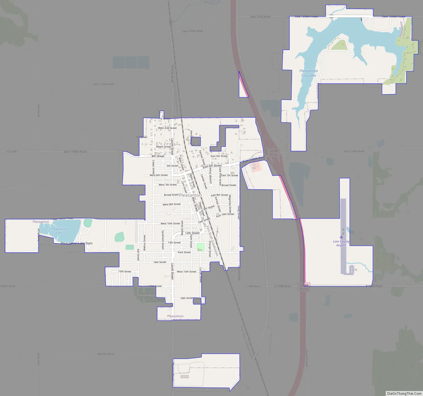
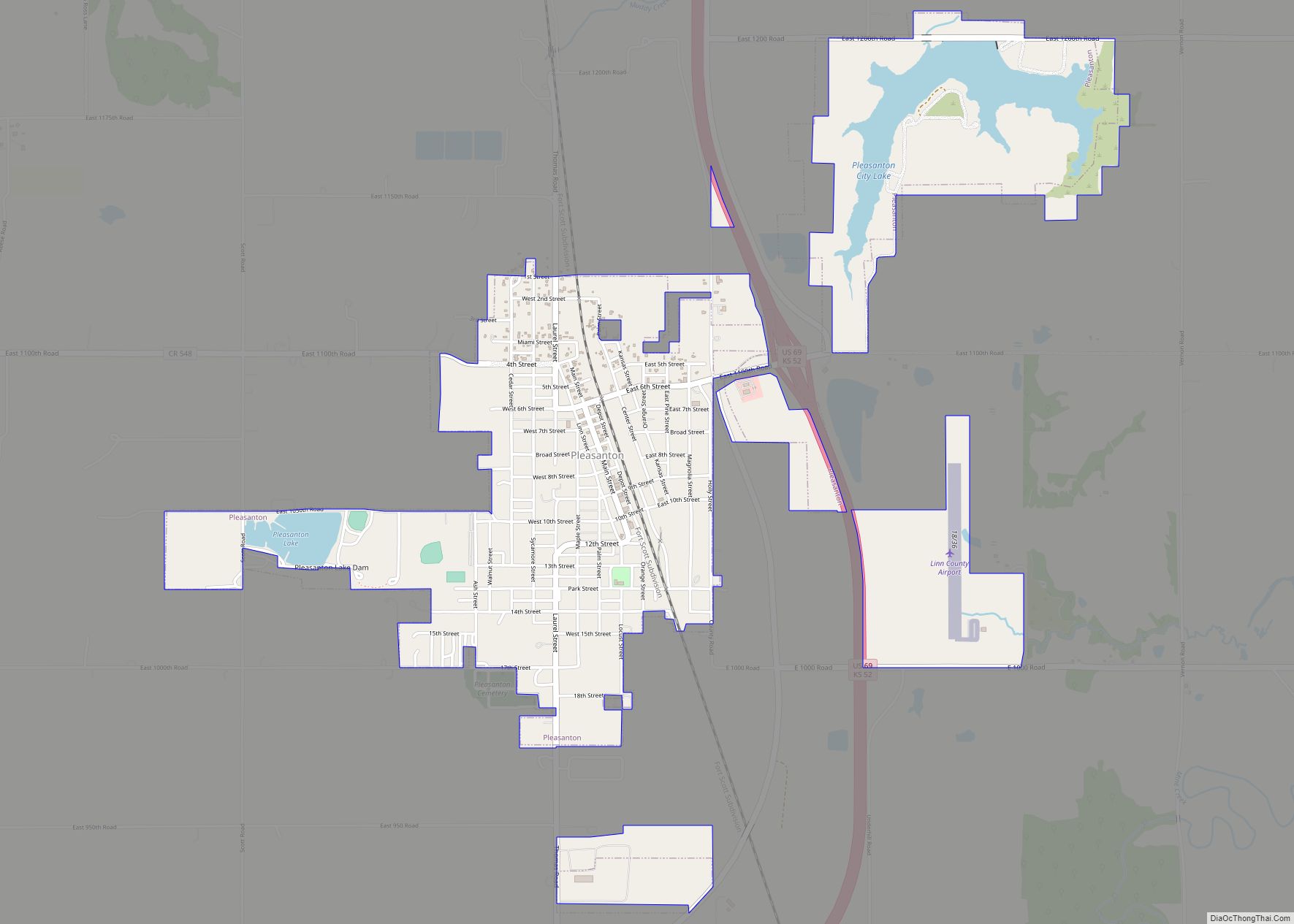
Pleasanton city Satellite Map

Geography
According to the United States Census Bureau, the city has a total area of 2.05 square miles (5.31 km), of which 1.80 square miles (4.66 km) is land and 0.25 square miles (0.65 km) is water.
Pleasanton is approximately 67 miles (108 km) south of Kansas City.
Climate
The climate in this area is characterized by hot, humid summers and generally mild to cool winters. According to the Köppen Climate Classification system, Pleasanton has a humid subtropical climate, abbreviated “Cfa” on climate maps.
See also
Map of Kansas State and its subdivision:- Allen
- Anderson
- Atchison
- Barber
- Barton
- Bourbon
- Brown
- Butler
- Chase
- Chautauqua
- Cherokee
- Cheyenne
- Clark
- Clay
- Cloud
- Coffey
- Comanche
- Cowley
- Crawford
- Decatur
- Dickinson
- Doniphan
- Douglas
- Edwards
- Elk
- Ellis
- Ellsworth
- Finney
- Ford
- Franklin
- Geary
- Gove
- Graham
- Grant
- Gray
- Greeley
- Greenwood
- Hamilton
- Harper
- Harvey
- Haskell
- Hodgeman
- Jackson
- Jefferson
- Jewell
- Johnson
- Kearny
- Kingman
- Kiowa
- Labette
- Lane
- Leavenworth
- Lincoln
- Linn
- Logan
- Lyon
- Marion
- Marshall
- McPherson
- Meade
- Miami
- Mitchell
- Montgomery
- Morris
- Morton
- Nemaha
- Neosho
- Ness
- Norton
- Osage
- Osborne
- Ottawa
- Pawnee
- Phillips
- Pottawatomie
- Pratt
- Rawlins
- Reno
- Republic
- Rice
- Riley
- Rooks
- Rush
- Russell
- Saline
- Scott
- Sedgwick
- Seward
- Shawnee
- Sheridan
- Sherman
- Smith
- Stafford
- Stanton
- Stevens
- Sumner
- Thomas
- Trego
- Wabaunsee
- Wallace
- Washington
- Wichita
- Wilson
- Woodson
- Wyandotte
- Alabama
- Alaska
- Arizona
- Arkansas
- California
- Colorado
- Connecticut
- Delaware
- District of Columbia
- Florida
- Georgia
- Hawaii
- Idaho
- Illinois
- Indiana
- Iowa
- Kansas
- Kentucky
- Louisiana
- Maine
- Maryland
- Massachusetts
- Michigan
- Minnesota
- Mississippi
- Missouri
- Montana
- Nebraska
- Nevada
- New Hampshire
- New Jersey
- New Mexico
- New York
- North Carolina
- North Dakota
- Ohio
- Oklahoma
- Oregon
- Pennsylvania
- Rhode Island
- South Carolina
- South Dakota
- Tennessee
- Texas
- Utah
- Vermont
- Virginia
- Washington
- West Virginia
- Wisconsin
- Wyoming