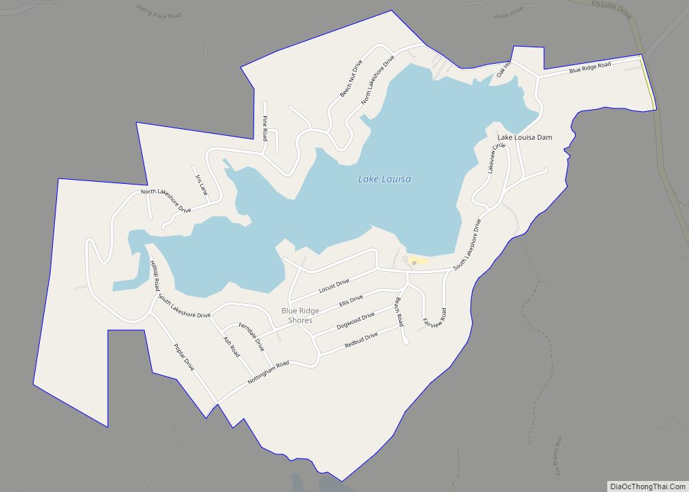
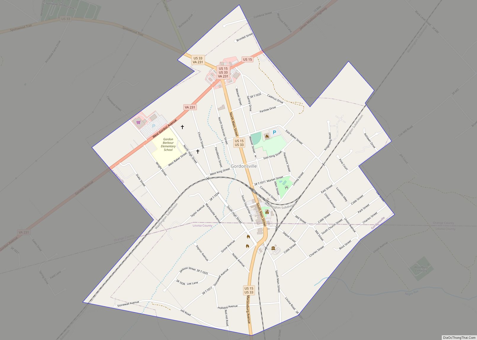
Louisa County is a county located in the Commonwealth of Virginia. As of the 2020 census, the population was 37,596. The county seat is Louisa.
| Name: | Louisa County |
|---|---|
| FIPS code: | 51-109 |
| State: | Virginia |
| Founded: | 1742 |
| Named for: | Louise of Great Britain |
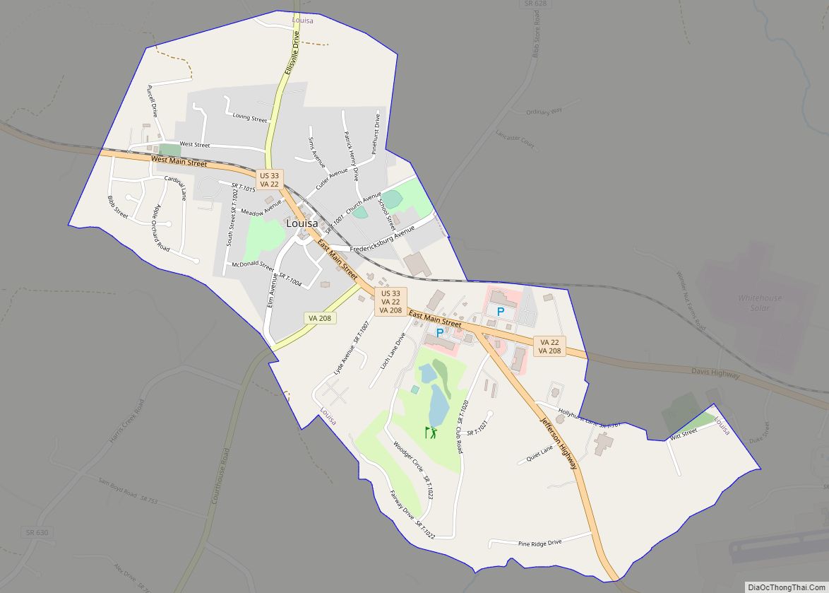
| Seat: | Louisa |
| Largest town: | Louisa |
| Total Area: | 511 sq mi (1,320 km²) |
| Land Area: | 496 sq mi (1,280 km²) |
| Total Population: | 37,596 |
| Population Density: | 74/sq mi (28/km²) |
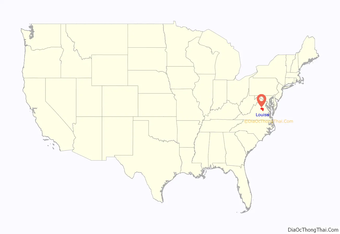
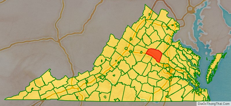
Louisa County location map. Where is Louisa County?
History
Prior to colonial settlement, the area comprising Louisa County was occupied by several indigenous peoples including the Tutelo, the Monacan, and the Manahoac peoples, who eventually fled to join the Cayuga Iroquois (Haudenosaunee) people in New York state under pressure from English settlers.
Louisa County was established in 1742 from Hanover County. The county is named for Princess Louise of Great Britain, youngest daughter of King George II, and wife of King Frederick V of Denmark.
Patrick Henry lived for some time in Louisa County on Roundabout Creek in 1764. Henry was being mentored at that time by the Louisa County magnate Thomas Johnson the representative of Louisa County in the House of Burgesses. In 1765, Patrick Henry won his first election to represent Louisa County in the House of Burgesses. At the end of the eighteenth century and in the early nineteenth century, numerous free mixed-race families migrated together from here to Kentucky, where neighbors began to identify them as Melungeon.
The Virginia Central Railroad was completed through Louisa County in 1838–1840. During the Civil War, it was an important supply line for the Confederate armies. As a result, several significant cavalry actions took place in the county, particularly one fought at Trevilians in 1864.
20th century to present
The Twin Oaks Community is one of the country’s oldest secular communes, established by its first eight members in 1967. This was part of a national movement among numerous young people to “get back to the land” and live in more simple ways based in community. Louisa is also home to the Acorn Community, a rural, cooperative, income sharing community on about 80 acres, founded in 1993 by one of the founding members of Twin Oaks, Kat Kincade. Another newly forming community as of 2011 is the Living Energy Farm, a ‘neo-Amish’ farm, where no fossil fuels will be used but new technologies such as solar will be embraced.
Lake Anna, a 13,000-acre (53 km) artificial lake, and the associated North Anna Nuclear Generating Station were built by Virginia Power in the 1970s. In recent years the predominantly rural county has grown because of retirees’ settling near Lake Anna, and because of its convenient location for commuters. It is an hour’s drive or less from Richmond, Fredericksburg and Charlottesville.
For a discussion and additional information on Louisa County history, see: Louisa County Historical Notes.
2011 earthquake
The U.S. Geological Survey reported that a magnitude 5.8 earthquake hit Virginia on Tuesday, August 23, 2011, at 1:51 PM EST. The quake occurred at an approximate depth of 3.7 miles and was centered in Louisa County (location at 37.944°N, 77.942°W), 5 miles SSW of Mineral and 38 miles NW of Richmond. According to Associated Press, “Shaking was felt at the White House and all over the East Coast, as far south as Charleston, S.C. Parts of the Pentagon, White House and Capitol were evacuated.” It was also felt in parts of Canada.
Damage totals in Louisa County totaled over $70 million:
- $57.5 million in damages to public school structures
- $11.5 million in damages to residential structures
- $400,000 in damages to religious structures
- $400,000 in damages to commercial structures
- $500,000 in damages to government structures
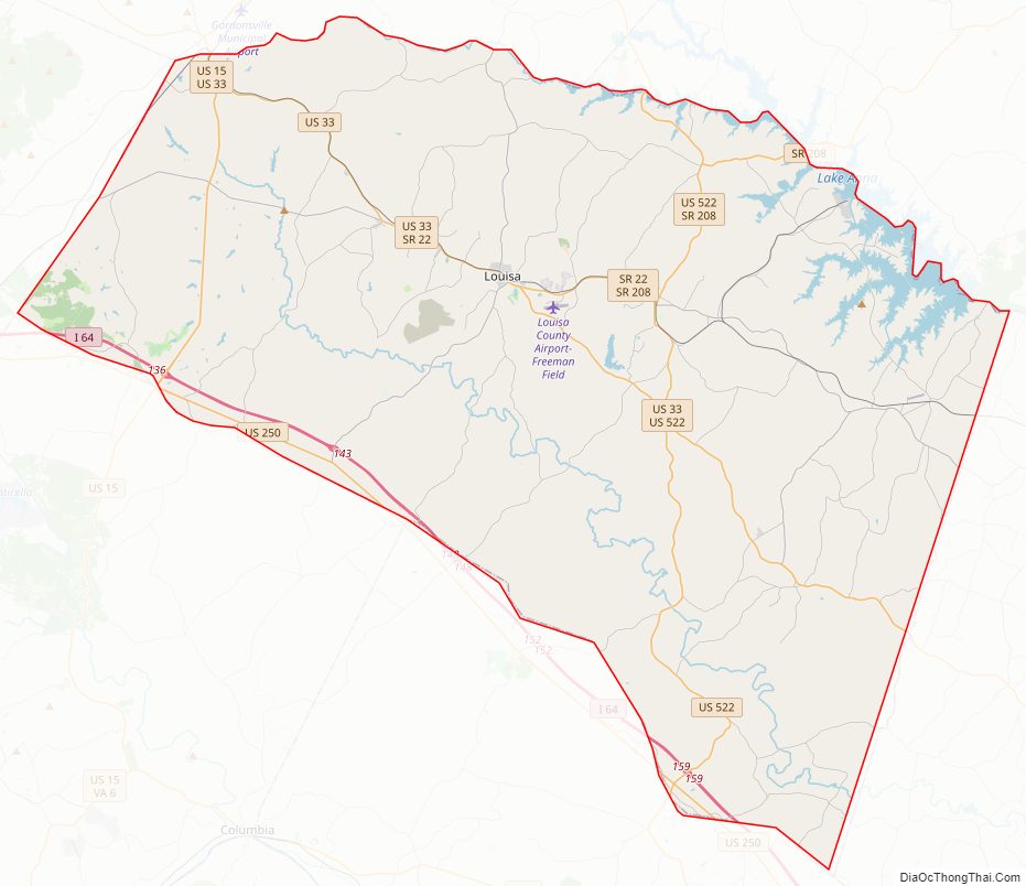
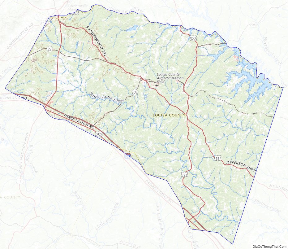
Louisa County Road Map
Geography
According to the U.S. Census Bureau, the county has a total area of 511 square miles (1,320 km), of which 496 square miles (1,280 km) is land and 15 square miles (39 km) (2.9%) is water.
Adjacent counties
- Orange County – north
- Spotsylvania County – northeast
- Hanover County – east
- Goochland County – south
- Fluvanna County – southwest
- Albemarle County – west
Major highways
- I-64
- US 15
- US 33
- US 250
- US 522
- SR 22
- SR 208
- SR 231
Louisa County Topographic Map
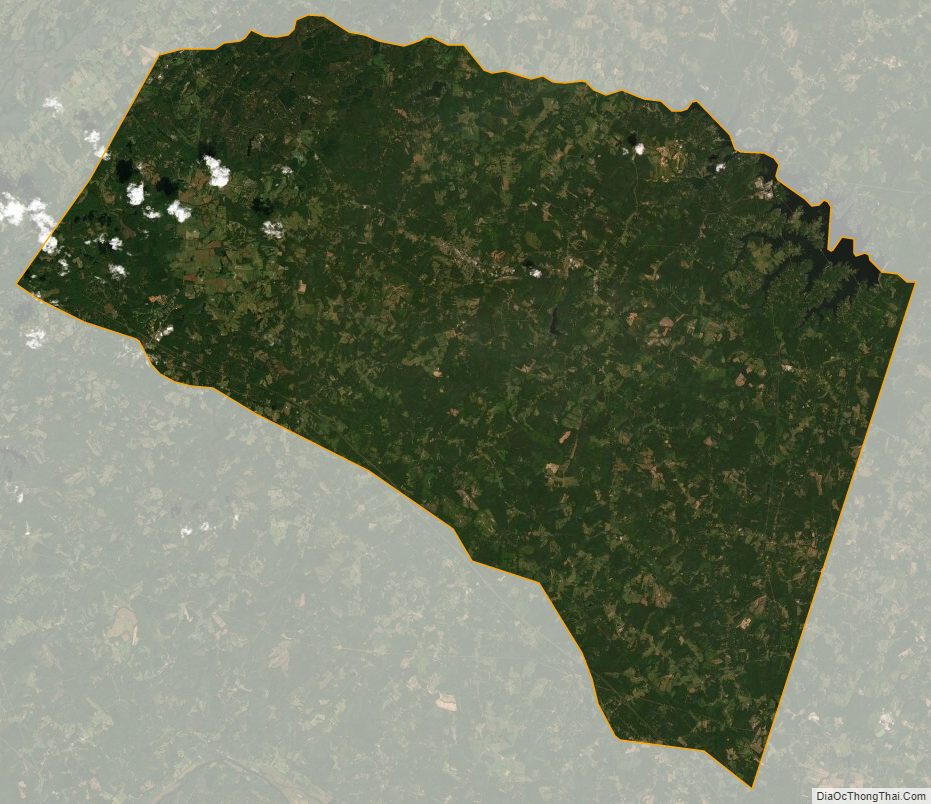
Louisa County Satellite Map
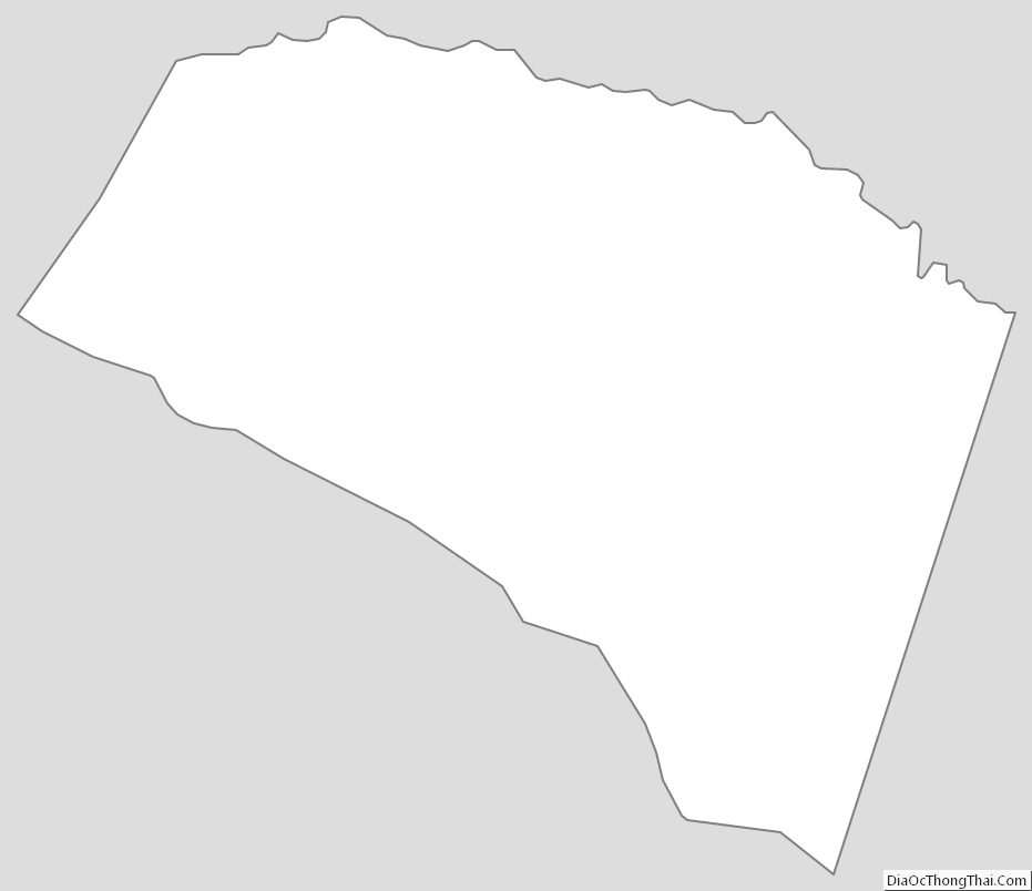
Louisa County Outline Map