Madison County is a county located in the Lead Belt region of the U.S. state of Missouri. As of the 2020 census, the population was 12,626. Its county seat and largest city is Fredericktown. The county was officially organized on December 14, 1818, and was named after President James Madison.
Mining has been a key industry in this area with Madison County recorded as having the oldest lead mine west of the Mississippi River.
Name: | Madison County |
---|---|
FIPS code: | 29-123 |
State: | Missouri |
Founded: | December 14, 1818 |
Named for: | James Madison |
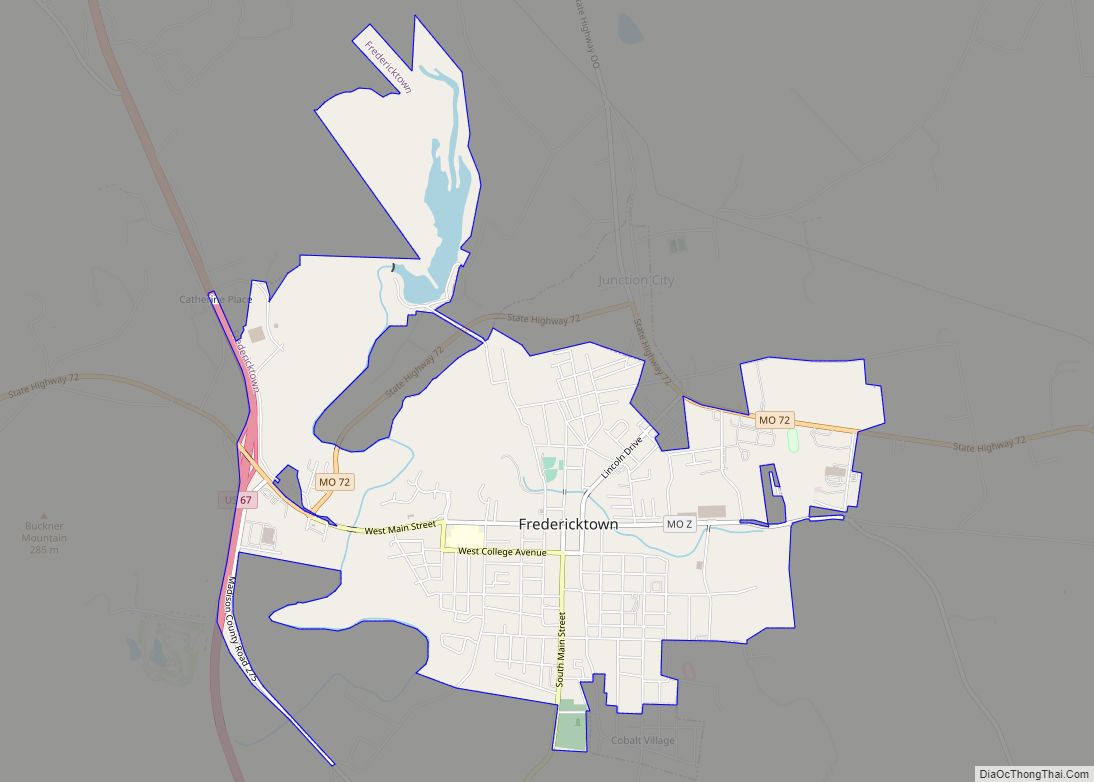
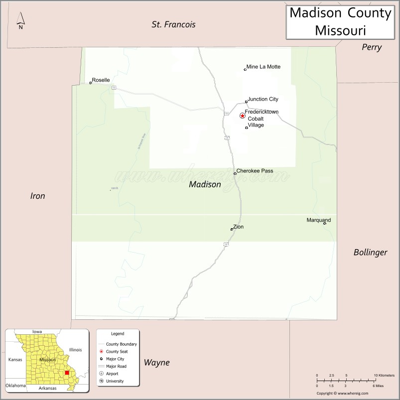
Seat: | Fredericktown |
Largest city: | Fredericktown |
Total Area: | 498 sq mi (1,290 km²) |
Land Area: | 494 sq mi (1,280 km²) |
Total Population: | 12,626 |
Population Density: | 25/sq mi (9.8/km²) |
Time zone: | UTC−6 (Central) |
Summer Time Zone (DST): | UTC−5 (CDT) |
Website: | madisoncountymo.us |
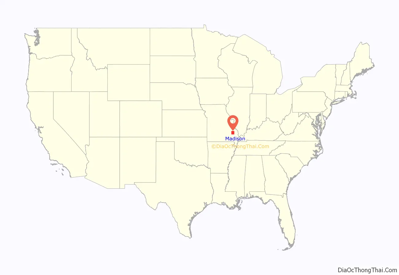
Madison County location map. Where is Madison County?
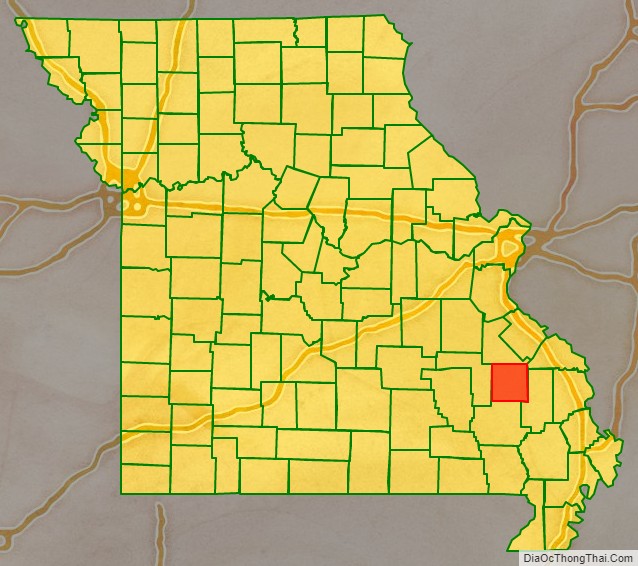
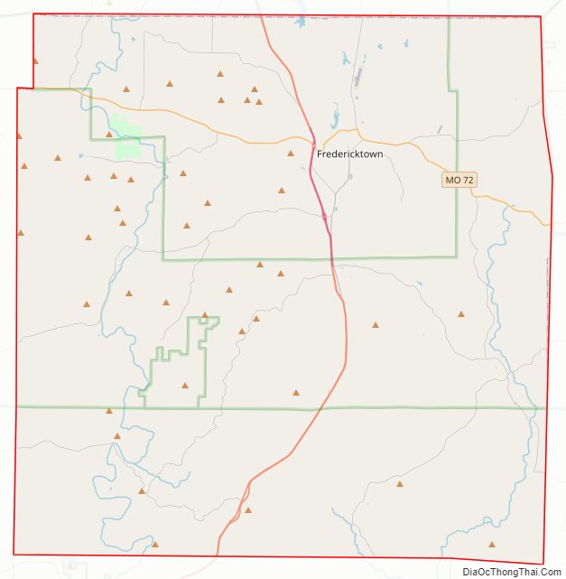
Madison County Road Map
Geography
According to the U.S. Census Bureau, the county has a total area of 498 square miles (1,290 km), of which 494 square miles (1,280 km) is land and 3.2 square miles (8.3 km) (0.6%) is water.
Adjacent counties
- St. Francois County (north)
- Perry County (northeast)
- Bollinger County (east)
- Wayne County (south)
- Iron County (west)
Major highways
- U.S. Route 67
- Route 72
National protected area
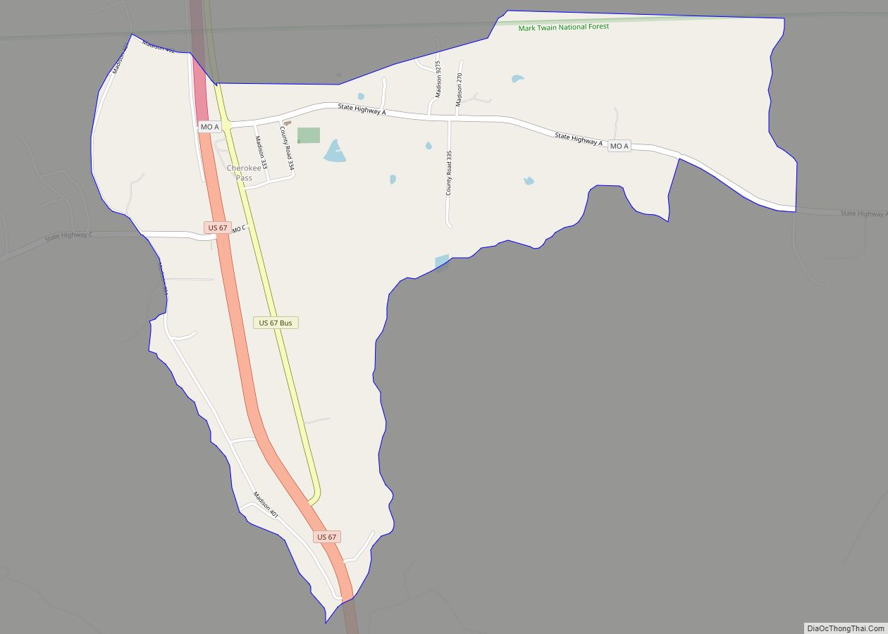
- Mark Twain National Forest (part)
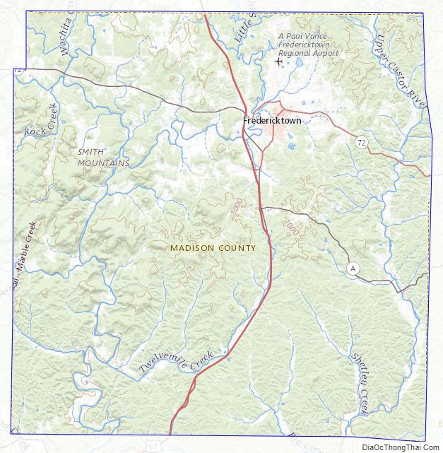
Madison County Topographic Map
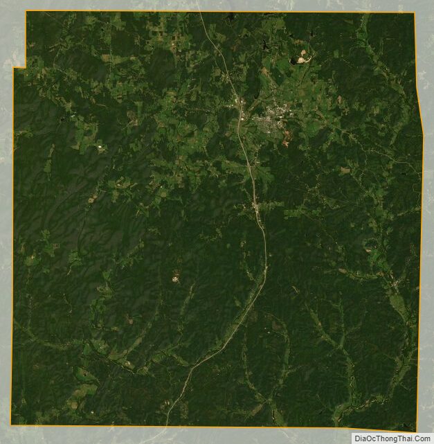
Madison County Satellite Map
Madison County Outline Map
See also
Map of Missouri State and its subdivision:- Adair
- Andrew
- Atchison
- Audrain
- Barry
- Barton
- Bates
- Benton
- Bollinger
- Boone
- Buchanan
- Butler
- Caldwell
- Callaway
- Camden
- Cape Girardeau
- Carroll
- Carter
- Cass
- Cedar
- Chariton
- Christian
- Clark
- Clay
- Clinton
- Cole
- Cooper
- Crawford
- Dade
- Dallas
- Daviess
- De Kalb
- Dent
- Douglas
- Dunklin
- Franklin
- Gasconade
- Gentry
- Greene
- Grundy
- Harrison
- Henry
- Hickory
- Holt
- Howard
- Howell
- Iron
- Jackson
- Jasper
- Jefferson
- Johnson
- Knox
- Laclede
- Lafayette
- Lawrence
- Lewis
- Lincoln
- Linn
- Livingston
- Macon
- Madison
- Maries
- Marion
- McDonald
- Mercer
- Miller
- Mississippi
- Moniteau
- Monroe
- Montgomery
- Morgan
- New Madrid
- Newton
- Nodaway
- Oregon
- Osage
- Ozark
- Pemiscot
- Perry
- Pettis
- Phelps
- Pike
- Platte
- Polk
- Pulaski
- Putnam
- Ralls
- Randolph
- Ray
- Reynolds
- Ripley
- Saint Charles
- Saint Clair
- Saint Francois
- Saint Louis
- Sainte Genevieve
- Saline
- Schuyler
- Scotland
- Scott
- Shannon
- Shelby
- Stoddard
- Stone
- Sullivan
- Taney
- Texas
- Vernon
- Warren
- Washington
- Wayne
- Webster
- Worth
- Wright
- Alabama
- Alaska
- Arizona
- Arkansas
- California
- Colorado
- Connecticut
- Delaware
- District of Columbia
- Florida
- Georgia
- Hawaii
- Idaho
- Illinois
- Indiana
- Iowa
- Kansas
- Kentucky
- Louisiana
- Maine
- Maryland
- Massachusetts
- Michigan
- Minnesota
- Mississippi
- Missouri
- Montana
- Nebraska
- Nevada
- New Hampshire
- New Jersey
- New Mexico
- New York
- North Carolina
- North Dakota
- Ohio
- Oklahoma
- Oregon
- Pennsylvania
- Rhode Island
- South Carolina
- South Dakota
- Tennessee
- Texas
- Utah
- Vermont
- Virginia
- Washington
- West Virginia
- Wisconsin
- Wyoming