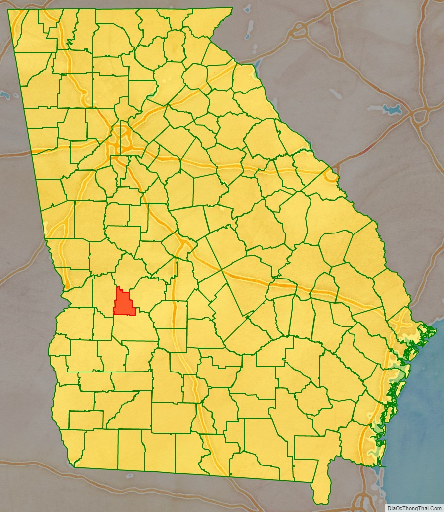
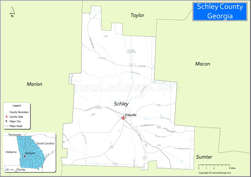
Schley County (/slaɪ/ SLY) is a county located in the west-central portion of the U.S. state of Georgia. As of the 2020 Census, its population was 4,547. The county seat is Ellaville.
Schley County is part of the Americus, GA Micropolitan Statistical Area. It is named in honor of Governor William Schley.
| Name: | Schley County |
|---|---|
| FIPS code: | 13-249 |
| State: | Georgia |
| Founded: | 1857 |
| Named for: | William Schley |
| Seat: | Ellaville |
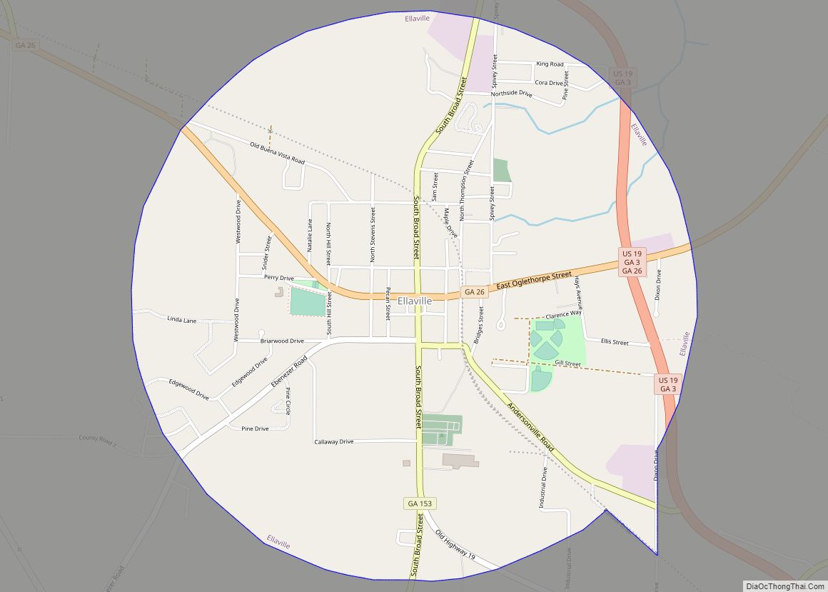
| Largest city: | Ellaville |
| Total Area: | 168 sq mi (440 km²) |
| Land Area: | 167 sq mi (430 km²) |
| Total Population: | 4,547 |
| Population Density: | 27/sq mi (10/km²) |
| Time zone: | UTC−5 (Eastern) |
| Summer Time Zone (DST): | UTC−4 (EDT) |
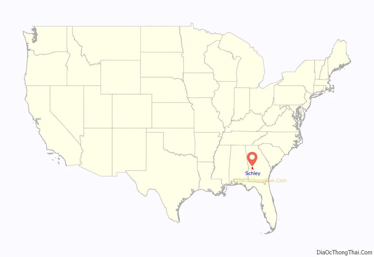
Schley County location map. Where is Schley County?
History
The county was created by an act of the Georgia General Assembly on December 22, 1857, and is named for William Schley, United States Representative and thirty-sixth governor of Georgia.
The first county courthouse was built in 1858. The present Schley County Courthouse dates from 1899.
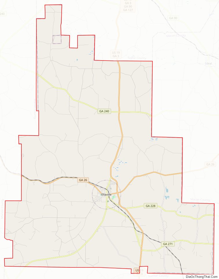
Schley County Road Map
Geography
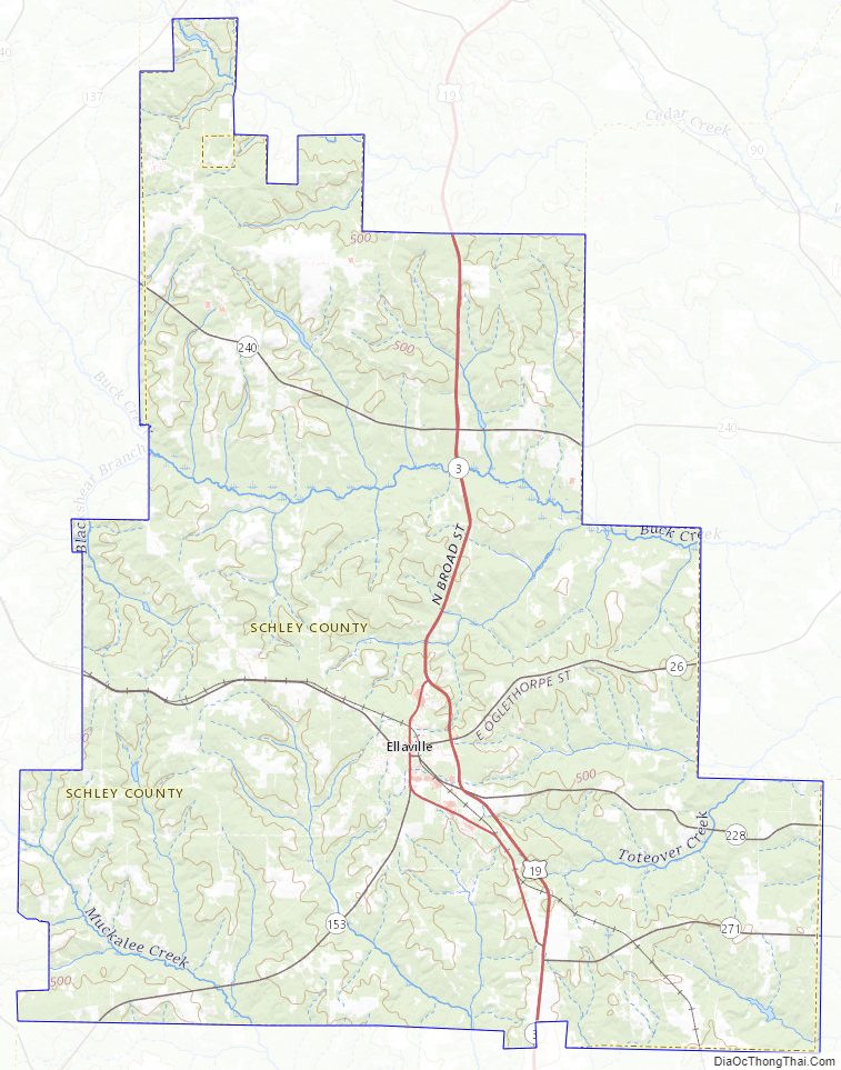
According to the U.S. Census Bureau, the county has a total area of 168 square miles (440 km), of which 167 square miles (430 km) is land and 0.9 square miles (2.3 km) (0.5%) is water.
The central portion of Schley County, roughly north of Ellaville, is located in the Middle Flint River sub-basin of the ACF River Basin (Apalachicola-Chattahoochee-Flint River Basin). The very northern border area of the county is located in the Upper Flint River sub-basin of the same ACF River Basin. The southwestern portion of Schley County, southwest of Ellaville, is located in the Kinchafoonee-Muckalee sub-basin of the same larger ACF River Basin.
Major highways
- U.S. Route 19
- State Route 3
- State Route 26
- State Route 153
- State Route 228
- State Route 240
- State Route 271
Adjacent counties
- Taylor County (north)
- Macon County (east)
- Sumter County (south)
- Marion County (west)
Schley County Topographic Map
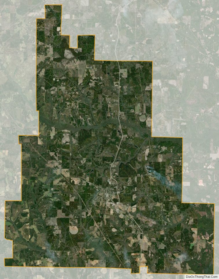
Schley County Satellite Map
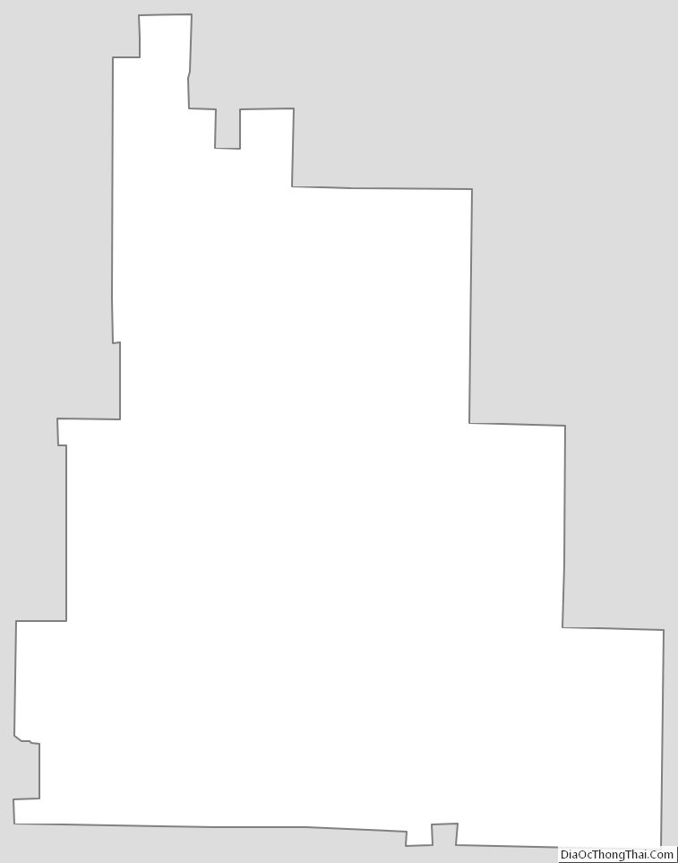
Schley County Outline Map