Buena Vista (/ˌbjuːnə ˈvɪstə/ BEW-nə VIS-tə) is a city in Marion County, Georgia, United States. It is part of the Columbus, Georgia–Alabama Metropolitan Statistical Area. The population was 1,585 at the 2020 census, down from 2,173 in 2010. Formerly known as “Pea Ridge”, the city changed its name to Buena Vista in honor of Zachary Taylor’s victory in the Mexican–American War. The city is the county seat of Marion County. It is the birthplace of baseball legend Josh Gibson and Medal of Honor recipient Luther H. Story.
| Name: | Buena Vista city |
|---|---|
| LSAD Code: | 25 |
| LSAD Description: | city (suffix) |
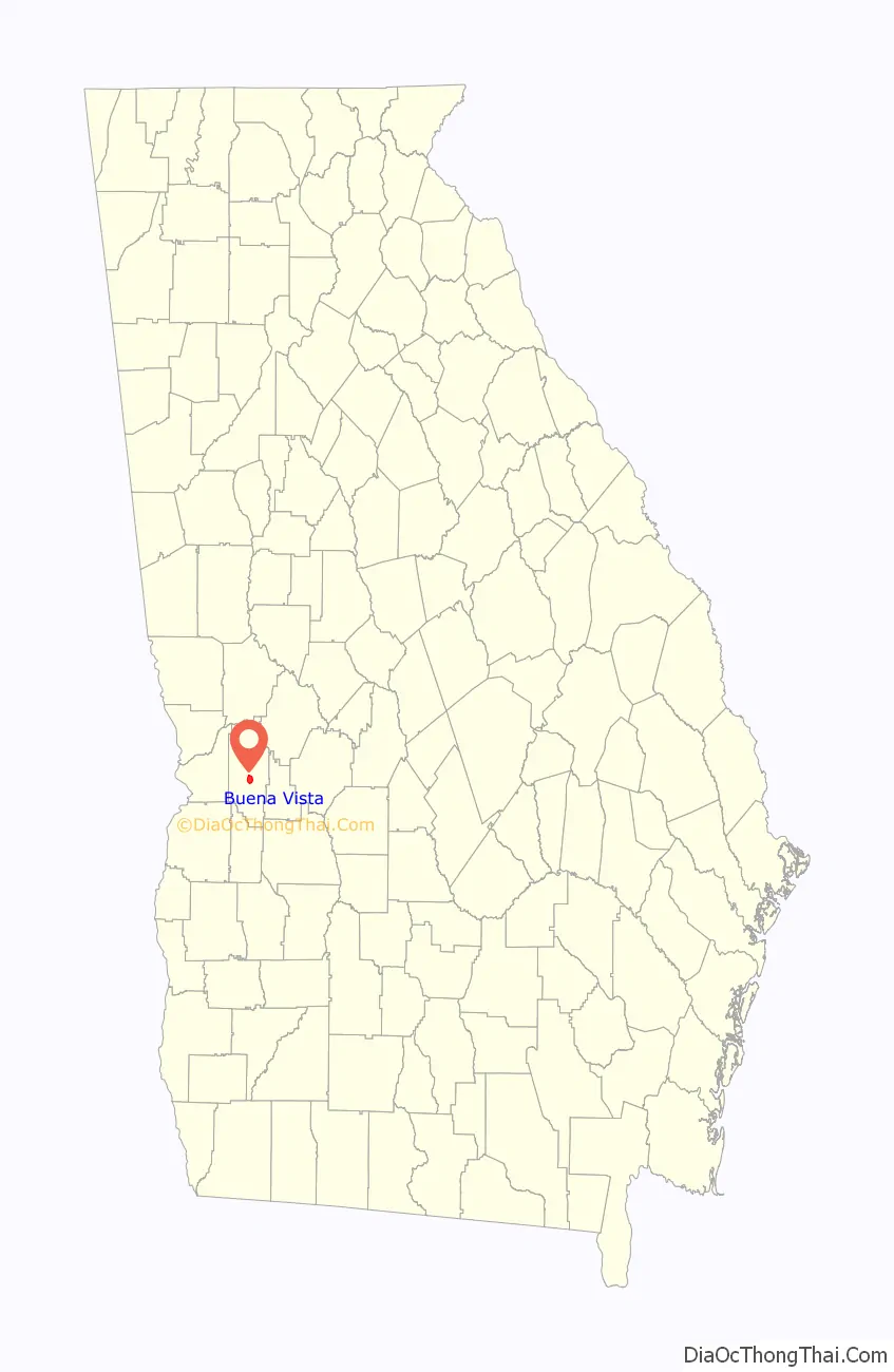
| State: | Georgia |
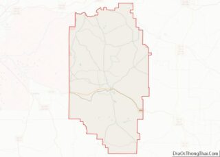
| County: | Marion County |
| Elevation: | 719 ft (219 m) |
| Total Area: | 3.27 sq mi (8.48 km²) |
| Land Area: | 3.22 sq mi (8.34 km²) |
| Water Area: | 0.06 sq mi (0.14 km²) |
| Total Population: | 1,585 |
| Population Density: | 492.39/sq mi (190.11/km²) |
| ZIP code: | 31803 |
| Area code: | 229 |
| FIPS code: | 1311728 |
| GNISfeature ID: | 0354903 |
Online Interactive Map
Click on ![]() to view map in "full screen" mode.
to view map in "full screen" mode.
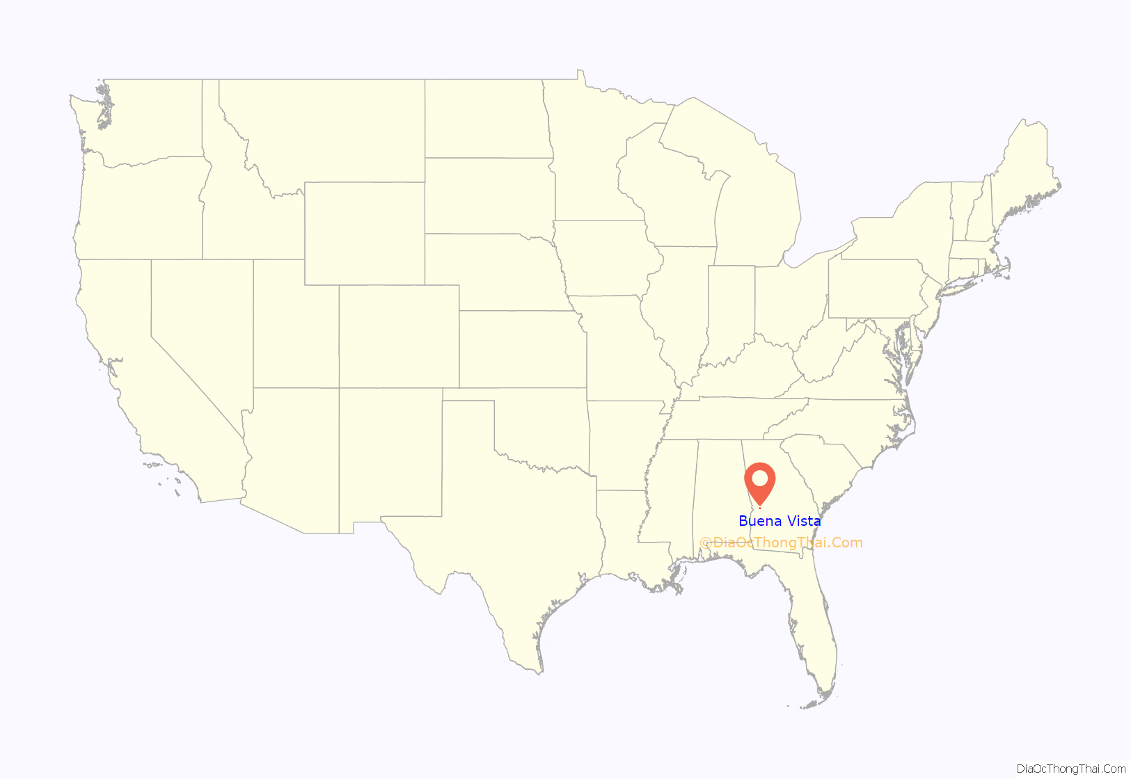
Buena Vista location map. Where is Buena Vista city?
History
Buena Vista was founded in 1830. In 1850, the seat of Marion County was transferred to Buena Vista from Tazewell. Buena Vista was incorporated as a town in 1850 and as a city in 1920.
Buena Vista Road Map
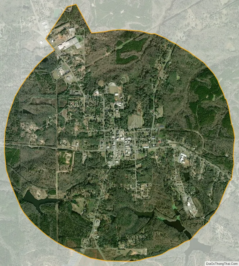
Buena Vista city Satellite Map
Geography
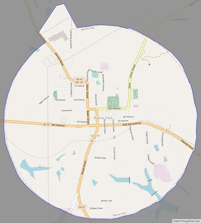
Buena Vista is in central Marion County in western Georgia. Georgia State Routes 26 and 41 cross in the center of town. SR 26 leads west 16 miles (26 km) to Cusseta and southeast 14 miles (23 km) to Ellaville, while SR 41 leads north 19 miles (31 km) to Geneva and south 19 miles (31 km) to Preston. State Route 137 leads northeast 6 miles (10 km) to Tazewell and west-northwest 7 miles (11 km) to Union.
According to the United States Census Bureau, Buena Vista has a total area of 3.3 square miles (8.5 km), of which 0.06 square miles (0.16 km), or 1.68%, are water. The city is part of the Flint River watershed. Sitting atop a ridge, it is drained by three separate stream systems. To the northeast is Oochee Creek, an east-flowing tributary of Buck Creek, which runs to the Flint River at Montezuma. The southeast part of the city drains to Muckalee Creek, which joins the Flint River at Albany. The west side of Buena Vista drains to Peacock Ditch, a tributary of Kinchafoonee Creek, which joins Muckalee Creek at Albany.
See also
Map of Georgia State and its subdivision:- Appling
- Atkinson
- Bacon
- Baker
- Baldwin
- Banks
- Barrow
- Bartow
- Ben Hill
- Berrien
- Bibb
- Bleckley
- Brantley
- Brooks
- Bryan
- Bulloch
- Burke
- Butts
- Calhoun
- Camden
- Candler
- Carroll
- Catoosa
- Charlton
- Chatham
- Chattahoochee
- Chattooga
- Cherokee
- Clarke
- Clay
- Clayton
- Clinch
- Cobb
- Coffee
- Colquitt
- Columbia
- Cook
- Coweta
- Crawford
- Crisp
- Dade
- Dawson
- Decatur
- DeKalb
- Dodge
- Dooly
- Dougherty
- Douglas
- Early
- Echols
- Effingham
- Elbert
- Emanuel
- Evans
- Fannin
- Fayette
- Floyd
- Forsyth
- Franklin
- Fulton
- Gilmer
- Glascock
- Glynn
- Gordon
- Grady
- Greene
- Gwinnett
- Habersham
- Hall
- Hancock
- Haralson
- Harris
- Hart
- Heard
- Henry
- Houston
- Irwin
- Jackson
- Jasper
- Jeff Davis
- Jefferson
- Jenkins
- Johnson
- Jones
- Lamar
- Lanier
- Laurens
- Lee
- Liberty
- Lincoln
- Long
- Lowndes
- Lumpkin
- Macon
- Madison
- Marion
- McDuffie
- McIntosh
- Meriwether
- Miller
- Mitchell
- Monroe
- Montgomery
- Morgan
- Murray
- Muscogee
- Newton
- Oconee
- Oglethorpe
- Paulding
- Peach
- Pickens
- Pierce
- Pike
- Polk
- Pulaski
- Putnam
- Quitman
- Rabun
- Randolph
- Richmond
- Rockdale
- Schley
- Screven
- Seminole
- Spalding
- Stephens
- Stewart
- Sumter
- Talbot
- Taliaferro
- Tattnall
- Taylor
- Telfair
- Terrell
- Thomas
- Tift
- Toombs
- Towns
- Treutlen
- Troup
- Turner
- Twiggs
- Union
- Upson
- Walker
- Walton
- Ware
- Warren
- Washington
- Wayne
- Webster
- Wheeler
- White
- Whitfield
- Wilcox
- Wilkes
- Wilkinson
- Worth
- Alabama
- Alaska
- Arizona
- Arkansas
- California
- Colorado
- Connecticut
- Delaware
- District of Columbia
- Florida
- Georgia
- Hawaii
- Idaho
- Illinois
- Indiana
- Iowa
- Kansas
- Kentucky
- Louisiana
- Maine
- Maryland
- Massachusetts
- Michigan
- Minnesota
- Mississippi
- Missouri
- Montana
- Nebraska
- Nevada
- New Hampshire
- New Jersey
- New Mexico
- New York
- North Carolina
- North Dakota
- Ohio
- Oklahoma
- Oregon
- Pennsylvania
- Rhode Island
- South Carolina
- South Dakota
- Tennessee
- Texas
- Utah
- Vermont
- Virginia
- Washington
- West Virginia
- Wisconsin
- Wyoming