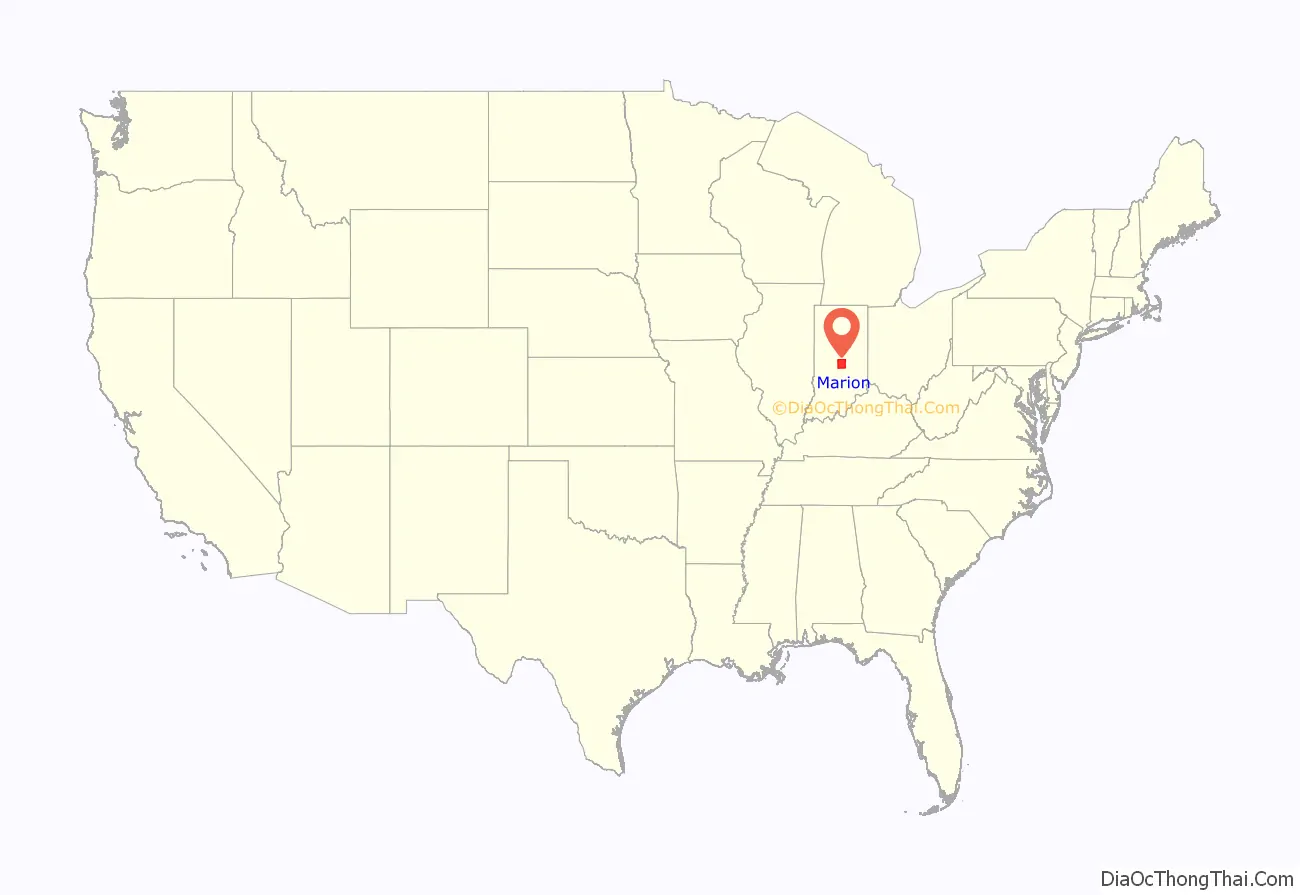
Marion County is located in the U.S. state of Indiana. The 2020 United States census reported a population of 977,203, making it the largest county in the state and 51st most populated county in the country. Indianapolis is the county seat, the state capital, and largest city. Marion County is consolidated with Indianapolis through an arrangement known as Unigov.
Marion County is the central county of the Indianapolis–Carmel–Anderson MSA in Central Indiana.
| Name: | Marion County |
|---|---|
| FIPS code: | 18-097 |
| State: | Indiana |
| Founded: | April 1, 1822 |
| Named for: | Francis Marion |
| Seat: | Indianapolis |
| Largest city: | Indianapolis |
| Total Area: | 403.01 sq mi (1,043.8 km²) |
| Land Area: | 396.30 sq mi (1,026.4 km²) |
| Total Population: | 977,203 |
| Population Density: | 2,466/sq mi (952/km²) |
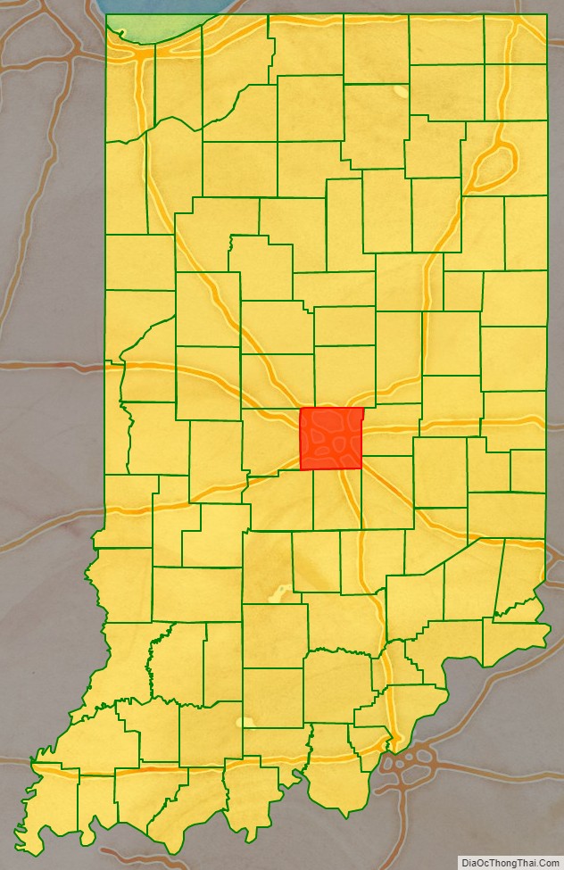
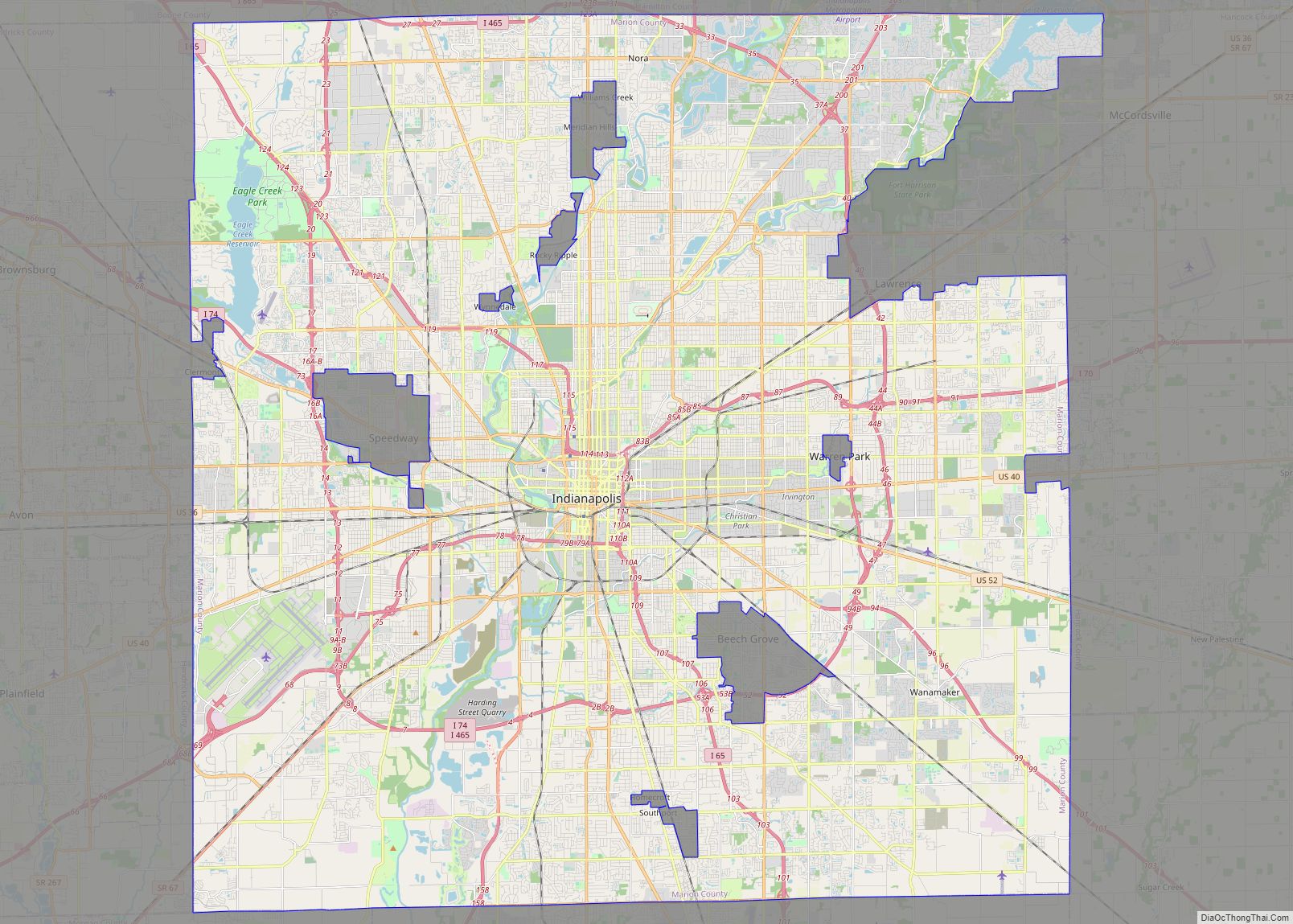
Marion County location map. Where is Marion County?
History
Marion County was created on April 1, 1822, from part of the “New Purchase” lands that had been obtained from its inhabitants, the Lenape, by the Treaty of St. Mary’s. It is named for Francis Marion, a brigadier general from South Carolina in the American Revolutionary War.
The state capital was moved to Indianapolis in Marion County from Corydon on January 10, 1825. This began a period of rapid growth in population.
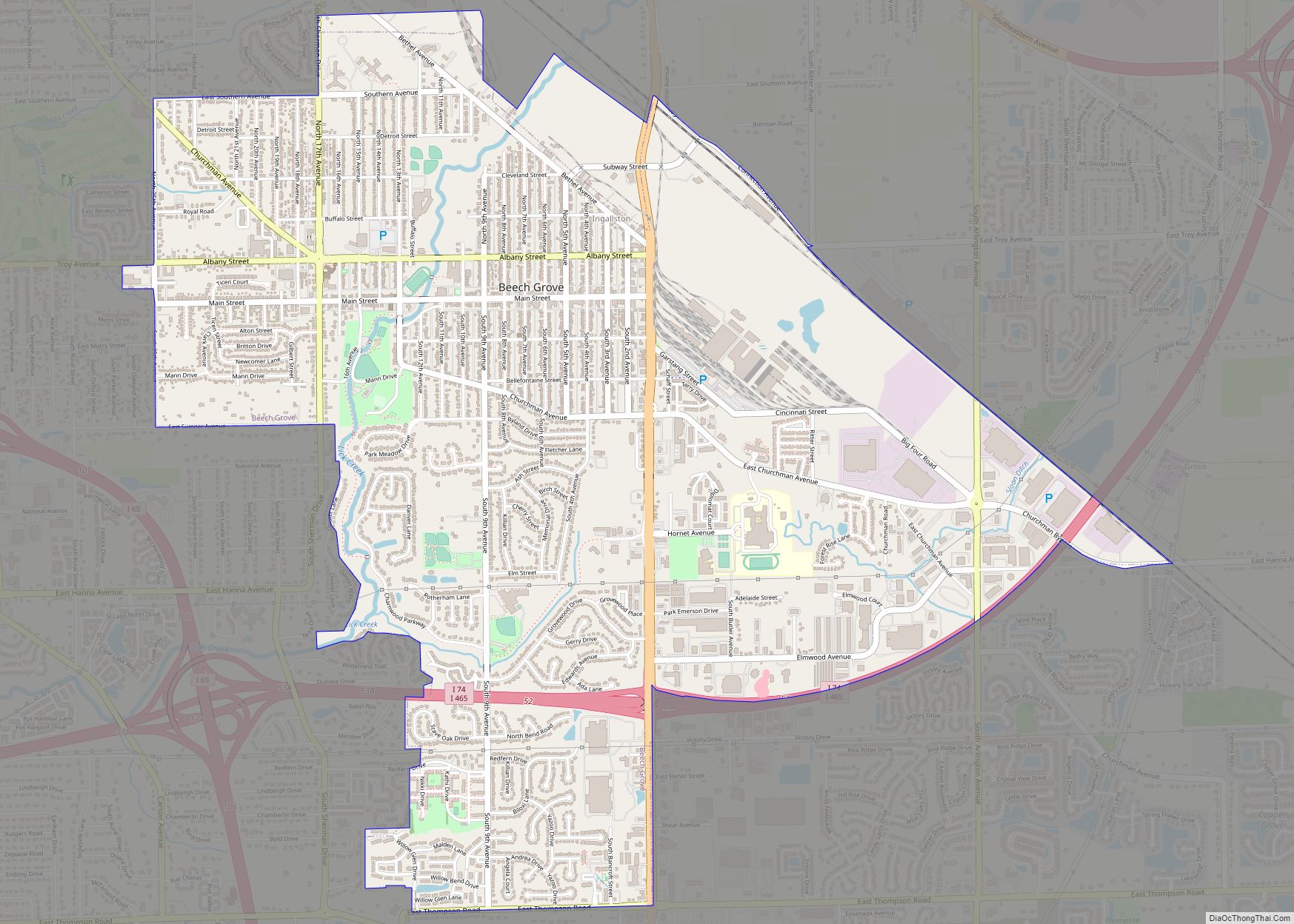
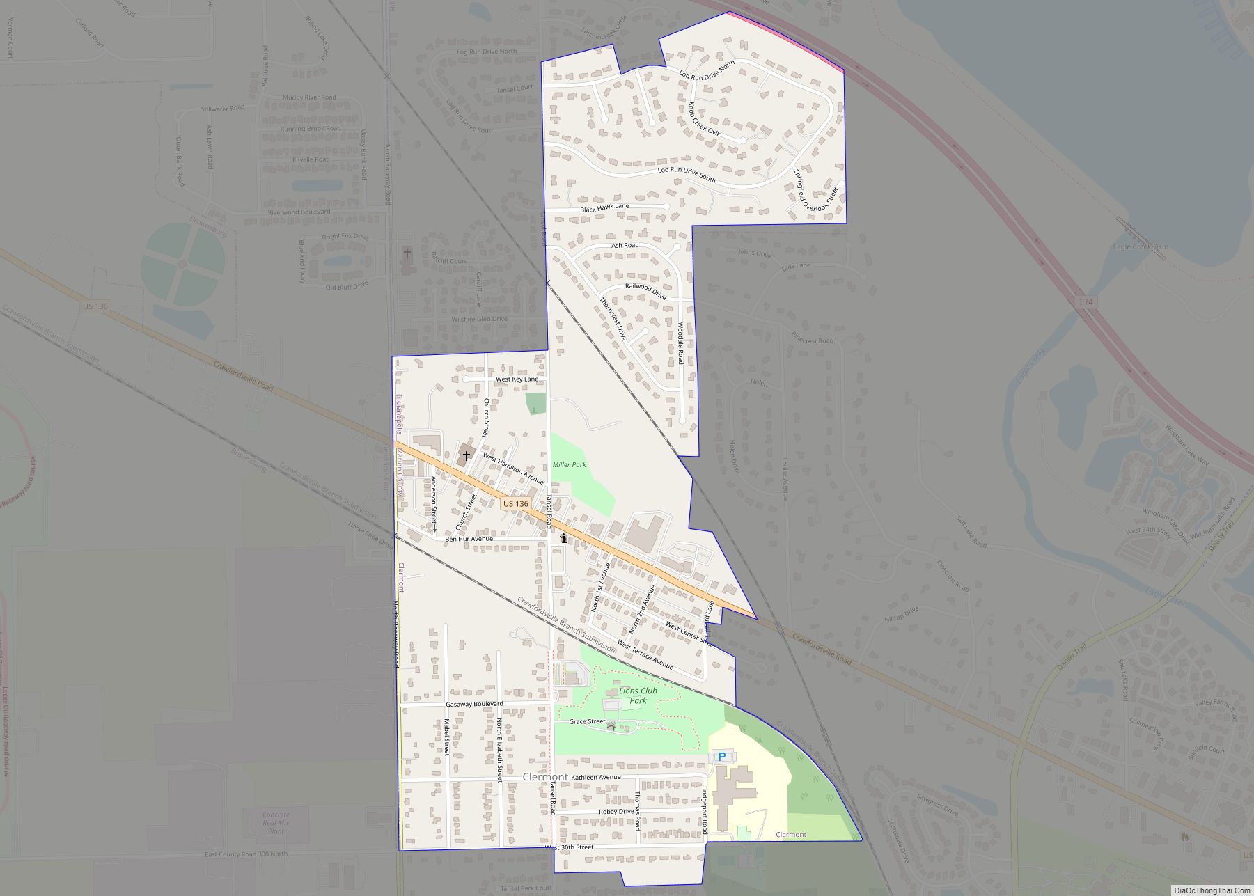
Marion County Road Map
Geography
The low rolling hills of Marion County have been cleared of trees, and the area is completely devoted to municipal development or to agriculture, except for wooded drainages. The highest point (920 feet/280 meters ASL) is a small ridge at the county’s northwest corner.
According to the 2010 census, the county has an area of 403.01 square miles (1,043.8 km), of which 396.30 square miles (1,026.4 km) (or 98.34%) is land and 6.71 square miles (17.4 km) (or 1.66%) is water.
The White River flows southwestward through the central part of the county; it is joined by Eagle Creek and Fall Creek, both of which have dams in the county forming Eagle Creek Reservoir and Geist Reservoir, respectively.
Marion County has two Indiana State Parks, Fort Harrison State Park and White River State Park, as well as many municipal parks.
Adjacent counties
- Hamilton County – north
- Hancock County – east
- Shelby County – southeast
- Johnson County – south
- Morgan County – southwest
- Hendricks County – west
- Boone County – northwest
