Hancock County is a county in the U.S. state of Indiana. The 2020 United States Census recorded a population of 79,840. The county seat is Greenfield.
Hancock County is included in the Indianapolis-Carmel–Anderson, IN Metropolitan Statistical Area
| Name: | Hancock County |
|---|---|
| FIPS code: | 18-059 |
| State: | Indiana |
| Founded: | 1 March 1828 |
| Named for: | John Hancock |
| Seat: | Greenfield |
| Largest city: | Greenfield |
| Total Area: | 307.02 sq mi (795.2 km²) |
| Land Area: | 306.02 sq mi (792.6 km²) |
| Population Density: | 249/sq mi (96.3/km²) |
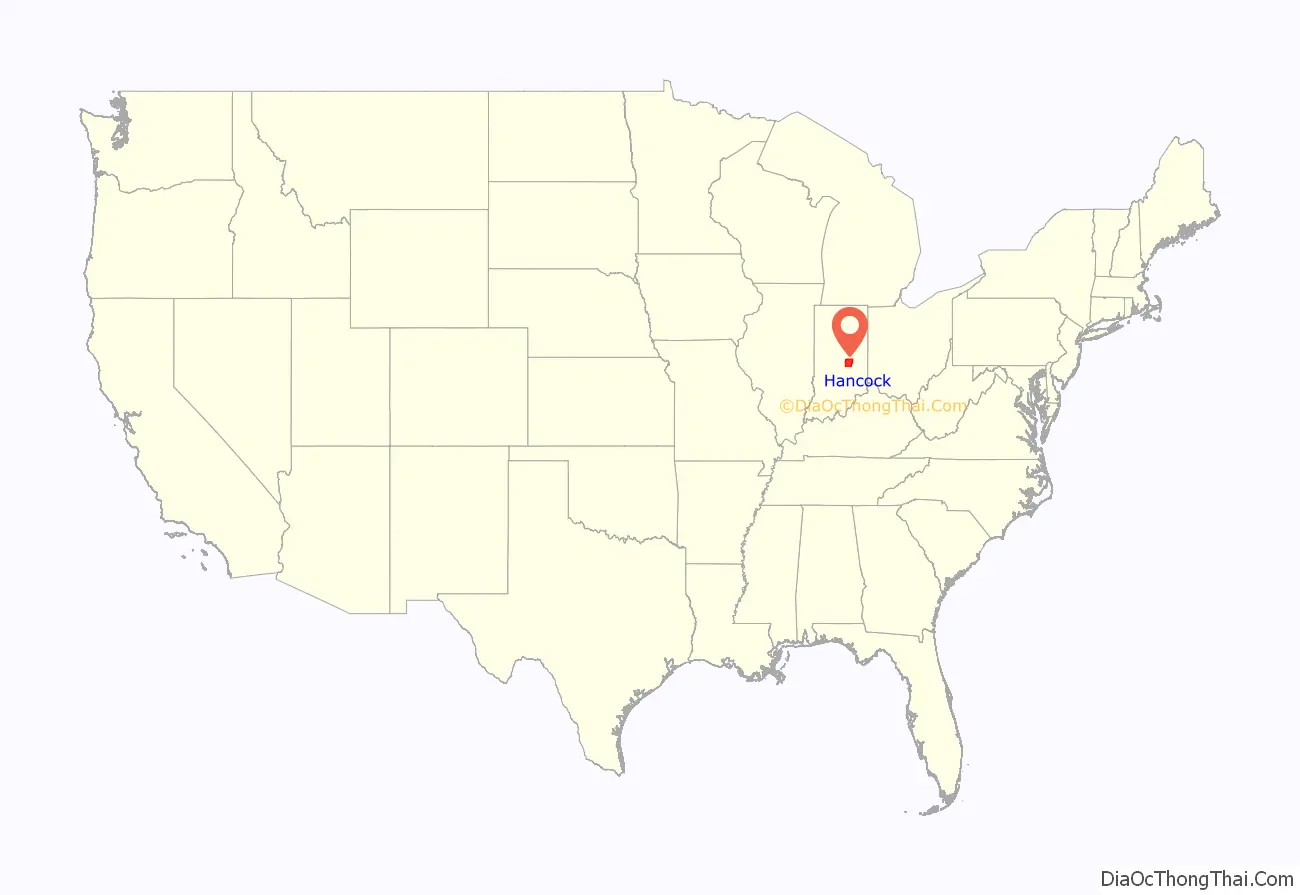
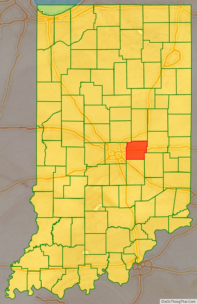
Hancock County location map. Where is Hancock County?
History
Indiana was admitted as a state to the United States on 11 December 1816, although much of its territory was still disputed or held by native peoples at that time. These indigenous claims were quickly reduced and removed by various treaties. The 1818 Treaty with the Delaware Indians brought most of central Indiana into state control, and Madison County was organized on a portion of that area. The lower portion of Madison County was quickly settled, and by the late 1820s the inhabitants were petitioning for a separate county government. Accordingly, a portion of the county was partitioned on 1 March 1828, to form Hancock County. Greenfield was named as the county seat on 11 April. The county name recognized John Hancock, president of the Continental Congress, who had signed his name prominently to the Declaration of Independence in 1776. The county has retained its original borders since its 1828 creation.
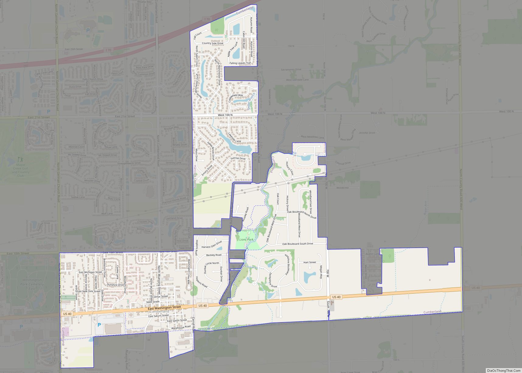
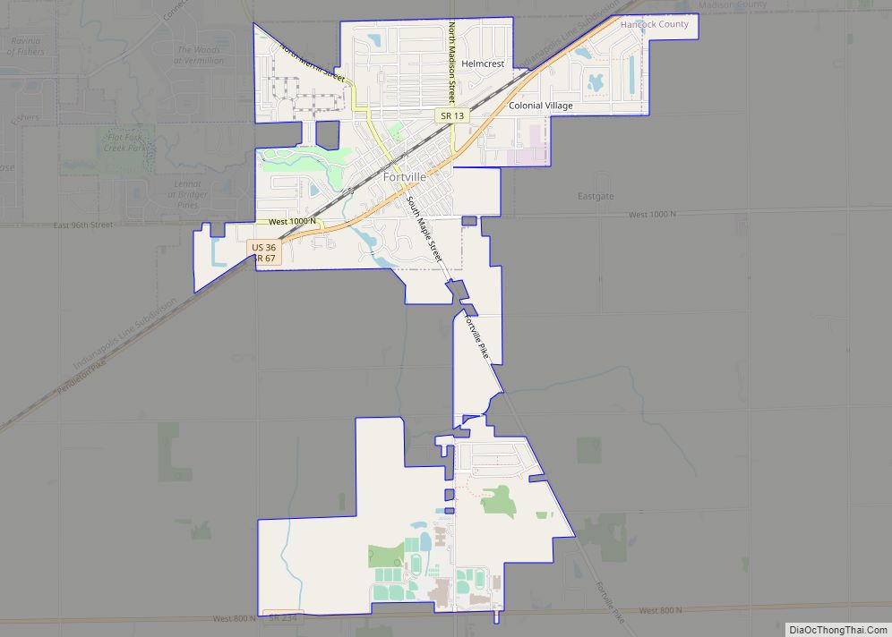
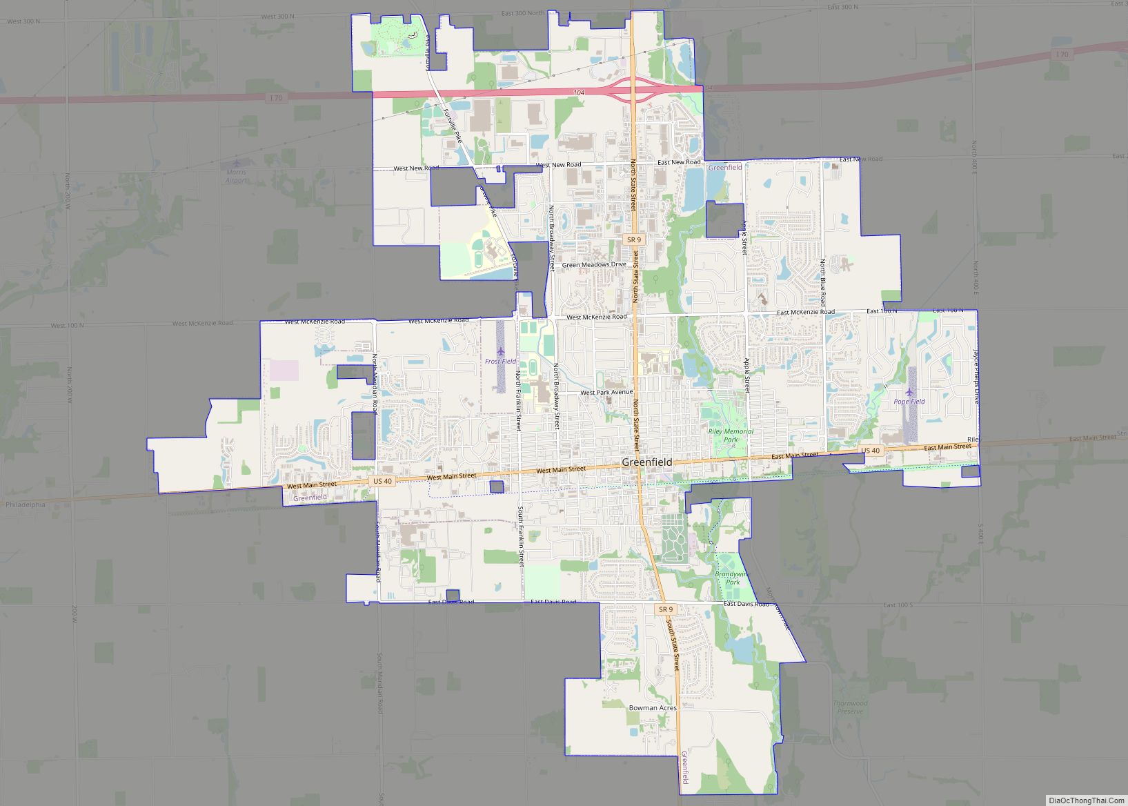
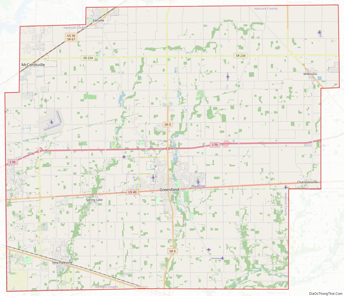
Hancock County Road Map
Geography
The terrain of Hancock County is low rolling hills, sloping to the south and southwest, carved by drainages. All available area is devoted to agriculture or urban development. The highest point is a small prominence in NW Shirley, at 1,040′ (317m) ASL. According to the 2010 census, the county has a total area of 307.02 square miles (795.2 km), of which 306.02 square miles (792.6 km) (or 99.67%) is land and 1.01 square miles (2.6 km) (or 0.33%) is water.
Adjacent counties
- Madison County – north
- Henry County – east
- Rush County – southeast
- Shelby County – south
- Marion County – west
- Hamilton County – northwest
Major highways
- Interstate 70
- U.S. Route 36
- U.S. Route 40
- U.S. Route 52
- State Road 9
- State Road 13
- State Road 67
- State Road 109
- State Road 234
- State Road 238
Airport
- KMQJ – Indianapolis Regional Airport
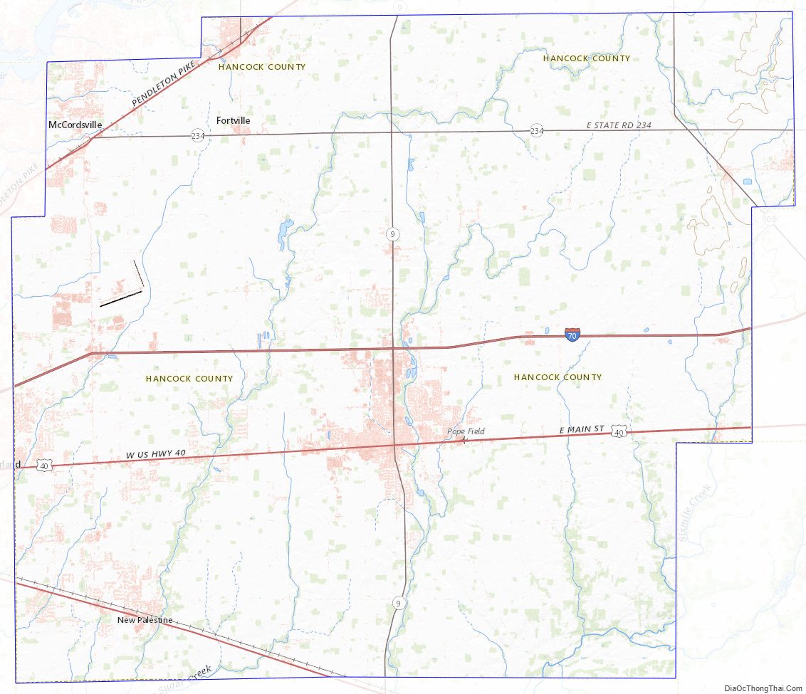
Hancock County Topographic Map
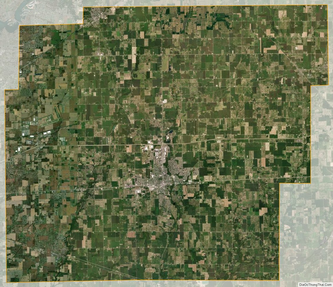
Hancock County Satellite Map
Hancock County Outline Map