Weston is a town in Platte County, Missouri within the United States. The population was 1,641 at the 2010 census.
| Name: | Weston city |
|---|---|
| LSAD Code: | 25 |
| LSAD Description: | city (suffix) |
| State: | Missouri |
| County: | Platte County |
| Elevation: | 971 ft (296 m) |
| Total Area: | 3.83 sq mi (9.93 km²) |
| Land Area: | 3.80 sq mi (9.83 km²) |
| Water Area: | 0.04 sq mi (0.10 km²) |
| Total Population: | 1,756 |
| Population Density: | 462.59/sq mi (178.62/km²) |
| ZIP code: | 64098 |
| Area code: | 816 |
| FIPS code: | 2978856 |
| GNISfeature ID: | 2397282 |
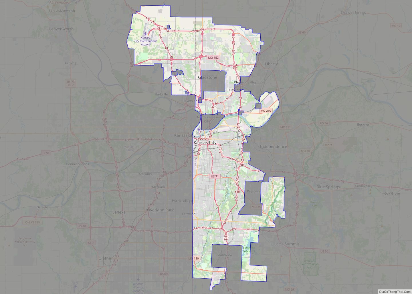
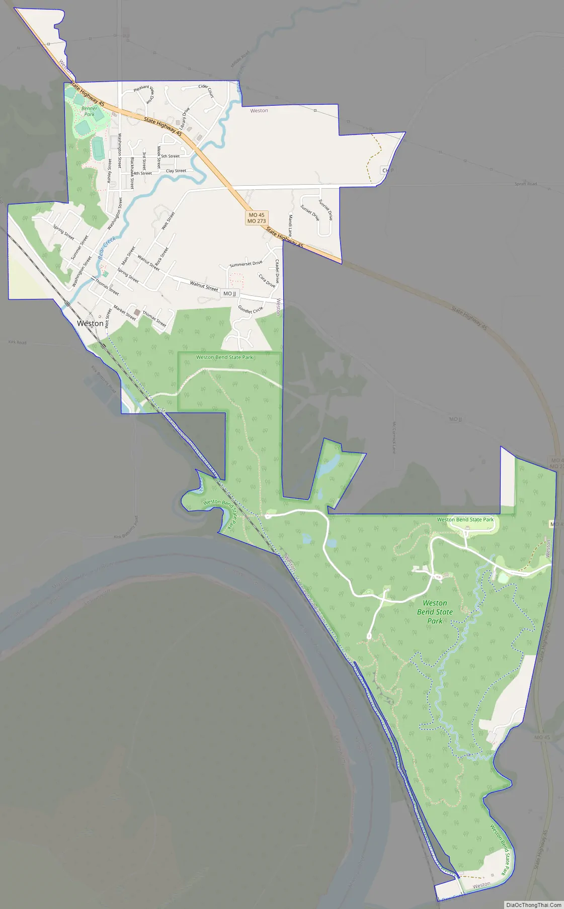
Online Interactive Map
Click on ![]() to view map in "full screen" mode.
to view map in "full screen" mode.
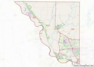
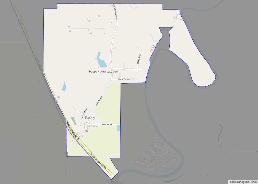
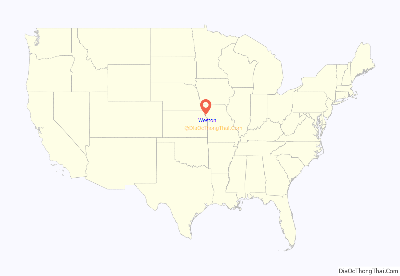
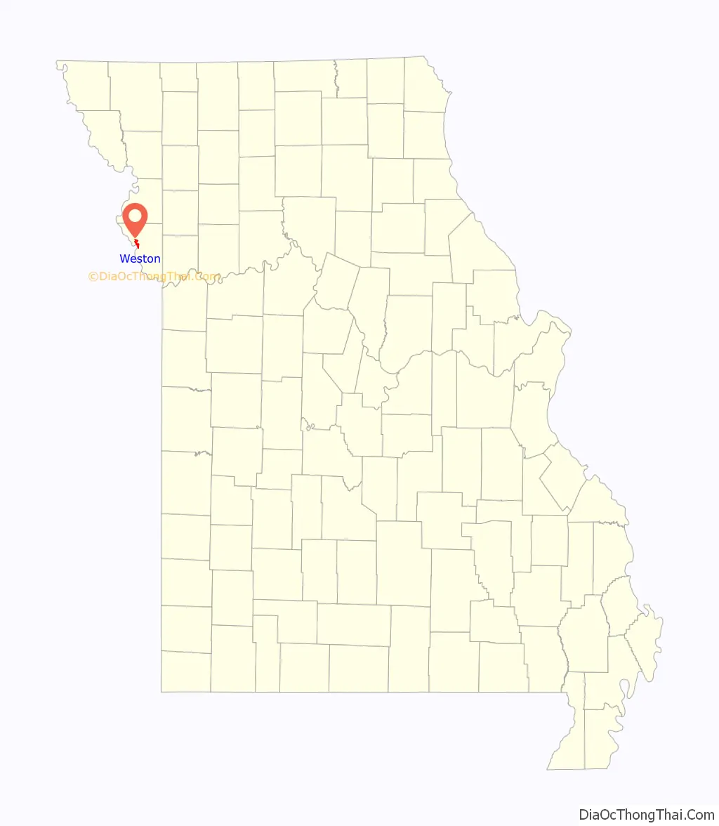
Weston location map. Where is Weston city?
History
The Lewis and Clark Expedition stopped at “Bear Medison” island, near the location of today’s city hall. Weston was the oldest settlement in the Platte Purchase of 1836 and was therefore also the farthest western settlement (thus, “West Town”) in the United States until the admission of Texas as a state in 1845. Another suggested theory of origin is related to a story about a discharged US Army dragoon by the name of Joseph Moore. He bought the land and then had First Sergeant Tom Weston of D Company, First Dragoons, stationed at Fort Leavenworth across the Missouri River, lay out a town plan. The town may have therefore been named for Sgt. Weston.
William “Buffalo Bill” Cody was at one time a resident of Weston, and the town was a major “jumping off” point for the Santa Fe Trail, the Oregon Trail and the California Gold Rush.
In 1881, Weston was the site of the lynching of the biracial Charles Reese after he was accused of the rape and murder of the sixteen-year-old Nancy Stillwell.
Weston was, at one time, the second largest port on the Missouri River, surpassing both Kansas City and St. Joseph and at one point shortly after its founding, claimed to be the second largest city in Missouri. In 1850, over 265 steamboats a year docked at the Port of Weston. A flood in 1881 shifted the river into an old channel some two miles away.
The Weston Brewing Company was first established in 1842 by German immigrant John Georgian, and was one of the first lager beer breweries in the U.S. Five arched, limestone cellars, dug to a depth of 55 feet below ground, were constructed to create the ideal conditions for Georgian’s lager beer, which needed to be stored below 60 degrees. The brewery closed in 1919 when Prohibition was signed into law. In 2005, the Weston Brewing Company reopened and one of the cellars now houses a unique bar which requires patrons to descend down through a small rock faced tunnel to get to the large, cool, cavern like bar.
The McCormick Distillery, Missouri District Warehouse, Pleasant Ridge United Baptist Church, Sugar Creek Site, and Weston Historic District are listed on the National Register of Historic Places.
Weston Road Map
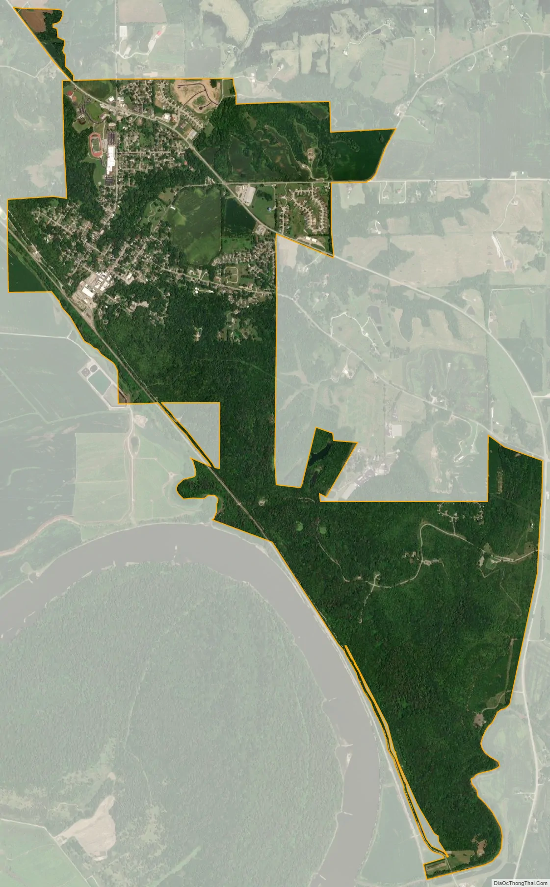
Weston city Satellite Map
Geography
According to the United States Census Bureau, the city has a total area of 3.35 square miles (8.68 km), all land.
See also
Map of Missouri State and its subdivision:- Adair
- Andrew
- Atchison
- Audrain
- Barry
- Barton
- Bates
- Benton
- Bollinger
- Boone
- Buchanan
- Butler
- Caldwell
- Callaway
- Camden
- Cape Girardeau
- Carroll
- Carter
- Cass
- Cedar
- Chariton
- Christian
- Clark
- Clay
- Clinton
- Cole
- Cooper
- Crawford
- Dade
- Dallas
- Daviess
- De Kalb
- Dent
- Douglas
- Dunklin
- Franklin
- Gasconade
- Gentry
- Greene
- Grundy
- Harrison
- Henry
- Hickory
- Holt
- Howard
- Howell
- Iron
- Jackson
- Jasper
- Jefferson
- Johnson
- Knox
- Laclede
- Lafayette
- Lawrence
- Lewis
- Lincoln
- Linn
- Livingston
- Macon
- Madison
- Maries
- Marion
- McDonald
- Mercer
- Miller
- Mississippi
- Moniteau
- Monroe
- Montgomery
- Morgan
- New Madrid
- Newton
- Nodaway
- Oregon
- Osage
- Ozark
- Pemiscot
- Perry
- Pettis
- Phelps
- Pike
- Platte
- Polk
- Pulaski
- Putnam
- Ralls
- Randolph
- Ray
- Reynolds
- Ripley
- Saint Charles
- Saint Clair
- Saint Francois
- Saint Louis
- Sainte Genevieve
- Saline
- Schuyler
- Scotland
- Scott
- Shannon
- Shelby
- Stoddard
- Stone
- Sullivan
- Taney
- Texas
- Vernon
- Warren
- Washington
- Wayne
- Webster
- Worth
- Wright
- Alabama
- Alaska
- Arizona
- Arkansas
- California
- Colorado
- Connecticut
- Delaware
- District of Columbia
- Florida
- Georgia
- Hawaii
- Idaho
- Illinois
- Indiana
- Iowa
- Kansas
- Kentucky
- Louisiana
- Maine
- Maryland
- Massachusetts
- Michigan
- Minnesota
- Mississippi
- Missouri
- Montana
- Nebraska
- Nevada
- New Hampshire
- New Jersey
- New Mexico
- New York
- North Carolina
- North Dakota
- Ohio
- Oklahoma
- Oregon
- Pennsylvania
- Rhode Island
- South Carolina
- South Dakota
- Tennessee
- Texas
- Utah
- Vermont
- Virginia
- Washington
- West Virginia
- Wisconsin
- Wyoming