Warren is a city in and the county seat of Marshall County, Minnesota, United States. The population was 1,605 at the 2020 census.
| Name: | Warren city |
|---|---|
| LSAD Code: | 25 |
| LSAD Description: | city (suffix) |
| State: | Minnesota |
| County: | Marshall County |
| Founded: | 1879 |
| Elevation: | 856 ft (261 m) |
| Total Area: | 1.46 sq mi (3.77 km²) |
| Land Area: | 1.46 sq mi (3.77 km²) |
| Water Area: | 0.00 sq mi (0.00 km²) |
| Total Population: | 1,605 |
| Population Density: | 1,102.34/sq mi (425.53/km²) |
| ZIP code: | 56762 |
| Area code: | 218 |
| FIPS code: | 2768170 |
| GNISfeature ID: | 0653783 |
| Website: | warrenminnesota.com |
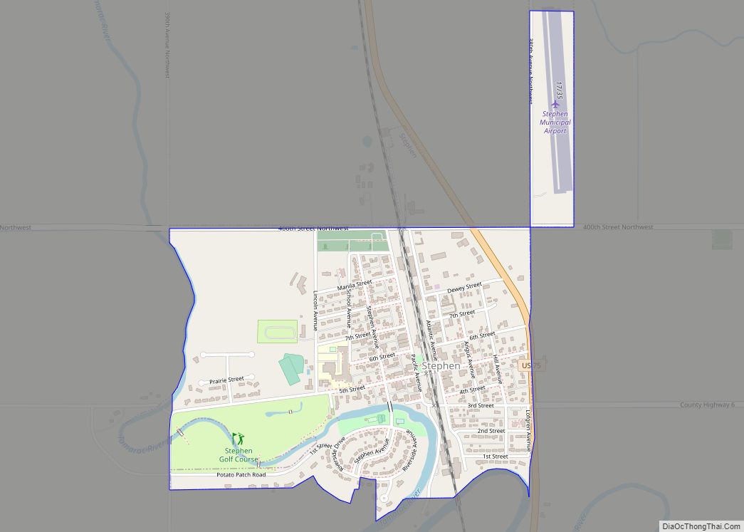
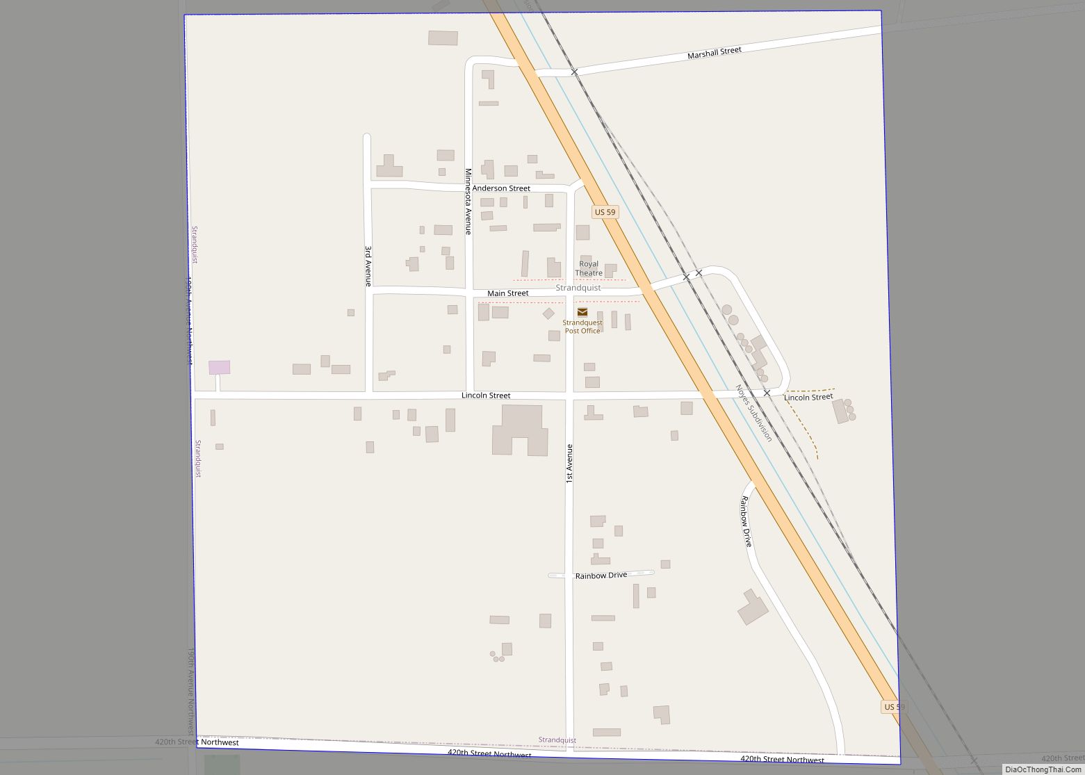
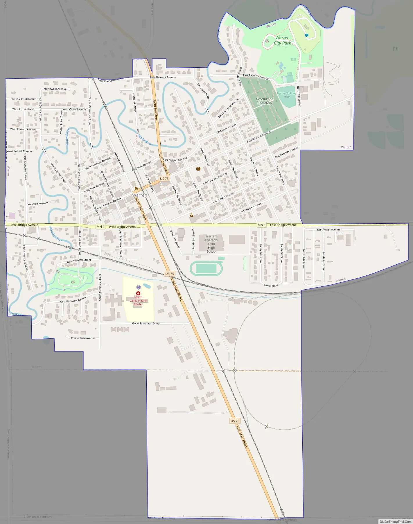
Online Interactive Map
Click on ![]() to view map in "full screen" mode.
to view map in "full screen" mode.
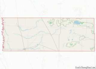
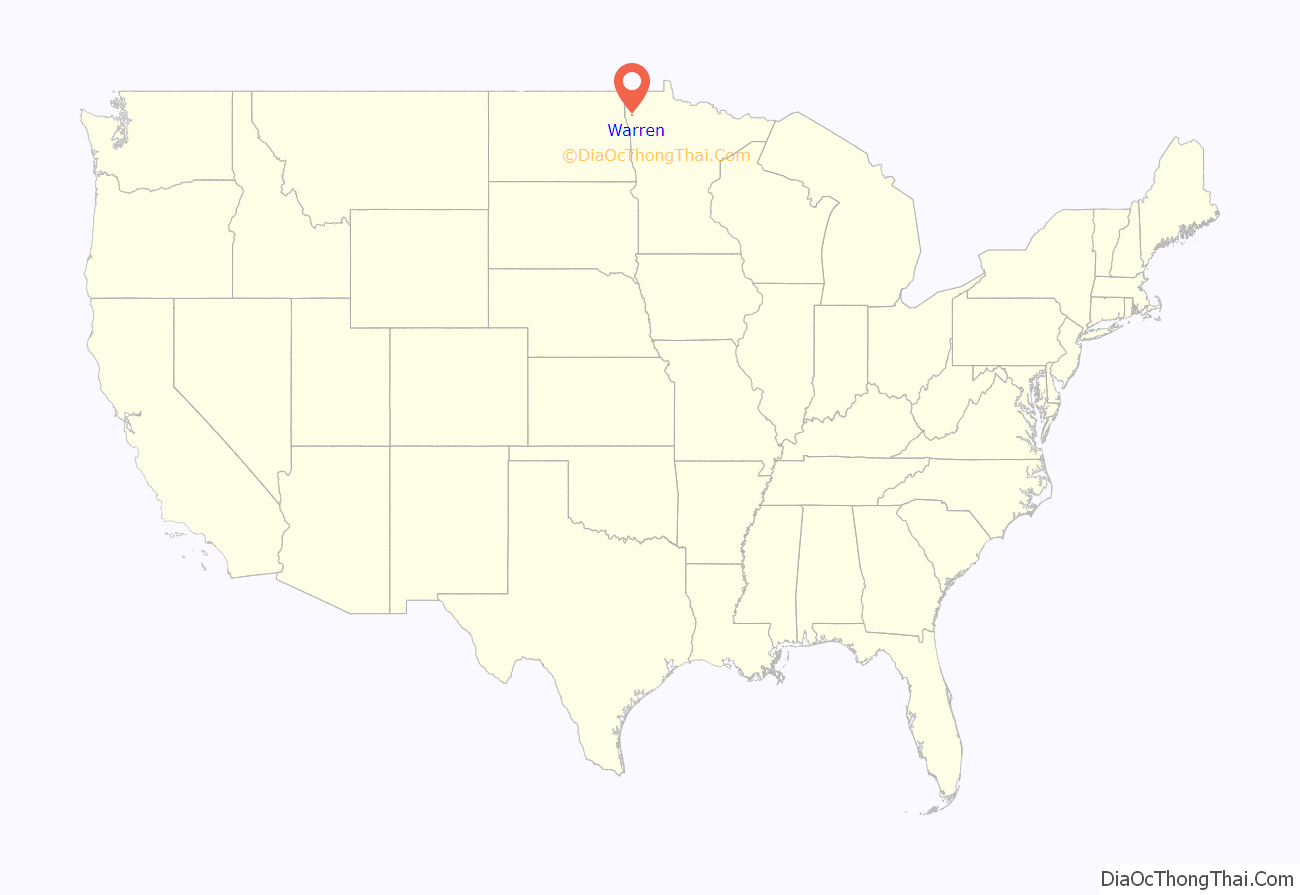
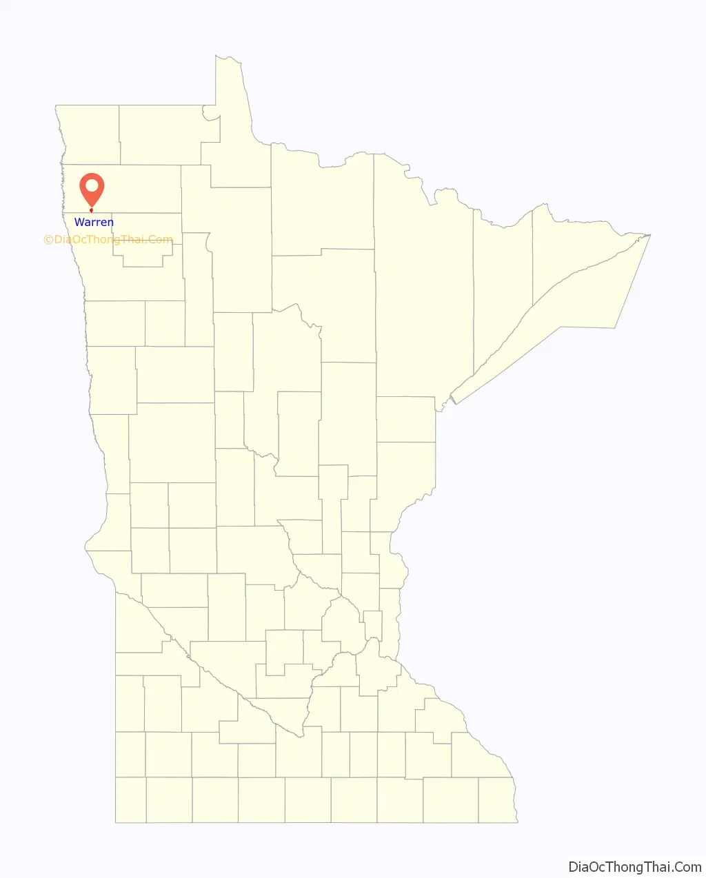
Warren location map. Where is Warren city?
History
Warren was platted in 1879, and named for Charles H. Warren, a railroad official. A post office has been in operation at Warren since 1880.
Although several times larger than the next largest city in the county, Warren’s prominence as the county seat has been threatened several times in its history. The original plan for the Soo Line Railroad (completed in 1905) branch line that passes through Warren called for it to run from Thief River Falls to Argyle and then west. Argyle interests hoped the establishment of a railroad junction there would lead to the removal of the county seat from Warren to Argyle. Other interests prevailed, although the railroad line forms a parabola extending north from Thief River Falls, and then south to Warren, as if the plan changed while the line was being built. In 1974, citizens of the eastern part of the county, noting Warren’s location in the western quarter of the long county, and very nearly at its southern boundary, petitioned twice for the relocation of the county seat to Newfolden. Neither effort that year resulted in the question being put on the ballot, and in fact, voters in the interim had approved the construction of an addition to the courthouse in Warren.
Warren was featured on a 2006 episode of the History Channel’s UFO Files episode “Alien Encounters.” The unsolved case of a mysterious object impacting a county sheriff’s car on August 27, 1979 was featured (see Val Johnson Incident). This same case was also featured in 2012 on the Travel Channel’s Mysteries at the Museum episode “MGM Fire; UFO Car, Prophecy Sword”
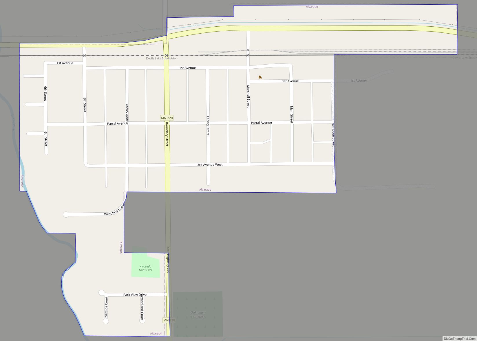
Warren Road Map
Warren city Satellite Map

Geography
According to the United States Census Bureau, the city has a total area of 1.44 square miles (3.73 km), all land. The Snake River flows in serpentine fashion through the city (hence its name), and both banks are developed, which has proved problematic as the city attempts flood control. Some major floods in the city’s history took place in 1896 (twice), 1969, 1974, 1979, 1996 (twice), and 1997.
The streets of the original townsite of Warren are laid out on a grid parallel and perpendicular to the Burlington Northern Santa Fe Railroad. Some newer additions, particularly those south of Bridge Street (Minnesota Highway 1) are laid out on a conventional north-south grid. The BNSF is the dividing line for the street system east and west, and Bridge Street is the dividing line north and south.
U.S. Highway 75 and Minnesota State Highway 1 are two of the main routes in the city.
Climate
See also
Map of Minnesota State and its subdivision:- Aitkin
- Anoka
- Becker
- Beltrami
- Benton
- Big Stone
- Blue Earth
- Brown
- Carlton
- Carver
- Cass
- Chippewa
- Chisago
- Clay
- Clearwater
- Cook
- Cottonwood
- Crow Wing
- Dakota
- Dodge
- Douglas
- Faribault
- Fillmore
- Freeborn
- Goodhue
- Grant
- Hennepin
- Houston
- Hubbard
- Isanti
- Itasca
- Jackson
- Kanabec
- Kandiyohi
- Kittson
- Koochiching
- Lac qui Parle
- Lake
- Lake of the Woods
- Lake Superior
- Le Sueur
- Lincoln
- Lyon
- Mahnomen
- Marshall
- Martin
- McLeod
- Meeker
- Mille Lacs
- Morrison
- Mower
- Murray
- Nicollet
- Nobles
- Norman
- Olmsted
- Otter Tail
- Pennington
- Pine
- Pipestone
- Polk
- Pope
- Ramsey
- Red Lake
- Redwood
- Renville
- Rice
- Rock
- Roseau
- Saint Louis
- Scott
- Sherburne
- Sibley
- Stearns
- Steele
- Stevens
- Swift
- Todd
- Traverse
- Wabasha
- Wadena
- Waseca
- Washington
- Watonwan
- Wilkin
- Winona
- Wright
- Yellow Medicine
- Alabama
- Alaska
- Arizona
- Arkansas
- California
- Colorado
- Connecticut
- Delaware
- District of Columbia
- Florida
- Georgia
- Hawaii
- Idaho
- Illinois
- Indiana
- Iowa
- Kansas
- Kentucky
- Louisiana
- Maine
- Maryland
- Massachusetts
- Michigan
- Minnesota
- Mississippi
- Missouri
- Montana
- Nebraska
- Nevada
- New Hampshire
- New Jersey
- New Mexico
- New York
- North Carolina
- North Dakota
- Ohio
- Oklahoma
- Oregon
- Pennsylvania
- Rhode Island
- South Carolina
- South Dakota
- Tennessee
- Texas
- Utah
- Vermont
- Virginia
- Washington
- West Virginia
- Wisconsin
- Wyoming