Watford City (Hidatsa: abaʔaruʔush), founded in 1914, is a city in and the county seat of McKenzie County, North Dakota, United States. The population was 6,207 at the 2020 census, making it the thirteenth largest city in North Dakota. Because Watford City is part of the Bakken field, the North Dakota oil boom has significantly increased population and construction since the 2010 census.
The main offices of Frontier Energy Group, First International Bank, and the headquarters of McKenzie Electric Cooperative are in Watford City. The local newspaper is the McKenzie County Farmer.
| Name: | Watford City city |
|---|---|
| LSAD Code: | 25 |
| LSAD Description: | city (suffix) |
| State: | North Dakota |
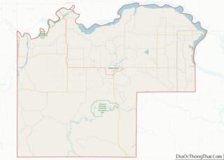
| County: | McKenzie County |
| Founded: | 1914 |
| Elevation: | 2,119 ft (646 m) |
| Total Area: | 9.06 sq mi (23.46 km²) |
| Land Area: | 8.98 sq mi (23.25 km²) |
| Water Area: | 0.08 sq mi (0.20 km²) |
| Total Population: | 6,207 |
| Population Density: | 691.43/sq mi (266.97/km²) |
| ZIP code: | 58854 |
| Area code: | 701 |
| FIPS code: | 3883860 |
| GNISfeature ID: | 1032701 |
| Website: | CityofWatfordCity.com |
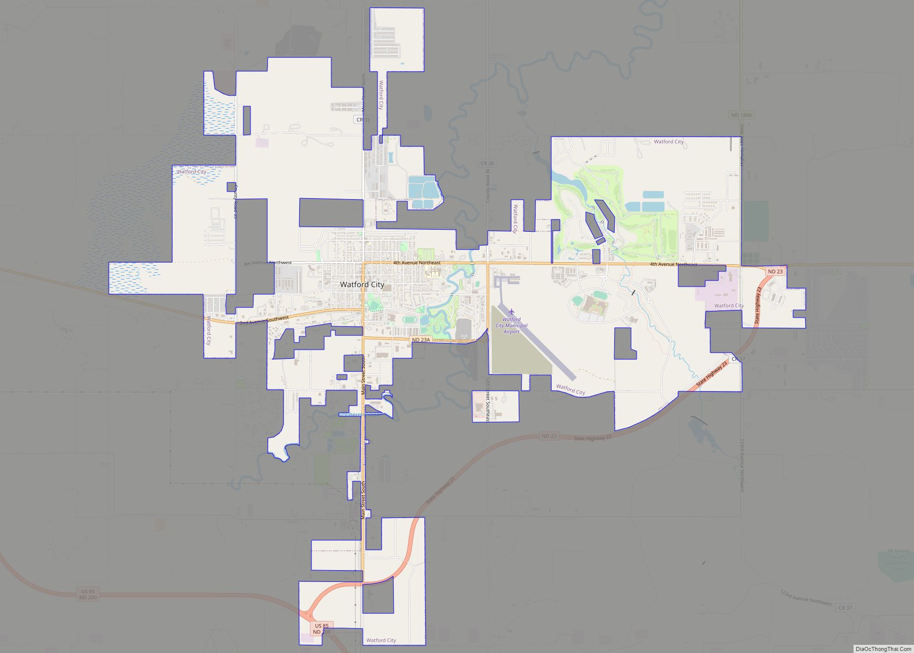
Online Interactive Map
Click on ![]() to view map in "full screen" mode.
to view map in "full screen" mode.
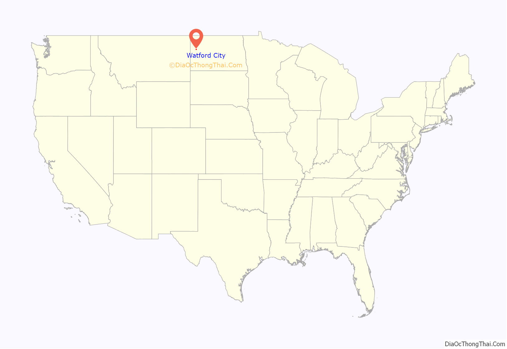
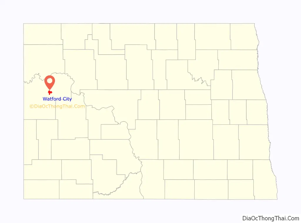
Watford City location map. Where is Watford City city?
History
In 1913, a few prospective businessmen located on the townsite of the future Watford City in anticipation of the arrival of the first Great Northern Railroad train. The Northern Land and Townsite Company, a division of the Great Northern, platted the town and sold lots in June 1914. Building began immediately, and many businesses and homes were moved from Schafer, which eventually became a ghost town. Watford was incorporated in June 1915, and was named by Vaughan G. Morris (1879–1940) for his hometown of Watford, Ontario. A year later the town added “City” to its name to differentiate itself from Wolford in Pierce County.
The Great Northern planned to extend its line to New Rockford and in 1914 began building the “Madson Grade,” one of the longest dirt filled railroad grades in the country about a mile west of town. Two years later the grade was ninety feet high and nearly a mile long, but the project was abandoned shortly before the United States entered World War I.
Village officers were elected in 1915, and they concerned themselves with such tasks as impounding stray horses and cattle, prohibiting swine and chickens from town, locating hitching posts, and removing hay stacks from Main Street. The town had a band and baseball team from its founding. A school and several churches were also constructed almost immediately. During the Great Depression, a water and sanitary system was completed using labor mostly paid by the Public Works Administration.
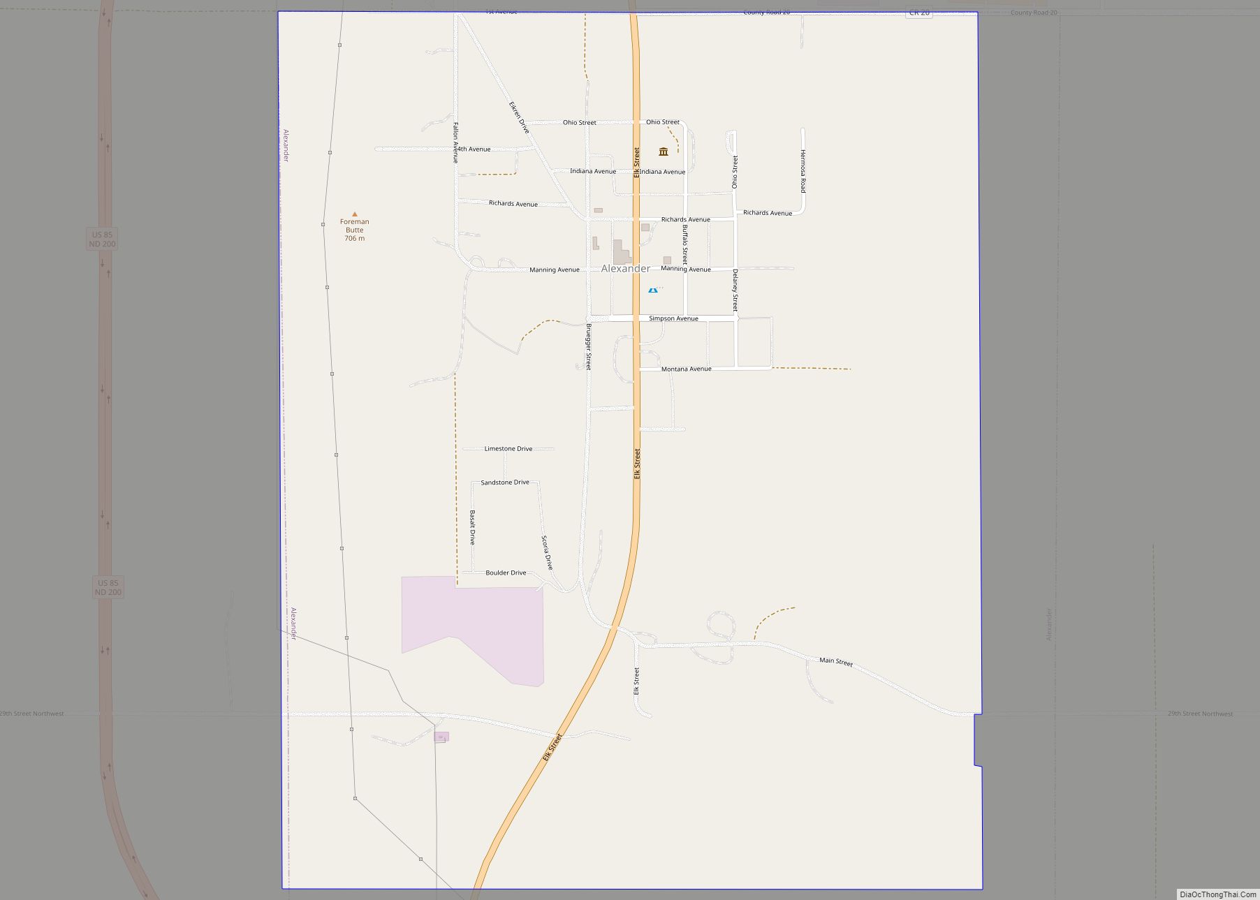
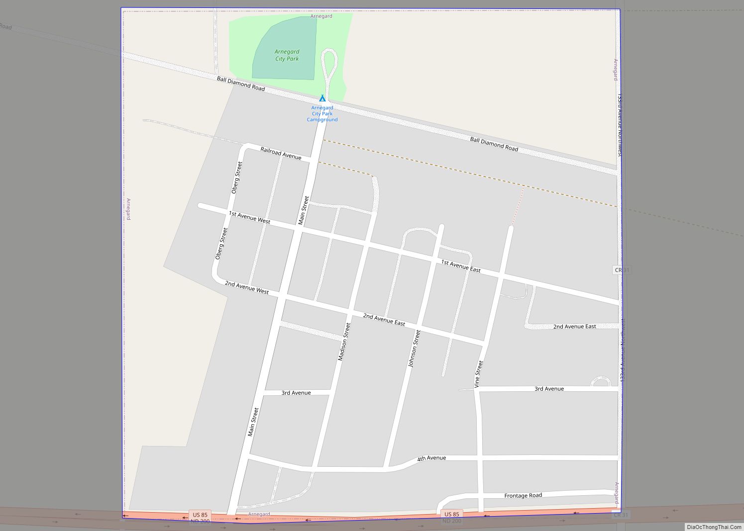
In 1940, Watford City won a hotly contested campaign for county seat, defeating Alexander and Arnegard and taking the prize from Schafer. At first there was difficulty finding suitable office space, and a recently constructed hospital was sold to the county for use as a courthouse. A new hospital was dedicated in 1952. Watford City Air Force Station (formally Alexander) was opened nearby in 1979.
Watford City Road Map
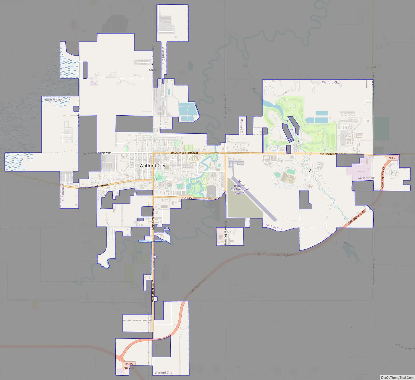
Watford City city Satellite Map

Geography
Watford City is located at 47°48′9″N 103°16′50″W / 47.80250°N 103.28056°W / 47.80250; -103.28056 (47.802603, −103.280505).
According to the United States Census Bureau, the city has a total area of 1.41 square miles (3.65 km), of which 1.40 square miles (3.63 km) is land and 0.01 square miles (0.03 km) is water.
See also
Map of North Dakota State and its subdivision:- Adams
- Barnes
- Benson
- Billings
- Bottineau
- Bowman
- Burke
- Burleigh
- Cass
- Cavalier
- Dickey
- Divide
- Dunn
- Eddy
- Emmons
- Foster
- Golden Valley
- Grand Forks
- Grant
- Griggs
- Hettinger
- Kidder
- Lamoure
- Logan
- McHenry
- McIntosh
- McKenzie
- McLean
- Mercer
- Morton
- Mountrail
- Nelson
- Oliver
- Pembina
- Pierce
- Ramsey
- Ransom
- Renville
- Richland
- Rolette
- Sargent
- Sheridan
- Sioux
- Slope
- Stark
- Steele
- Stutsman
- Towner
- Traill
- Walsh
- Ward
- Wells
- Williams
- Alabama
- Alaska
- Arizona
- Arkansas
- California
- Colorado
- Connecticut
- Delaware
- District of Columbia
- Florida
- Georgia
- Hawaii
- Idaho
- Illinois
- Indiana
- Iowa
- Kansas
- Kentucky
- Louisiana
- Maine
- Maryland
- Massachusetts
- Michigan
- Minnesota
- Mississippi
- Missouri
- Montana
- Nebraska
- Nevada
- New Hampshire
- New Jersey
- New Mexico
- New York
- North Carolina
- North Dakota
- Ohio
- Oklahoma
- Oregon
- Pennsylvania
- Rhode Island
- South Carolina
- South Dakota
- Tennessee
- Texas
- Utah
- Vermont
- Virginia
- Washington
- West Virginia
- Wisconsin
- Wyoming