Meigs County is a county located in the U.S. state of Tennessee. As of the 2020 census, the population was 12,758. Its county seat is Decatur.
| Name: | Meigs County |
|---|---|
| FIPS code: | 47-121 |
| State: | Tennessee |
| Founded: | 1836 |
| Named for: | Return J. Meigs |
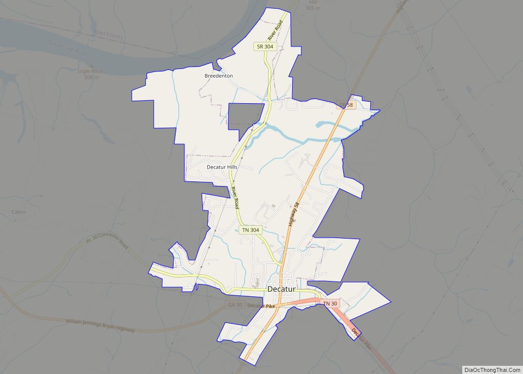
| Seat: | Decatur |
| Largest town: | Decatur |
| Total Area: | 217 sq mi (560 km²) |
| Land Area: | 195 sq mi (510 km²) |
| Total Population: | 12,758 |
| Population Density: | 60/sq mi (20/km²) |
| Time zone: | UTC−5 (Eastern) |
| Summer Time Zone (DST): | UTC−4 (EDT) |
| Website: | www.meigscounty.org |
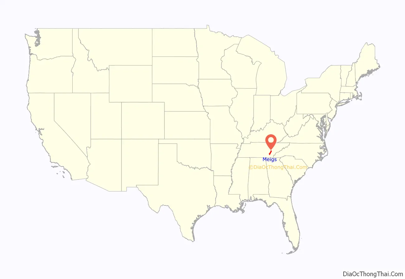
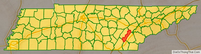
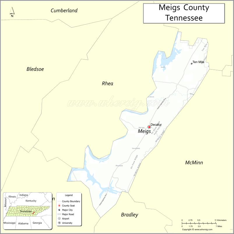
Meigs County location map. Where is Meigs County?
History
Before 1819, the area that is now Meigs County was part of the Cherokee nation. It had been occupied for thousands of years by succeeding cultures of indigenous peoples. European trades had interacted with the Cherokee since the late 17th century, coming from colonial settlements in Virginia and South Carolina.
Especially following the American Revolutionary War, land-hungry European-American settlers began to enter this territory in greater number. They established ferries across the Tennessee River from Rhea County as early as 1807. Colonel Return J. Meigs, a Revolutionary veteran and namesake for the county, was appointed as the United States Indian agent, based in Rhea County until 1817. He supervised trade with the Cherokee. That year, the agency was moved to an area in what is now Meigs County.
In 1819, the US made what is known as the Calhoun Treaty with the Cherokee, forcing them to cede lands north of the Hiwassee River for European-American settlement. Meigs County was formed by the Tennessee legislature in 1836 from parts of Rhea County.
In 1830 Congress passed the Indian Removal Act, and the US started forcibly removing the Five Civilized Tribes from the Southeast. The Cherokee were the last to go. They were gathered in internment camps in Tennessee and Alabama before being forced on the long overland journey to Indian Territory, known as the “Trail of Tears.” Many crossed the Tennessee River at Blythe Ferry, in the southwestern part of Meigs County.
In June 1861, at the outbreak of the Civil War, the people of Meigs County were among the few in East Tennessee to vote in favor of Tennessee’s Ordinance of Secession. The county voted 481 to 267 in favor of the Ordinance, which severed the state’s ties to the Union. The county provided troops for both sides during the course of the war.
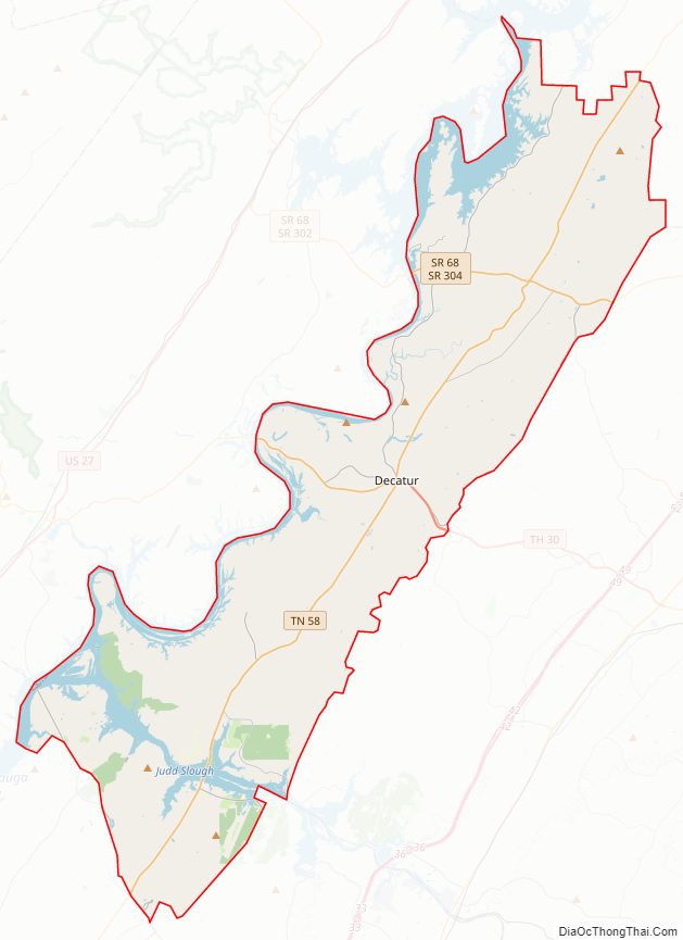
Meigs County Road Map
Geography
According to the U.S. Census Bureau, the county has a total area of 217 square miles (560 km), of which 195 square miles (510 km) is land and 22 square miles (57 km) (10%) is water.
The main geographic feature of Meigs County is the Tennessee River, which forms the county’s western boundary. Watts Bar Dam is located along the river between Meigs and adjacent Rhea County. Above it is the manmade Watts Bar Lake, which spans the river upstream to Fort Loudoun Dam just west of Knoxville. Watts Bar Dam’s tailwaters are part of Chickamauga Lake, which stretches downstream to Chickamauga Dam in Chattanooga. The mouth of the Hiwassee River flows into the Tennessee River at a point in southwestern Meigs County, near where Meigs, Rhea, and Hamilton counties meet.
Adjacent counties
- Roane County, Tennessee (north)
- McMinn County, Tennessee (east)
- Bradley County, Tennessee (southeast)
- Hamilton County, Tennessee (south)
- Rhea County, Tennessee (west)
State protected areas
- Chickamauga Wildlife Management Area (part)
- Hiwassee Refuge (part)
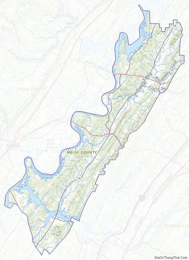
Meigs County Topographic Map
Meigs County Satellite Map
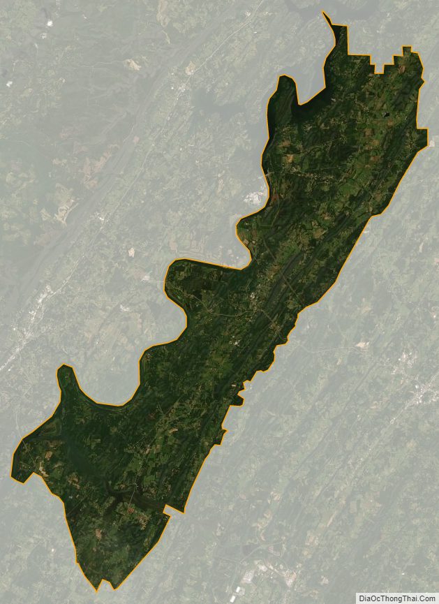
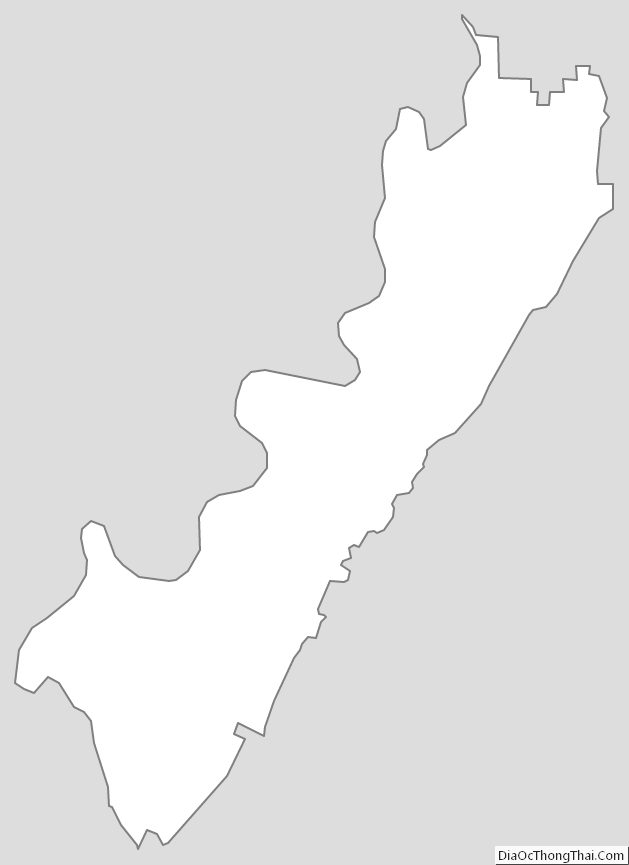
Meigs County Outline Map