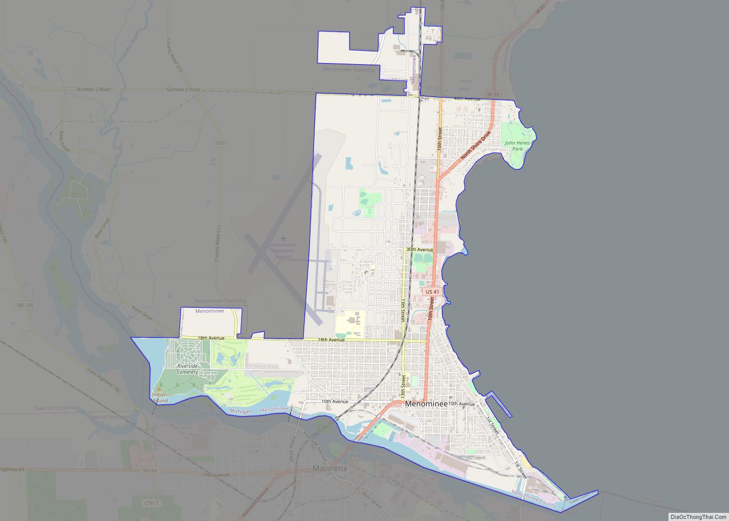
Menominee (/məˈnɒməni/ mə-NAH-mə-nee) is a city in the Upper Peninsula of the U.S. state of Michigan. The population was 8,599 at the 2010 census. It is the county seat of Menominee County. Menominee is the fourth-largest city in the Upper Peninsula, behind Marquette, Sault Ste. Marie, and Escanaba. Menominee Township is located to the north of the city, but is politically autonomous.
Menominee is part of the Marinette, WI–MI Micropolitan Statistical Area.
| Name: | Menominee city |
|---|---|
| LSAD Code: | 25 |
| LSAD Description: | city (suffix) |
| State: | Michigan |
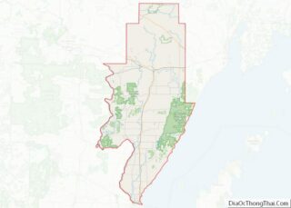
| County: | Menominee County |
| Elevation: | 594 ft (181 m) |
| Total Area: | 5.49 sq mi (14.22 km²) |
| Land Area: | 5.16 sq mi (13.37 km²) |
| Water Area: | 0.33 sq mi (0.85 km²) |
| Total Population: | 8,488 |
| Population Density: | 1,644.01/sq mi (634.74/km²) |
| Area code: | 906 |
| FIPS code: | 2653020 |
| GNISfeature ID: | 0632104 |
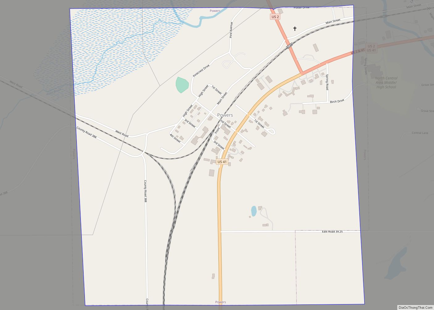
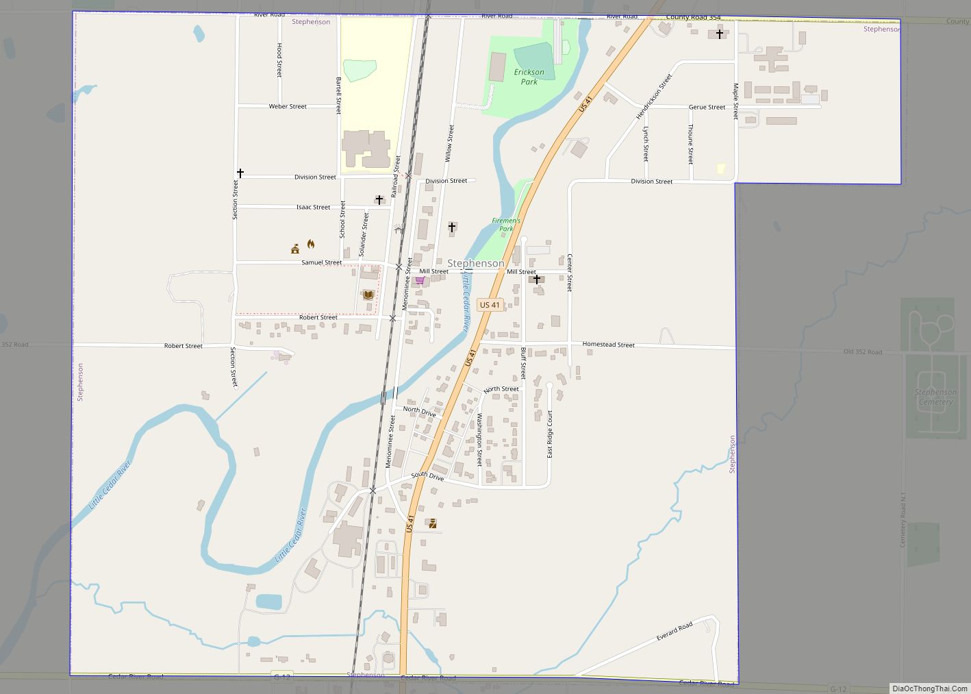
Online Interactive Map
Click on ![]() to view map in "full screen" mode.
to view map in "full screen" mode.
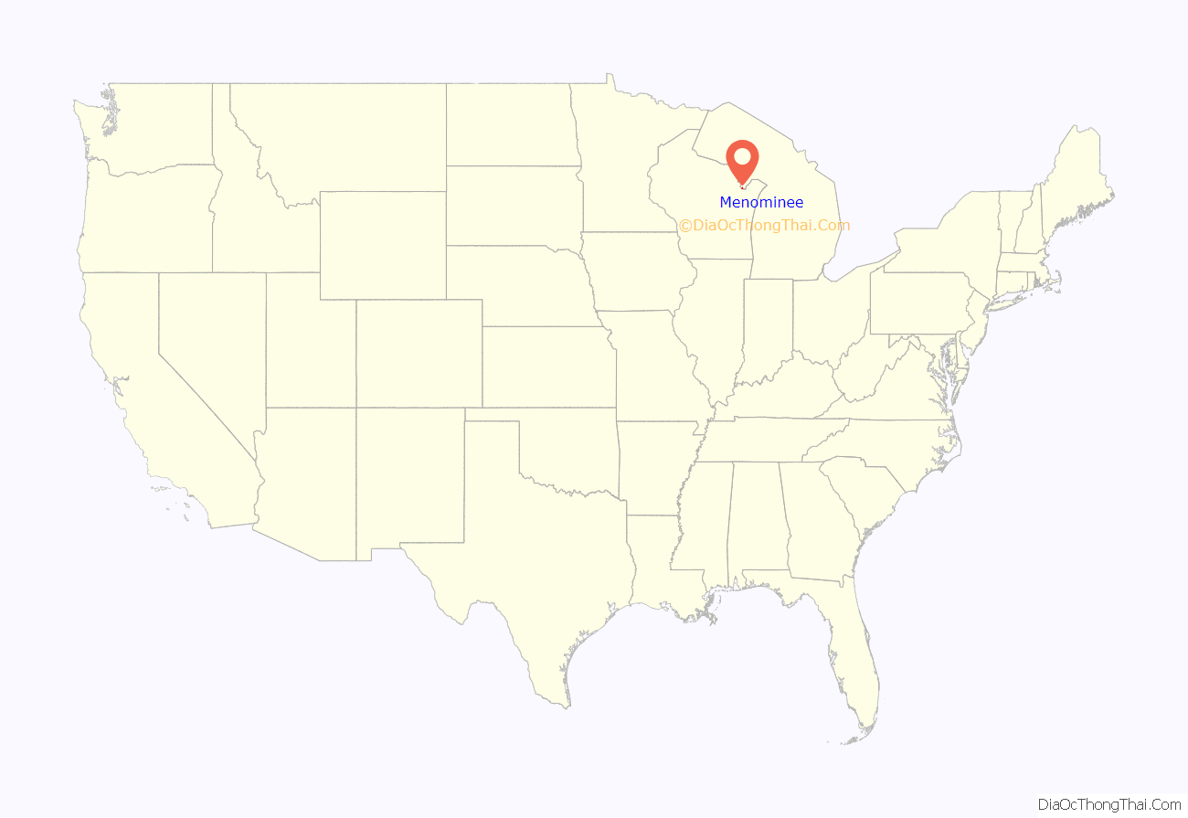
Menominee location map. Where is Menominee city?
History
In historic times, this area was the traditional territory of the Menominee Indian Tribe. The town of Menominee was named after their English name which roughly translates as “wild rice,” a nickname given to them by their Ojibwe neighbours based on their cultivation of wild rice as a staple food. In their own language, they are known as Mamaceqtaw which means simply “the people”, and the town of Menominee is known as Menīkāneh, which means “at the good village”. They were removed to west of the Mississippi River and now have a reservation along the Wolf River in North Central Wisconsin after ceding their territory to the United States in the 1836 Treaty of the Cedars.
Menominee gained prominence in the 19th century as a lumber town; in its heyday, it produced more lumber than any other city in the United States of America. During this time of prosperity, the Menominee Opera House was built. It is being restored. In the 1910s a cycle car, the “Dudly Bug”, was manufactured in Menominee. In the waning years of lumber production, local business interests, interested in diversifying Menominee’s manufacturing base, attracted inventor Marshall Burns Lloyd and his Minneapolis company Lloyd Manufacturing, which made wicker baby buggies. In 1917 Lloyd invented an automated process for weaving wicker and manufactured it as the Lloyd Loom. This machine process is still in use today. In the 21st century, the economy of Menominee is based on manufacturing (paper products, wicker lawn furniture, and auto supplies) and tourism.
In 1940, during the “Vote for Gracie” publicity stunt in which comedian Gracie Allen ran for president, she was nominated for mayor of Menominee, but was disqualified because she was not a resident of the city.
Sports
The Menominee Maroons won the state high school championship in its division for basketball in 1967 and football in 1998, 2006 and 2007. In the 2006 season the Maroons finished unbeaten and only allowed 38 points scored against them but their offense scored 513 point in that entire season . They beat the former Wisconsin and Minnesota Division One state champions. Menominee shares a historic high school football rivalry with neighbor Marinette, Wisconsin. The two have conducted the third-longest rivalry in the nation.
Menominee, like most good sized towns embraced the newly emerging 19th century sport of football. A local group took the name of North End Athletic Club and under Manager McPhaul, were the visiting opponent for the newly formed Green Bay team sponsored by the Indian Packing Co. led by the eventual legend Captain Curly Lambeau. The Indian Co. Packers of Green Bay defeated the N.E.A.C. Colts of Menominee 53–0 at Hagemeister Field.
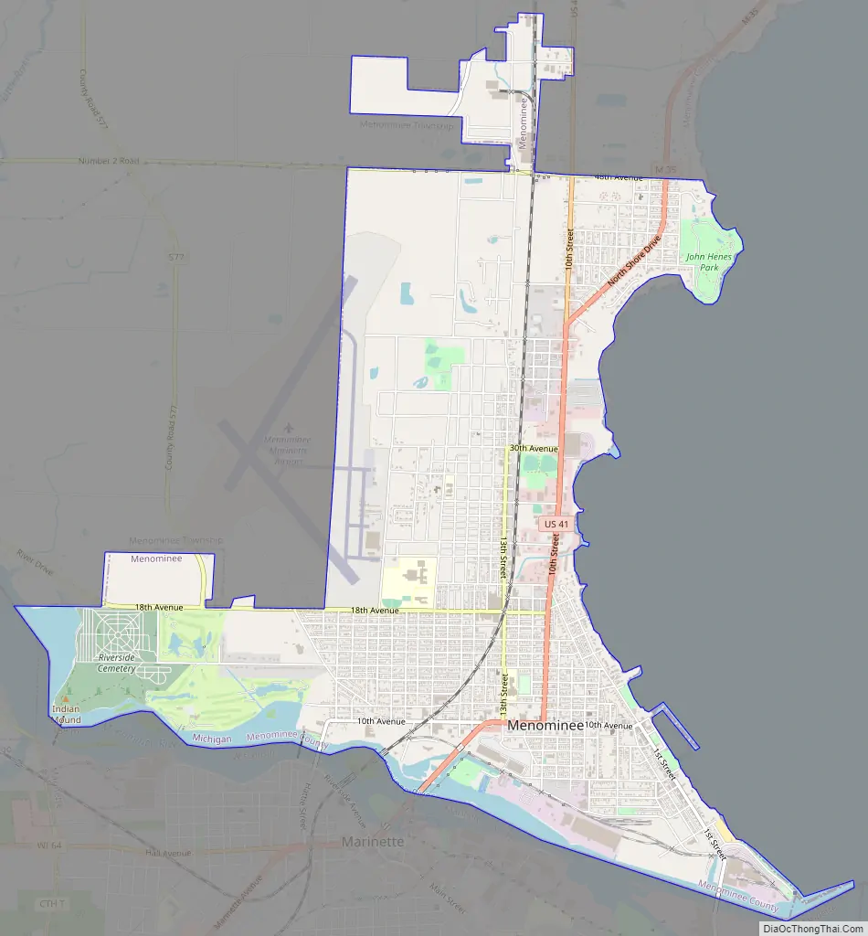
Menominee Road Map
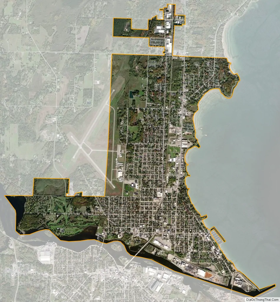
Menominee city Satellite Map
Geography
According to the United States Census Bureau, the city has a total area of 5.48 square miles (14.19 km), of which 5.15 square miles (13.34 km) is land and 0.33 square miles (0.85 km) is water. It is the southernmost city and location in Michigan’s Upper Peninsula.
Menominee has a cairn marking the halfway point between the North Pole and the Equator. This is slightly north of the 45th parallel north, due to the flattening of the earth at the poles. This is one of six Michigan sites and 29 places in the U.S.A. where such signs are known to exist.
Menominee, Michigan, is also the site of the Menominee Crack, an unusual geological feature that formed spontaneously in 2010.
Twin city with Marinette, Wisconsin
Menominee and Marinette, Wisconsin are sometimes described as “twin cities”.
Menominee shares a hospital, community foundation, newspaper and chamber of commerce with Marinette. Numerous city groups work together to benefit the entire two-city, two-county and two-state community.
Climate
This climatic region is typified by large seasonal temperature differences, with warm to hot (and often humid) summers and cold (sometimes severely cold) winters. According to the Köppen Climate Classification system, Menominee has a humid continental climate, abbreviated “Dfb” on climate maps.
See also
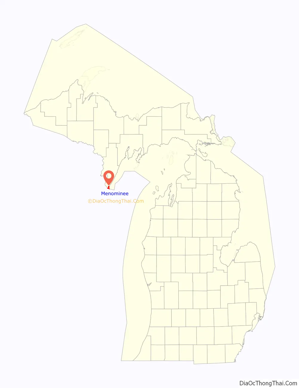
Map of Michigan State and its subdivision:- Alcona
- Alger
- Allegan
- Alpena
- Antrim
- Arenac
- Baraga
- Barry
- Bay
- Benzie
- Berrien
- Branch
- Calhoun
- Cass
- Charlevoix
- Cheboygan
- Chippewa
- Clare
- Clinton
- Crawford
- Delta
- Dickinson
- Eaton
- Emmet
- Genesee
- Gladwin
- Gogebic
- Grand Traverse
- Gratiot
- Hillsdale
- Houghton
- Huron
- Ingham
- Ionia
- Iosco
- Iron
- Isabella
- Jackson
- Kalamazoo
- Kalkaska
- Kent
- Keweenaw
- Lake
- Lake Hurron
- Lake Michigan
- Lake St. Clair
- Lake Superior
- Lapeer
- Leelanau
- Lenawee
- Livingston
- Luce
- Mackinac
- Macomb
- Manistee
- Marquette
- Mason
- Mecosta
- Menominee
- Midland
- Missaukee
- Monroe
- Montcalm
- Montmorency
- Muskegon
- Newaygo
- Oakland
- Oceana
- Ogemaw
- Ontonagon
- Osceola
- Oscoda
- Otsego
- Ottawa
- Presque Isle
- Roscommon
- Saginaw
- Saint Clair
- Saint Joseph
- Sanilac
- Schoolcraft
- Shiawassee
- Tuscola
- Van Buren
- Washtenaw
- Wayne
- Wexford
- Alabama
- Alaska
- Arizona
- Arkansas
- California
- Colorado
- Connecticut
- Delaware
- District of Columbia
- Florida
- Georgia
- Hawaii
- Idaho
- Illinois
- Indiana
- Iowa
- Kansas
- Kentucky
- Louisiana
- Maine
- Maryland
- Massachusetts
- Michigan
- Minnesota
- Mississippi
- Missouri
- Montana
- Nebraska
- Nevada
- New Hampshire
- New Jersey
- New Mexico
- New York
- North Carolina
- North Dakota
- Ohio
- Oklahoma
- Oregon
- Pennsylvania
- Rhode Island
- South Carolina
- South Dakota
- Tennessee
- Texas
- Utah
- Vermont
- Virginia
- Washington
- West Virginia
- Wisconsin
- Wyoming