Hermitage is a city in western Mercer County, Pennsylvania, United States. The population was 16,230 at the 2020 census, making it the largest city in Mercer County. Hermitage is located about 15 miles (24 km) northeast of Youngstown, about 65 miles (105 km) southeast of Cleveland and about 60 miles (97 km) northwest of Pittsburgh. It is part of the Youngstown–Warren metropolitan area.
| Name: | Hermitage city |
|---|---|
| LSAD Code: | 25 |
| LSAD Description: | city (suffix) |
| State: | Pennsylvania |
| County: | Mercer County |
| Total Area: | 29.56 sq mi (76.56 km²) |
| Land Area: | 29.46 sq mi (76.30 km²) |
| Water Area: | 0.10 sq mi (0.26 km²) |
| Total Population: | 16,230 |
| Population Density: | 550.92/sq mi (212.71/km²) |
| Area code: | 724 |
| FIPS code: | 4234064 |
| Website: | www.hermitage.net |
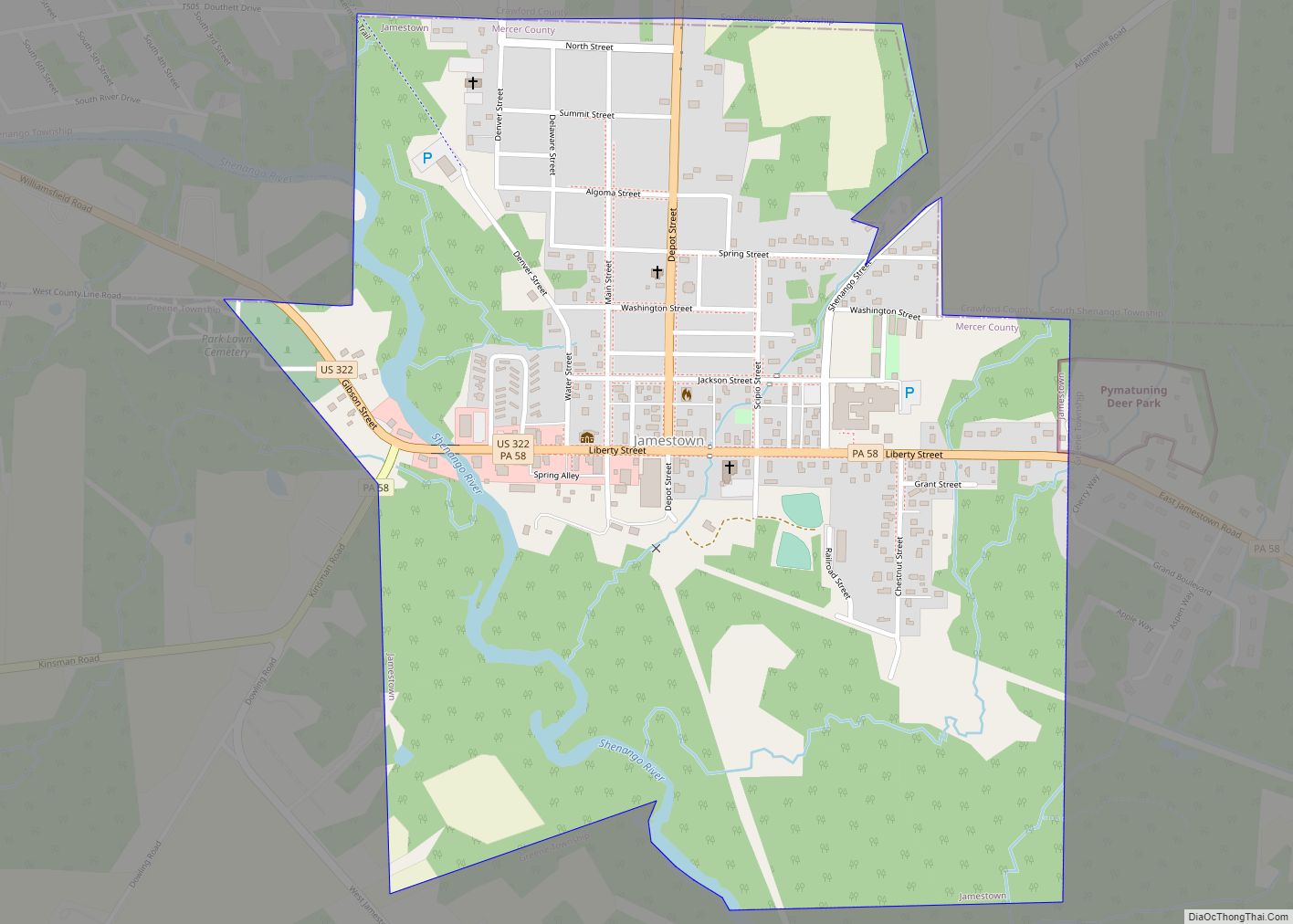
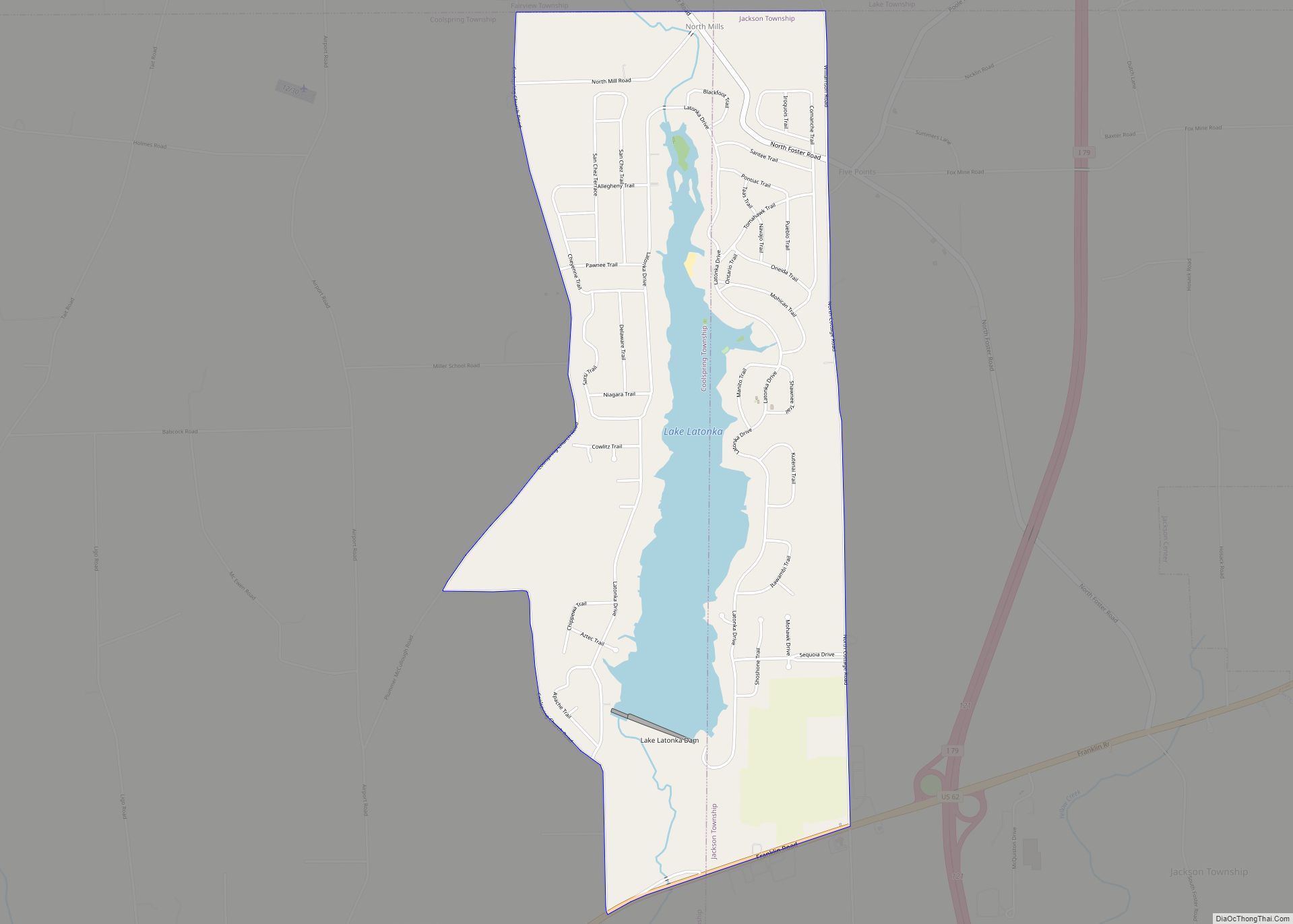
Online Interactive Map
Click on ![]() to view map in "full screen" mode.
to view map in "full screen" mode.
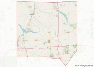
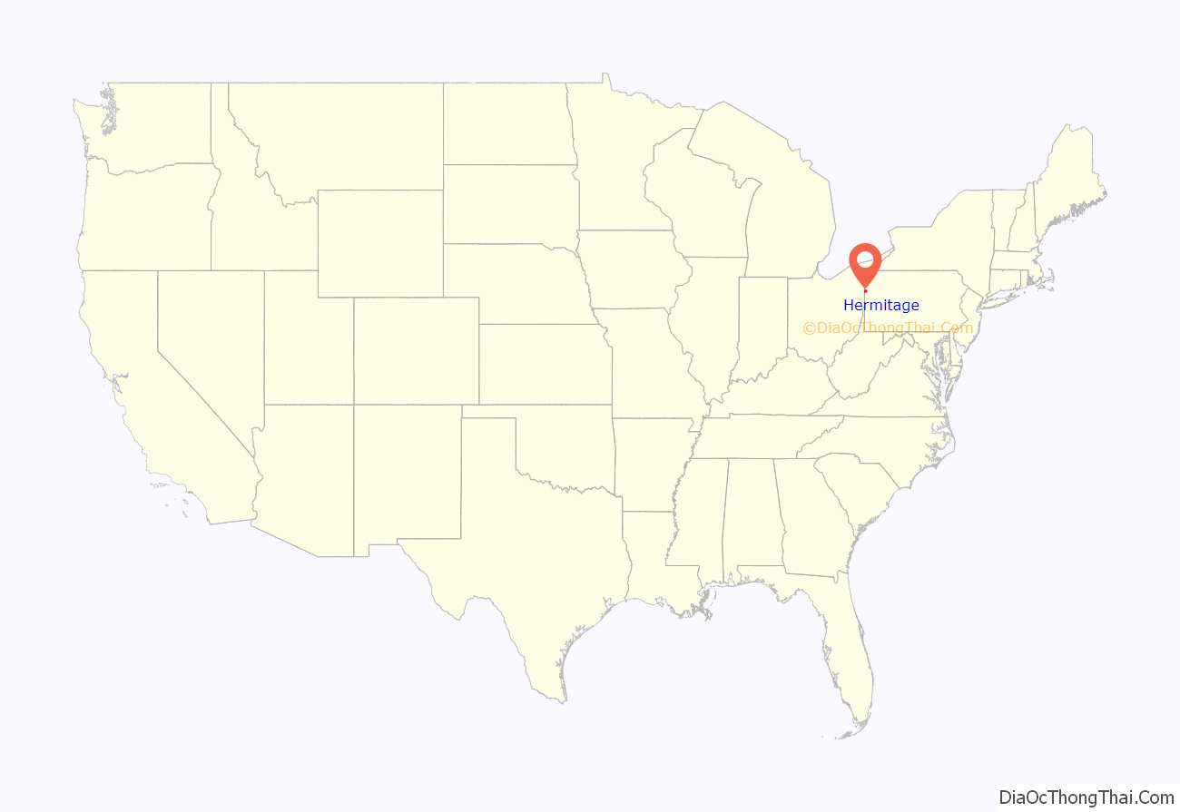
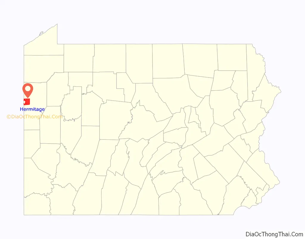
Hermitage location map. Where is Hermitage city?
History
Formerly known as Hickory Township (hence Hickory High School with its Hickory Hornet mascot), the City of Hermitage, in Mercer County, Pennsylvania, was first settled in 1796, and the Township of Hickory was incorporated in 1832 from portions of the Shenango and Pymatuning townships. Following the incorporation of the cities of Sharon and Farrell and the boroughs of Sharpsville and Wheatland, the remainder of the Township was incorporated into a first class township.
The Home Rule Charter and Optional Plans Law, Act 62 of 1972, provided all local governments in Pennsylvania a unique opportunity of true “home rule” On August 9, 1972, Ordinance 13–72 was enacted by the Board of Commissioners, providing for a referendum on electing a Governmental Study Commission of nine members. On November 17, 1972, the electors voted in favor of a commission and selected nine members with the task of studying present Township government and the alternative of an Optional Plan of Government or a Home Rule Charter.
On March 13, 1974, the final report of the Government Study Commission recommended a Home Rule Charter, which was approved on May 21, 1974, by a vote of 1,375 to 546. The Charter was to become effective on January 1, 1976.
A resolution of April 9, 1975 stated the Board of Commissioners’ intent to start an informal campaign to consider the possibility of a name change for the Township. A survey was conducted to determine possible names. In July, 1975, the Commissioners petitioned to the Court of Common Pleas of Mercer County pursuant to the Act of June 14, 1957, P.L. 330. The petition contained almost double the signature requirement of ten percent of the registered electors of the Township. The questions to be placed on the ballot were whether the name of the Township should be changed, and if so, which name: “Hermitage,” “Mount Hickory,” “Hickory Hills.”
On November 4, 1975, the voters approved, by 2986 to 695, a change in name, and selected “Hermitage”. The President Judge of Mercer County Court of Common Pleas issued an order on December 11, 1975, decreeing that the name of the Township of Hickory shall be changed to Hermitage, Pennsylvania, effective January 2, 1976.
On November 8, 1983, the voters approved, by 1971 to 1846, classification of the Township of Hermitage to the City of Hermitage. Hermitage became a third class city on January 1, 1984.
On May 31, 1985 Hermitage was struck by an F5 tornado that killed 18 people and injured 310. It was the strongest tornado ever recorded in Pennsylvania. On May 31, 2015, the 30th anniversary of the F5, an EF0 tornado touched down in the southern part of town. It flipped two cars, damaged the canopy at a Sheetz gas station and downed a few trees and branches.
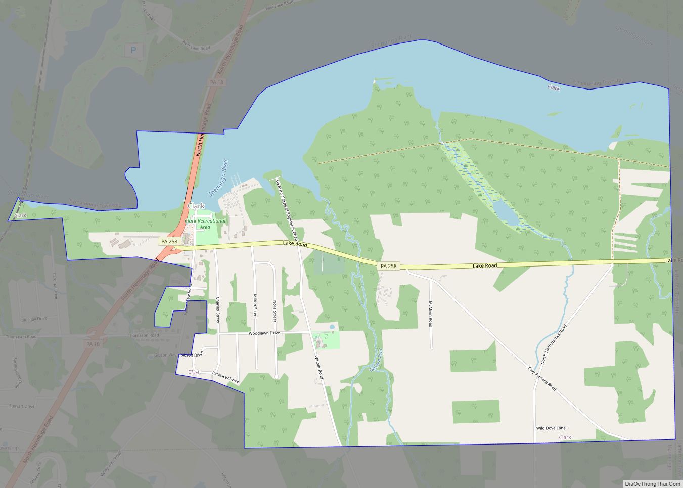
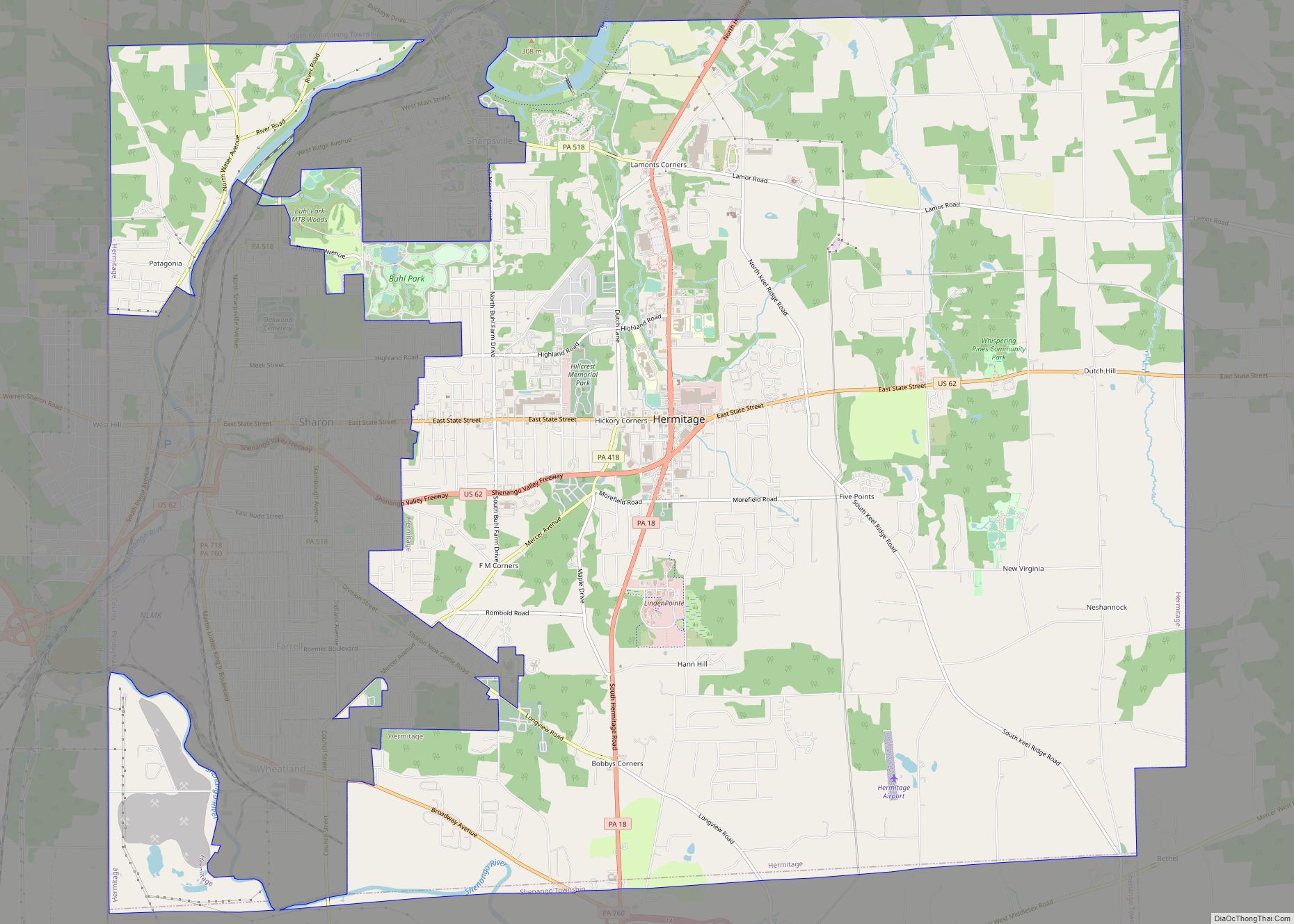
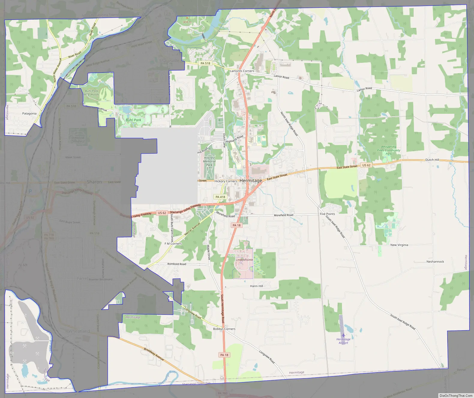
Hermitage Road Map
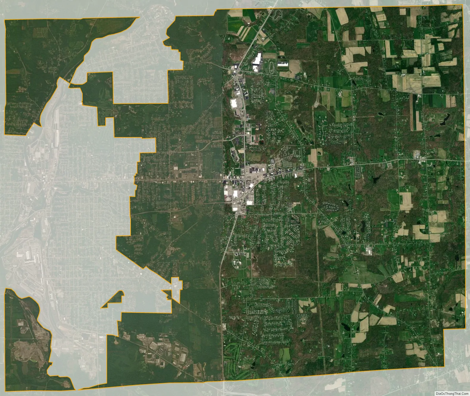
Hermitage city Satellite Map
Geography
Hermitage is located at 41°13′57″N 80°27′38″W / 41.23250°N 80.46056°W / 41.23250; -80.46056 (41.232456, −80.460464).
According to the United States Census Bureau, the city has a total area of 29.6 square miles (77 km), of which 29.5 square miles (76 km) is land and 0.1 square miles (0.26 km) (0.37%) is water. Based on area, Hermitage is the third largest city in Pennsylvania.
The Shenango River Lake north of Hermitage is run by the US Army Corps of Engineers.
See also
Map of Pennsylvania State and its subdivision:- Adams
- Allegheny
- Armstrong
- Beaver
- Bedford
- Berks
- Blair
- Bradford
- Bucks
- Butler
- Cambria
- Cameron
- Carbon
- Centre
- Chester
- Clarion
- Clearfield
- Clinton
- Columbia
- Crawford
- Cumberland
- Dauphin
- Delaware
- Elk
- Erie
- Fayette
- Forest
- Franklin
- Fulton
- Greene
- Huntingdon
- Indiana
- Jefferson
- Juniata
- Lackawanna
- Lancaster
- Lawrence
- Lebanon
- Lehigh
- Luzerne
- Lycoming
- Mc Kean
- Mercer
- Mifflin
- Monroe
- Montgomery
- Montour
- Northampton
- Northumberland
- Perry
- Philadelphia
- Pike
- Potter
- Schuylkill
- Snyder
- Somerset
- Sullivan
- Susquehanna
- Tioga
- Union
- Venango
- Warren
- Washington
- Wayne
- Westmoreland
- Wyoming
- York
- Alabama
- Alaska
- Arizona
- Arkansas
- California
- Colorado
- Connecticut
- Delaware
- District of Columbia
- Florida
- Georgia
- Hawaii
- Idaho
- Illinois
- Indiana
- Iowa
- Kansas
- Kentucky
- Louisiana
- Maine
- Maryland
- Massachusetts
- Michigan
- Minnesota
- Mississippi
- Missouri
- Montana
- Nebraska
- Nevada
- New Hampshire
- New Jersey
- New Mexico
- New York
- North Carolina
- North Dakota
- Ohio
- Oklahoma
- Oregon
- Pennsylvania
- Rhode Island
- South Carolina
- South Dakota
- Tennessee
- Texas
- Utah
- Vermont
- Virginia
- Washington
- West Virginia
- Wisconsin
- Wyoming