| Name: | Mineral County |
|---|---|
| FIPS code: | 32-021 |
| State: | Nevada |
| Founded: | 1911 |
| Named for: | Mineral |
| Seat: | Hawthorne |
| Total Area: | 3,813 sq mi (9,880 km²) |
| Land Area: | 3,753 sq mi (9,720 km²) |
| Total Population: | 4,554 |
| Population Density: | 1.2/sq mi (0.46/km²) |
| Time zone: | UTC−8 (Pacific) |
| Summer Time Zone (DST): | UTC−7 (PDT) |
| Website: | mineralcountynv.us |
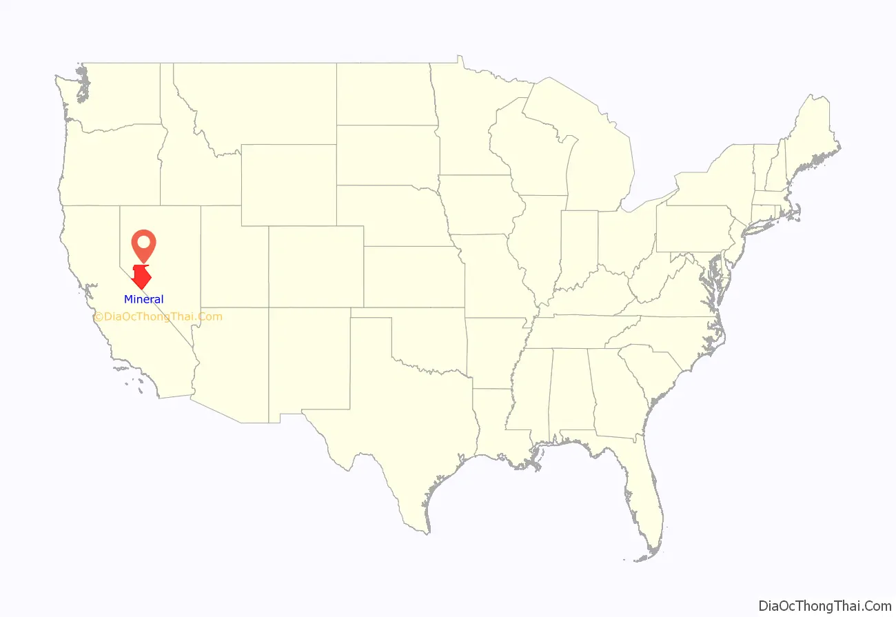
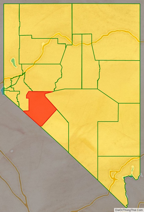
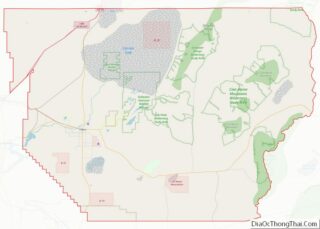
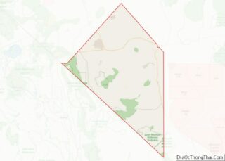
Mineral County location map. Where is Mineral County?
History
Mineral County was carved out of Esmeralda County in 1911 shortly after the county seat of Esmeralda was moved to Goldfield in 1907. Its name came from the surrounding area, which is heavily mineralized. Hawthorne has always been its county seat. The county is listed as Nevada Historical Marker 16. The marker is located on U.S. Highway 95 at Walker Lake.
Mineral County Road Map
Geography
According to the U.S. Census Bureau, the county has a total area of 3,813 square miles (9,880 km), of which 3,753 square miles (9,720 km) is land and 60 square miles (160 km) (1.6%) is water. The highest point in Mineral County is Mount Grant at 11,285 ft (3,440 m).
Major highways
- Interstate 11 (Future)
- U.S. Route 6
- U.S. Route 95
U.S. Route 95 Alternate
U.S. Route 95 Truck (Hawthorne)- State Route 359
- State Route 360
- State Route 361
Adjacent counties
- Lyon County – northwest
- Churchill County – north
- Nye County – northeast
- Esmeralda County – southeast
- Mono County, California – southwest
National protected areas
- Inyo National Forest (part)
- Toiyabe National Forest (part)
