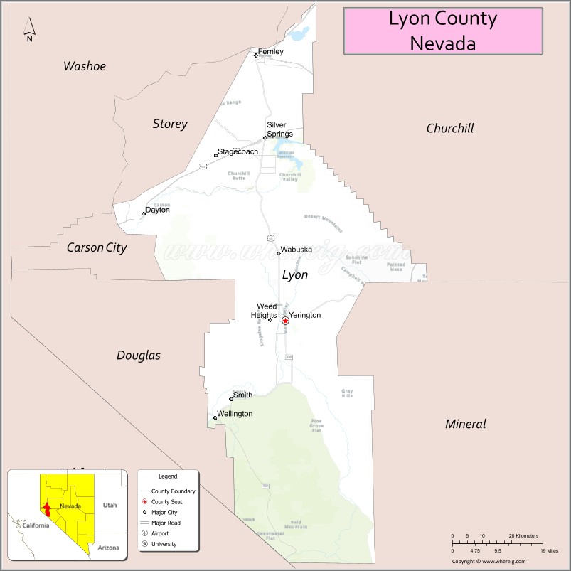
| Name: | Lyon County |
|---|---|
| FIPS code: | 32-019 |
| State: | Nevada |
| Founded: | 1861 |
| Named for: | Nathaniel Lyon |
| Seat: | Yerington |
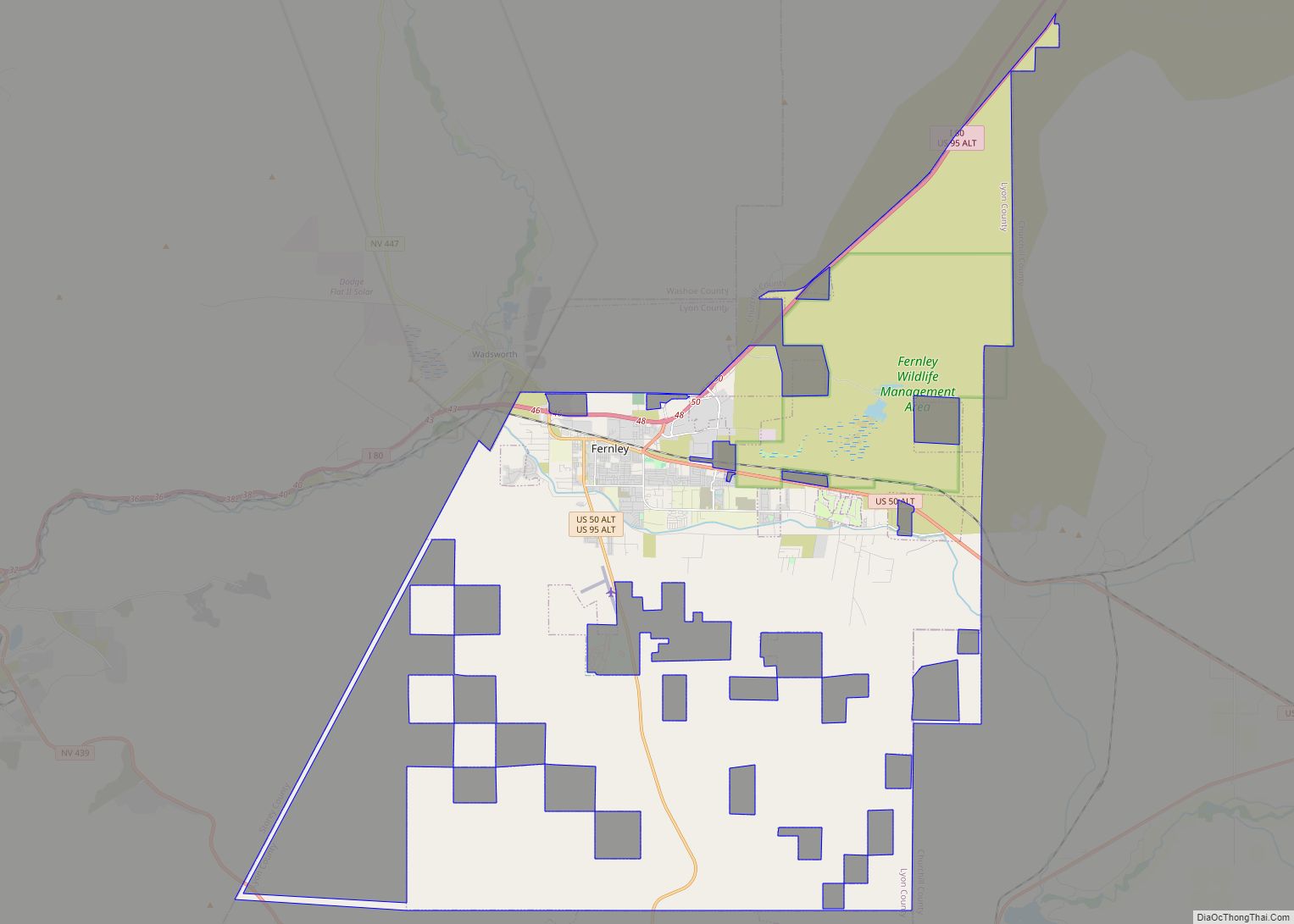
| Largest city: | Fernley |
| Total Area: | 2,024 sq mi (5,240 km²) |
| Land Area: | 2,001 sq mi (5,180 km²) |
| Total Population: | 59,235 |
| Population Density: | 29/sq mi (11/km²) |
| Time zone: | UTC−8 (Pacific) |
| Summer Time Zone (DST): | UTC−7 (PDT) |
| Website: | lyon-county.org |
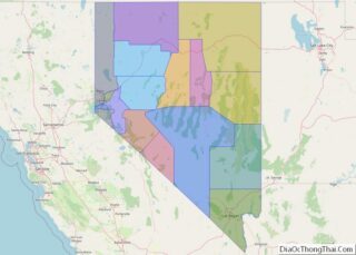
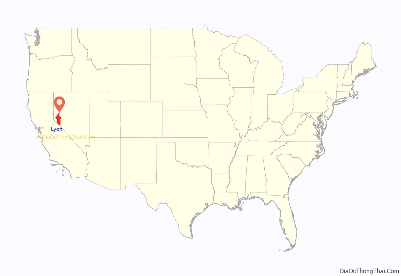
Lyon County location map. Where is Lyon County?
History
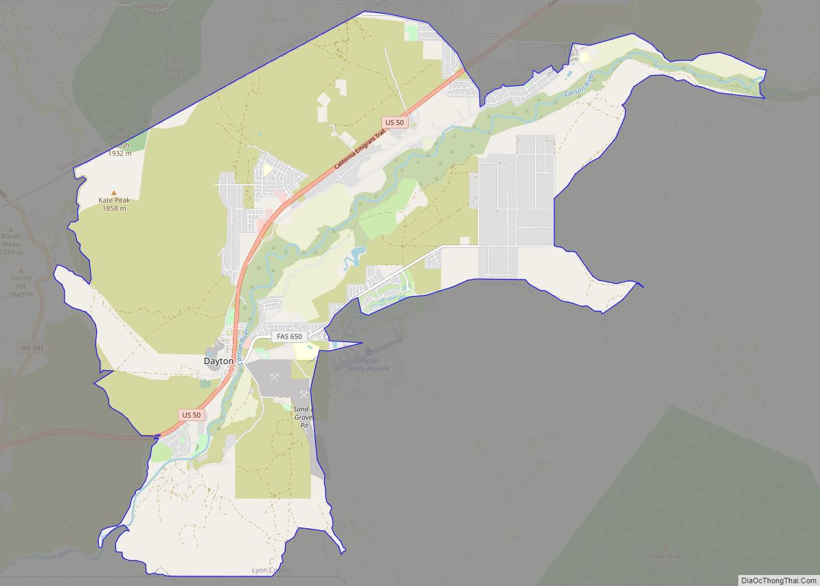
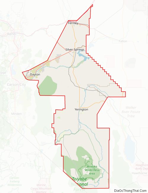
Lyon County was one of the nine original counties created on November 25, 1861. It was named after Nathaniel Lyon, the first Union General to be killed in the Civil War. Its first county seat was established at Dayton on November 29, 1861, which had just changed its name from Nevada City in 1862, and which had been called Chinatown before that. After the Dayton Court House burned down in 1909, the seat was moved to Yerington in 1911. There were stories that it was named for Captain Robert Lyon, a survivor of the Pyramid Lake War in 1860, but Nevada State Archives staff discovered a county seal with the picture of the Civil War general, settling the conflict.
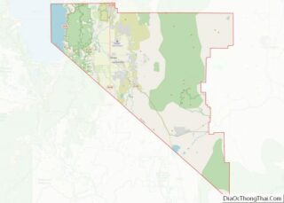
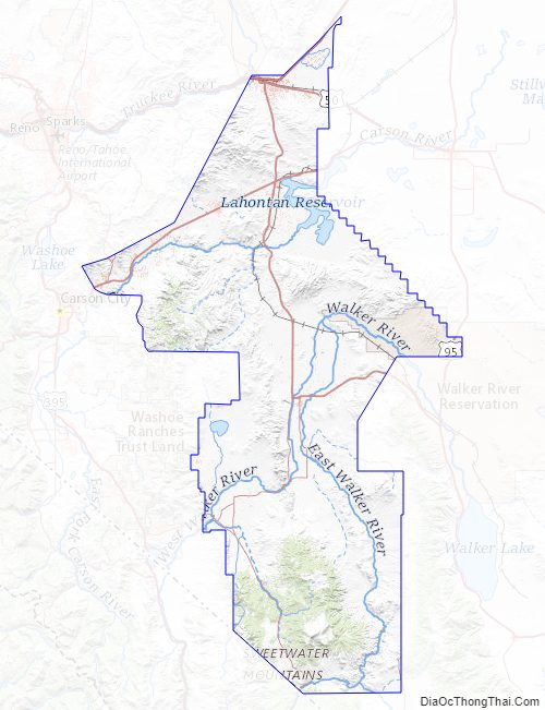
Lyon County Road Map
Geography
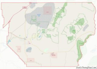
According to the U.S. Census Bureau, the county has a total area of 2,024 square miles (5,240 km), of which 2,001 square miles (5,180 km) is land and 23 square miles (60 km) (1.1%) is water. It is the fourth-smallest county in Nevada by area. The highest point is approximately 10,565 feet (3,220 m) on the northeast ridge of Middle Sister, the peak of which is located in adjacent Mono County, California, while the highest independent mountain completely within Lyon County is the nearby East Sister. The most topographically prominent peak in Lyon County is Bald Mountain.
Part of the Toiyabe National Forest is located within Lyon County.
Major highways
- Interstate 11 (Future)
- Interstate 80
- Interstate 80 Business (Wadsworth–Fernley)
- U.S. Route 50
- U.S. Route 95
U.S. Route 50 Alternate
U.S. Route 95 Alternate- State Route 208
- State Route 338
- State Route 339
- State Route 340
- State Route 341
- State Route 427
- State Route 439
- State Route 823
- State Route 824
- State Route 827
- State Route 828
- State Route 829
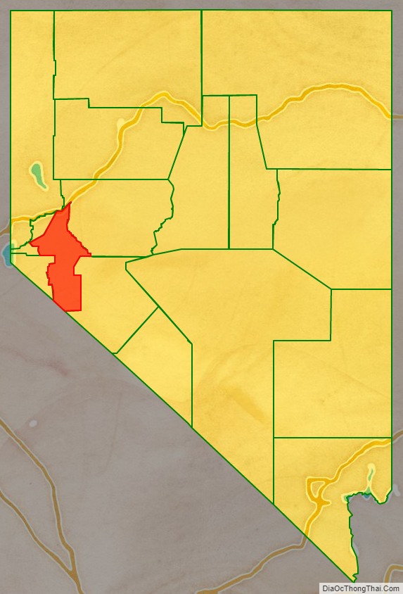
Adjacent counties and city
- Washoe County – north
- Storey County – northwest
- Churchill County – east
- Douglas County – west
- Carson City – west
- Mineral County – southeast
- Mono County, California – southwest
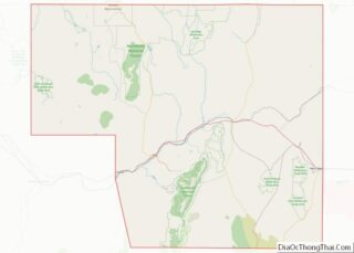
Lyon County Topographic Map
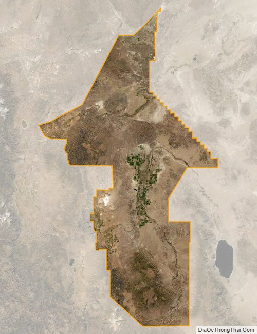
Lyon County Satellite Map
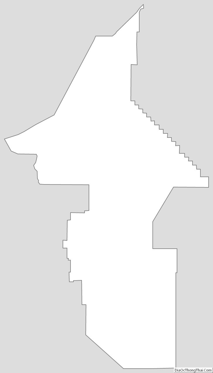
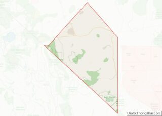
Lyon County Outline Map